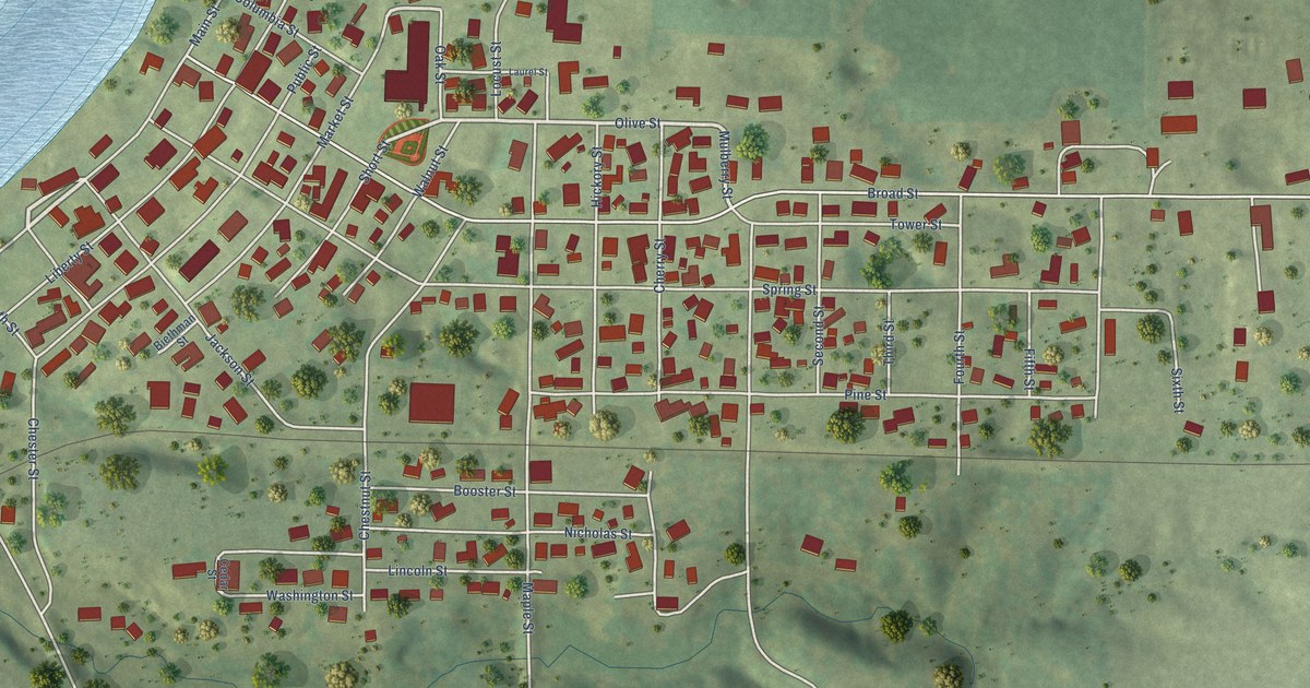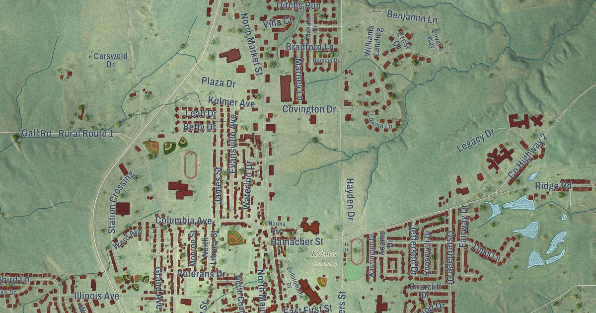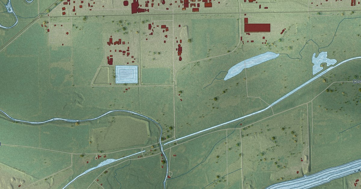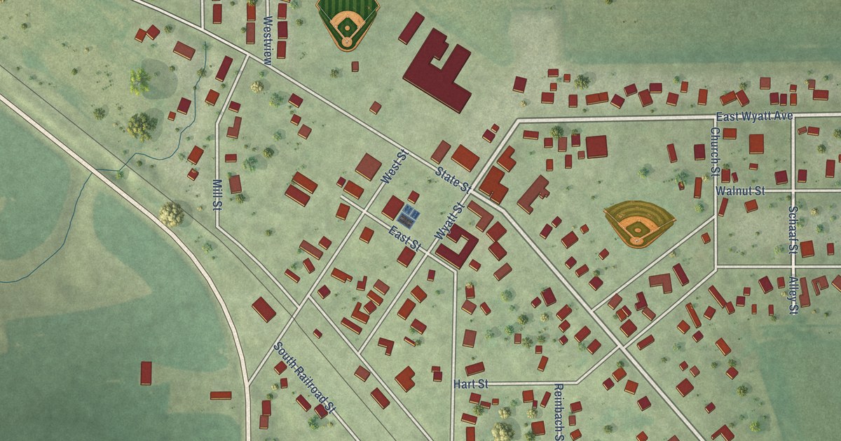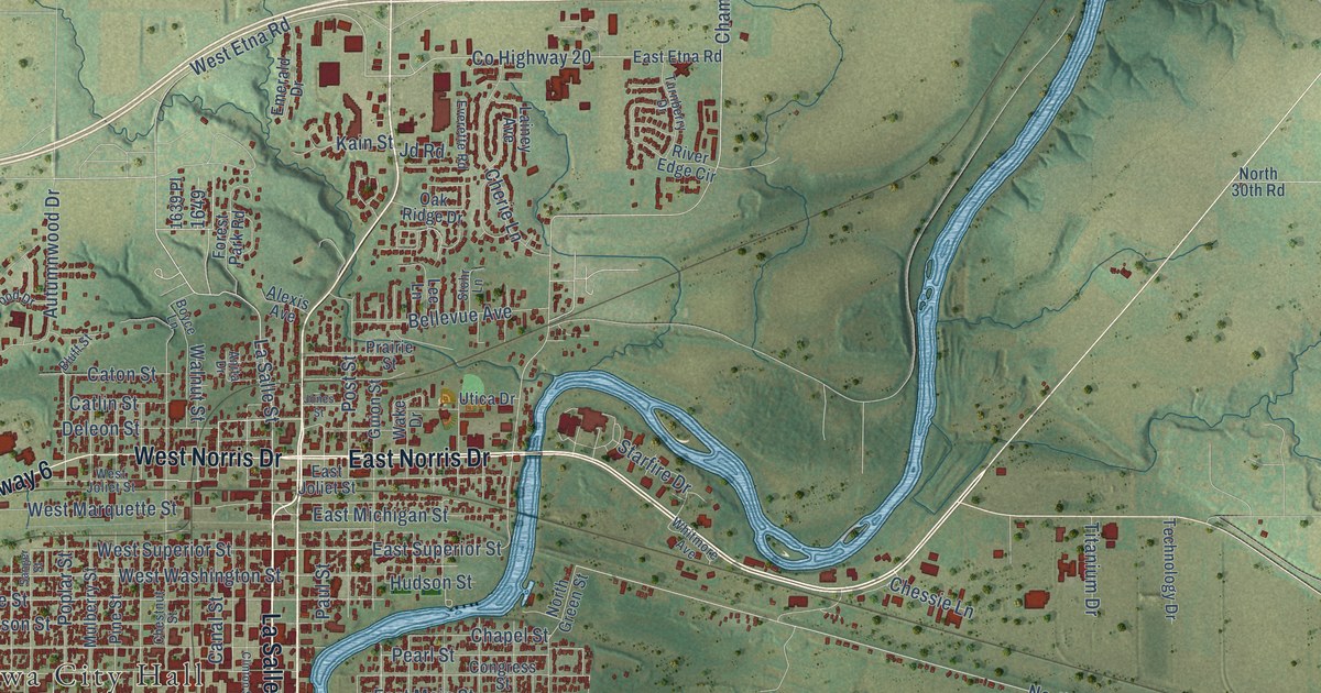
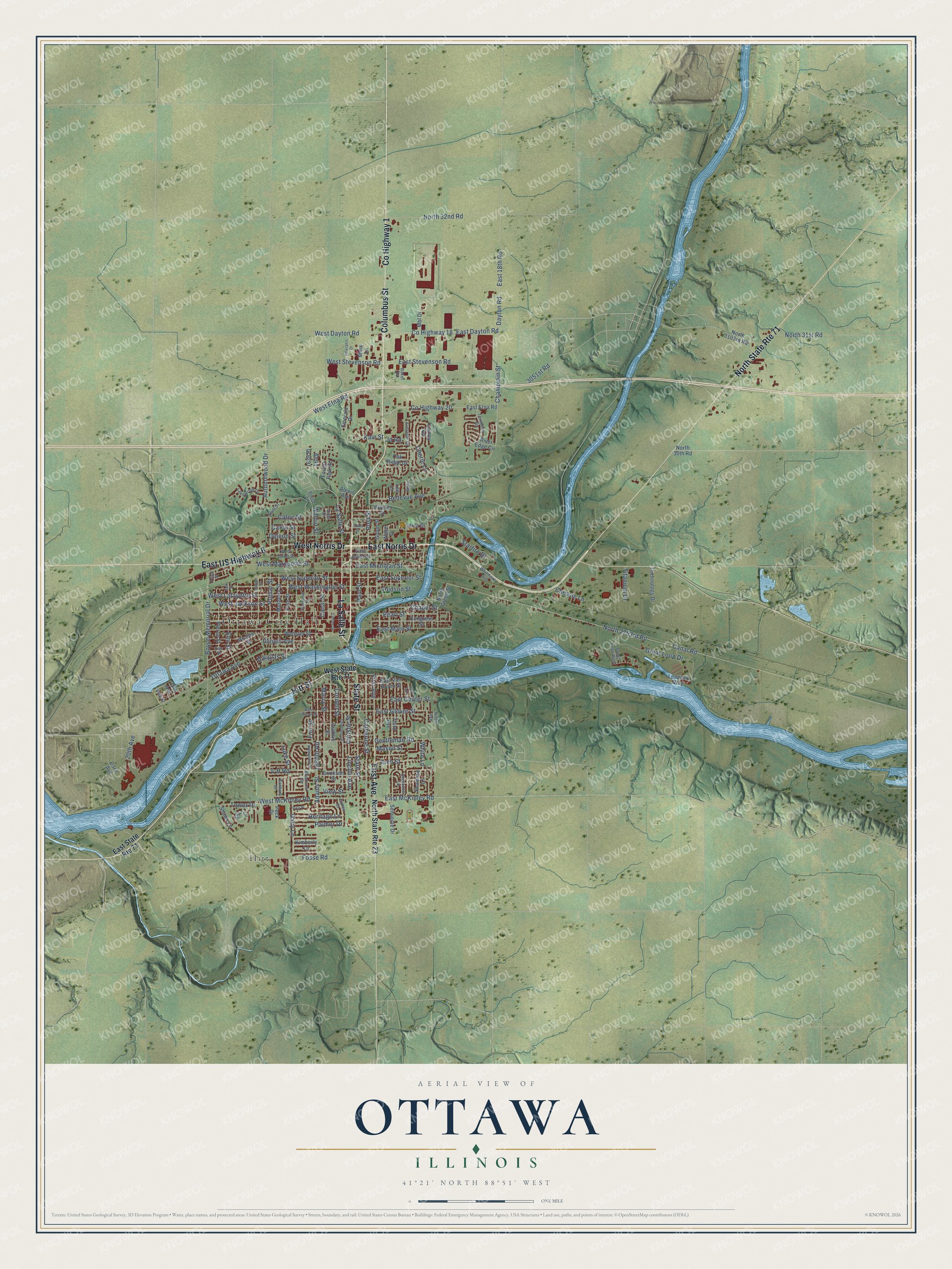
This beautifully detailed map of Ottawa, Illinois was created in 2026 using aerial imagery combined with modern topographical, census, street and landmark data. It’s a one-of-a-kind view of Ottawa that combines accurate data with a vintage aesthetic. The map shows every building in its true location, many of the roads carry their names, and the shaded topographic relief shows the shape of the land.
Explore an aerial view of Ottawa, Illinois
On the map you’ll find Ottawa City Hall and Hitt, along with Columbus Street, La Salle Street, West Norris Drive, East Norris Drive, County Highway 1, Hitt Street, First Avenue, East US Highway 6, State Street, County Highway 18, and more. If you look closely you can even find your house accurately drawn in its correct location. Zoom in on the preview to look for yours.
Did you know this piece of Ottawa, Illinois history?
From the Lincoln Financial Foundation: "In the first of his famous debates with Stephen Douglas, at Ottawa on August 21, 1858, Lincoln argued that his opponent had not always bowed to the will of the Supreme Court as readily as he bowed to its will as expressed in the Dred Scott decision."
Take a closer look at the Ottawa map
Street and place names on the Ottawa, Illinois map
These names are printed on the map of Ottawa, Illinois.
Places: Ottawa City Hall and Hitt.
Streets and roads: Columbus Street, La Salle Street, West Norris Drive, East Norris Drive, County Highway 1, Hitt Street, North State Route 71, First Avenue, East US Highway 6, State Street, County Highway 18, Deleon Street.
More street names, A to Z
4-H Road, 15th Avenue, 20th Avenue, 23rd Avenue, 1639 Place, 1650th Road, 3051st Road, Adams Street, Alexis Avenue, Anita Drive, Arch Street, Autumnwood Drive, Baker Road, Banbury Drive, Bellevue Avenue, Bluff Street, Boyce Lane, Boyce Memorial Drive, Briarcrest Drive, Canal Road, Canal Street, Catherine Street, Catlin Street, Caton Street, Chambers Street, Champlain Street, Chapel Street, Cherie Lane, Cherokee Lane, Chessie Lane, Chestnut Street, Christie Street, Clinton Street, Congress Street, Cornell Street, County Highway 20, Dairy Lane, Dayton Road, Douglas Street, East 18th Road, East Center Street, East Dayton Road, East Etna Road, East Glover Street, East Joliet Street, East Main Street, East McKinley Road, East Michigan Street, East State Route 71, East Stevenson Road, East Superior Street, East Van Buren Street, Edna Circle, Elm Street, Emerald Drive, Erickson Street, Erie Street, Everette Road, Forest Park Road, Fort Street, Fosse Road, Gentleman Road, Great Loop Drive, Great Loop West, Guion Street, Guthrie Street, Heritage Lane, Hudson Street, Illinois Avenue, James Court, Jd Road, Jones Street, Kain Street, Kimberly Lane, Lainey Avenue, Lakewood Drive, Lee Lane, Leeward Way, Lincoln Avenue, Luke Street, Marcy Street, Mason Street, Mbl Drive, Mulberry Street, Mwm Lane, Ninth Avenue, North 30th Road, North 31st Road, North 32nd Road, North 2753rd Road, North 3103rd Road, North Green Street, North State Route 23, Oak Ridge Drive, Ottawa Avenue, Palmor Drive, Park Avenue, Paul Street, Pearl Street, Peck Drive, Phelps Street, Pierce Street, Pike Place, Pine Street, Polk Street, Poplar Street, Post Street, Prairie Street, Price Street, River Edge Circle, Sanger Street, Seminole Drive, Shawnee Lane, Shaws Lane, Starfire Drive, Stohr Lane, Technology Drive, Third Avenue, Titanium Drive, Tower Drive, Turnberry Drive, Utica Drive, Valleyview Drive, Veteran's Drive, View Street, Vine Street, Wake Drive, Walnut Street, Webster Street, West Dayton Road, West Etna Road, West Glover Street, West Jackson Street, West Joliet Street, West Lafayette Street, West Marquette Street, West McKinley Road, West State Route 71, West Stevenson Road, West Superior Street, West Washington Street, White Lane, Whitmore Avenue.
See the Ottawa, Illinois map on a wall
The Ottawa map as an 18 x 24 inch print in a black frame.

This beautifully detailed map of Ottawa makes an attractive addition to your office, library, or den, and it can even be used to teach children the geography and history of the area. It also makes a great gift for anyone with Ottawa roots. When you’re done exploring, click here to get your copy of the Ottawa map.