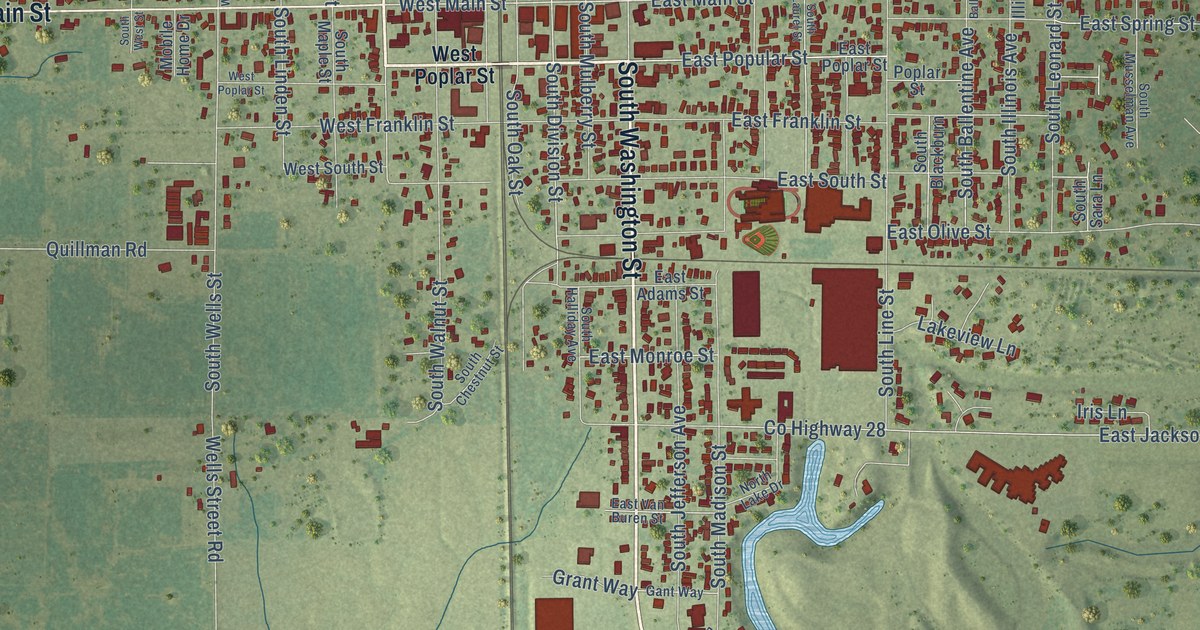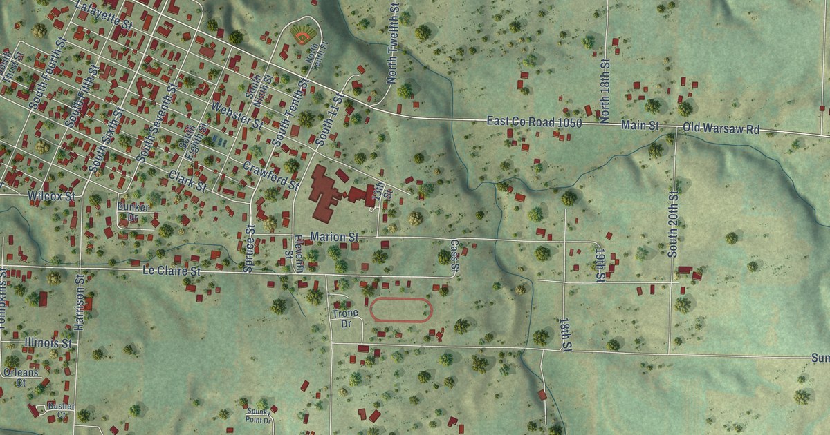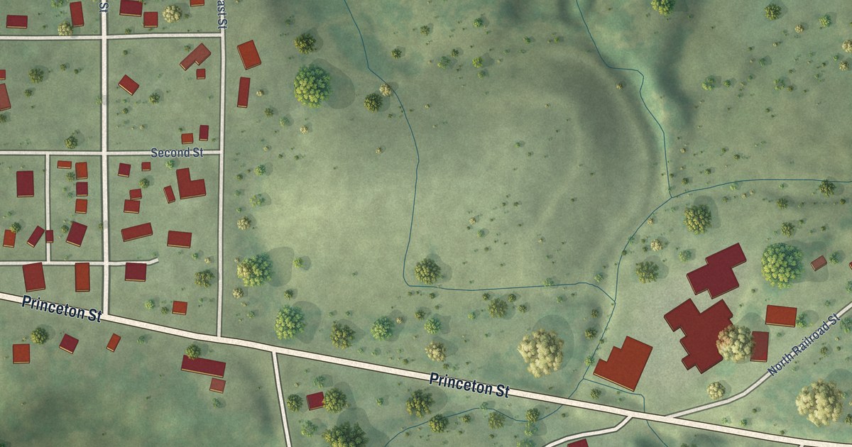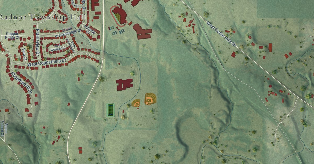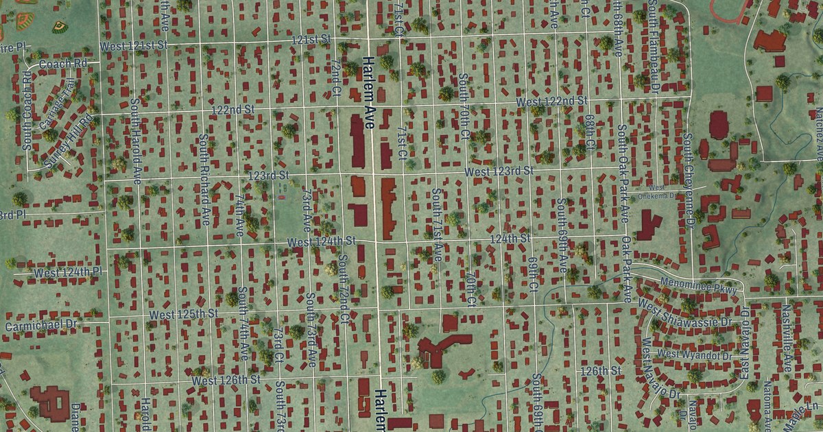
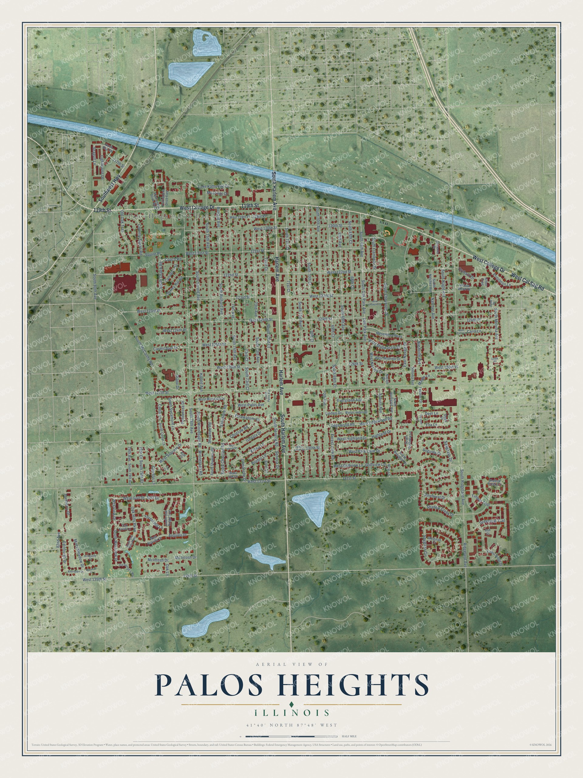
This beautifully detailed map of Palos Heights, Illinois was created in 2026 using aerial imagery combined with modern topographical, census, street and landmark data. It’s a one-of-a-kind view of Palos Heights that combines accurate data with a vintage aesthetic. The map shows every building in its true location, many of the roads carry their names, and the shaded topographic relief shows the shape of the land.
Explore an aerial view of Palos Heights, Illinois
On the map you’ll find Palos Heights City Hall and Community Park, along with West College Drive, Harlem Avenue, South Harlem Avenue, 119th Street, Southwest Highway, West Cal Sag Road, Shoshone Road, South Choctaw Road, Seagull Lane, South 68th Avenue, and more. If you look closely you can even find your house accurately drawn in its correct location. Zoom in on the preview to look for yours.
Did you know this piece of Palos Heights, Illinois history?
From the Cook County Hazard Mitigation Plan: "Beginning in the 1860s, areas of what is now Palos Heights were farmed by German and Irish families, while the hills were used for pasture."
Take a closer look at the Palos Heights map
Street and place names on the Palos Heights, Illinois map
These names are printed on the map of Palos Heights, Illinois.
Places: Palos Heights City Hall and Community Park.
Streets and roads: West College Drive, Harlem Avenue, South Harlem Avenue, 119th Street, Southwest Highway, West Cal Sag Road, Shoshone Road, South Choctaw Road, Seagull Lane, South 68th Avenue, South Oak Park Avenue, Oak Park Avenue.
More street names, A to Z
68th Court, 69th Avenue, 69th Court, 70th Avenue, 70th Court, 71st Court, 72nd Court, 73rd Avenue, 73rd Court, 74th Avenue, 78th Court, 79th Avenue, 82nd Avenue, 117th Street, 119th Place, 120th Street, 121st Street, 122nd Street, 123rd Street, 124th Place, 124th Street, 125th Place, 126th Street, 130th Street, 131st Street, 135th Street, Aberdeen Court, Aberdeen Drive, Arbor Trail, Arquilla Drive, Ash Court, Auburn Avenue, Augusta Drive, Briar Lane, Carmichael Drive, Carol Lane, Carriage Trail, Cedar Lane, Choctaw Road, Coach Road, Comanche Drive, Country Squire Road, Cypress Lane, Deer Lane, Diane Drive, East Navajo Drive, Edgewood Road, Edinburgh Drive, Elm Court, Evergreen Avenue, Feldner Court, Forest Hill Lane, Forest Ridge Drive, Forest View Road, Fox Lane, Golf Drive, Golfview Lane, Greenleaf Trail, Harold Avenue, Highland Drive, Ishnala Drive, Kiowa Lane, Kirkcaldy Court, Lake Katherine Drive, Lighthouse Lane, Linden Drive, Maple Lane, Mc Intosh Drive, McIntosh Drive, Medinah Court, Menominee Parkway, Misty Meadow Drive, Moorings Drive, Nashville Avenue, Natchez Avenue, Natoma Avenue, Navajo Drive, North Bay Road, Oak Court, Oak Hills Parkway, Oak Knoll Lane, Oak Lane, Old George's Way, Old Oak Trail, Orchard Drive, Parliament Drive East, Parliament Drive West, Pheasant Court, Pinehurst Drive, Pine Place, Ponderosa Drive, Potawatomi Drive, Princeton Lane, Pueblo Lane, Quail Court, Richard Avenue, Ridgeland Avenue, Sawgrass Drive, Seneca Drive, Shadow Creek Circle, Shadow Creek Drive, Shawnee Road, Sioux Lane, Sorrento Drive, South 68th Court, South 69th Avenue, South 69th Court, South 70th Avenue, South 70th Court, South 71st Avenue, South 71st Court, South 72nd Court, South 73rd Avenue, South 73rd Court, South 74th Avenue, South 75th Avenue, South 76th Avenue, South 78th Court, South 79th Avenue, South 80th Avenue, South Cedar Lane, South Cheyenne Drive, South Coach Road, South Flambeau Drive, South Golfview Lane, South Harold Avenue, South McCarthy Road, South Melvina Avenue, South Nagle Avenue, South Natchez Avenue, South Oak Hills Parkway, South Oak Ridge Trail, South Palos Avenue, South Richard Avenue, South Ridgeland Avenue, South Seneca Road, South Shawnee Road, South Sycamore Lane, South Westgate Avenue, South Westgate Drive, South Westview Drive, South Winnebago Road, Spyglass Circle, Squire Place, Surrey Hill Road, Timber Trail, Turnberry Drive, West 119th Place, West 120th Street, West 121st Street, West 122nd Street, West 123rd Place, West 123rd Street, West 124th Place, West 124th Street, West 125th Street, West 126th Place, West 126th Street, West 127th Street, West 130th Street, West 131st Street, West 135th Street, West Arquilla Drive, West Carol Lane, West Edgewood Road, West Golf Drive, West Golfview Lane, West Highland Drive, West Ishnala Drive, West Linden Drive, West Manitoba Drive, West Navajo Drive, West Onekema Drive, West Palos Avenue, West Park Lane Drive, West Sequoia Drive, West Shiawassie Drive, West Ute Lane, Westview Drive, West Wyandot Drive, Willow Wood Drive, Winnebago Road.
See the Palos Heights, Illinois map on a wall
The Palos Heights map as an 18 x 24 inch print in a black frame.

This beautifully detailed map of Palos Heights makes an attractive addition to your office, library, or den, and it can even be used to teach children the geography and history of the area. It also makes a great gift for anyone who grew up in Palos Heights or moved away. When you’re done exploring, click here to get your copy of the Palos Heights map.