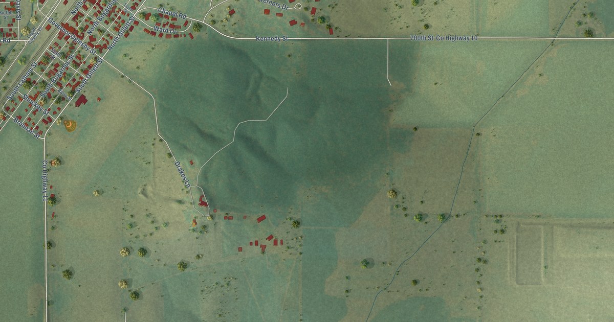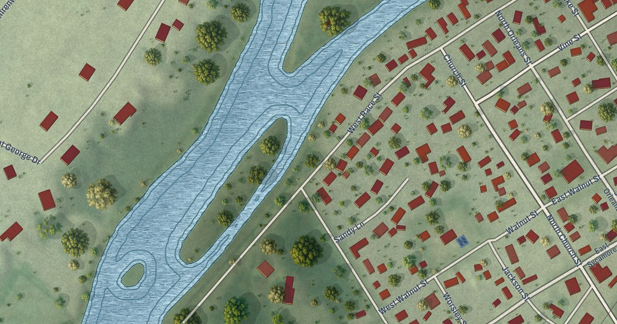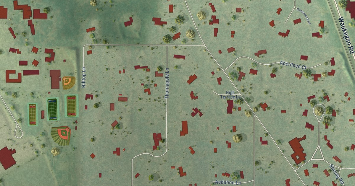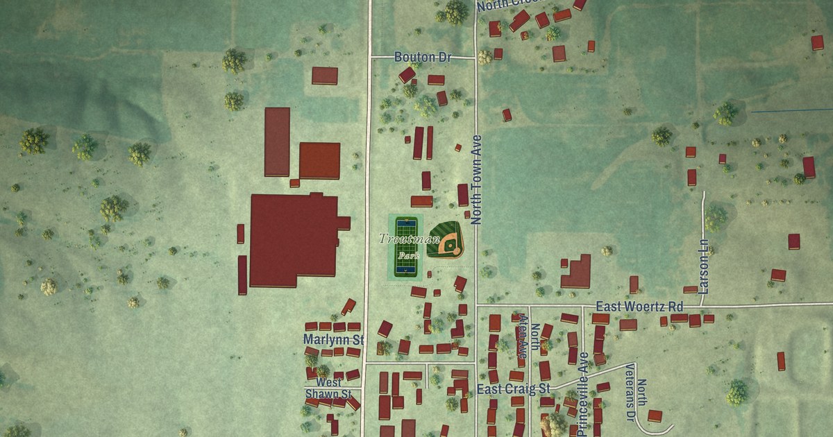
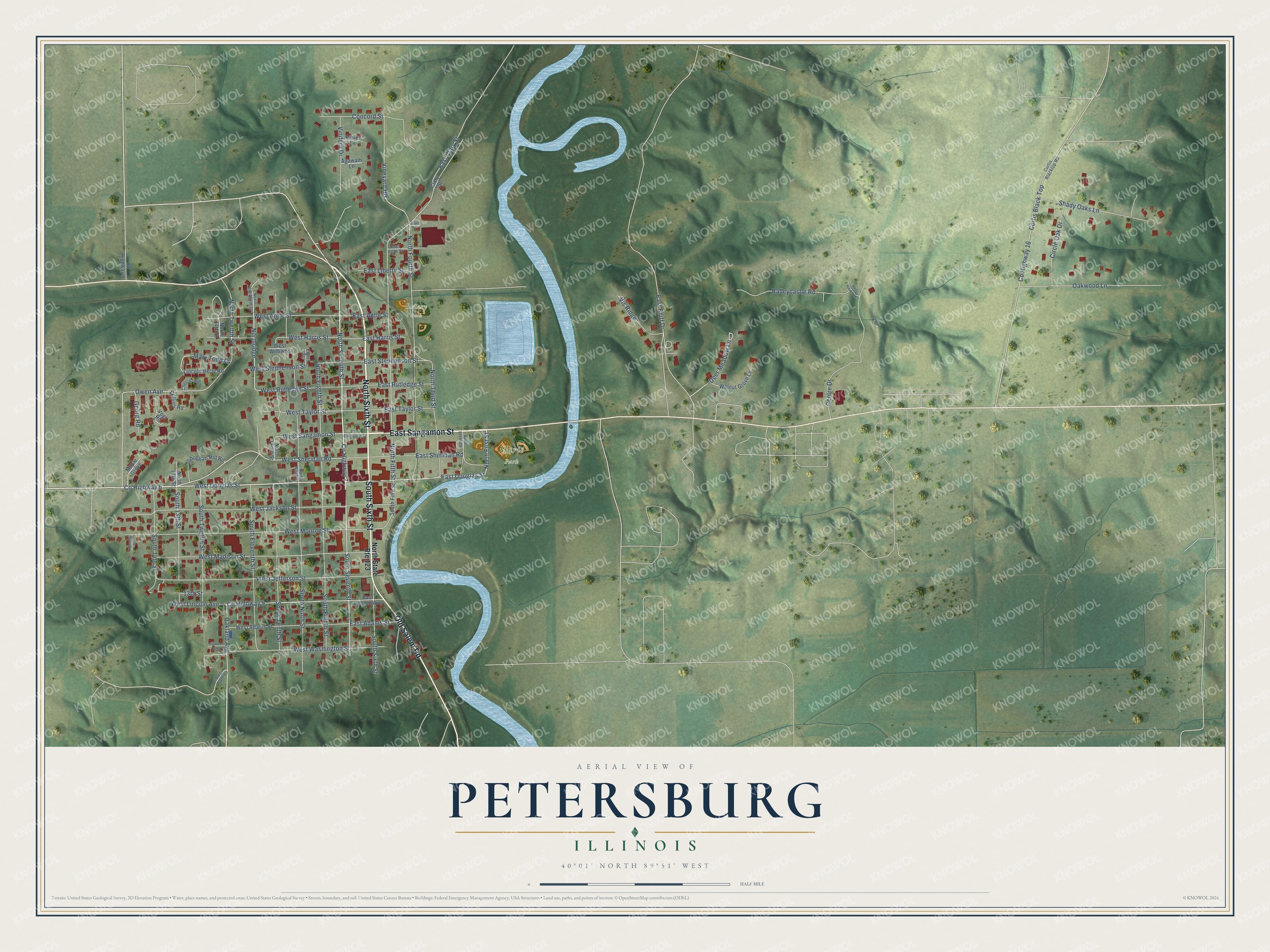
This beautifully detailed map of Petersburg, Illinois was created in 2026 using aerial imagery combined with modern topographical, census, street and landmark data. It's a modern aerial view of Petersburg in Menard County, Illinois, that combines modern data with a vintage aesthetic. The roads feature printed names, and if you look closely you can find your exact house accurately shown in its correct location.
Explore an aerial view of Petersburg, Illinois
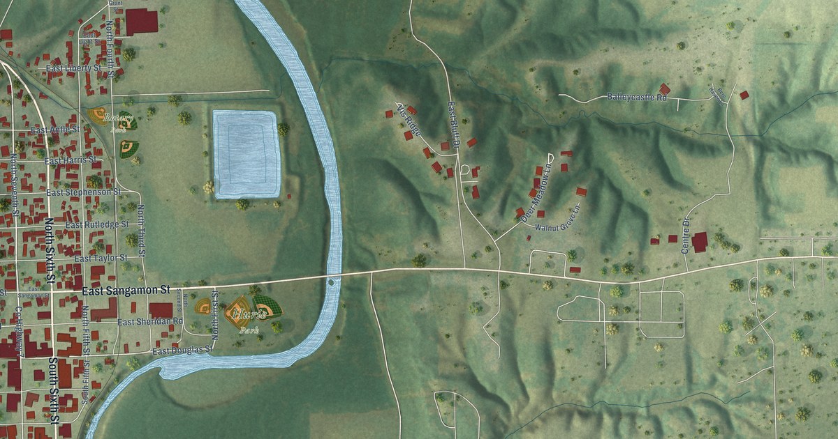
On this map you'll find Hurie Park, Rotary Park, East Sangamon Street, North Sixth Street, South Sixth Street, Old Salem Road, Co Highway 7, West Douglas Street, North Seventh Street, East Douglas Street, North First Street, South Seventh Street, and more. Each red shape is a building, so zoom in on the preview and look for yours.
Every town has a first chapter, and Petersburg is no exception. The Lincoln Financial Foundation puts it this way: "Petersburg has three schools, in the very early days of its existence having learned the necessity of education, in 1836 a school was opened in a little cabin which was used as a seminary for all the children of the town."
Petersburg is a city in Menard County. The Census Bureau counted 2,258 people here in 2020.
Take a closer look at the Petersburg map
Names on this map
These names are printed on this map.
Places: Hurie Park and Rotary Park.
Streets and roads: East Sangamon Street, North Sixth Street, South Sixth Street, Old Salem Road, County Highway 7, West Douglas Street, North Seventh Street, East Douglas Street, North First Street, South Seventh Street, Owen Avenue, West Sangamon Street.
More street names, A to Z
13th Street, Agawam Lane, Balleycastle Road, Bere Haven Lane, Centre Drive, Chester Road, Circle Oak Drive, Clary Street, Collins Road, Concord Street, County Highway 6, County Highway 8, County Highway 9, County Highway 16, Curtis Black Top, Curtis Blacktop Road, Deer Meadow Lane, Deer Path Lane, East Adams Street, East Antle Street, East Bluff Drive, East Clary Street, East Harris Street, East Liberty Street, East Light Street, East Lincoln Avenue, East Rutledge Street, East Sheridan Road, East Stephenson Street, East Taylor Street, Eighth Street, Eureka Avenue, Georg Road, Grant Street, Kennedy Drive, Lincoln Berry Road, Maple Grove, Mary Todd Lane, North 13th Street, North 14th Street, North Eighth Street, North Eleventh Street, North Fifth Street, North Fourth Street, North Ninth Street, Northridge, North Second Street, North State Route 123, North Tenth Street, North Third Street, North Twelfth Street, Oakland Avenue, Oakwood Lane, Ribier Lane, Shady Oaks Lane, South 13th Street, South 14th Street, South Eighth Street, South Eleventh Street, South Fifth Street, South Ninth Street, South Tenth Street, South Twelfth Street, Toboggan Hill Road, Vineyard Hls, Vinifera Drive, Vis Ridge, Vogt Road, Walnut Grove Lane, West Adams Street, West Antle Street, West Harris Street, West Jackson Street, West Jefferson Street, West Lincoln Avenue, West Madison Street, West Monroe Street, West Rutledge Street, West Sheridan Road, West Stephenson Street, West Taylor Street, West Washington Street, West Williams.
Created by KNOWOL in 2026. The buildings are small red shapes, the roads carry their printed names, and shaded relief shows the shape of the land. The title panel reads "AERIAL VIEW OF PETERSBURG ILLINOIS" with 40°01' NORTH 89°51' WEST.
Hang it in the hallway, the office or the cabin, or give it to someone who left Petersburg and still calls it home. Open the preview and look for a street you know. See sizes and frames for the Petersburg map.