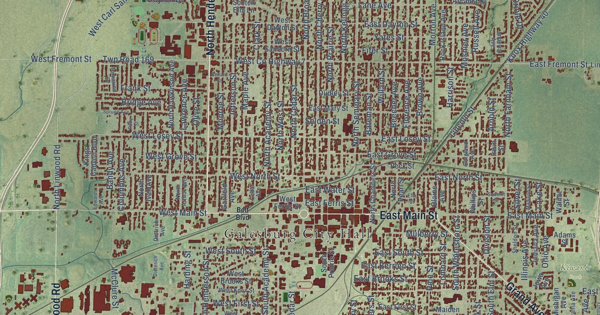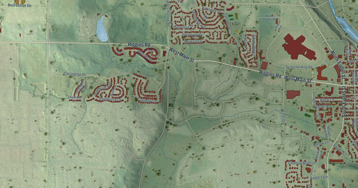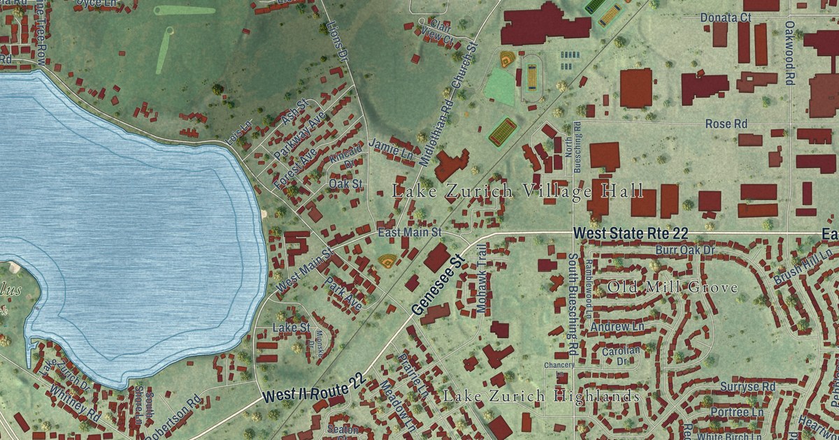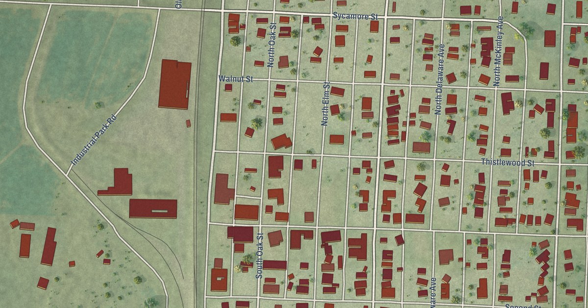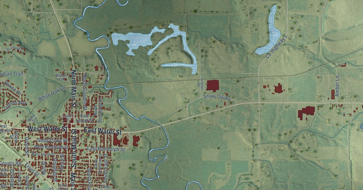
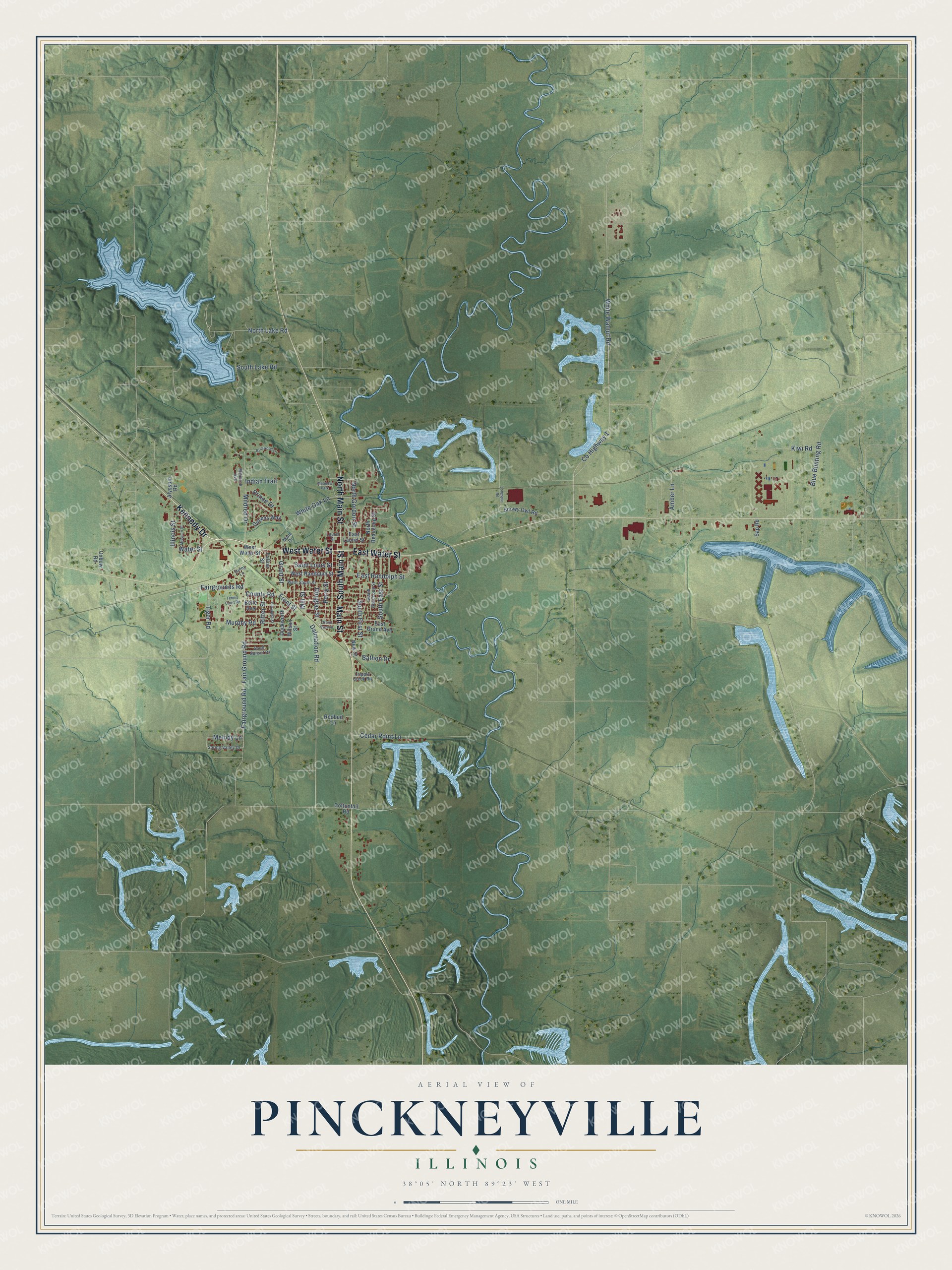
This beautifully detailed map of Pinckneyville, Illinois was created in 2026 using aerial imagery combined with modern topographical, census, street and landmark data. It's a modern aerial view of Pinckneyville in Perry County, Illinois, that combines modern data with a vintage aesthetic. The roads feature printed names, and if you look closely you can find your exact house accurately shown in its correct location.
Explore an aerial view of Pinckneyville, Illinois
On this map you'll find Kennedy Drive, North Main Street, West Water Street, East Water Street, Main Street, South Main Street, Fairground Road, Fairgrounds Road, County Road, Grant Street, Front Street, Dalmation Road, and more. Each red shape is a building, so zoom in on the preview and look for yours.
Pinckneyville has a story worth telling. The Lewis Publishing Company puts it this way: "The commissioners met in Mr. Amos Anderson's house, which was situated on Panther creek, three and a half miles east of Pinckneyville, on what is now the DuQuoin and Pinckneyville wagon road. The commissioners selected the present site of Pinckneyville as the county seat."
Pinckneyville is a city in Perry County. The Census Bureau counted 5,066 people here in 2020.
Take a closer look at the Pinckneyville map
Names on this map
These names are printed on this map.
Places: Meadow Park.
Streets and roads: Kennedy Drive, North Main Street, West Water Street, East Water Street, Main Street, South Main Street, Fairground Road, Fairgrounds Road, County Road, Grant Street, Front Street, Dalmation Road.
More street names, A to Z
Alyssum Road, Amber Lane, Bathon Drive, Belle Avenue, Blue Bunting Road, Briarwood Lane, Cedar Point Lane, Cottontail Road, County Highway 1, Cripple Creek Road, Douglas Street, Duckworth, East Grand Avenue, East Laurel Street, East Randolph Street, Elizabeth Street, Fair Ground Road, Fallon Street, Grand Svenue, Illinois Street, Indian Trail, Kiwi Road, Laurel Street, Longspur Road, Mann Drive, Melody Lane, Mildred Drive, Mill Street, Missouri Street, Monarch Avenue, Murphy Road, New Street, North Beaucoup Street, North Gordon Street, North Lake Road, Oxbow Road, Perry Street, Prince Drive, Queens Way, Redbud Lane, Ritter Street, Saint Louis Street, Sap Road, Snowy Owl Road, South Beaucoup Street, South East Street, South First Street, South Lake Road, South Sunset Drive, Spring Valley Drive, Sunny Lane, Tennis Court Road, Tiger Road, Water Street, West Randolph Street, West South Street, White Oak Lane, White Walnut Road, Wilson Street.
Created by KNOWOL in 2026. The buildings are small red shapes, the roads carry their printed names, and shaded relief shows the shape of the land. The title panel reads "AERIAL VIEW OF PINCKNEYVILLE ILLINOIS" with 38°05' NORTH 89°23' WEST.
It looks right in a kitchen, an office or a den, and it's a gift for anyone who grew up in Pinckneyville or moved away. Open the preview and find your street. See sizes and frames for the Pinckneyville map.