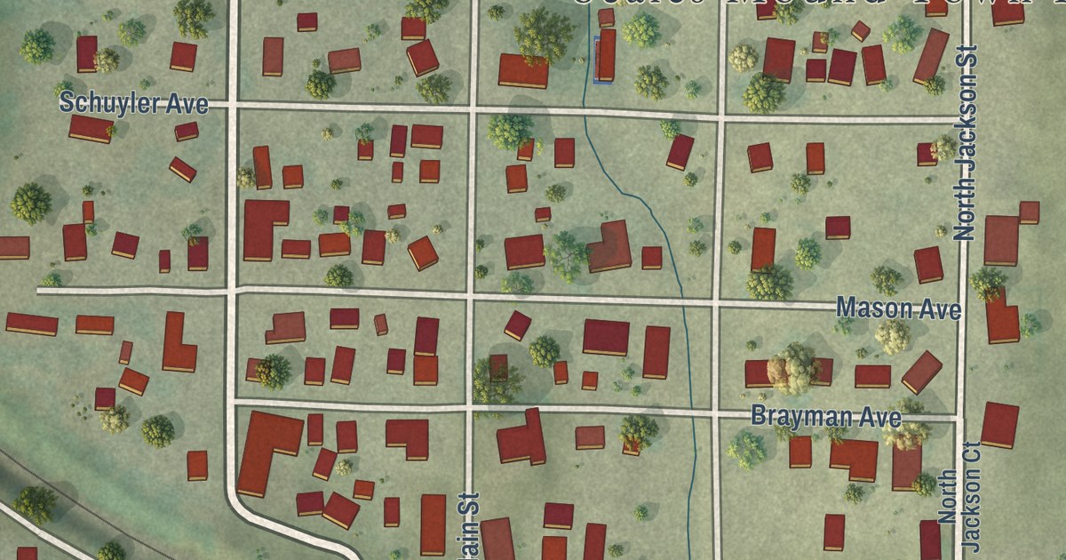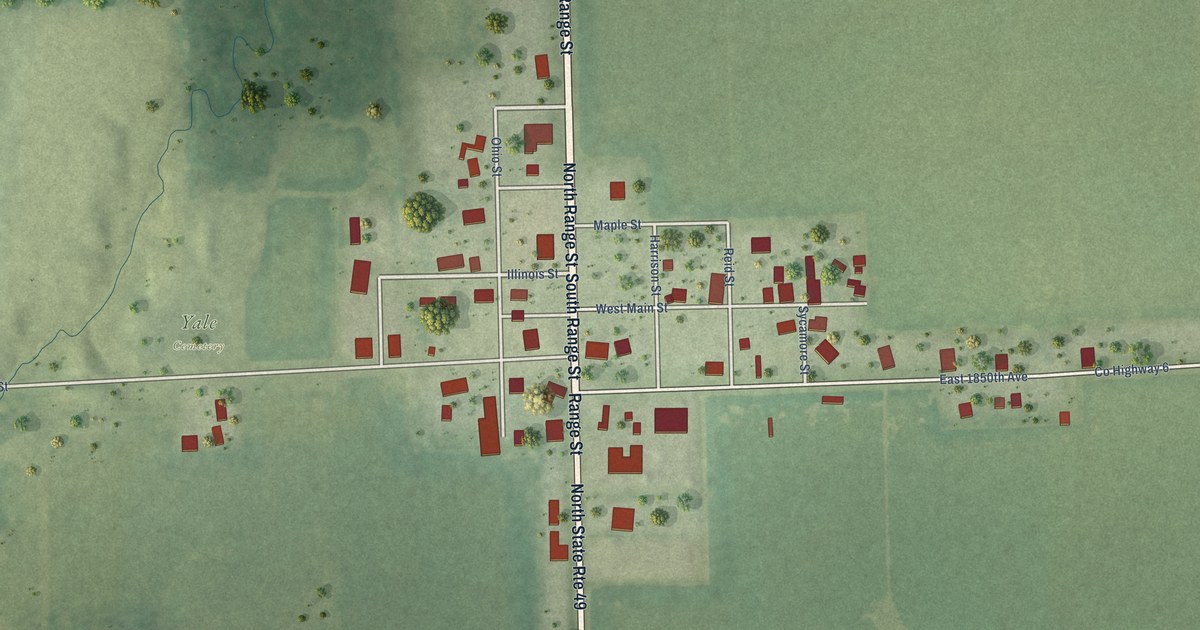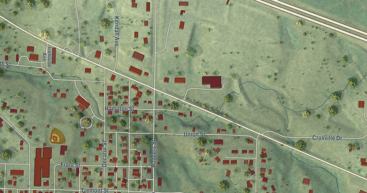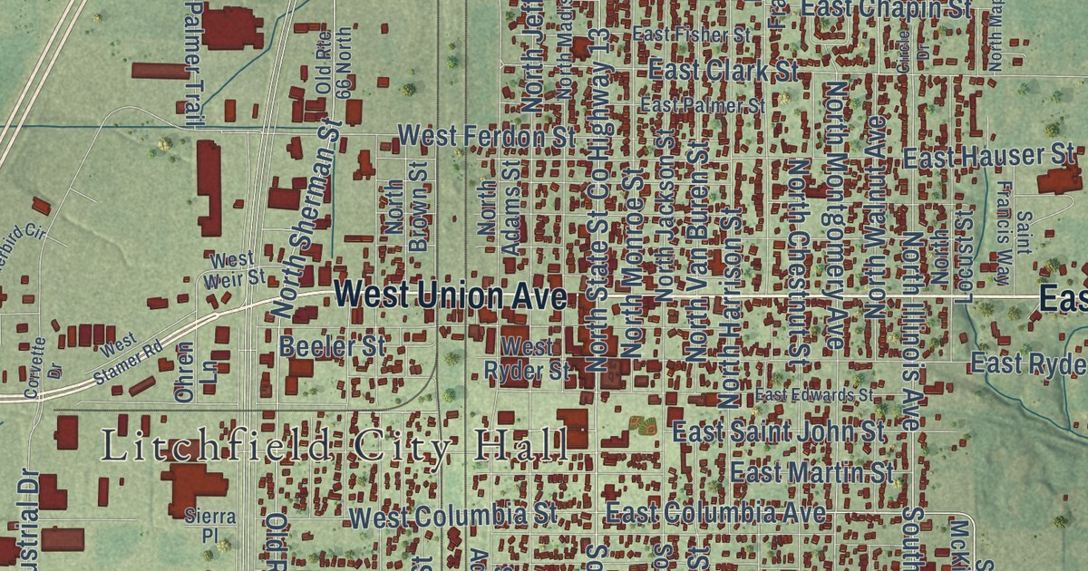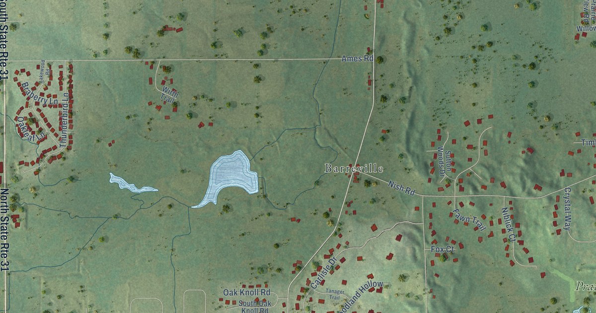
This beautifully detailed map of Prairie Grove, Illinois was created in 2026 using aerial imagery combined with modern topographical, census, street and landmark data. It’s a one-of-a-kind view of Prairie Grove that combines accurate data with a vintage aesthetic. The map shows every building in its true location, many of the roads carry their names, and the shaded topographic relief shows the shape of the land.
Explore an aerial view of Prairie Grove, Illinois
On the map you’ll find Village of Prairie Grove, Barreville, and Prairie Isle Golf Club, along with West State Road, Barreville Road, Rita Avenue, Carlisle Court, Valley View Road, Nish Road, Ames Road, West Gracy Road, Carlisle Drive, and more. If you look closely you can even find your house accurately drawn in its correct location. Zoom in on the preview to look for yours.
Did you know this piece of Prairie Grove, Illinois history?
From the Encyclopedia of Chicago: "The village of Prairie Grove is located within Nunda Township in southeastern McHenry County. When the village incorporated in 1973, the rural locale's population of 434 residents was barely dense enough to qualify for incorporation."
Take a closer look at the Prairie Grove map
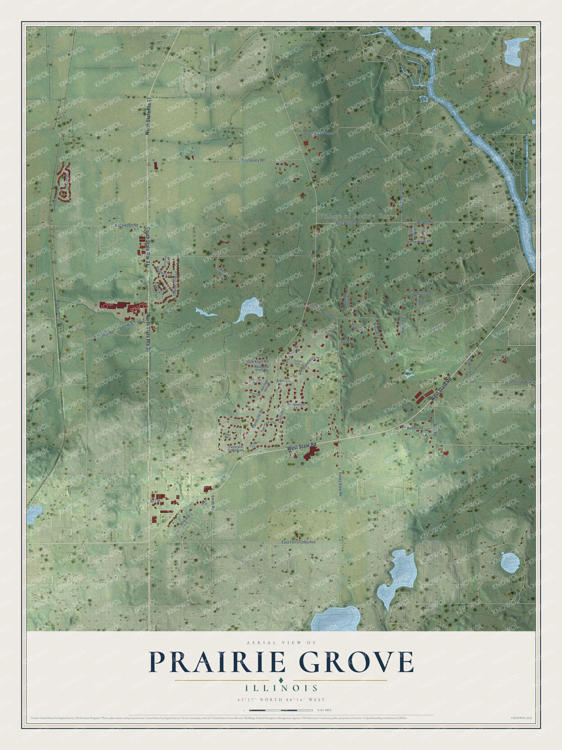
Street and place names on the Prairie Grove, Illinois map
These names are printed on the map of Prairie Grove, Illinois.
Places: Village of Prairie Grove, Barreville and Prairie Isle Golf Club.
Streets and roads: West State Road, North State Route 31, South State Route 31, Barreville Road, Rita Avenue, Carlisle Court, Valley View Road, Nish Road, Ames Road, West Gracy Road, Carlisle Drive, West Wright Road.
More street names, A to Z
Arbor Lane, Bay Road, Bayview Beach Road, Behan Road, Braberry Lane, Buhl Road, Cobblestone Drive, Conestoga Trail, Crystal Circle, Crystal Way, East Terra Cotta Avenue, Edgewood Road, Erin Court, Fawn Trail, Fox Court, Granite Court, Half Mile Road, Half Mile Trail, Harry Court, Heritage Hills Drive, Hillview Drive, Homestead Trail, Justen Road West, Lakewood Road, Meadowlark Lane, Niblick Court, Oak Knoll Road, Oakleaf Lane, Park Meadow Road, Prairie View Road, Ray Street, Red Bud Court, Sherman Boulevard, Smith Road, South Justen Road, South Oak Knoll Road, Sutton Woods Drive, Tamarack Circle, Tamarack Trail South, Tanager Trail, Thunderbird Lane, Timber Trail Drive, Willow Creek Road, Wirth Trail, Woodland Hollow, Wright Road.
See the Prairie Grove, Illinois map on a wall
The Prairie Grove map as an 18 x 24 inch print in a black frame.

This beautifully detailed map of Prairie Grove makes an attractive addition to your office, library, or den, and it can even be used to teach children the geography and history of the area. It also makes a great gift for anyone who grew up in Prairie Grove or moved away. When you’re done exploring, click here to get your copy of the Prairie Grove map.