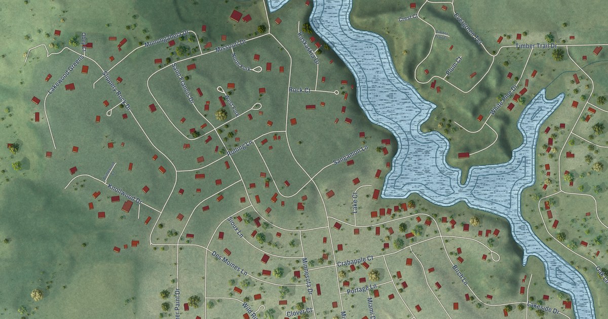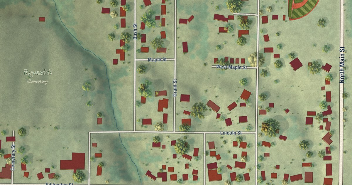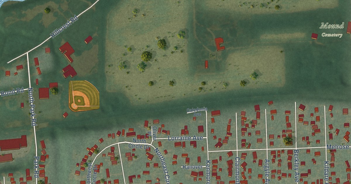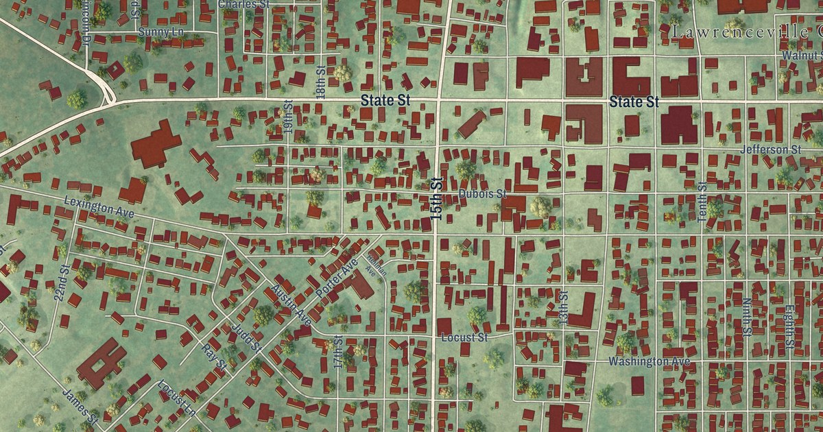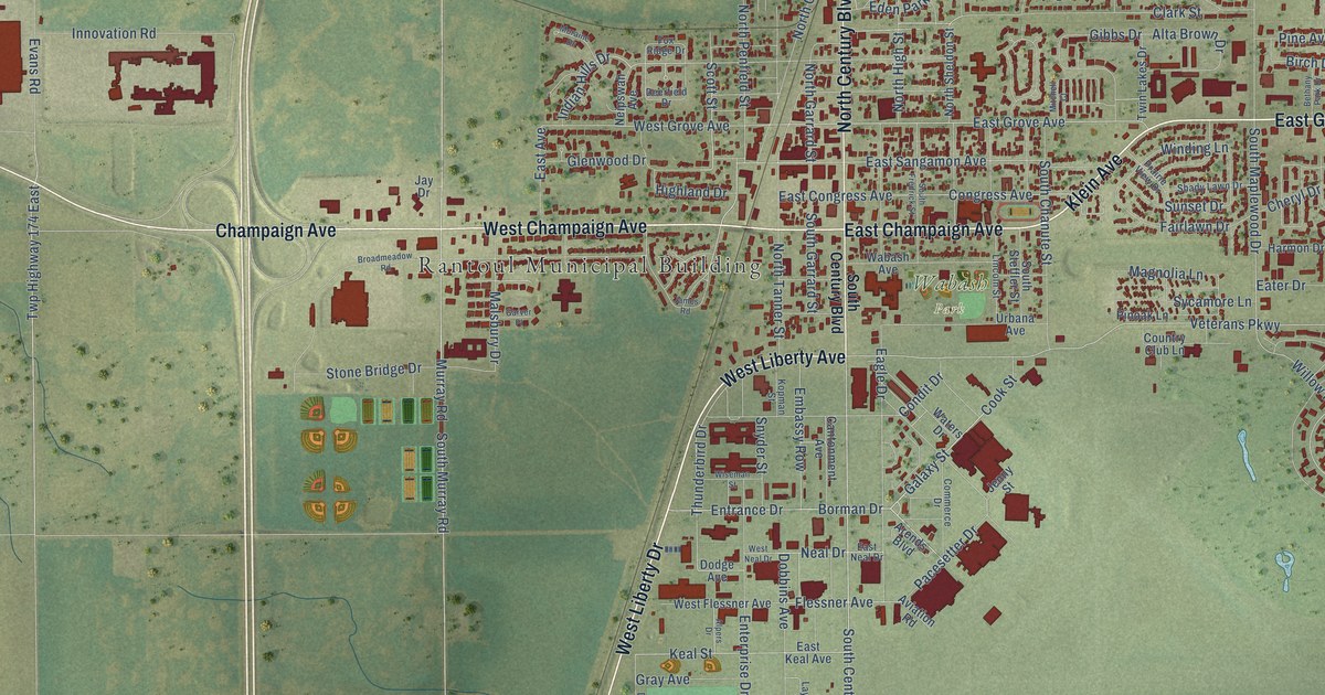
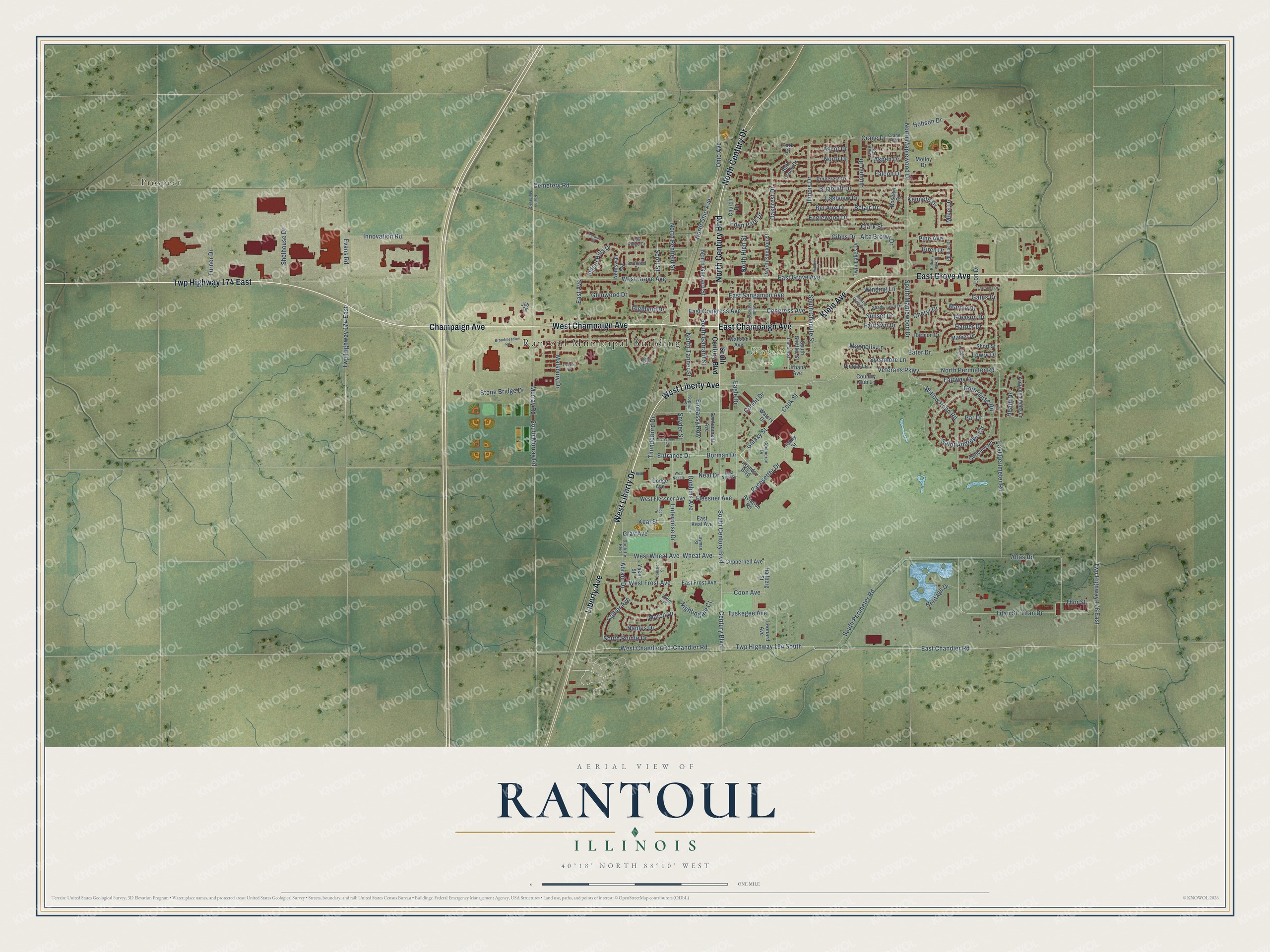
This beautifully detailed map of Rantoul, Illinois was created in 2026 using aerial imagery combined with modern topographical, census, street and landmark data. It’s a one-of-a-kind view of Rantoul that combines accurate data with a vintage aesthetic. The map shows every building in its true location, many of the roads carry their names, and the shaded topographic relief shows the shape of the land.
Explore an aerial view of Rantoul, Illinois
On the map you’ll find Rantoul Municipal Building, Wabash Park, Prospect, and Twp Highway 174 East, along with Liberty Avenue, East Grove Avenue, West Liberty Avenue, Klein Avenue, West Liberty Drive, East Champaign Avenue, West Champaign Avenue, Champaign Avenue, and more. If you look closely you can even find your house accurately drawn in its correct location. Zoom in on the preview to look for yours.
Did you know this piece of Rantoul, Illinois history?
From the Champaign County History: "Rantoul was first settled in 1855-56. The first physician to locate there was Dr. D. M. Marshall, who came in 1856 and remained till 1860."
Take a closer look at the Rantoul map
Street and place names on the Rantoul, Illinois map
These names are printed on the map of Rantoul, Illinois.
Places: Rantoul Municipal Building, Wabash Park and Prospect.
Streets and roads: Liberty Avenue, East Grove Avenue, West Liberty Avenue, Klein Avenue, West Liberty Drive, East Champaign Avenue, Twp Highway 174 East, West Champaign Avenue, Champaign Avenue, North Century Boulevard, North Century Drive, Chandler Road.
More street names, A to Z
Abram Drive, Alpers Drive, Alta Brown Drive, Arends Boulevard, Ascot Drive, Aspen Drive, Atlas Road, Autumn Fields Lane, Aviation Road, Belair Drive, Bel Aire Drive, Bethany Park Drive, Bihler Place, Birch Drive, Borman Drive, Briarcliff Drive, Broadmeadow Road, Cantonment Avenue, Carolina Drive, Cemetery Road, Century Boulevard, Cheryl Drive, Church Drive, Clark Street, Collier Avenue, Collision Street, Commerce Drive, Condit Drive, Congress Avenue, Cook Street, Coon Avenue, Country Club Lane, Crane Avenue, Crane Drive, Cuppernell Avenue, Deerfield Drive, Dobbins Avenue, Dodge Avenue, Doolittle Boulevard, Eagle Drive, East Avenue, East Chandler Road, East Congress Avenue, East Frost Avenue, East Keal Avenue, East Neal Drive, East Perimeter Road, East Sangamon Avenue, Eastview Drive, Eater Drive, Eden Park Drive, Embassy Row, Englewood Drive, Enterprise Drive, Entrance Drive, Evans Road, Fairlawn Drive, Fairway Drive, Falcon Drive, Flessner Avenue, Fox Ridge Drive, Galaxy Street, Garver Place, Gates Drive, Gibbs Drive, Gleason Drive, Glenwood Drive, Golfcourse Road, Golfview Road, Gray Avenue, Hallberg Street, Harmon Drive, Harper Drive, Heath Drive, Heritage Drive, Highland Drive, Hobson Drive, Illinois Drive, Indian Hills Drive, Innovation Road, James Road, Jay Drive, Jenny Street, Juniper Drive, Keal Street, Keesler Drive, Kenneth Drive, Kopman Street, Laurel Drive, Layman Street, Leonard Avenue, Lincoln Street, Lon Drive, Lowry Drive, Magnolia Lane, Malsbury Drive, Marcia Drive, Marco Drive, Mather Drive, Mikel Drive, Mitchell Court, Molloy Drive, Moraine Drive, Murray Road, Naples Drive, Neal Drive, Neipswah Avenue, Nightingale Court, North Drive, North Garrard Street, North High Street, North Maplewood Drive, North Murray Road, North Ohio Avenue, North Penfield Street, North Perimeter Road, North Sheldon Street, North Tanner Street, Oakcrest Drive, Ohio Avenue, Pacesetter Drive, Par Drive, Park Drive, Phillips Drive, Pine Avenue, Pinecrest Drive, Pinoak Lane, Prairie View Drive, Roselyn Drive, Ruth Crane Drive, Saint Andrews Circle, Scott Street, Shady Lawn Drive, Shelhouse Drive, Short Street, Snyder Street, South Century Boulevard, South Chanute Street, South Fredrick Street, South Garrard Street, South Maplewood Drive, South Murray Road, South Perimeter Road, South Pointe Drive, South Steffler Street, Stone Bridge Drive, Sunset Drive, Sycamore Lane, Thor Street, Thunderbird Drive, Titan Drive, Titan Street, Turner Drive, Tuskegee Avenue, Twin Lakes Drive, Twp Highway 154 South, Twp Highway 178 East, Urbana Avenue, Veterans Parkway, Wabash Avenue, Waters Drive, West Chandler Road, West Flessner Avenue, West Frost Avenue, West Grove Avenue, West Neal Drive, West Wheat Avenue, Wheat Avenue, Willow Pond Road, Winding Lane, Wiseman Street, Yakel Street.
See the Rantoul, Illinois map on a wall
The Rantoul map as an 18 x 24 inch print in a black frame.

This beautifully detailed map of Rantoul makes an attractive addition to your office, library, or den, and it can even be used to teach children the geography and history of the area. It also makes a great gift for someone who left Rantoul and still calls it home. When you’re done exploring, click here to get your copy of the Rantoul map.