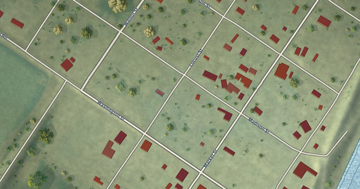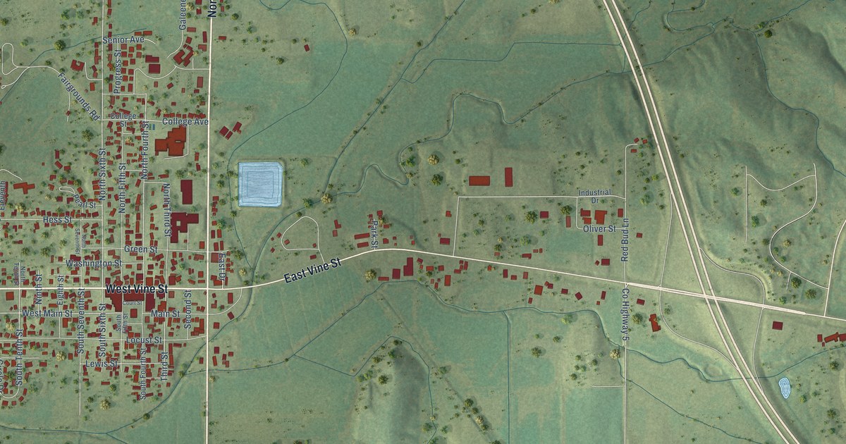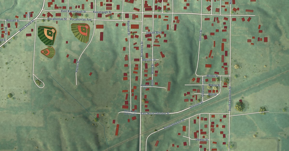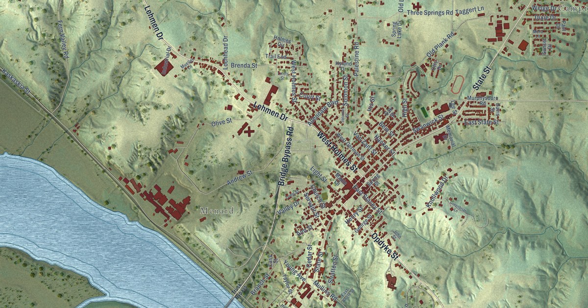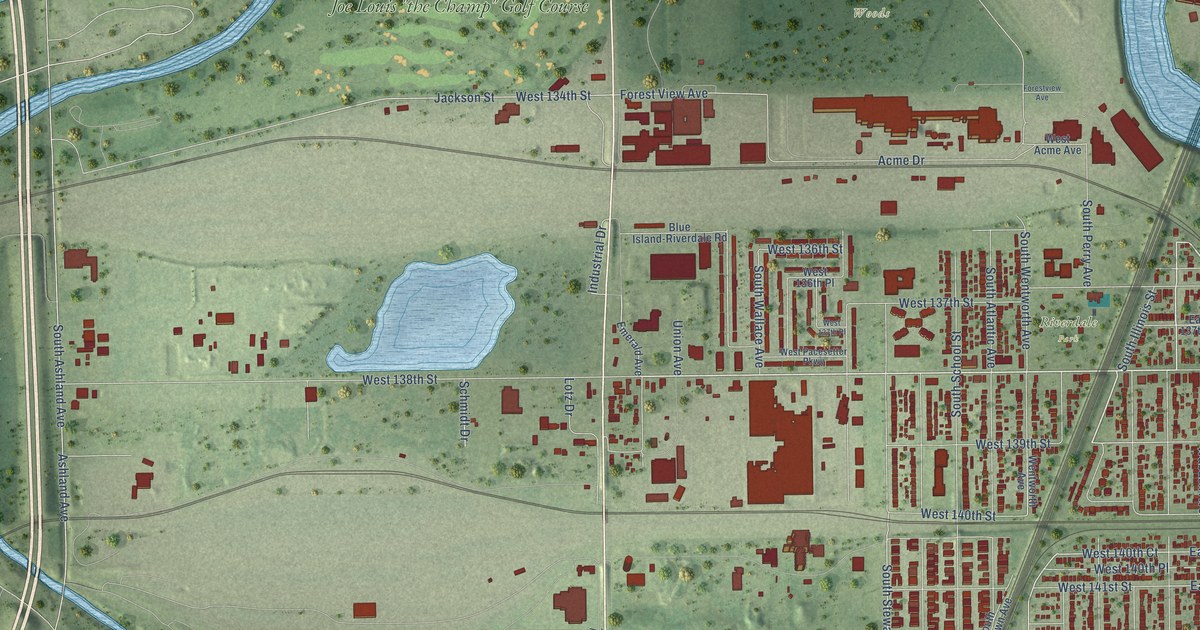
This beautifully detailed map of Riverdale, Illinois was created in 2026 using aerial imagery combined with modern topographical, census, street and landmark data. It’s a one-of-a-kind view of Riverdale that combines accurate data with a vintage aesthetic. The map shows every building in its true location, many of the roads carry their names, and the shaded topographic relief shows the shape of the land.
Explore an aerial view of Riverdale, Illinois
On the map you’ll find Riverdale Village Hall, Calumet Woods, Kickapoo Woods, Riverdale Park, Whistler Woods, Franson Park, and Joe Louis “the Champ” Golf Course, along with South Halsted Street, West 138th Street, South State Street, West 142nd Street, South Illinois Street, and more. If you look closely you can even find your house accurately drawn in its correct location. Zoom in on the preview to look for yours.
Did you know this piece of Riverdale, Illinois history?
The Union Copper Distilling Company of Chicago founded the Riverdale Distillery in 1871 to make fermentum yeast. A county history counted it among the village’s principal businesses, and its riverside land later became the site of Riverdale’s sugar factory.
Take a closer look at the Riverdale map
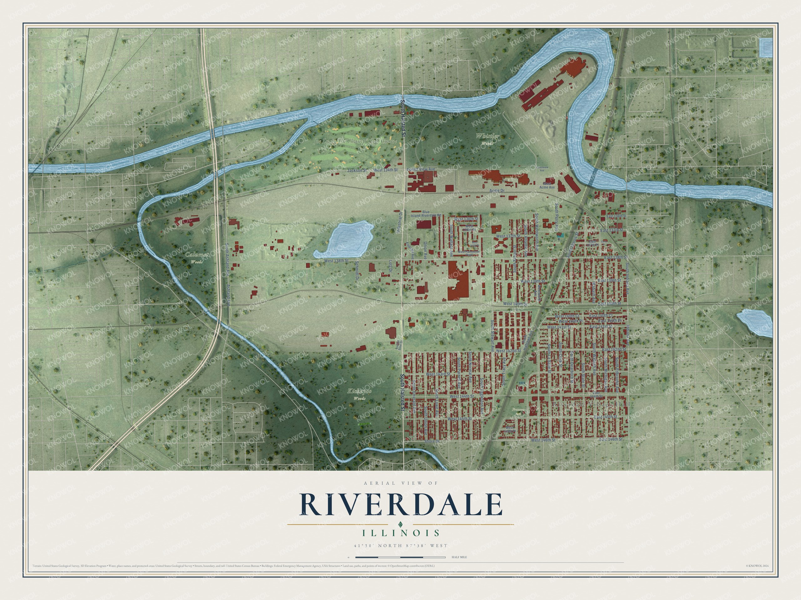
Street and place names on the Riverdale, Illinois map
These names are printed on the map of Riverdale, Illinois.
Places: Riverdale Village Hall, Calumet Woods, Kickapoo Woods, Riverdale Park, Whistler Woods, Franson Park and Joe Louis "the Champ" Golf Course.
Streets and roads: South Halsted Street, West 138th Street, South State Street, West 142nd Street, South Illinois Street, East 142nd Street, South Wentworth Avenue, Wabash Avenue, South Stewart Avenue, Shore Drive, West 146th Street, West 140th Court.
More street names, A to Z
137th Place, Acme Drive, Ashland Avenue, Blue Island-Riverdale Road, East 136th Street, East 137th Place, East 137th Street, East 138th Street, East 139th Street, East 140th Court, East 140th Place, East 140th Street, East 141st Street, East 144th Street, East 145th Street, East 146th Street, Emerald Avenue, Forest View Avenue, Forestview Avenue, Indiana Avenue, Industrial Drive, Jackson Street, Loeffel Steel Drive, Lotz Drive, Schmidt Drive, South Ashland Avenue, South Atlantic Avenue, South Clark Street, South Dearborn Street, South Edbrooke Avenue, South Eggleston Avenue, South Emerald Avenue, South Highlawn Avenue, South Indiana Avenue, South La Salle Street, South Lowe Avenue, South Michigan Avenue, South Normal Avenue, South Parnell Avenue, South Perry Avenue, South School Street, South Tracy Avenue, South Union Avenue, South Wabash Avenue, South Wallace Avenue, Union Avenue, Wentworth Avenue, West 134th Street, West 136th Place, West 136th Street, West 137th Place, West 137th Street, West 139th Street, West 140th Place, West 140th Street, West 141st Street, West 143rd Street, West 144th Street, West 145th Place, West 145th Street, West Acme Avenue, West Pacesetter Parkway.
See the Riverdale, Illinois map on a wall
The Riverdale map as an 18 x 24 inch print in a black frame.

This beautifully detailed map of Riverdale makes an attractive addition to your office, library, or den, and it can even be used to teach children the geography and history of the area. It also makes a great gift for someone who left Riverdale and still calls it home. When you’re done exploring, click here to get your copy of the Riverdale map.