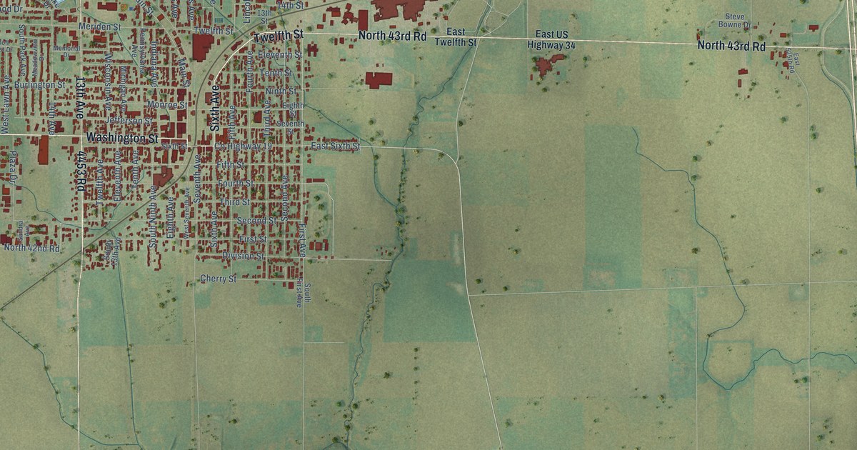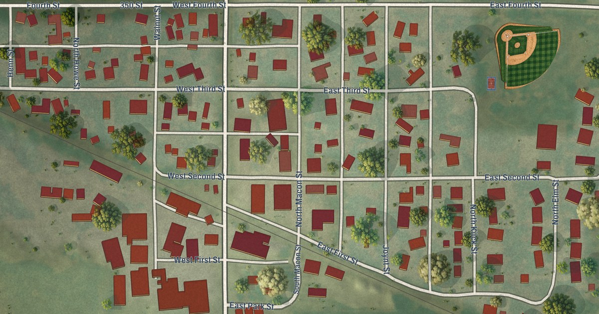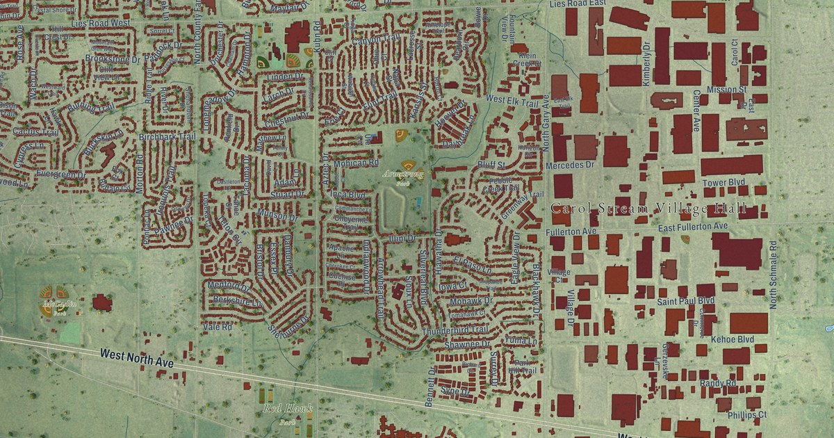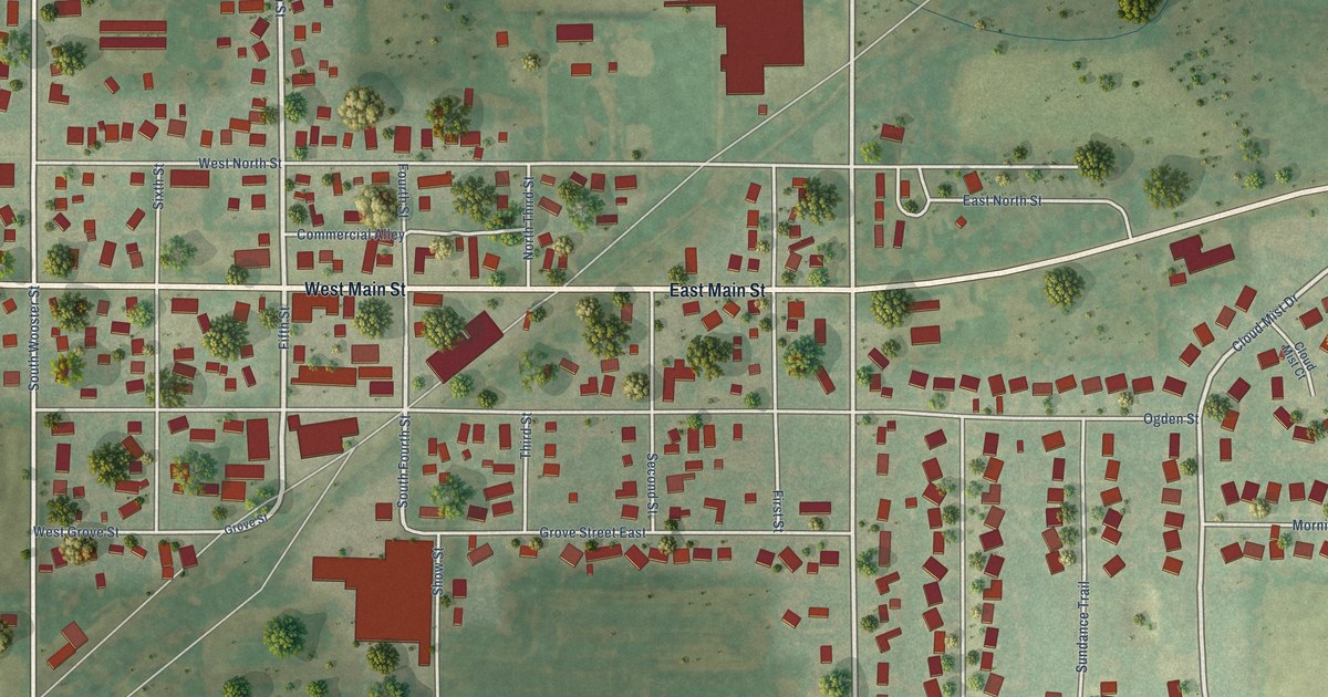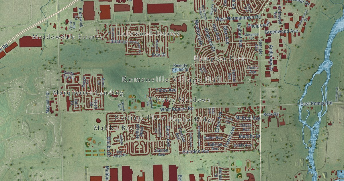
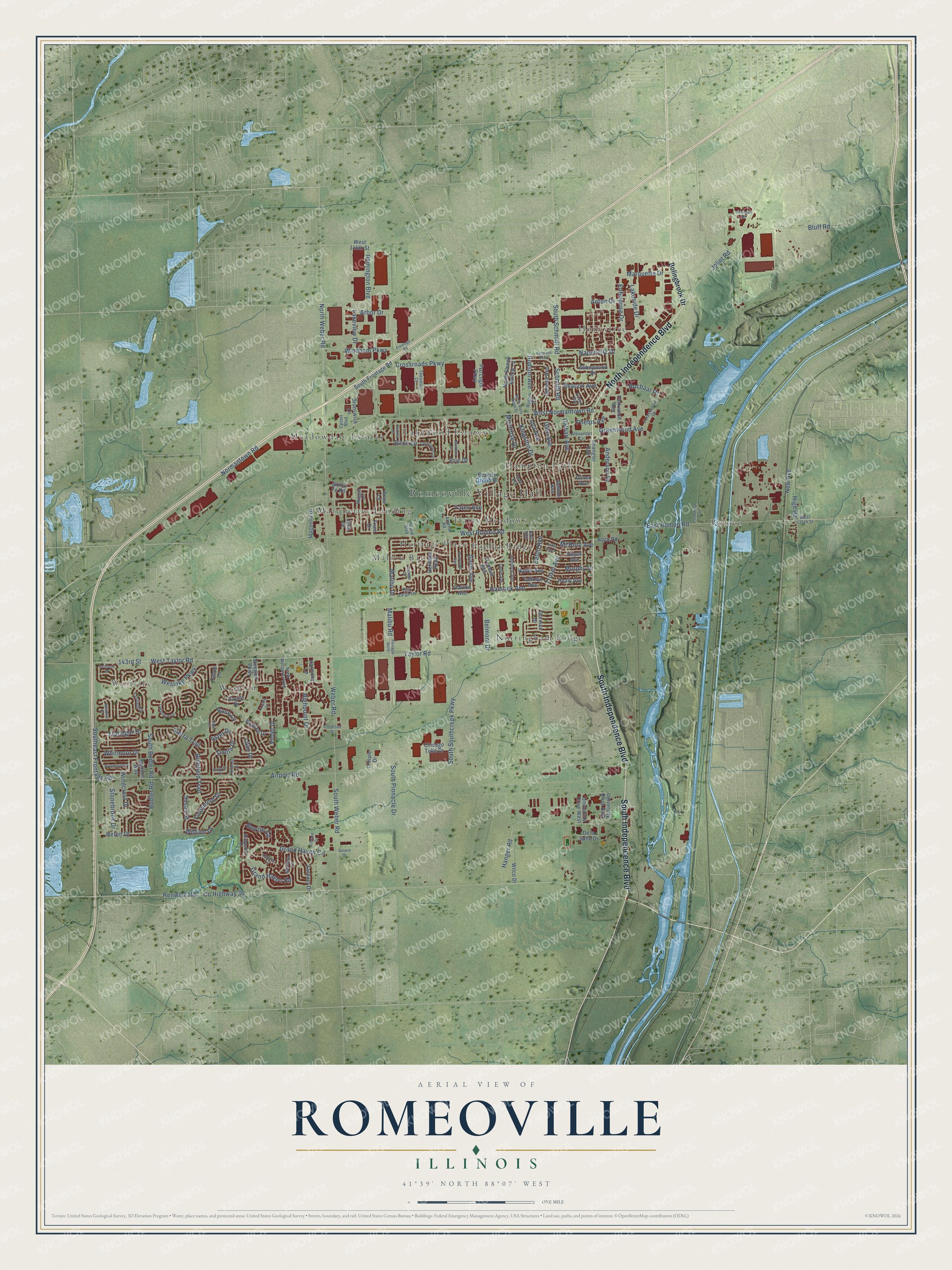
This beautifully detailed map of Romeoville, Illinois was created in 2026 using aerial imagery combined with modern topographical, census, street and landmark data. It’s a one-of-a-kind view of Romeoville that combines accurate data with a vintage aesthetic. The map shows every building in its true location, many of the roads carry their names, and the shaded topographic relief shows the shape of the land.
Explore an aerial view of Romeoville, Illinois
On the map you’ll find Romeoville Village Hall, Westlake, Haley Meadows, Hampton Park, Heritage Place, Honeytree, Lakewood Estates, Malibu Bay, Marquettes Landing, Meadowdale Estates, Nottingham Ridge, Poplar Ridge, and more. If you look closely you can even find your house accurately drawn in its correct location. Zoom in on the preview to look for yours.
Did you know this piece of Romeoville, Illinois history?
From the Town Square Publications: "Romeo incorporated into a village in 1895 and was later renamed Romeoville."
Take a closer look at the Romeoville map
Street and place names on the Romeoville, Illinois map
These names are printed on the map of Romeoville, Illinois.
Places: Romeoville Village Hall, Westlake, Haley Meadows, Hampton Park, Heritage Place, Honeytree, Lakewood Estates, Malibu Bay, Marquettes Landing, Meadowdale Estates, Nottingham Ridge, Poplar Ridge, Romeo and Wesglen.
Streets and roads: North Independence Boulevard, South Indepencence Boulevard, South Independence Boulevard, Taylor Road, 143rd Street, West Taylor Road, Joliet Road, South Schmidt Road, Southeast Frontage Road, Windham Parkway, South Weber Road, Renwick Road.
More street names, A to Z
Abbeywood Drive, Airport Road, Alexander Circle, Amaryllis Drive, Anderson Drive, Anna Lane, Anton Drive, Arbor Drive, Arsenal Road, Aster Drive, Azalea Circle, Baytree Drive, Beacon Avenue, Belmont Drive, Benzie Circle, Berkley Drive, Beverly Griffin Drive, Birch Lane, Bluff Road, Bodega Drive, Bolingbrook Drive, Briarwood Avenue, Bridgeman Lane, Brunswick Lane, Budler Road, Cadillac Circle, Centennial Trail, Center Boulevard, Chicago Tube Drive, Coneflower Drive, County Highway 36, Creekside Drive, Crossroads Parkway, Daffodil Drive, Dalhart Avenue, Daylily Drive, De la Salle Drive, Dover Avenue, East Romeo Road, Eaton Avenue, Edward Drive, Enterprise Drive, Erie Drive, Essex Avenue, Fairfield Drive, Fenton Avenue, Fiddyment Drive, Forestwood Drive, Fremont Avenue, Frieh Drive, Frontage Road, Gaskin Drive, Gavin Avenue, Geneva Avenue, Glen Avenue, Gorman Drive, Grand Boulevard, Grand Haven Circle, Grand Haven Road, Greenwood Avenue, Hale Avenue, Haller Avenue, Hamrick Avenue, Hanger Road, Harmony Lane, Hayes Avenue, Healy Avenue, Helen Drive, Hemlock Avenue, Heritage Parkway, Highpoint Drive, High Road, Hudson Avenue, Iola Avenue, Julia Drive, Karen Avenue, Kentland Drive, Key Largo Drive, Kingston Drive, Lakeshore Drive, Lakeside Drive, Lakeview Drive, Laurel Avenue, Lilac Drive, Linden Avenue, Maggie Lane, Magnolia Drive, Malibu Drive, Malibu Road, Marquette Drive, McKool Avenue, Mecosta Lane, Mendota Lane, Montrose Drive, Murphy Drive, Naperville Drive, New Avenue, Normantown Road, North Misty Ridge Drive, North Sleepy Hollow Lane, North Weber Road, North Wespark Parkway, O'Hare Drive, Oakton Avenue, Parkwood Avenue, Phelps Avenue, Pinnacle North, Pro Logis Parkway, Remington Boulevard, Richfield Trail, Rocbaar Drive, Rock Road, Rogers Road, Rose Circle, Rose Lane, Santa Fe Road, Schmidt Road, Sherman Road, Sierra Trail, South Budler Road, South Frontage Road, South Pinnacle Drive, South Southcreek Parkway, Spangler Avenue, Stonebrook Drive, Susan Street, Tahoe Lane, Tallman Avenue, Theodore Court, Trafalgar Drive, Troxel Avenue, University Drive East, University Drive West, Veterans Parkway, Violet Drive, Wallace Way, Weber Road, Wesglen Parkway, Weslake Parkway, West 115th Street, West 135th Street, West Normantown Road, West Romeo Road, Whitehill Drive, Whitmore Drive, Wilco Drive, William Drive, Winchester Drive, Windcrest Drive, Yates Avenue, Zachary Drive, Zinnia Drive.
See the Romeoville, Illinois map on a wall
The Romeoville map as an 18 x 24 inch print in a black frame.

This beautifully detailed map of Romeoville makes an attractive addition to your office, library, or den, and it can even be used to teach children the geography and history of the area. It also makes a great gift for anyone with Romeoville roots. When you’re done exploring, click here to get your copy of the Romeoville map.