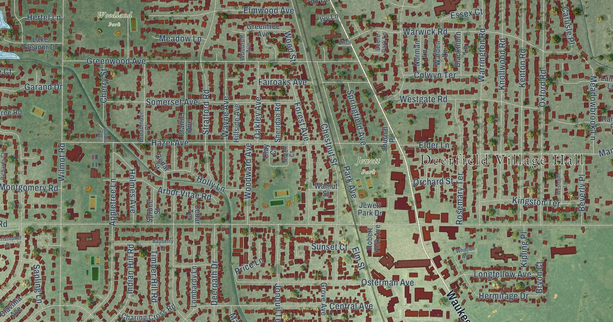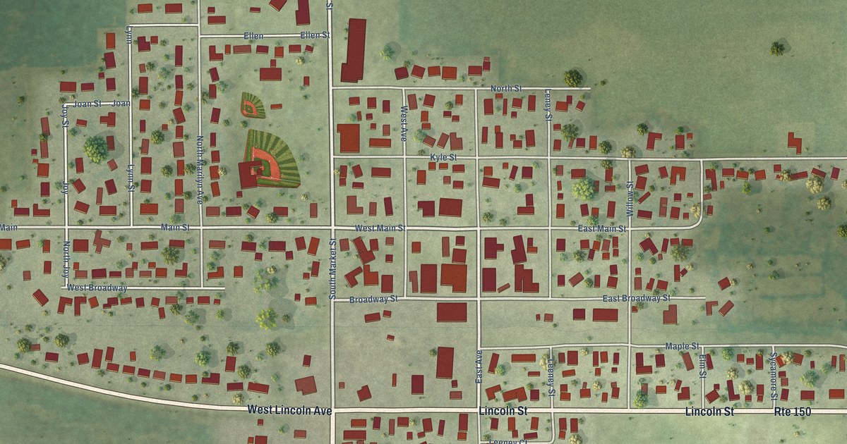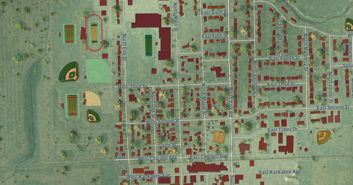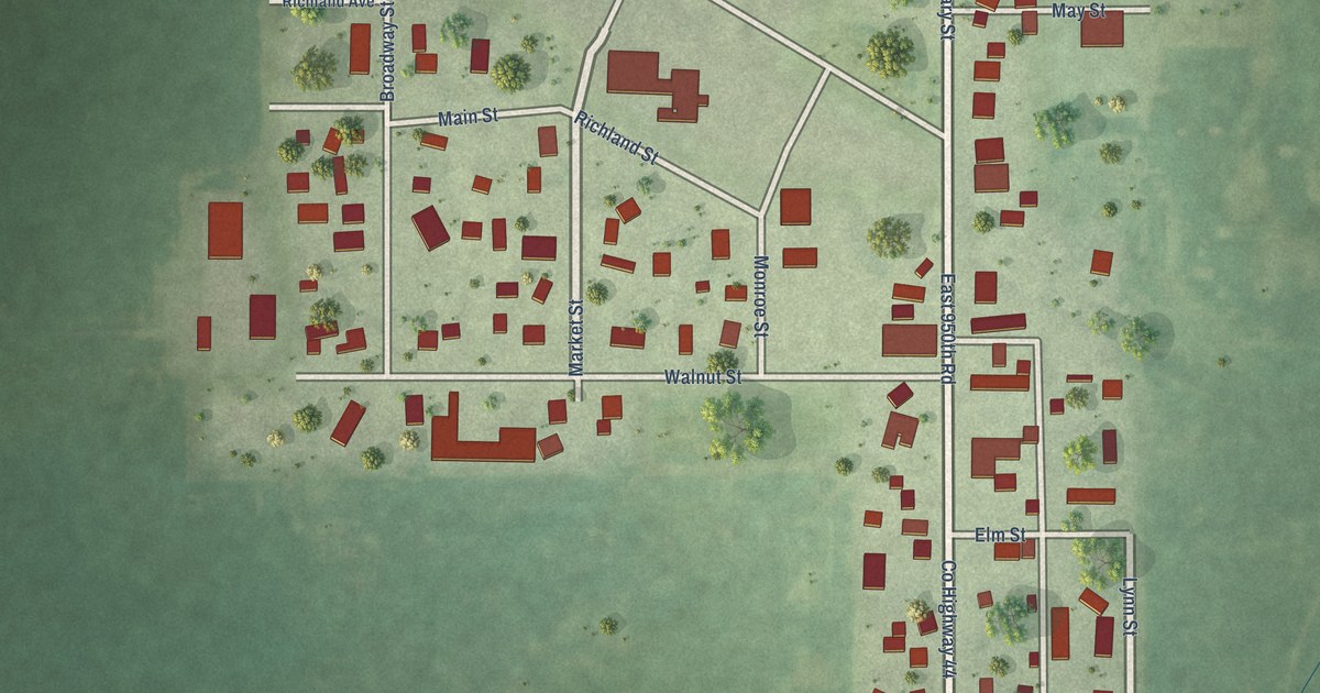
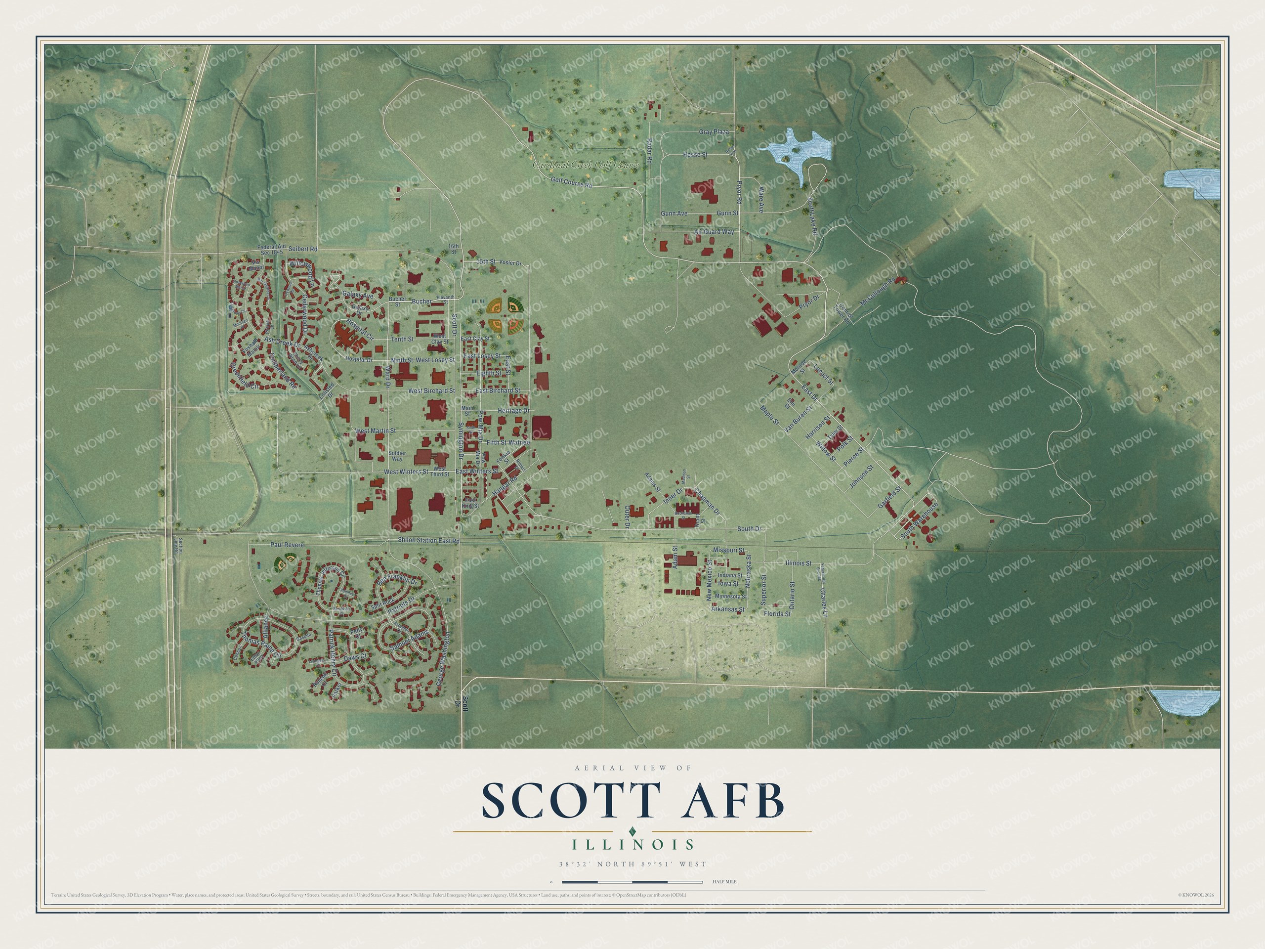
This beautifully detailed map of Scott AFB, Illinois was created in 2026 using aerial imagery combined with modern topographical, census, street and landmark data. It's a modern aerial view of Scott AFB in St. Clair County, Illinois, that combines modern data with a vintage aesthetic. The roads feature printed names, and if you look closely you can find your exact house accurately shown in its correct location.
Explore an aerial view of Scott AFB, Illinois
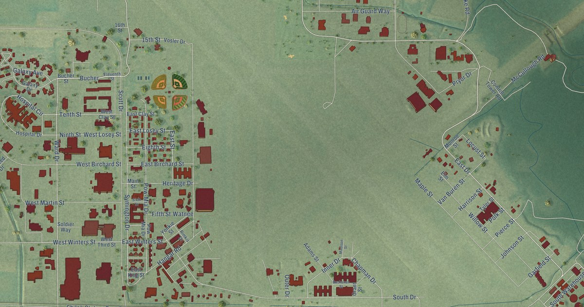
On this map you'll find Cardinal Creek Golf Course, Golf Course Road, East Drive, Bucher, South Warehouse, Ward Drive, Pryor Road, South Drive, West Winters Street, Hangar Road, Symington Drive, Pow-Mia Drive, and more. Each red shape is a building, so zoom in on the preview and look for yours.
Scott AFB is a community in St. Clair County. The Census Bureau counted 3,688 people here in 2020. Scott AFB sits about 3 miles northwest of Mascoutah, 3 miles east of Shiloh and 4 miles north of Rentchler. The map prints the town name in its title panel, with the coordinates below it.
Take a closer look at the Scott AFB map
Names on this map
These names are printed on this map.
Places: Cardinal Creek Golf Course.
Streets and roads: Golf Course Road, East Drive, Bucher, South Warehouse, Ward Drive, Pryor Road, South Drive, West Winters Street, Hangar Road, Symington Drive, Pow-Mia Drive, Garfield Street.
More street names, A to Z
15th Street, 16th Street, Adams Street, Adam Street, Air Guard Way, Alliance, Arkansas Street, Artemus Drive, Ash Creek Drive, Ashcreek Drive, Ben Franklin Drive, Buchanan Street, Bucher Street, Cannon, Cedarwood Drive, Chapman Drive, Charles Lane, Cherry Wood Lane, Control Tower Road, Cumberland Road, Daws Court, East Birchard Street, East Clay Street, East King Street, East Losey Street, East Street, East Winters Street, Eighth Street, Eleventh Street, Elm Street, Enlisted Drive, Ethan Allen, Federal-Aid Sec 846, Federal-Aid Sec 1845, Fifth Street, Firtree Lane, Florida Street, Foxhall Manor, Galaxy Avenue, Galaxy Drive, Gaspee, George Washington, Grant Street, Gray Plaza, Greenfield Circle, Gunn Avenue, Gunn Street, Harrison Street, Heritage Drive, Hesse Avenue, Hesse Street, Hospital Circle, Hospital Drive, Illinois Street, Indiana Street, Inner Drive, Iowa Street, Ivywood Terrace, Johnson Street, Livingston Court, Locust Street, Madison Street, Main Street, Maple Street, McCullough Road, Minnesota Street, Missouri Street, Monroe Street, Montego Place, Morningside Circle, Nebraska Street, New Mexico Street, Ninth Street, Oakgrove Circle, Ontario Street, Outer Drive, Parker, Patrick Henry Circle, Patriots Drive, Paul Revere, Petty Court, Pierce Street, Polk Street, Pow Mia Drive, Pryor Drive, Pulaski Court, Radar Road, Rimkis Drive, Romney Court, Roselawn Manor, Samuel Adams, Sandusky Court, Scott Drive, Scott Lake Road, Section Line Road, Seibert Road, Shiloh Station East Road, Sixth Street, Soldier Way, Split Rock, Superior Street, Tenth Street, Thomas Jefferson Circle, Thomas Paine Circle, Tyler Street, Van Buren Street, Vis Manor, Vosler Drive, Ware Avenue, Watnee, West Birchard Street, West Clay Street, West Losey Street, West Martin Street, West Third Street, Willow Street, Willowwood Lane, Yonkie Street.
See it on a wall
The Scott AFB map as a framed print. Swipe for more.


Created by KNOWOL in 2026. The buildings are small red shapes, the roads carry their printed names, and shaded relief shows the shape of the land. The title panel reads "AERIAL VIEW OF SCOTT AFB, ILLINOIS" with 38°32' NORTH 89°51' WEST.
It looks right in a kitchen, an office or a den, and it's a gift for anyone who grew up in Scott AFB or moved away. Open the preview and find your street. See sizes and frames for the Scott AFB map.