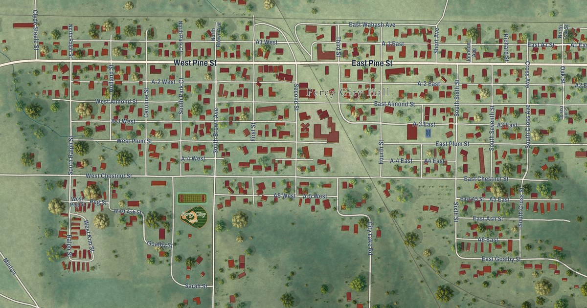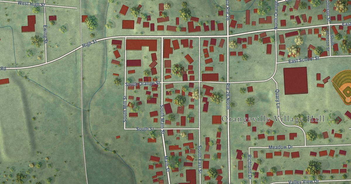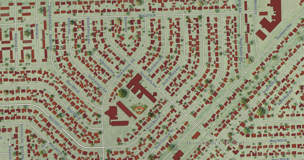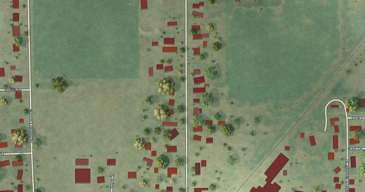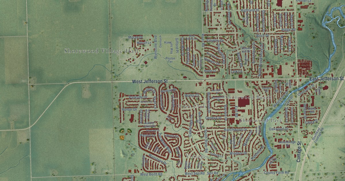
This beautifully detailed map of Shorewood, Illinois was created in 2026 using aerial imagery combined with modern topographical, census, street and landmark data. It’s a one-of-a-kind view of Shorewood that combines accurate data with a vintage aesthetic. The map shows every building in its true location, many of the roads carry their names, and the shaded topographic relief shows the shape of the land.
Explore an aerial view of Shorewood, Illinois
On the map you’ll find Shorewood Village Hall, Deer Run Estates, Hunt Club, River Oaks West, Shorewood Beach, Shorewood Park, and Vintage, along with West Jefferson Street, East Jefferson Street, Brook Forest Avenue, Cottage Street, Palomino Drive, and more. If you look closely you can even find your house accurately drawn in its correct location. Zoom in on the preview to look for yours.
Did you know this piece of Shorewood, Illinois history?
From Shaw Local: "Although many residents have always known the name of their village as Shorewood, those with family that helped settle the area may remember it was once called Troy. Families with a long-standing history in the community might recall an area called Grinton."
Take a closer look at the Shorewood map
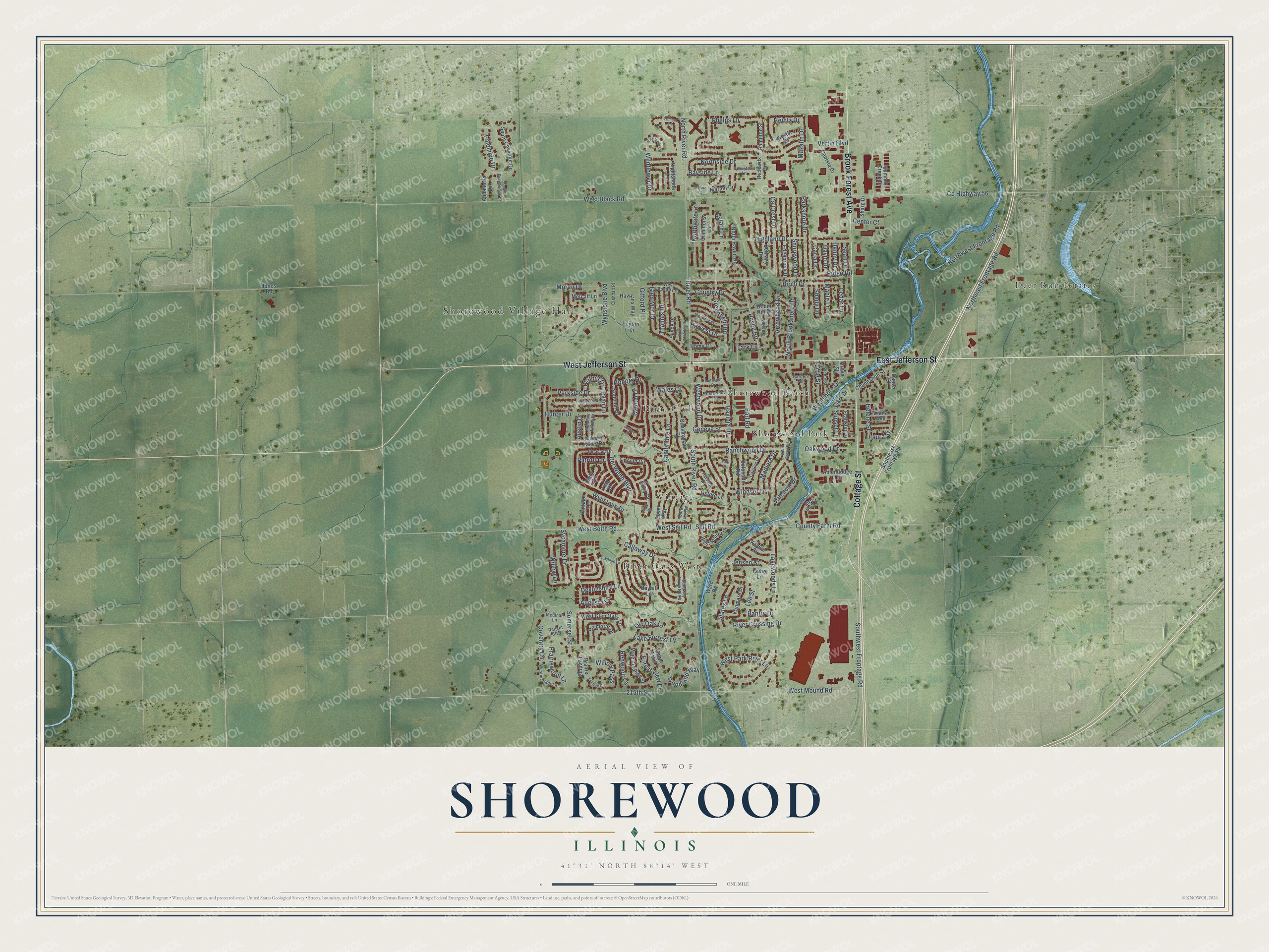
Street and place names on the Shorewood, Illinois map
These names are printed on the map of Shorewood, Illinois.
Places: Shorewood Village Hall, Deer Run Estates, Hunt Club, River Oaks West, Shorewood Beach, Shorewood Park and Vintage.
Streets and roads: West Jefferson Street, East Jefferson Street, Brook Forest Avenue, Cottage Street, Palomino Drive, Herath Lane, North River Road, Phelps Lane, River Road, Laura Street, Lee Street, West Black Road.
More street names, A to Z
215th Street, Amendodge Drive, Appaloosa Lane, Arrowhead Drive, Auburn Lakes Drive, Augusta Lane, Austin Drive, Balmoral Drive, Bantry Drive, Bayhill Lane, Bayside Lane, Baytree Circle, Bethany Drive, Birch Drive, Buckingham Place, Ca Crest Drive, Callaway Drive, Callaway Drive North, Cambridge Lane, Capista Drive, Capital Drive, Caprice Drive, Cardinal Place, Carla Drive, Cedar Lane, Center Court, Channahon Street, Clark Drive, Clennan Place, Colonade Road, Commons Drive, Country Drive, County Farm Road, County Highway 56, Coventry Circle, Crystal Drive, Danny Drive, Dante Court, David Drive, Del Webb Boulevard, Devonshire Lane, Diana Avenue, Dover Way, Earl Road, Edgebrook Drive, Farmstead Lane, Fieldstone Lane, Flag Drive, Forest View Drive, Franklin Lane, Garden Terrace, Geneva Street, Gifford Place, Glen Mor Drive, Glory Court, Glory Drive, Greenfield Road, Grove Street, Hamilton Street, Harvard Court, Harvest Drive, Hawkins Way, Heintz Drive, Helene Street, Highland Drive, Home Court, Honors Drive, Hunter Drive, Huntington Drive, Isabel Lane, Jensen Street, Jones Road, Justice Court, Kaylee Street, Kenmare Drive, Lake Forrest Lane, Lakewoods Lane, Lark Lane, Lincoln Circle, Madiera Drive, Majestic Pine Street, Maple Lane, Marion Court, Marion Drive, Mazalin Drive, Meadow Lakes Drive, Medinah Lane, Metcalf Lane, Moorland Avenue, Moran Drive, National Drive, Nightshade Lane, North Brookshore Drive, Northeast Frontage Road, Northgate Lane, North Raven Road, Northside Drive, Northwest Frontage Road, Oakwood Drive, Olde Ivey Road, Old Oak Lane, Oxford Lane, Parkshore Drive, Parkside Drive, Patriot Lane, Peyton Terrace, Picnic Street, Pleasant Drive, Prairie Landing, Prairiewood Lane, Ranchwood Drive, Raven Road, Ravinia Drive, Redwood Lane, Regent Boulevard, Richards Drive, Ridge Road, River Bluff Drive, River Crossing Drive, Robin Hill Drive, Rosewood Street, Ryan Lane, Savoy Drive, Sean Drive, Seil Road, Shady Lane, Sharp Drive, Shorewood Drive, Somerset Street, South Chestnut Drive, Southeast Frontage Road, South Raven Road, South River Road, South Saddlebrook Drive, South Turnbridge Drive, Southwest Frontage Road, States Lane, Summit Creek Drive, Sunset Lane, Sycamore Drive, Thames Drive, Timber Trail, Trillium Lane, Turtle Street, Unity Court, Valencia Drive, Vantage Drive, Vertin Boulevard, Wales Court, Walnut Drive, Ward Road, West Beith Road, West Country Drive, West Glen Oaks Lane, West Manor Drive, Westminster Lane, West Mound Road, West Park River Lane, West Seil Road, Westshore Drive, Westwood Drive, Wildflower Circle, Wildflower Drive, Willow Lane, Willow Pass, Windsor Drive, Wintercrest Lane, Woodland Way, Wynstone Boulevard, Wynstone Drive, Yale Court.
See the Shorewood, Illinois map on a wall
The Shorewood map as an 18 x 24 inch print in a black frame.

This beautifully detailed map of Shorewood makes an attractive addition to your office, library, or den, and it can even be used to teach children the geography and history of the area. It also makes a great gift for anyone with Shorewood roots. When you’re done exploring, click here to get your copy of the Shorewood map.