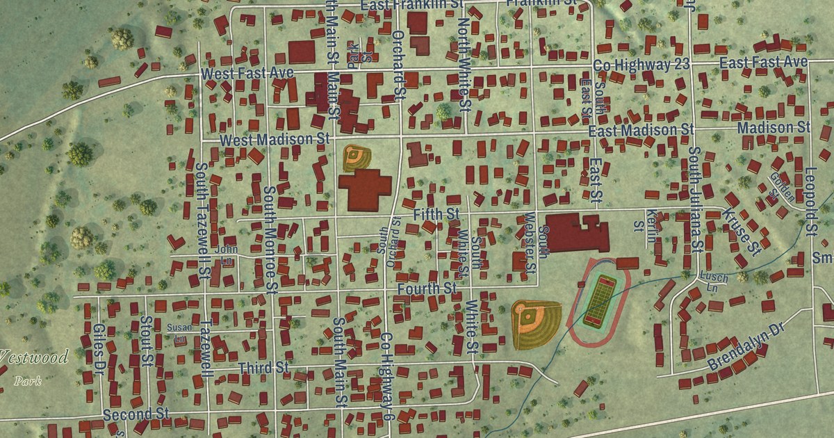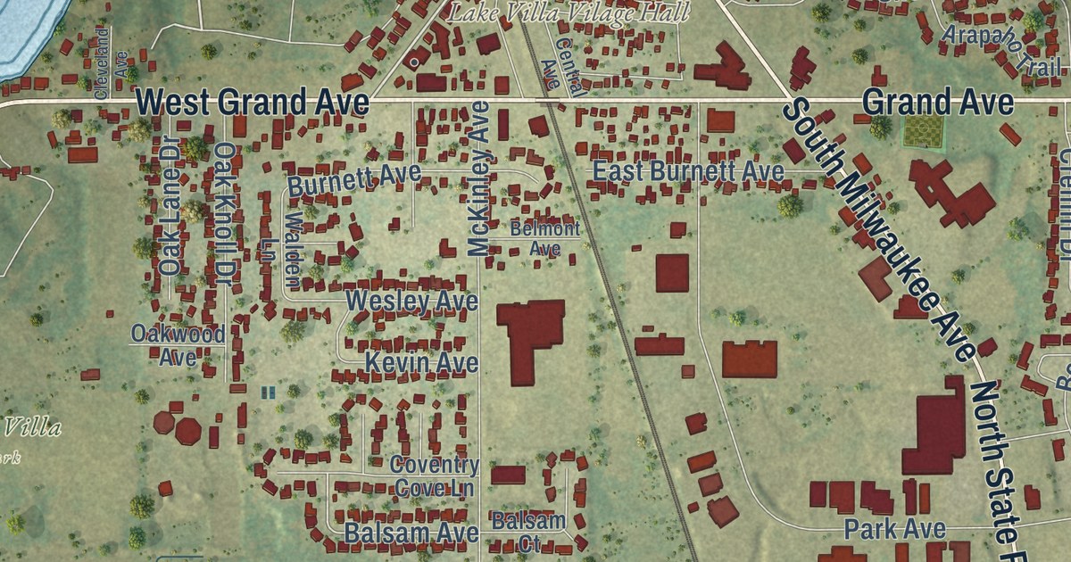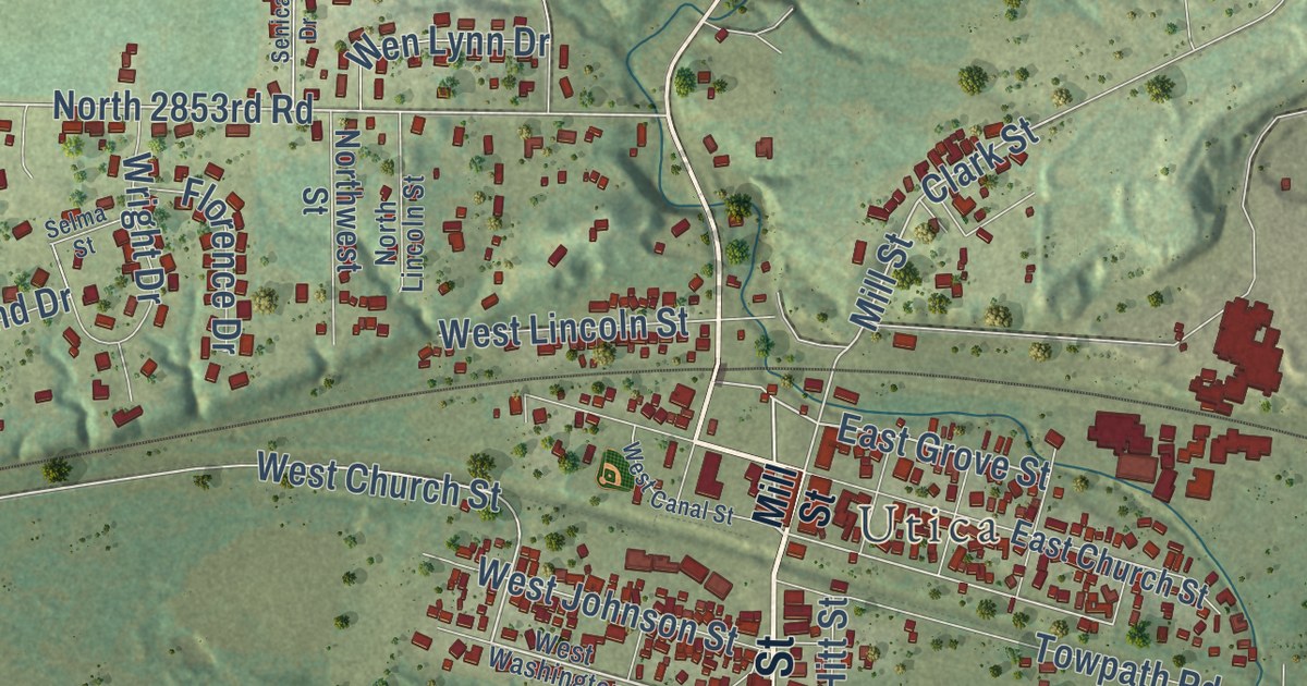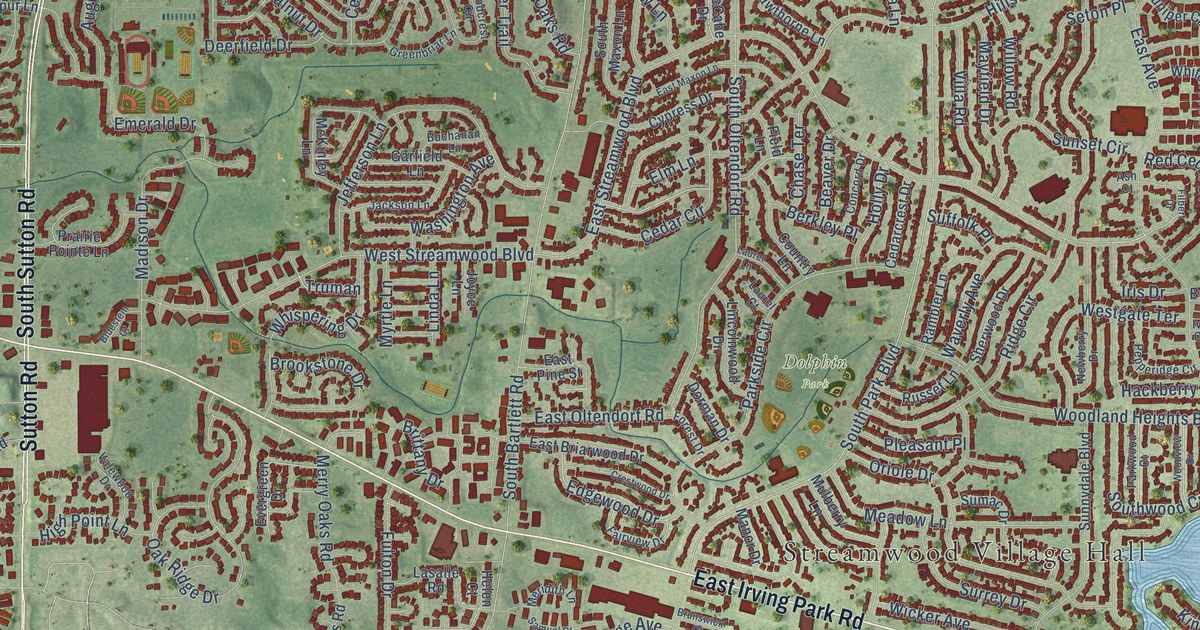
This beautifully detailed map of Streamwood, Illinois was created in 2026 using aerial imagery combined with modern topographical, census, street and landmark data. It’s a one-of-a-kind view of Streamwood that combines accurate data with a vintage aesthetic. The map shows every building in its true location, many of the roads carry their names, and the shaded topographic relief shows the shape of the land.
Explore an aerial view of Streamwood, Illinois
On the map you’ll find Streamwood Village Hall, Dolphin Park, and Poplar Creek Forest Preserve, along with West Irving Park Road, East Irving Park Road, East Lake Street, West Lake Street, Sutton Road, Irving Park Road, South Sutton Road, Ascot Lane, East Schaumburg Road, and more. If you look closely you can even find your house accurately drawn in its correct location. Zoom in on the preview to look for yours.
Did you know this piece of Streamwood, Illinois history?
From the Cook County Hazard Mitigation Plan: "A post-war community, Streamwood grew as returning veterans purchased homes in the Chicago suburbs."
Take a closer look at the Streamwood map
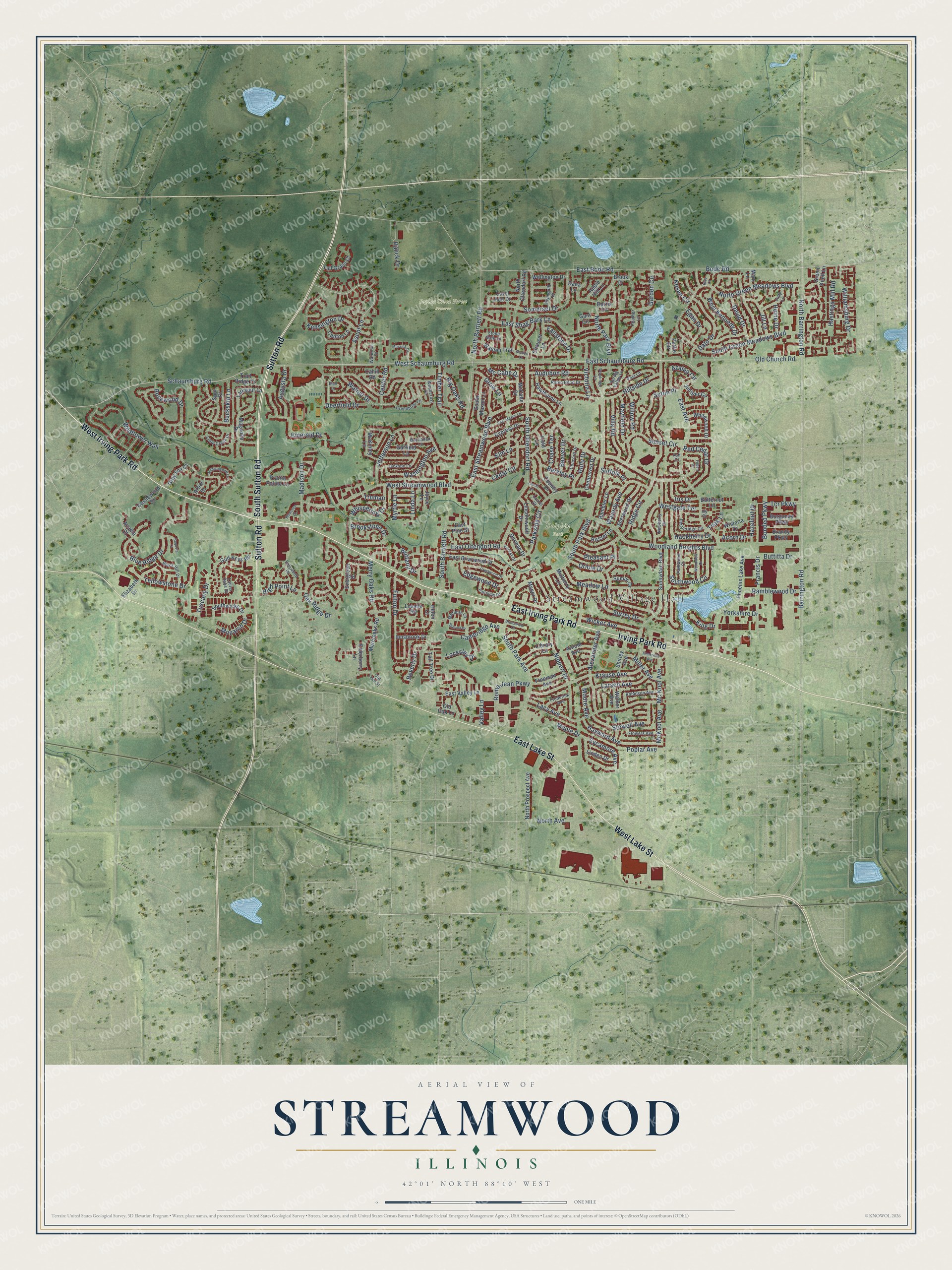
Street and place names on the Streamwood, Illinois map
These names are printed on the map of Streamwood, Illinois.
Places: Streamwood Village Hall, Dolphin Park and Poplar Creek Forest Preserve.
Streets and roads: West Irving Park Road, East Irving Park Road, East Lake Street, West Lake Street, Sutton Road, Irving Park Road, South Sutton Road, Ascot Lane, East Schaumburg Road, West Schaumburg Road, Schaumburg Road, South Park Boulevard.
More street names, A to Z
Acadia Court, Acorn Drive, Alexander Avenue, Apple Hill Lane, Arbor Drive, Arnold Avenue, Ash Court, Audubon Road, Augusta Drive, Azalea Circle, Barrington Road, Beaver Drive, Berkley Place, Beverly Drive, Big Oaks Road, Black Hill Drive, Blue Ridge Drive, Bluestem Court, Bluff Court, Bode Road, Bonded Parkway, Borris Circle, Brandy Parkway, Brittany Drive, Brook Drive, Brookstone Drive, Brunswick Court, Buchanan Lane, Buckskin Lane, Burgundy Parkway, Butternut Lane, Buttitta Drive, Cahill Road, Cambridge Avenue, Canton Lane, Carol Ann Drive, Castlewood Drive, Cedar Circle, Cedarcrest Drive, Center Road, Chase Terrace, Chaucer Lane, Concord Drive, Country Lane, Crestwood Drive, Cypress Drive, Dana Lane, Dato Drive, David Drive, Deerfield Drive, Dorman Drive, East Avenue, East Bode Road, East Briarwood Drive, East Maxon Lane, East Oltendorf Road, East Pine Street, East Shag Bark Lane, East Streamwood Boulevard, East Valley Lane, Edgewood Drive, Egan Drive, Elderberry Lane, Elizabeth Drive, Elm Lane, Emerald Drive, Evergreen Drive, Fairview Drive, Fallstone Drive, Field Lane, Filbert Drive, Flowers Avenue, Forest Drive, Francis Drive, Frederick Avenue, Freeman Avenue, Fulton Drive, Gant Circle, Garden Circle, Garfield Lane, Greenbriar Lane, Green Knoll Lane, Grey Fox Court, Grow Lane, Gulf Keys Road, Hackberry Drive, Halick Drive, Hastings Mill Road, Hawthorne Lane, Hayward Avenue, Hazelnut Drive, Heather Lane, Heine Drive, Helen Court, High Point Lane, Hillside Drive, Hise Court, Holly Drive, Hummingbird Lane, Innsbrook Drive, Iris Drive, Ivy Court, Jackson Lane, Jefferson Lane, Jill Lane, Joyce Lane, Judy Lane, Juniper Circle, Kensington Drive, King Drive, Kosan Circle, Krause Avenue, Lacy Avenue, Larkspur Lane, Larsen Avenue, Lasalle Road, Laurel Court, Laurel Lane, Laurel Oaks Drive, Library Lane, Lincolnwood Drive, Linda Lane, Linden Drive, Little Creek Drive, Locksley Drive, Madison Drive, Magnolia Drive, Manor Drive, Maple Drive, Marion Lane, Mark Lane, Mayfield Drive, Mc Cabe Drive, McCabe Drive, McKinley Lane, Mc Kool Avenue, McKool Avenue, Meadow Lane, Meridith Lane, Merry Oaks Road, Merryoaks Road, Miller Avenue, Monarch Drive, Moore Avenue, Moraine Drive, Mulberry Lane, Myrtle Lane, Newberry Drive, Nippert Drive, North Avenue, North Barrington Road, North Bartlett Road, North Green Meadows Boulevard, North Oltendorf Road, North Park Boulevard, North Prospect Avenue, Oak Ridge Drive, Old Church Road, Old Lake Street, Old Oak Lane, Oriole Drive, Parkside Circle, Parkwood Court, Pepperidge Circle, Petrie Circle, Phoenix Lake Avenue, Pleasant Place, Plymouth Drive, Poplar Avenue, Post Lane, Prairie Pointe Lane, Rambler Lane, Ramblewood Drive, Red Cedar Drive, Ridge Circle, Robin Hood Drive, Robinson Avenue, Roma Jean Parkway, Rosewood Drive, Russet Lane, Samuel Drive, Sequoia Court, Seton Place, Sherwood Drive, Shirley Avenue, Somerset Drive, South Bartlett Road, South Green Meadows Boulevard, South Maxon Lane, South Oltendorf Road, South Park Avenue, Southwicke Drive, Southwood Circle, Spring Valley Lane, Spur Court, Stone Gate Lane, Stowell Avenue, Suffolk Place, Sumac Drive, Sunnydale Boulevard, Sunset Circle, Surrey Drive, Sycamore Avenue, Tall Grass Court, Tall Tree Drive, Tcr Parkway, Teak Lane, Timber Trail, Tinnerella Avenue, Trail Ridge Court, Truman, Tuscany Drive, Valewood Drive, Valley Lane, Victoria Lane, Villa Road, Walden Trail, Walker Avenue, Walnut Drive, Washington Avenue, Waterton Drive, Waverly Avenue, Wellington Drive, Westgate Terrace, West Kennedy Drive, West Streamwood Boulevard, Whispering Drive, Whitewood Drive, Wicker Avenue, Wildflower Way, Williamsburg Drive, Willow Road, Wisteria Drive, Woodcrest Circle, Woodland Heights Boulevard, Woodridge Lane, Woodview Drive, Yellowstone Drive, Yorkshire Drive.
See the Streamwood, Illinois map on a wall
The Streamwood map as an 18 x 24 inch print in a black frame.

This beautifully detailed map of Streamwood makes an attractive addition to your office, library, or den, and it can even be used to teach children the geography and history of the area. It also makes a great gift for anyone who grew up in Streamwood or moved away. When you’re done exploring, click here to get your copy of the Streamwood map.