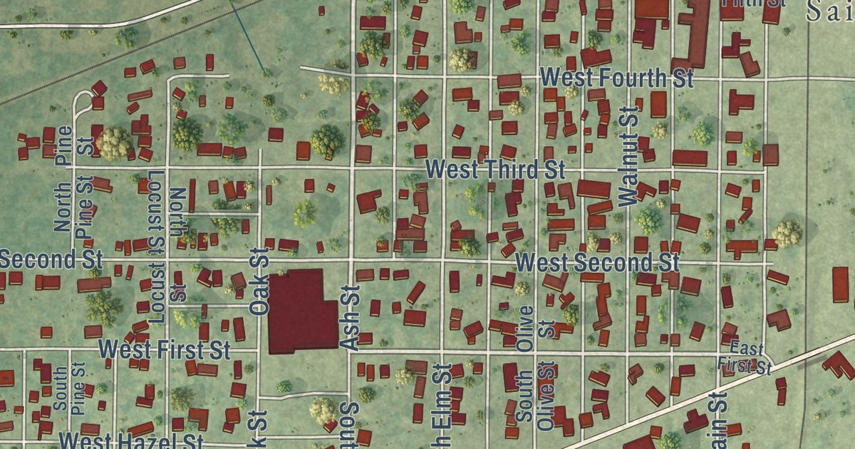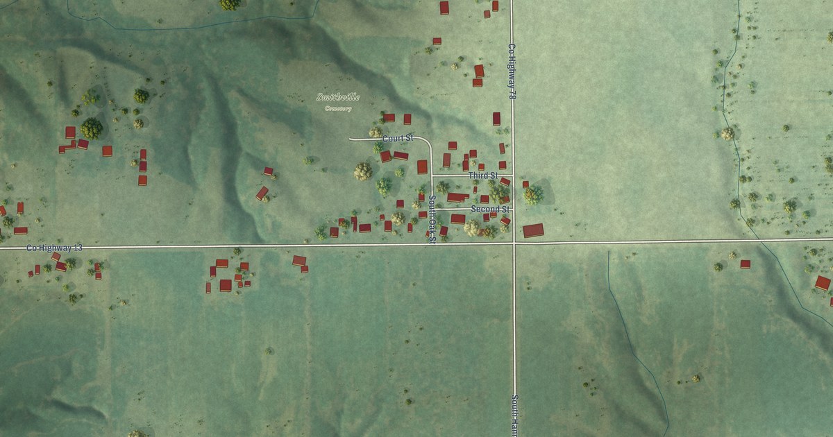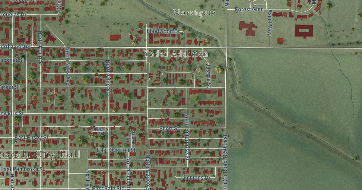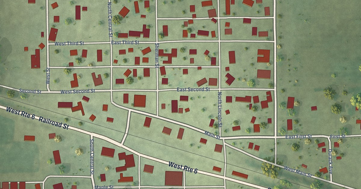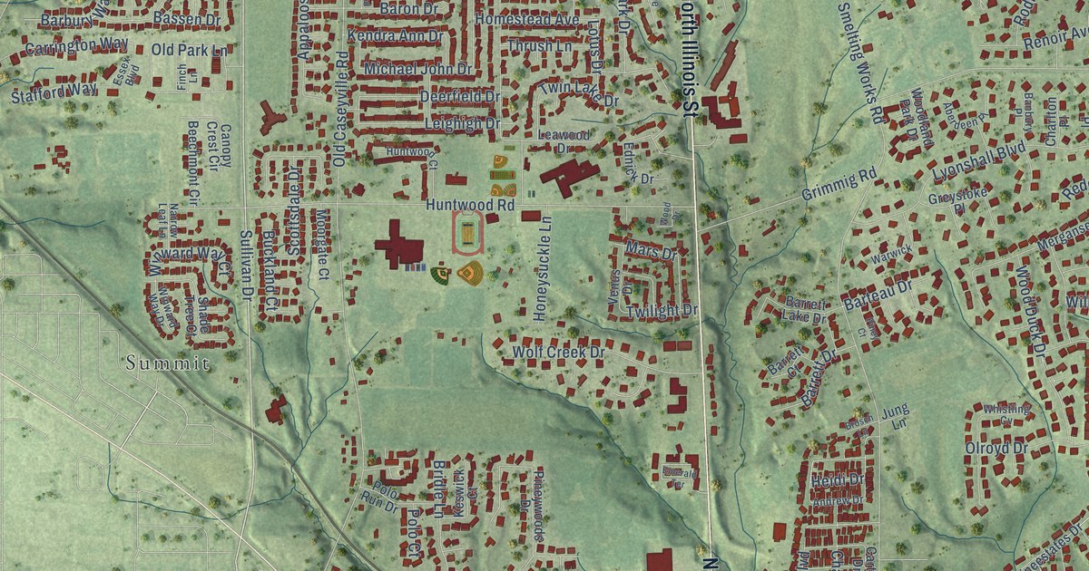
This beautifully detailed map of Swansea, Illinois was created in 2026 using aerial imagery combined with modern topographical, census, street and landmark data. It’s a one-of-a-kind view of Swansea that combines accurate data with a vintage aesthetic. The map shows every building in its true location, many of the roads carry their names, and the shaded topographic relief shows the shape of the land.
Explore an aerial view of Swansea, Illinois
On the map you’ll find The Village of Swansea Government Center, Summit, North Belt East, North Belt West, and Ravenel, along with North Illinois Street, North 17th Street, Sullivan Drive, Frank Scott Parkway East, Anna Street, Union Hill Road, Lotus Drive, and more. If you look closely you can even find your house accurately drawn in its correct location. Zoom in on the preview to look for yours.
Did you know this piece of Swansea, Illinois history?
From the Village of Swansea: "Prior to 1940 fire protection in Swansea was provided by the Belleville Fire Department."
Take a closer look at the Swansea map
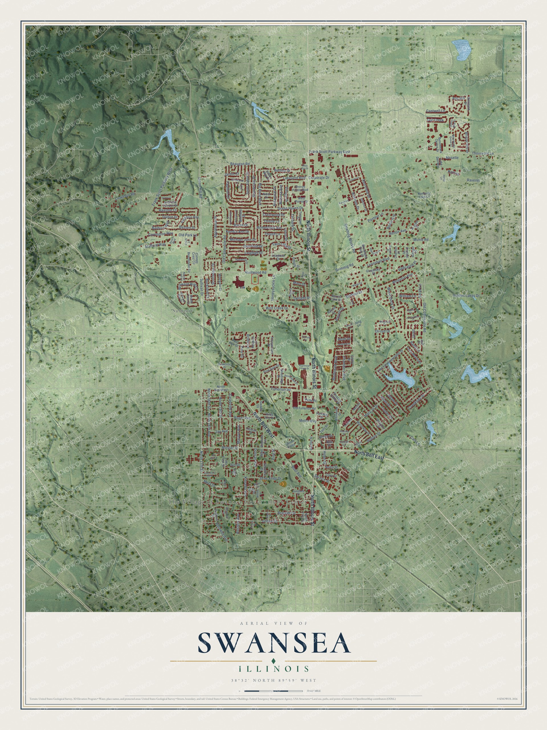
Street and place names on the Swansea, Illinois map
These names are printed on the map of Swansea, Illinois.
Places: The Village of Swansea Government Center and Summit.
Streets and roads: North Belt East, North Illinois Street, North Belt West, North 17th Street, Sullivan Drive, Frank Scott Parkway East, Ravenel, Anna Street, Union Hill Road, Lotus Drive, Smelting Works Road, Old Collinsville Road.
More street names, A to Z
Aberdeen Place, Abinger Place, Adam Drive, Addiston Drive, Alexa Drive, Allen Drive, Ambrose Terrace Drive, Andrew Drive, Appaloosa Drive, Aragon Court, Arbor Drive, Arly Hill, Arundel Place, Banbury Place, Barbury Way, Baron Drive, Barrett Court, Barrett Drive, Barrett Lake Drive, Barteau Drive, Bassen Drive, Baxston Court, Beau Gon Drive, Beaugon Road, Beechmont Circle, Benchmark Centre Drive, Benington Drive, Bettina Drive, Big Bend Boulevard, Bills Drive, Biltmore Terrace, Biverton Drive, Bobbie Drive, Botanical Drive, Boul Avenue, Bourdelais Drive, Brackett Street, Brian Drive, Bridle Lane, Bristol Hill Drive, Britanna Drive, Bronze Pointe Boulevard, Brosch Lane, Buckland Court, Calais Court, Caleb Court, Canopy Crest Circle, Cantwell Lane, Carrington Way, Carthy Drive, Cart Lane, Caseyville Avenue, Castellano Drive, Castle Drive, Catawba Avenue, Chambers Boulevard, Charlton Place, Chesterfield Court, Clara Street, Clifton Way Court, Copperton, Corporate Drive, Creekside Drive, Crestwood Drive, Dale Crest Manor, Dalton Drive, Deerfield Drive, Duncan Avenue, Duncan Street, Ednick Drive, Emerald Terrace, Erwin Drive, Essex Boulevard, Fawn Meadows, Finch Lane, Fournie Lane, Frank Scott Parkway West, Fullerton Road, Garden Street, Gentry Lane, Gilbert Street, Glenwood Drive, Goldenrod Lane, Green Haven Drive, Greystoke Place, Grimmig Road, Gundlach Place, Heatherwood Drive, Heidi Drive, Helen Street, Herby Lane, Hidden Lakes Drive, Hilda Ann Drive, Homestead Avenue, Honeysuckle Lane, Huntwood Court, Huntwood Road, Iris Drive, Ivo Drive, Jardin Court, Jared, Jay Avenue, Joel Drive, Jung Lane, Katrina, Kendra Ann Drive, Kenwood Drive, Keswick Court, Kimberly Lake Lane, Kings Court, Kinsella Avenue, Lake Del-Mar, Lake Front Drive, Lakeland Boulevard, Lake Lorraineestates Drive, Leawood Drive, Leighigh Drive, Llewellyn Road, Lyonshall Boulevard, Marcella Drive, Marilyn Avenue, Marla Kay Drive, Mars Drive, Mary Jo Drive, McDonald Boulevard, Melinda Court, Merganser Boulevard, Meta Drive, Metro Way, Michael John Drive, Miller Lane, Mimosa Avenue, Moorgate Court, Morgan Street, Moselle, Munie Road, Narrow Leaf Lane, Naughton Way, North 15th Street, North 16th Avenue, North 16th Street, North First Street, Old Caseyville Road, Old Fullerton Road, Old Park Lane, Olroyd Drive, Owl Creek, Papillon Drive, Park Place, Parkway Drive, Pasteur Lane, Penrose Drive, Persimmon Drive, Pine Dale Drive, Pine Street, Piney Court, Pineywoods Drive, Pin Oak Lane, Pleasant Valley Drive, Polo Court, Polo Run Drive, Ramsfield Drive, Rand Lane, Redcastle Place, Red Field Drive, Renoir Avenue, Rodin Avenue, Roger Avenue, Rosewood Village Drive, Saint Sabre Drive, Sarah Lane, Schobert Drive, Schulte Drive, Scottsdale Drive, Service Street, Shade Tree Court, Shae-Fries Drive, Short Street, Stafford Way, Switala Lane, Tanbark Drive, Teds Drive, Thistle Lane, Thouvenot Lane, Thrush Lane, Timber Drive, Timberlake Drive, Timber Ridge, Twilight Drive, Twin Lake Drive, Urban Way Drive, Venus Drive, Village Drive, Warwick, Wesleyan Drive, Western Avenue, West Pointe Drive, Whistling Cv, Whitfield Drive, William Lane, Willow Lane, Winchester Grove Court, Windcliffe Drive, Winward Way Court, Winward Way Drive, Wolf Creek Drive, Wood Drive, Wood Duck Drive, Woodland Park Drive, Woodridge Drive.
See the Swansea, Illinois map on a wall
The Swansea map as an 18 x 24 inch print in a black frame.

This beautifully detailed map of Swansea makes an attractive addition to your office, library, or den, and it can even be used to teach children the geography and history of the area. It also makes a great gift for anyone with Swansea roots. When you’re done exploring, click here to get your copy of the Swansea map.