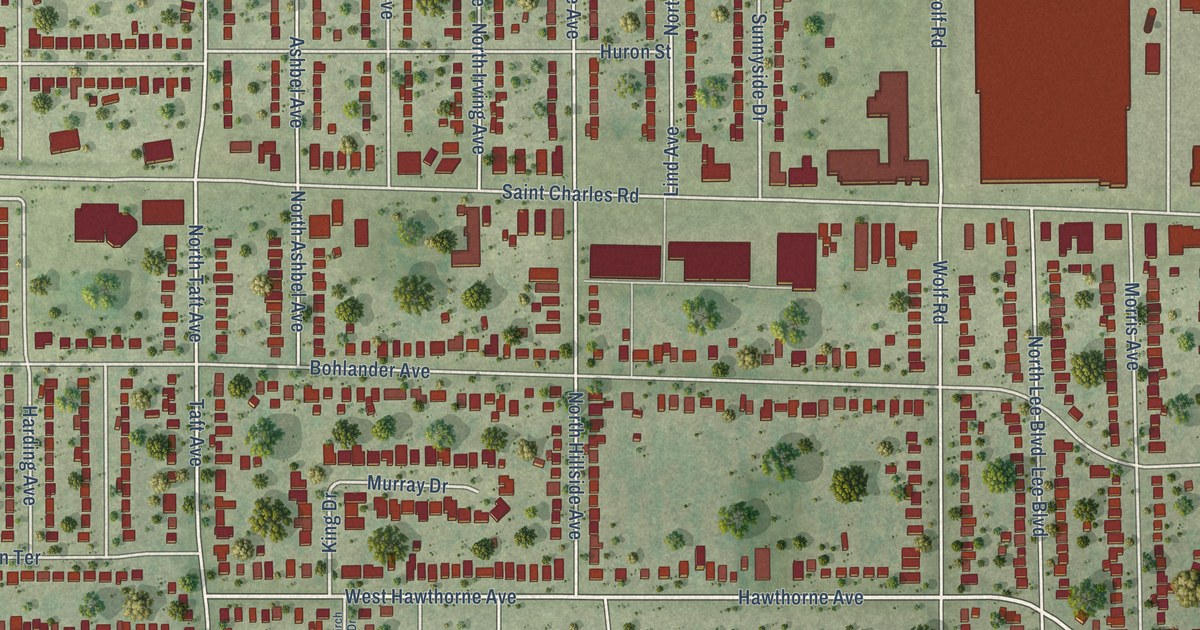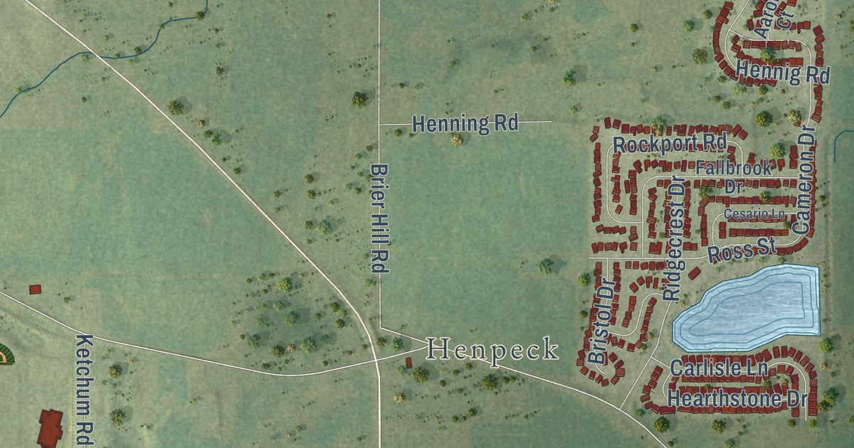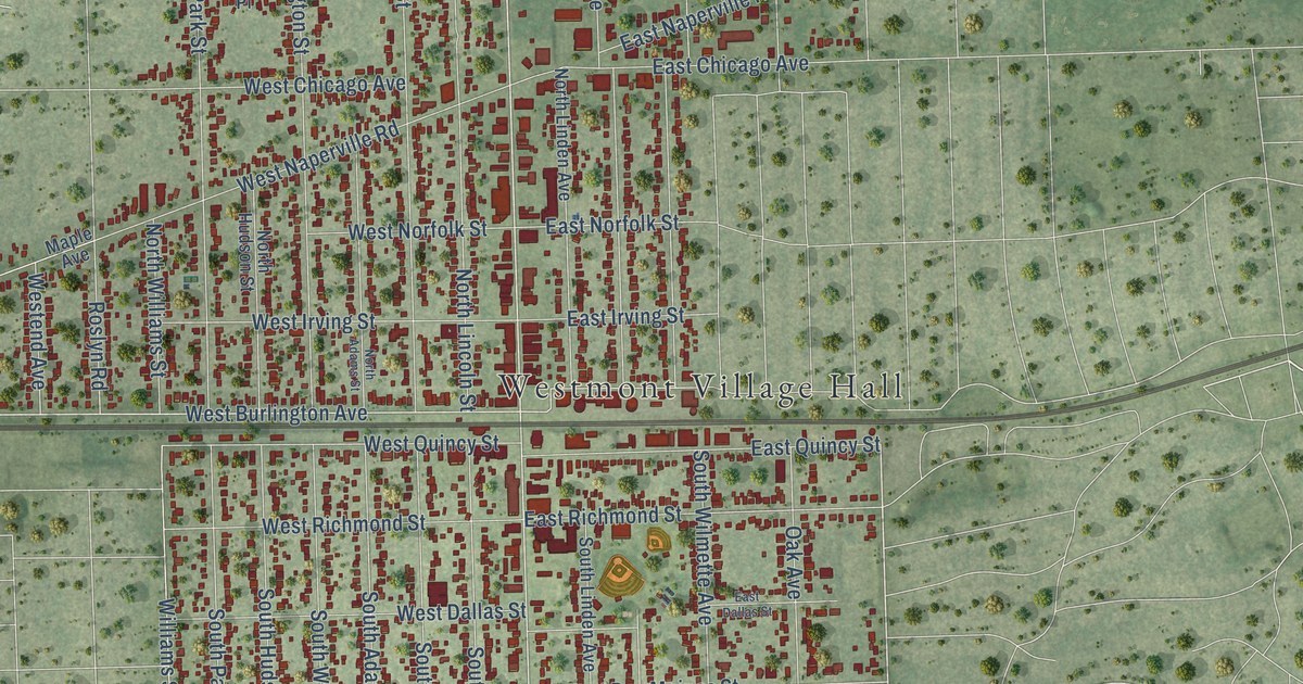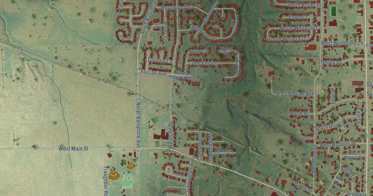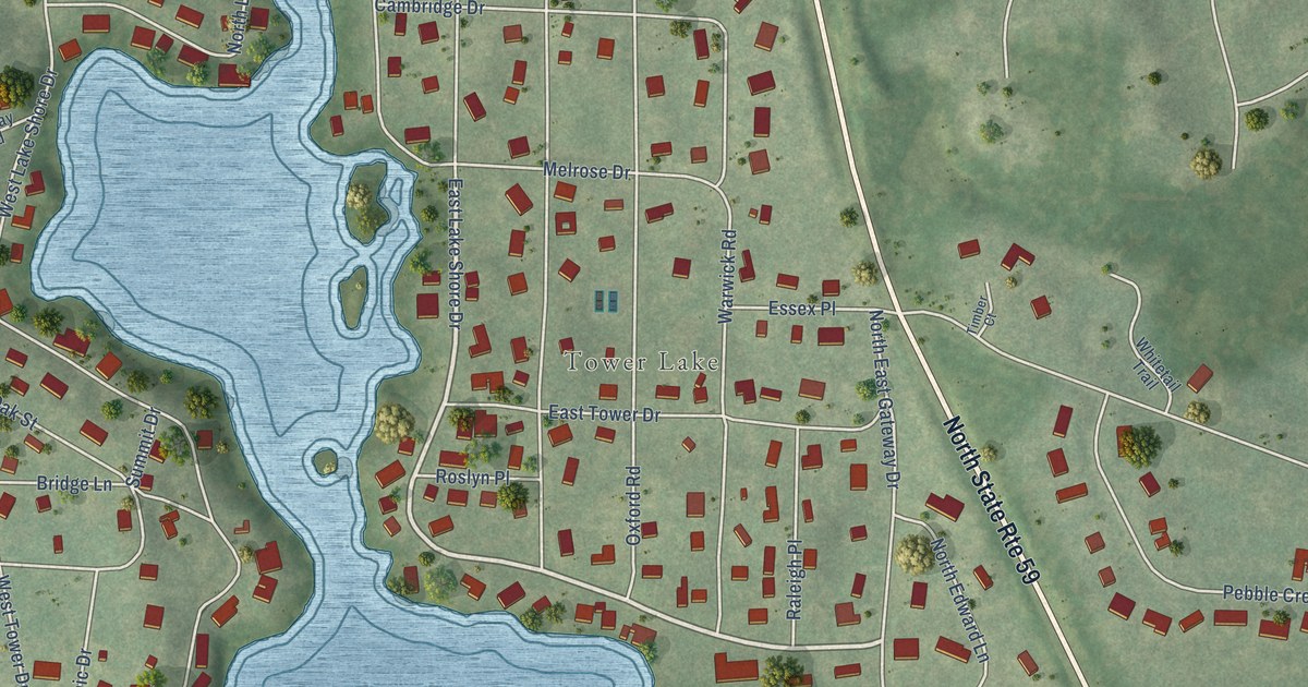
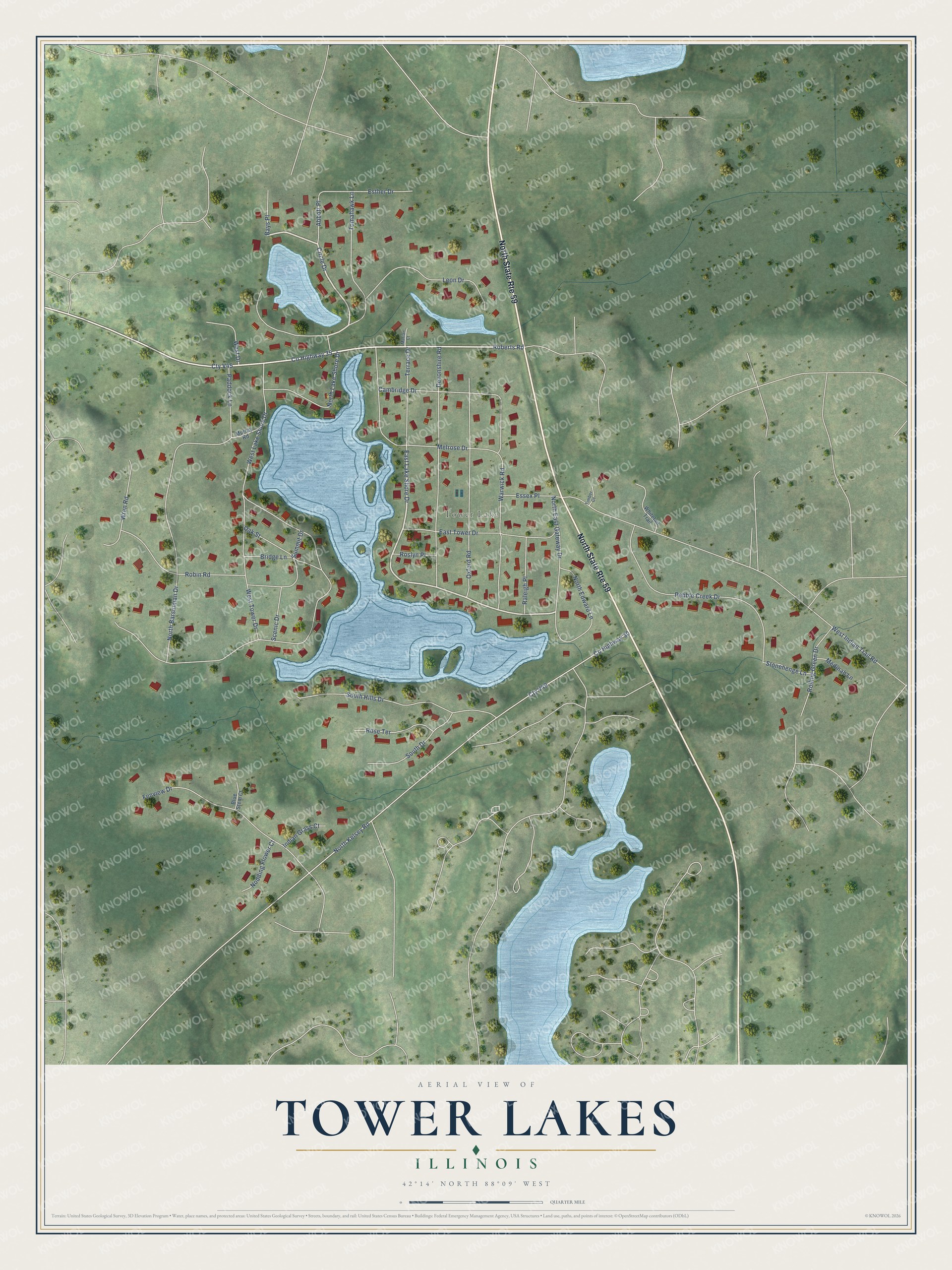
This beautifully detailed map of Tower Lakes, Illinois was created in 2026 using aerial imagery combined with modern topographical, census, street and landmark data. It’s a one-of-a-kind view of Tower Lakes that combines accurate data with a vintage aesthetic. The map shows every building in its true location, many of the roads carry their names, and the shaded topographic relief shows the shape of the land.
Explore an aerial view of Tower Lakes, Illinois
On the map you’ll find Tower Lake and Cty V49, along with East Lake Shore Drive, Circle Drive, County Highway 35, Roberts Road, West Lake Shore Drive, County Highway 30, North Kelsey Road, West Indian Trail Road, North Barsumian Drive, Devonshire Road, and more. If you look closely you can even find your house accurately drawn in its correct location. Zoom in on the preview to look for yours.
Did you know this piece of Tower Lakes, Illinois history?
From the Village of Tower Lakes: "In 1931, the Tower Lakes Improvement Association (TLIA) was chartered to act as the governing body of the growing community."
Take a closer look at the Tower Lakes map
Street and place names on the Tower Lakes, Illinois map
These names are printed on the map of Tower Lakes, Illinois.
Places: Tower Lake.
Streets and roads: North State Route 59, East Lake Shore Drive, Circle Drive, County Highway 35, Roberts Road, West Lake Shore Drive, County Highway 30, Cty V49, North Kelsey Road, West Indian Trail Road, North Barsumian Drive, Devonshire Road.
More street names, A to Z
Abbott Place, Bays Place, Blue Stem Court, Bridge Lane, Cambridge Drive, Cty V45, East Tower Drive, Essex Place, Esther Drive, Fenview Drive, Indian Grass Court, Leon Drive, Marian Court, Medinah Lane, Melrose Drive, Murray Road, Nodding Flower Court, North East Gateway Drive, North Edward Lane, North Lake Shore Drive, Oak Street, Oxford Road, Paddock Lane, Pebble Creek Drive, Raleigh Place, Robin Road, Rolling Green Drive, Rose Terrace, Roslyn Place, Scenic Drive, South Drive, South Hills Drive, Stonehenge Lane, Summit Drive, Terrace Drive, Timber Court, Tomahawk Lane, Warwick Road, West Drive, West Tower Drive, Whitetail Trail, Wren Road.
See the Tower Lakes, Illinois map on a wall
The Tower Lakes map as an 18 x 24 inch print in a black frame.

This beautifully detailed map of Tower Lakes makes an attractive addition to your office, library, or den, and it can even be used to teach children the geography and history of the area. It also makes a great gift for anyone with Tower Lakes roots. When you’re done exploring, click here to get your copy of the Tower Lakes map.