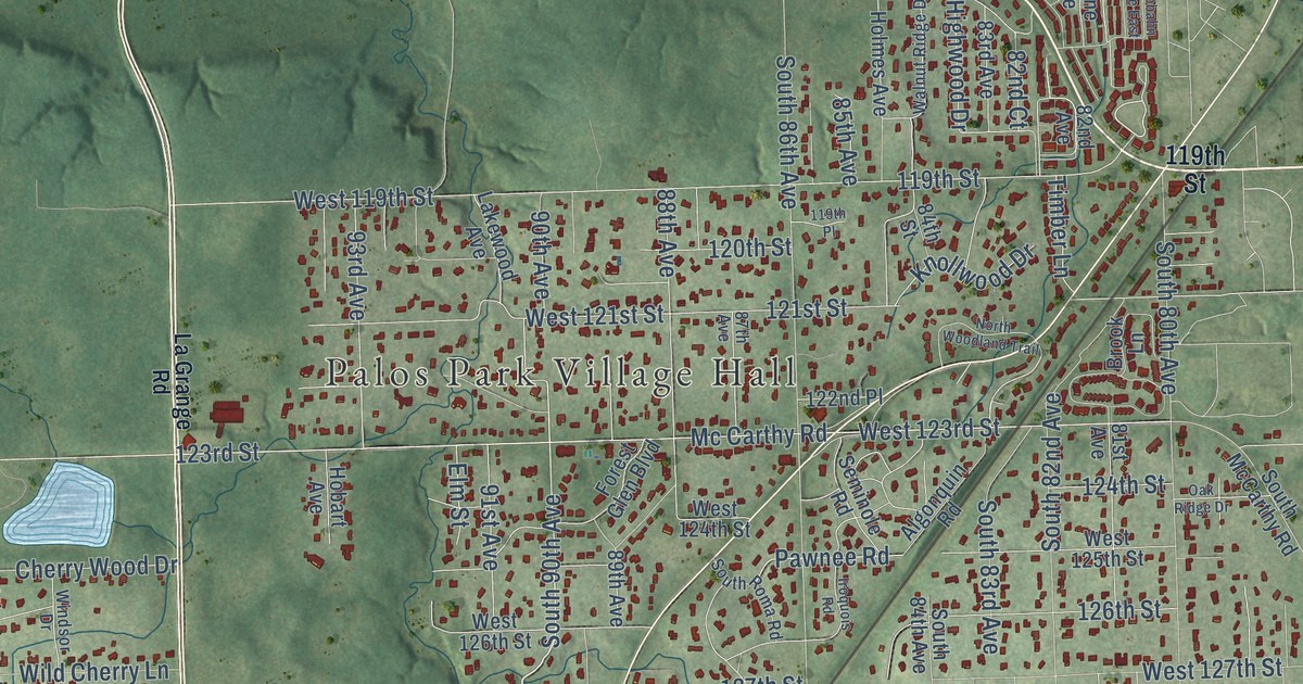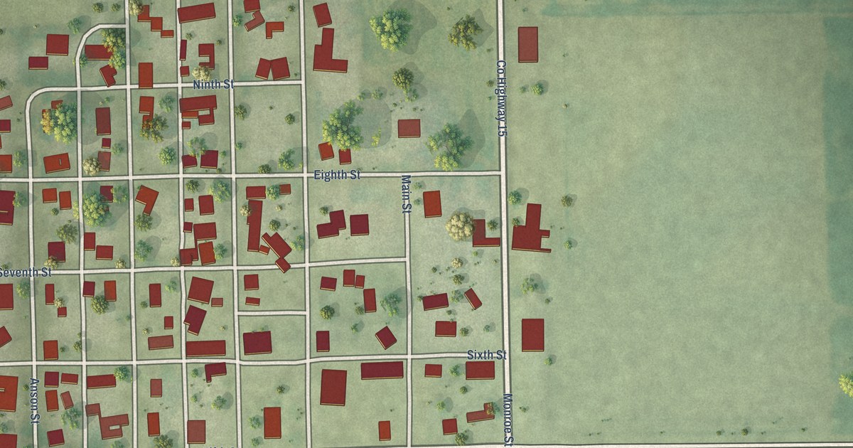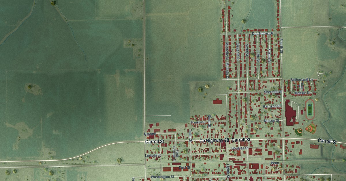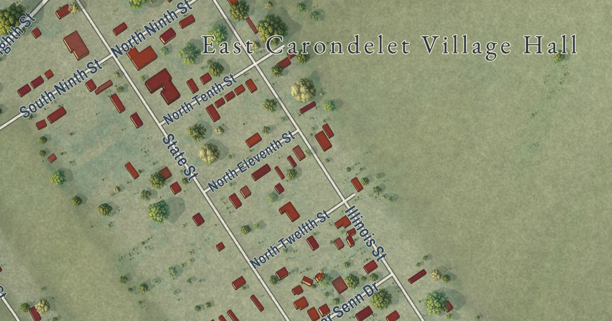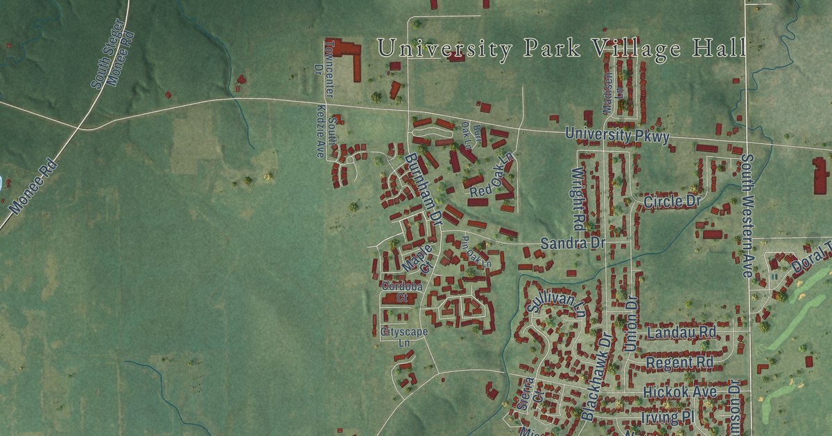
This beautifully detailed map of University Park, Illinois was created in 2026 using aerial imagery combined with modern topographical, census, street and landmark data. It’s a one-of-a-kind view of University Park that combines accurate data with a vintage aesthetic. The map shows every building in its true location, many of the roads carry their names, and the shaded topographic relief shows the shape of the land.
Explore an aerial view of University Park, Illinois
On the map you’ll find University Park Village Hall, Palmer Park, Olmsted, and 4000 West, along with South Cicero Avenue, Governors Highway, South Governors Highway, South Old Monee Steger Road, University Drive, Dralle Road, Hamilton Road, Blackhawk Drive, and more. If you look closely you can even find your house accurately drawn in its correct location. Zoom in on the preview to look for yours.
Did you know this piece of University Park, Illinois history?
From the U.S. Geological Survey: "On January 31, 1984, this village changed its name to University Park."
Take a closer look at the University Park map
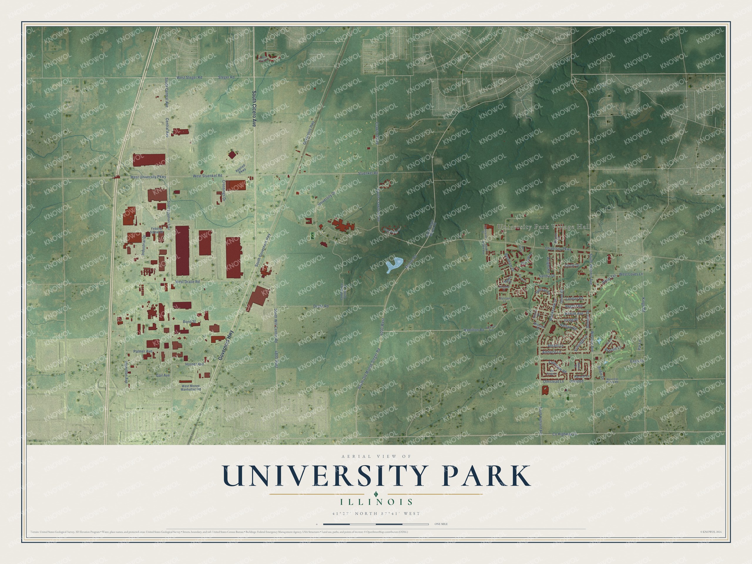
Street and place names on the University Park, Illinois map
These names are printed on the map of University Park, Illinois.
Places: University Park Village Hall and Palmer Park.
Streets and roads: South Cicero Avenue, Governors Highway, Western Avenue, County Highway 21, South Old Monee Steger Road, Hamilton Road, Monee Road, South Governors Highway, Crawford Avenue, Olmsted, Burnham Drive, Sullivan Lane.
More street names, A to Z
4000 West, 4800 West, Abbott Lane, Amherst Lane, Anvil Court, Applied Parkway, Ashridge Lane, Birdie Drive, Blackhawk Drive, Bond Street, Brassie Lane, Burr Oak Lane, Central Avenue, Circle Drive, Cityscape Lane, Conference Center Drive, Cordoba Court, Crossings Drive, Doral Terrace, Dralle Road, Eagle Drive, Fairway Lane, Farmview Road, Federal Signal Drive, Gail Avenue, Hamilton Avenue, Harvest Lane, Hickock Avenue, Hickok Avenue, Hickory Creek Drive, Horner Avenue, Industrial Drive, Irving Place, Kings Road, Landau Road, Madisen Lane, Maple Court, Mission Drive, Nathan Road, Old Forge Lane, Olmstead Lane, Palmer Avenue, Par Lane, Pine Woods Court, Pin Oak Lane, Red Oak Lane, Regent Road, Samson Drive, Sandra Drive, Sierra Court, South Central Avenue, South Crawford Avenue, South Egyptian Trail, South Highland Avenue, South Kedzie Avenue, South Steger Monee Road, South Western Avenue, South Will Center Road, Steger Road, Stuenkel Road, Towncenter Drive, Union Drive, University Drive, University Parkway, West Dralle Road, West Loves Lane, West Monee Manhattan Road, West Old Monee Road, West Steger Road, West Stuenkel Road, West University Parkway, Wright Road.
See the University Park, Illinois map on a wall
The University Park map as an 18 x 24 inch print in a black frame.

This beautifully detailed map of University Park makes an attractive addition to your office, library, or den, and it can even be used to teach children the geography and history of the area. It also makes a great gift for anyone with University Park roots. When you’re done exploring, click here to get your copy of the University Park map.