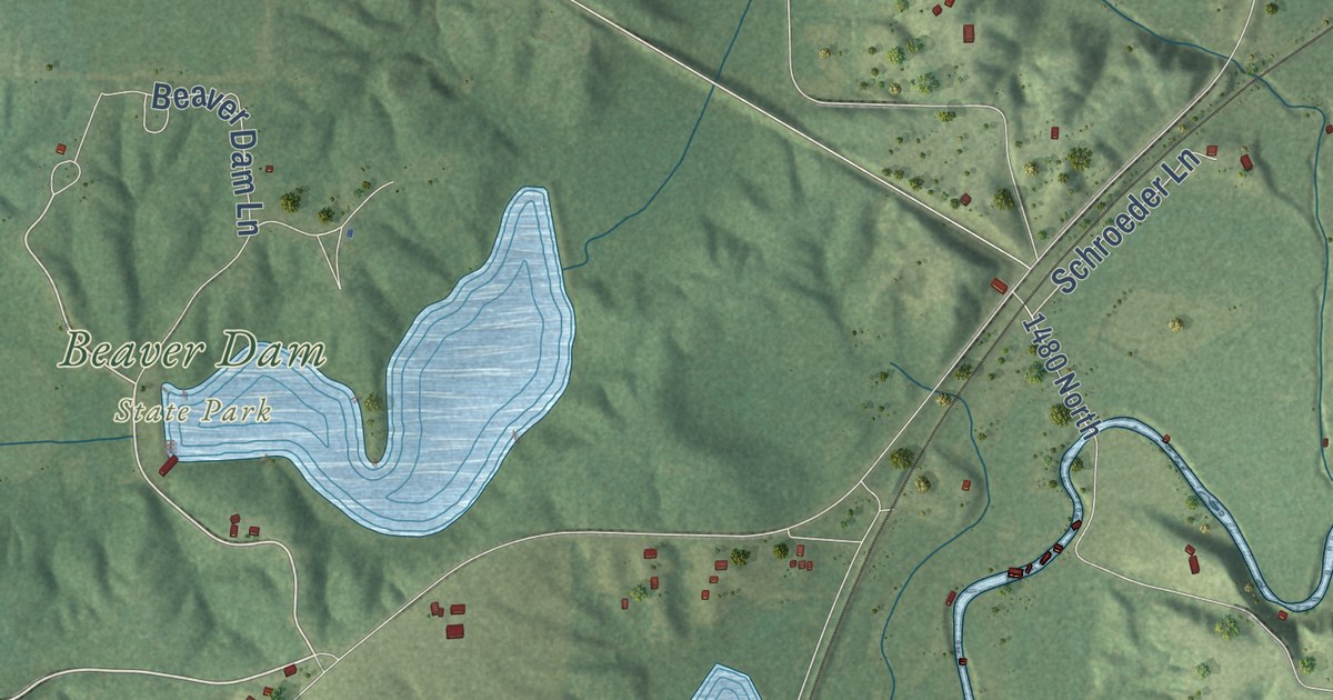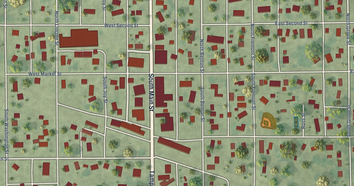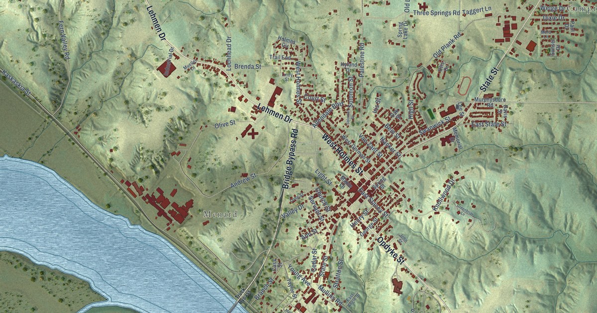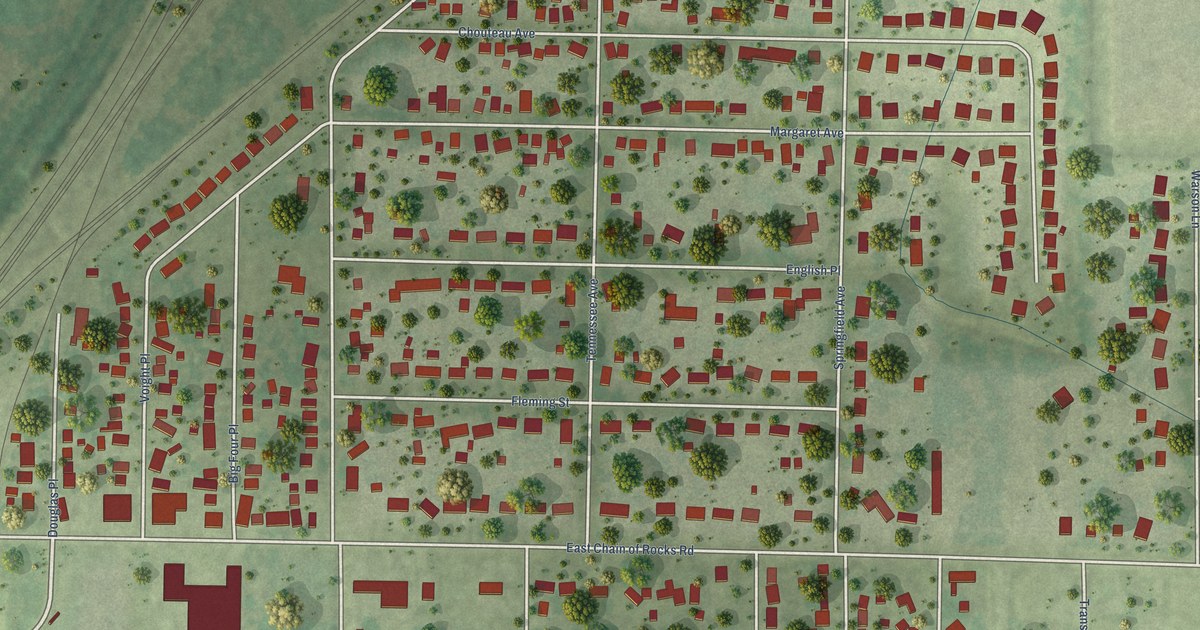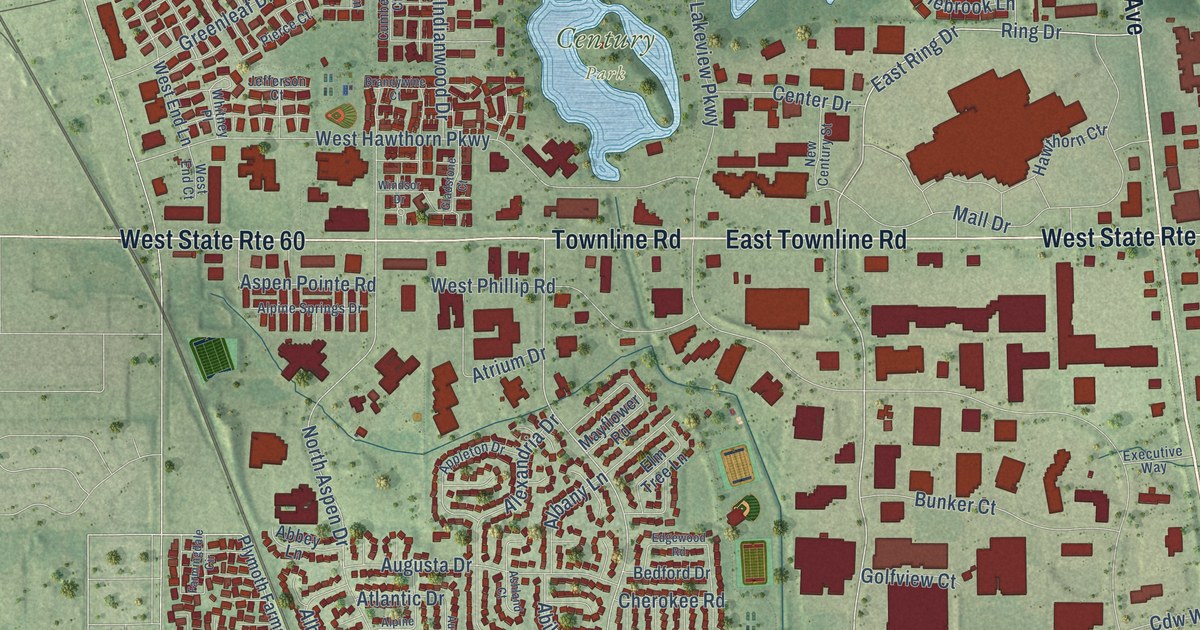
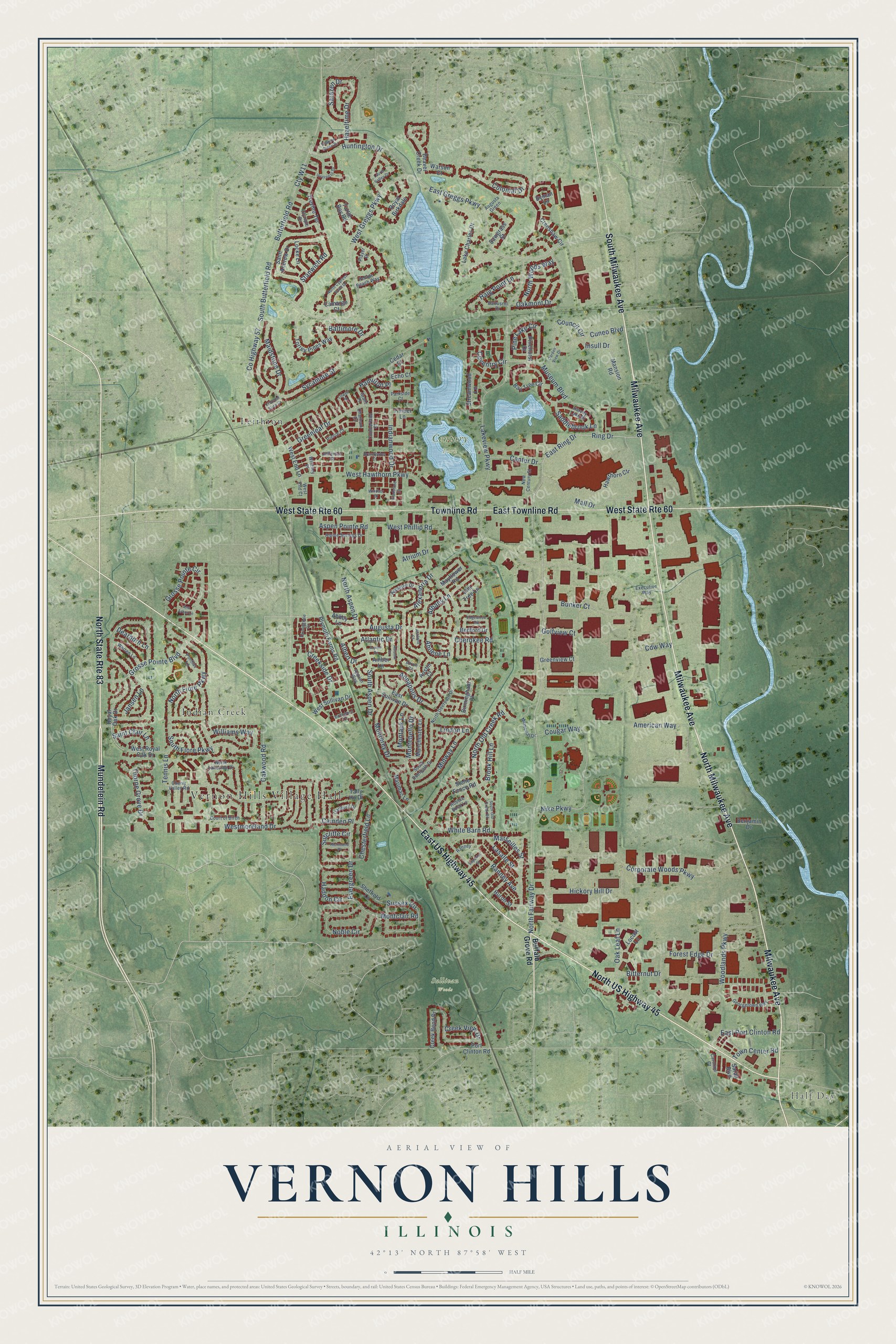
This beautifully detailed map of Vernon Hills, Illinois was created in 2026 using aerial imagery combined with modern topographical, census, street and landmark data. It’s a one-of-a-kind view of Vernon Hills that combines accurate data with a vintage aesthetic. The map shows every building in its true location, many of the roads carry their names, and the shaded topographic relief shows the shape of the land.
Explore an aerial view of Vernon Hills, Illinois
On the map you’ll find Vernon Hills Village Hall, Half Day, Century Park, Sullivan Woods, Indian Creek, and Leithton, along with Milwaukee Avenue, Mundelein Road, North Milwaukee Avenue, North US Highway 45, East US Highway 45, South Milwaukee Avenue, and more. If you look closely you can even find your house accurately drawn in its correct location. Zoom in on the preview to look for yours.
Did you know this piece of Vernon Hills, Illinois history?
From the Village of Vernon Hills: "With that, Vernon Hills was born on July 16, 1958, with Matt Teolis selected as the first Village President."
Take a closer look at the Vernon Hills map
Street and place names on the Vernon Hills, Illinois map
These names are printed on the map of Vernon Hills, Illinois.
Places: Vernon Hills Village Hall, Half Day, Century Park, Sullivan Woods, Indian Creek and Leithton.
Streets and roads: Milwaukee Avenue, Mundelein Road, North Milwaukee Avenue, North US Highway 45, East US Highway 45, South Milwaukee Avenue, Townline Road, West State Route 60, East Townline Road, North State Route 83, North Fairway Drive, East Greggs Parkway.
More street names, A to Z
Abbey Lane, Abilene Lane, Albany Lane, Albert Drive, Alexandria Drive, Alpine Drive, Alpine Springs Drive, Amber Lane, American Way, Annapolis Drive, Ann Arbor Lane, Appian Way, Appleton Drive, Arron Court, Ashland Court, Aspen Pointe Road, Atlantic Drive, Atrium Drive, Augusta Drive, Augusta Green, Austin Court, Autumn Lane, Baltimore Drive, Baltusrol Drive, Bay Tree Circle, Beaver Creek Drive, Bedford Drive, Benjamin Drive, Birchwood Court, Birmingham Place, Bitternut Drive, Brandywine Court, Brook Hill Lane, Buffalo Grove Road, Bunker Court, Butterfield Road, Byman Lane, Camargo Court, Camden Place, Caroline Court, Cdw Way, Cedar Court, Center Drive, Chatham Court, Cherokee Road, Cherry Valley Road, Chesterfield Lane, Colonial Drive, Corporate Woods Parkway, Cougar Way, Council Circle, County Highway 57, Court of Birch, Coventry Circle, Creek Bend Drive, Creekside Drive, Creek View Drive, Crenshaw Circle, Crooked Stick Court, Cty W11, Cumberland Court, Cuneo Boulevard, Danbury Drive, Dearborn Lane, East Port Clinton Road, East Ring Drive, East Sullivan Drive, Echo Court, Edgewood Road, Elm Tree Lane, Evergreen Drive, Executive Way, Farmingdale Circle, Forest Edge Drive, Garden View Drive, Georgetown Way, Gladstone Court, Golfview Court, Grant Place, Greenleaf Drive, Greenview Court, Grosse Pointe Boulevard, Grosse Pointe Circle, Haddon Circle, Haig Point Lane, Hamilton Place, Harvey Lake Drive, Hawthorn Ctr, Hazeltime Drive, Hickory Hill Drive, Hobble Bush Lane, Huntington Drive, Huron Street, Indianwood Drive, Insull Drive, Inverness Drive, Jansen Lane, Jefferson Court, Lake Charles Drive, Lakeview Parkway, Lasalle Street, Laurel Valley Drive, Lindon Lane, Locke Lane, Locust Lane, Lowell Place, Maidstone Drive, Mall Drive, Manchester Lane, Mansion Road, Marimac Lane, Marseilles Street, Mayflower Road, Memorial Drive, Midway Lane, Montauk Lane, Montclair Road, Montebello Drive, Monterey Drive, Museum Boulevard, New Century Street, Nike Parkway, Noble Circle, North Aspen Drive, North Cypress Point Drive, North Deerpath Drive, North Fiore Parkway, North Lakeside Drive, North Old Creek Road, North Woods Way, Oak Leaf Lane, Oakmont Drive, Oakwood Road, Olympic Drive, Parkside Court, Pebble Beach Way, Pierce Court, Pinehurst Drive, Pine Lake Circle, Player Court, Plymoth Farms Road, Pontiac Lane, Port Clinton Road, Ranney, Ranney Avenue, Richmond Place, Ring Drive, Royal Birkdale, Royal Oak Drive, Saddlebrook Lane, Saint Andrew Drive, Saint Clair Lane, Sarah Boulevard, Sarazen Drive, Sawgrass Street, Shadow Creek Drive, Sheffield Lane, South Aspen Drive, South Butterfield Road, South Deerpath Drive, South Fiore Parkway, South Old Creek Road, Stanwich Road, Stone Fence Road, Streamwood Lane, Superior Street, Sussex Circle, Sutcliffe Circle, Sycamore Street, Tally Ho Drive, Tennis Lane, Thorne Grove Drive, Timber Lane, Torrey Pines Way, Town Center Road, Trevino Terrace, Turtle Bay Road, Warren Lane, Warson Court, West End Court, West End Lane, West Greggs Parkway, West Hawthorn Parkway, Westmoreland Drive, West Phillip Road, West Royal Oak Drive, West Sullivan Drive, White Barn Road, Whitney Place, Williams Way, Windsor Drive, Woodlands Parkway.
See the Vernon Hills, Illinois map on a wall
The Vernon Hills map as an 18 x 24 inch print in a black frame.

This beautifully detailed map of Vernon Hills makes an attractive addition to your office, library, or den, and it can even be used to teach children the geography and history of the area. It also makes a great gift for anyone with Vernon Hills roots. When you’re done exploring, click here to get your copy of the Vernon Hills map.