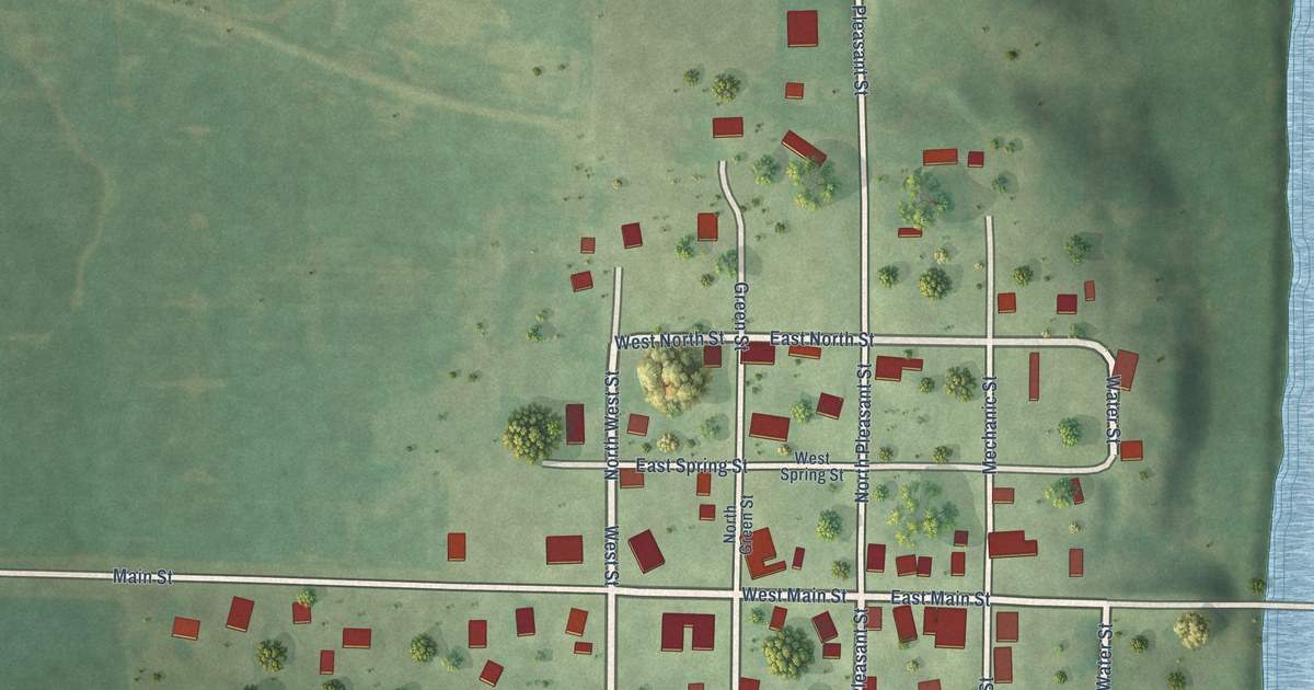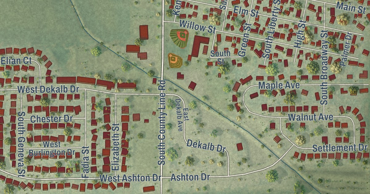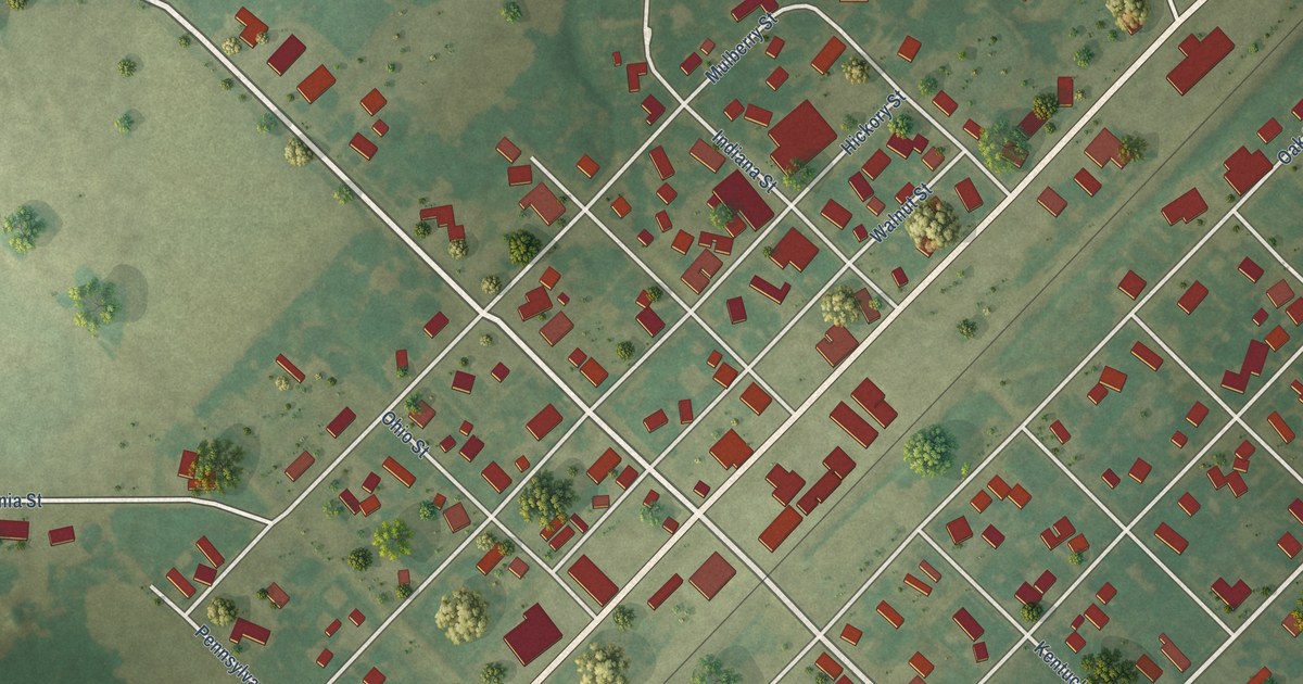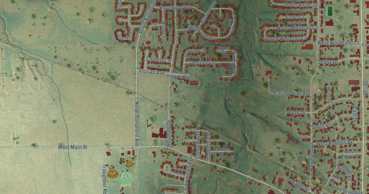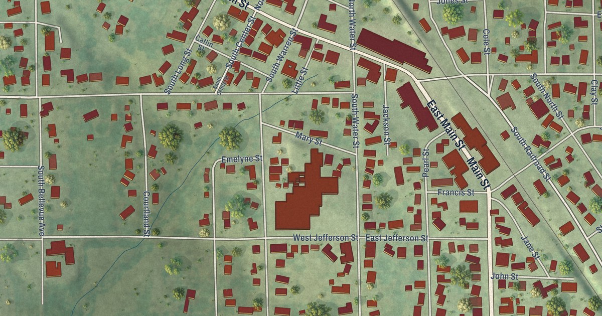
This beautifully detailed map of Warren, Illinois was created in 2026 using aerial imagery combined with modern topographical, census, street and landmark data. It’s a one-of-a-kind view of Warren that combines accurate data with a vintage aesthetic. The map shows every building in its true location, many of the roads carry their names, and the shaded topographic relief shows the shape of the land.
Explore an aerial view of Warren, Illinois
On the map you’ll find Meridian Park, along with East Main Street, Main Street, Tisdell Avenue, West Main Street, Tisdell Street, Morse Street, Fielder Road, South Railroad Street, North Warren Street, North Water Street, West Hyde Street, and more. If you look closely you can even find your house accurately drawn in its correct location. Zoom in on the preview to look for yours.
Did you know this piece of Warren, Illinois history?
From the History of Jo Daviess County: "Several years before the railroad was completed to the Village of Warren, the scattered pioneers had provided a means of education for their little ones. About 1848 a school-house was built one half mile west of the site of Warren, in which Charles Cole first gave instruction."
Take a closer look at the Warren map
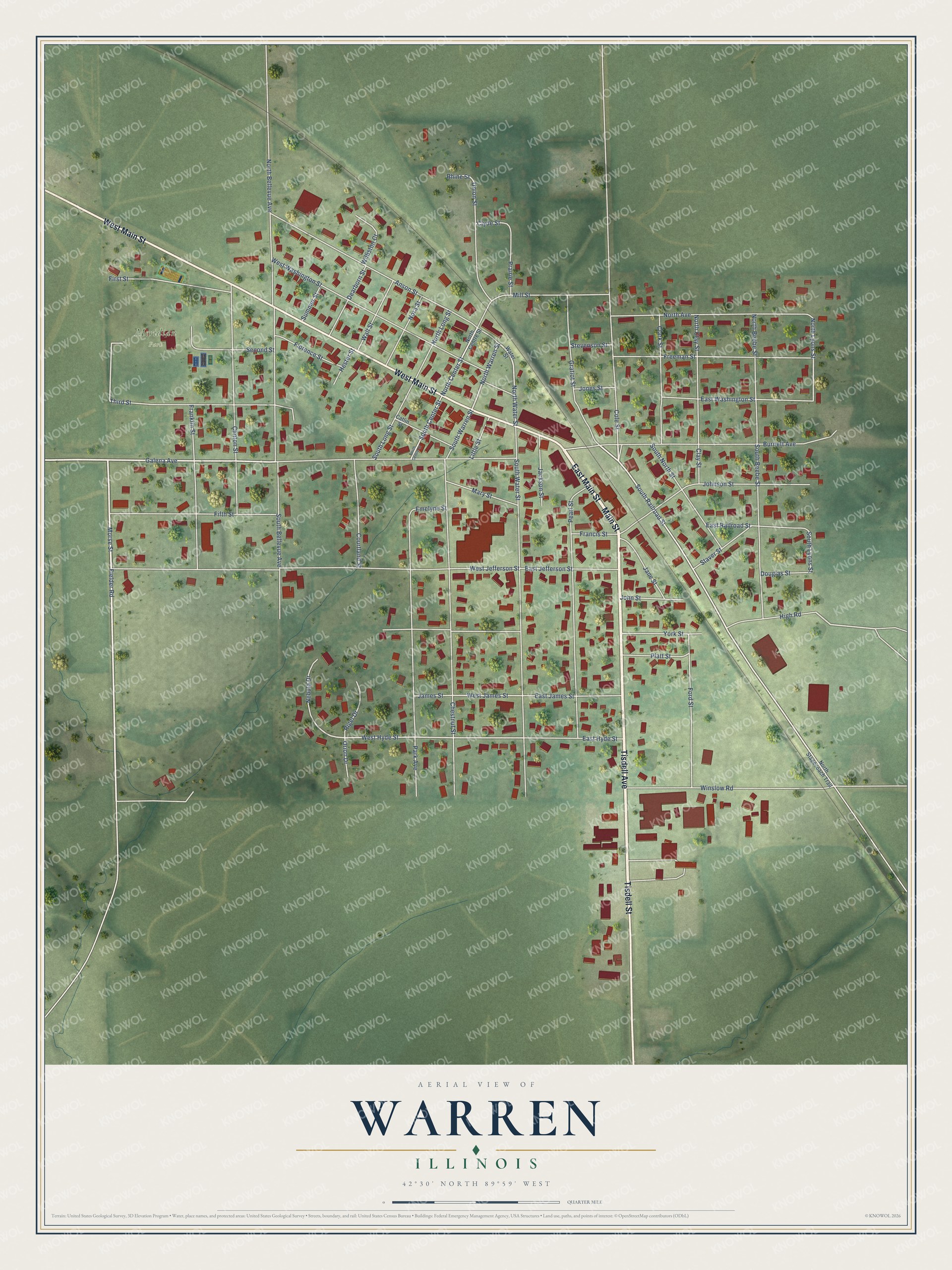
Street and place names on the Warren, Illinois map
These names are printed on the map of Warren, Illinois.
Places: Meridian Park.
Streets and roads: East Main Street, Main Street, Tisdell Avenue, West Main Street, Tisdell Street, Morse Street, Fielder Road, South Railroad Street, North Warren Street, North Water Street, West Hyde Street, North Lyons Street.
More street names, A to Z
Anson Street, Burnett Avenue, Catlin Street, Chestnut Street, Clark Street, Clay Street, Clinton Street, Clyde Street, Cole Street, Courtland Street, Dearborn Street, Douglas Street, East Hyde Street, East James Street, East Jefferson Street, East Railroad Street, East Washington Street, Emelyne Street, Fifth Street, First Street, Florence Street, Ford Street, Francis Street, Franklin Street, Freeman Street, Galena Avenue, Gratiot Street, Hester Street, High Road, Jackson Street, James Street, Jane Street, Johnson Street, John Street, Jones Street, Little Street, Mary Street, Mill Street, Nebula Drive, Nora Street, North Avenue, North Beebe Street, North Bellevue Avenue, North Center Street, North Centre Street, North Clay Street, North Long Street, North Stagecoach Trail, Orion Drive, Park Avenue, Pearl Street, Platt Street, Prairie Street, Rhine Street, Rigel Drive, Second Street, South Beebe Street, South Bellevue Avenue, South Center Street, South Centre Street, South Long Street, South Lyons Street, South North Street, South Warren Street, South Water Street, Staver Street, Stevenson Street, Summer Street, Third Street, Union Street, Wall Street, Water Street, West James Street, West Jefferson Street, West Washington Street, Williston Court, Winslow Road, York Street.
See the Warren, Illinois map on a wall
The Warren map as an 18 x 24 inch print in a black frame.

This beautifully detailed map of Warren makes an attractive addition to your office, library, or den, and it can even be used to teach children the geography and history of the area. It also makes a great gift for anyone with Warren roots. When you’re done exploring, click here to get your copy of the Warren map.