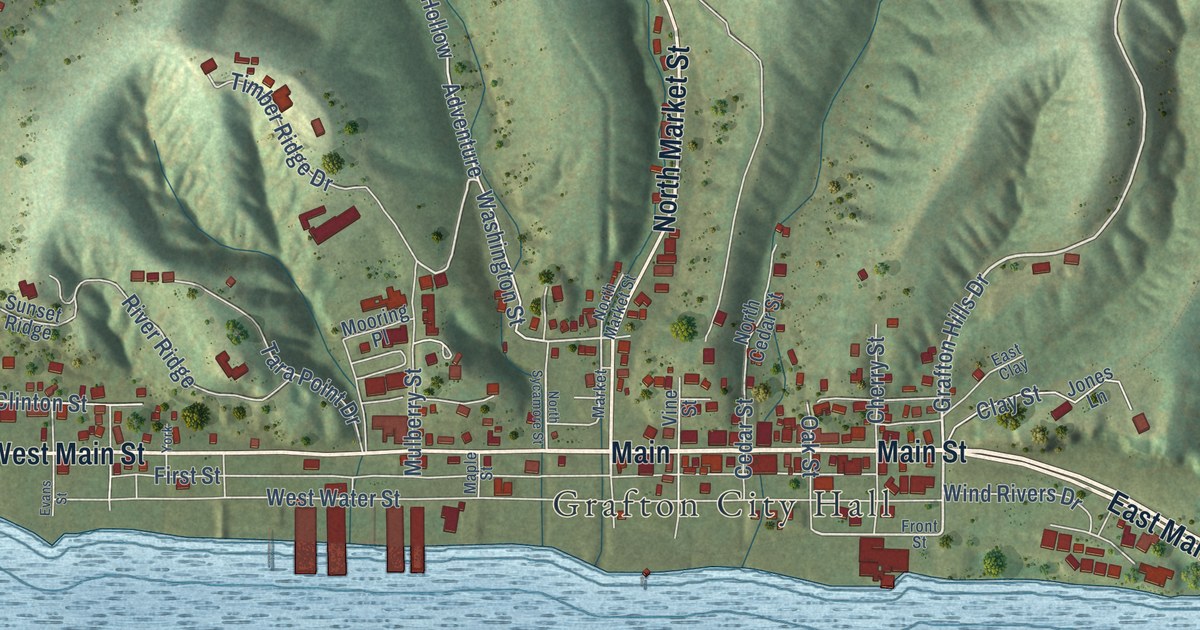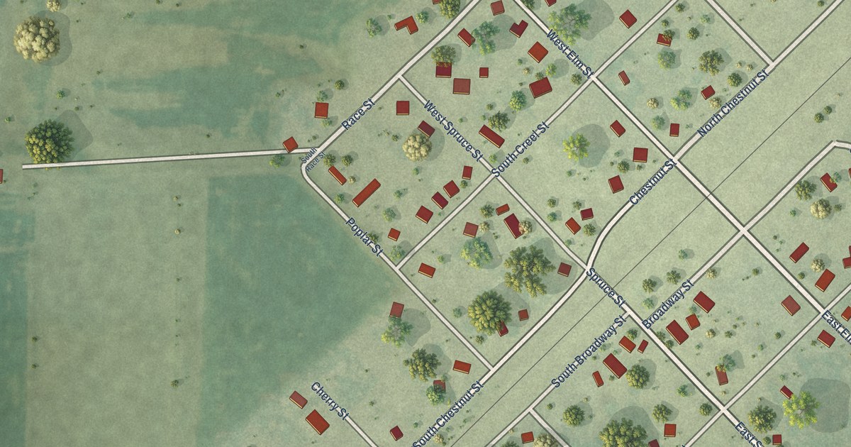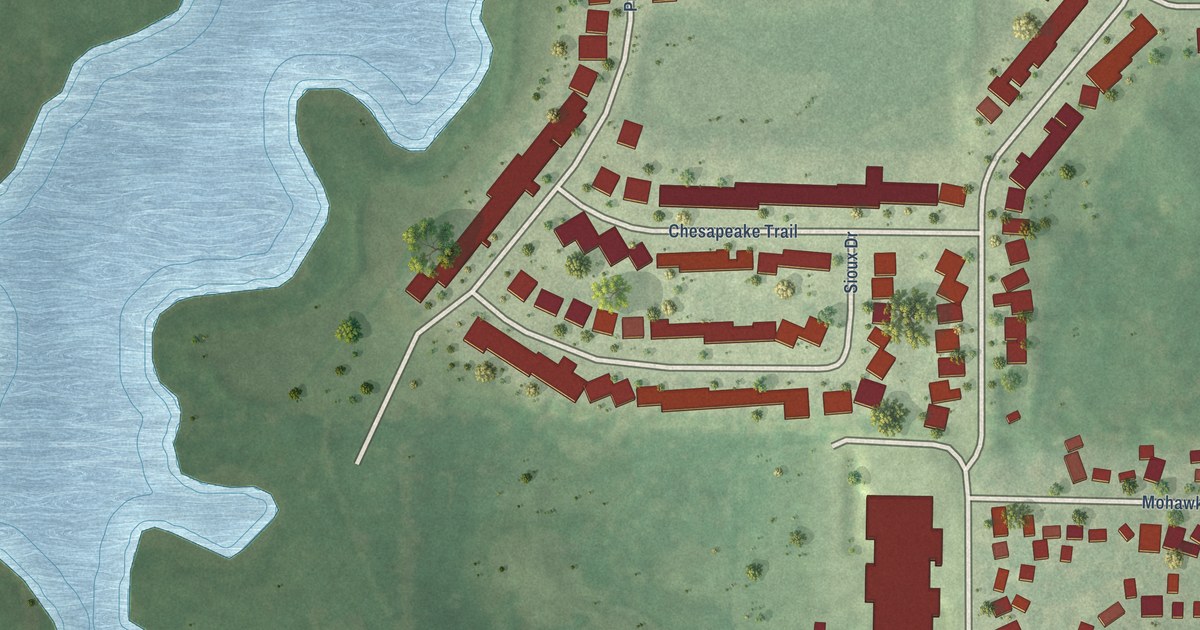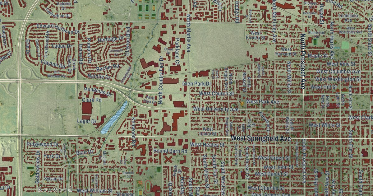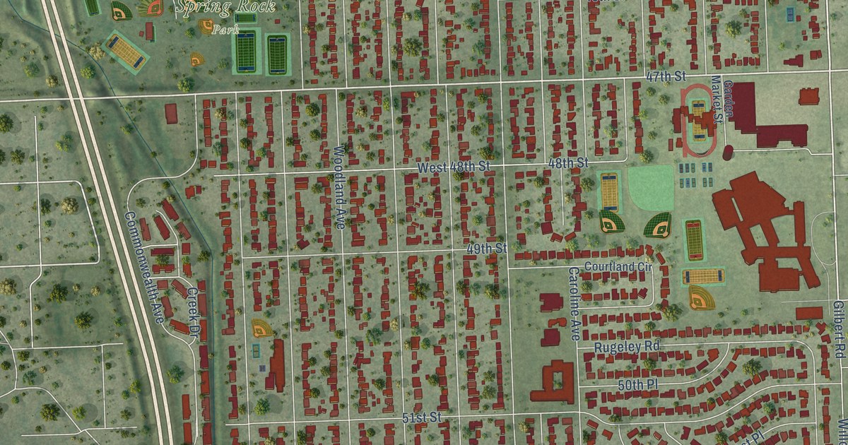
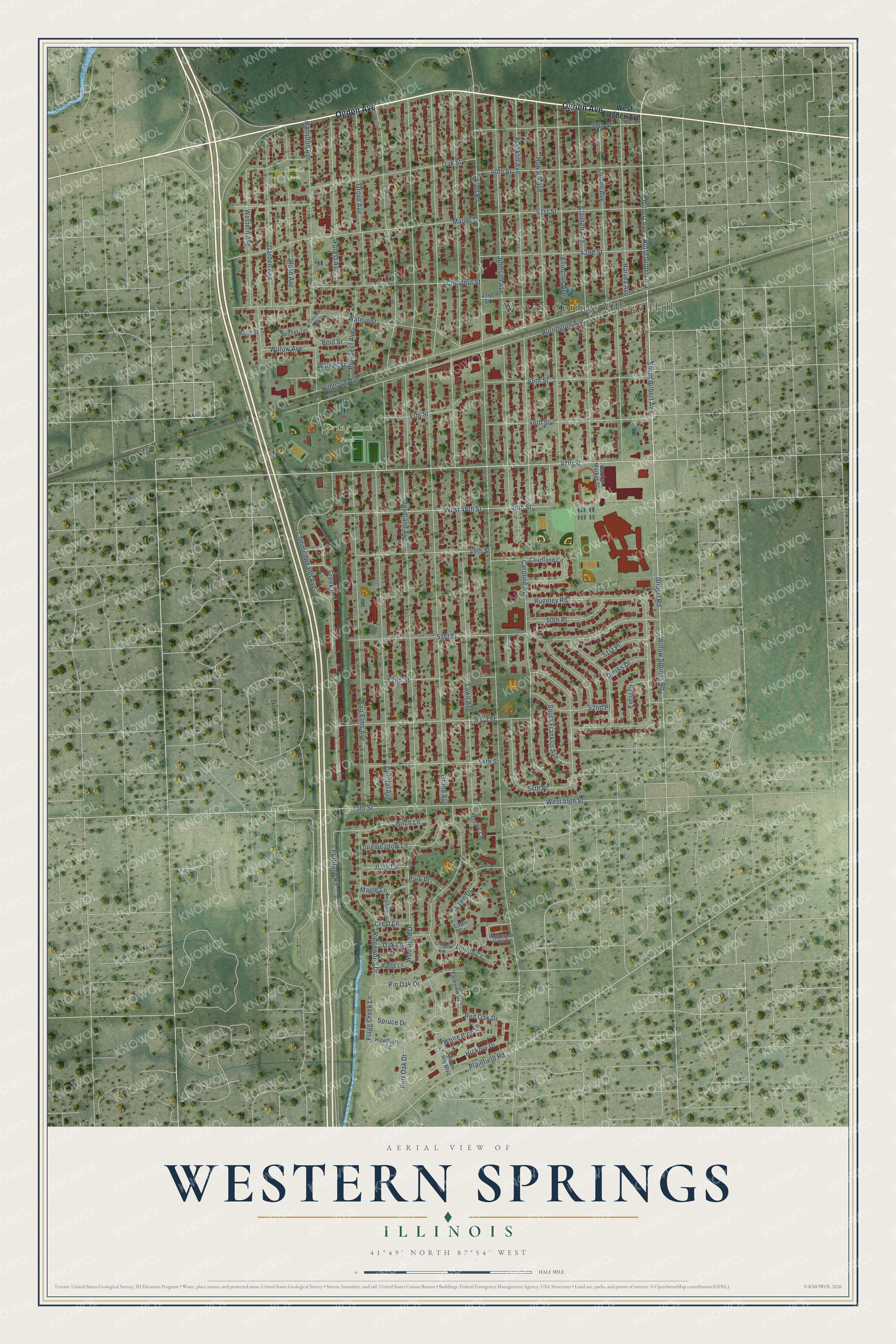
This beautifully detailed map of Western Springs, Illinois was created in 2026 using aerial imagery combined with modern topographical, census, street and landmark data. It’s a one-of-a-kind view of Western Springs that combines accurate data with a vintage aesthetic. The map shows every building in its true location, many of the roads carry their names, and the shaded topographic relief shows the shape of the land.
Explore an aerial view of Western Springs, Illinois
On the map you’ll find Western Springs Village Hall, Spring Rock Park, Sereda Park, and 54th Place, along with Ogden Avenue, South Gilbert Avenue, Gilbert Avenue, North Gilbert Avenue, 47th Street, Longmeadow Lane, 55th Street, Wolf Road, and more. If you look closely you can even find your house accurately drawn in its correct location. Zoom in on the preview to look for yours.
Did you know this piece of Western Springs, Illinois history?
Western Springs was named for mineral springs on the southwest side of town. When that spring dried up in 1890, village leaders hired engineers Edgar and Benezette Williams to build a waterworks. Their water tower of Naperville stone rises 112 feet, and it became a museum in 1970.
Take a closer look at the Western Springs map
Street and place names on the Western Springs, Illinois map
These names are printed on the map of Western Springs, Illinois.
Places: Western Springs Village Hall, Spring Rock Park and Sereda Park.
Streets and roads: Ogden Avenue, South Gilbert Avenue, Gilbert Avenue, North Gilbert Avenue, 47th Street, Longmeadow Lane, 54th Place, 55th Street, Wolf Road, Grand Avenue, Lawn Avenue, Woodland Avenue.
More street names, A to Z
39th Street, 40th Street, 41st Street, 42nd Street, 43rd Street, 45th Street, 46th Street, 48th Street, 49th Street, 50th Place, 51st Place, 51st Street, 52nd Place, 52nd Street, 53rd Street, 54th Street, Birch Lane, Burlington Avenue, Burr Oak Drive, Caroline Avenue, Central Avenue, Chestnut Street, Circle Drive, Clausen Avenue, Commonwealth Avenue, Courtland Circle, Creek Drive, Crest Lane, Crestview Drive, Dierks Drive, Ellington Avenue, Elm Street, Ernst Court, Fair Elms Avenue, Flagg Creek Lane, Forest Avenue, Franklin Avenue, Frontage Road, Garden Avenue, Garden Market Street, Gilbert Road, Grove Avenue, Hampton Avenue, Harvey Avenue, Hawthorne Lane, Heritage Court, Hickory Drive, Hillgrove Avenue, Howard Avenue, Johnson Avenue, Lawn Circle, Lawn Drive, Linden Avenue, Linden Court, Linden Lane, Maple Lane, Maple Street, Oak Lane, Oak Street, Park Lane, Park Place, Parkview Drive, Pin Oak Drive, Plainfield Road, Prospect Avenue, Race Street, Red Oak Drive, Reid Street, Ridge Lane, Ridgewood Drive, Ridgewood Oaks Drive, Rose Avenue, Rugeley Road, South Franklin Avenue, Spruce Drive, Sunset Terrace, Timber Trails Boulevard, Walker Street, Walnut Street, West 48th Street, West 55th Street, Western Avenue, West Ogden Avenue, White Pine Lane, Willow Avenue, Willow Springs Road, Woodland Drive.
See the Western Springs, Illinois map on a wall
The Western Springs map as an 18 x 24 inch print in a black frame.

This beautifully detailed map of Western Springs makes an attractive addition to your office, library, or den, and it can even be used to teach children the geography and history of the area. It also makes a great gift for anyone who grew up in Western Springs or moved away. When you’re done exploring, click here to get your copy of the Western Springs map.