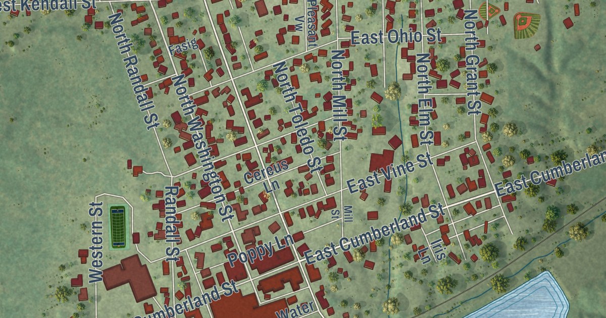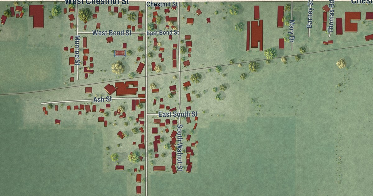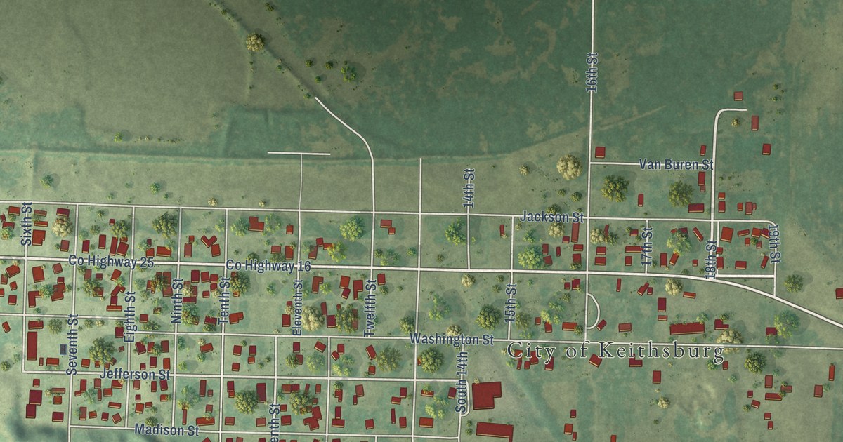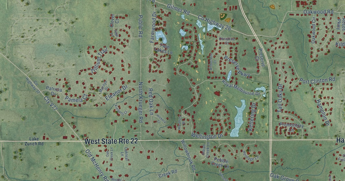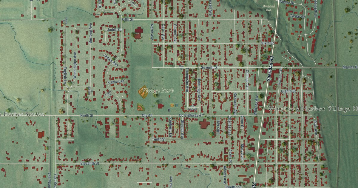
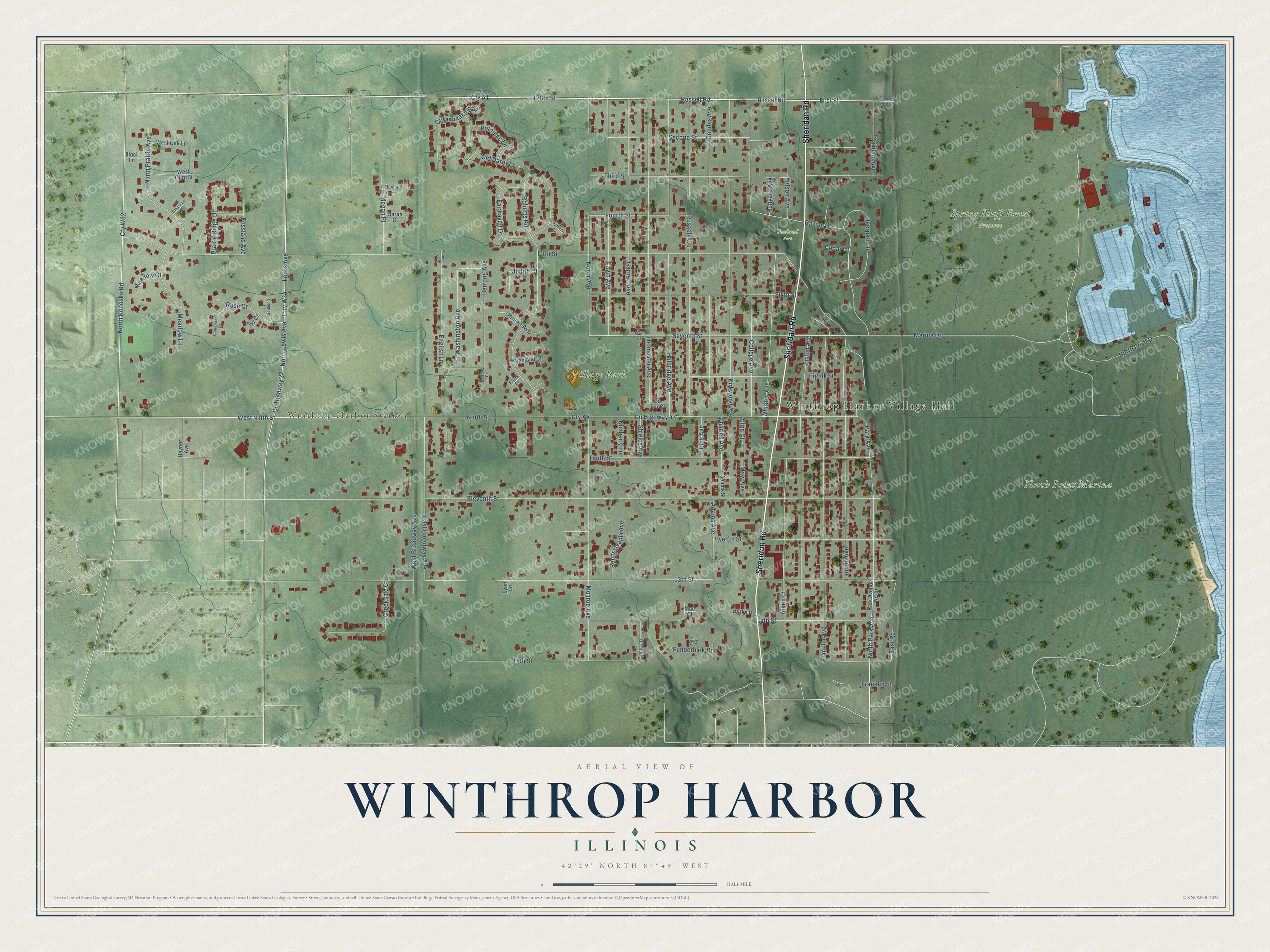
This beautifully detailed map of Winthrop Harbor, Illinois was created in 2026 using aerial imagery combined with modern topographical, census, street and landmark data. It’s a one-of-a-kind view of Winthrop Harbor that combines accurate data with a vintage aesthetic. The map shows every building in its true location, many of the roads carry their names, and the shaded topographic relief shows the shape of the land.
Explore an aerial view of Winthrop Harbor, Illinois
On the map you’ll find Winthrop Harbor Village Hall, Winthrop Harbor Station, North Point Marina, Spring Bluff Forest Preserve, Village Park, Fossland Park, and Cty A1, along with Sheridan Road, 128th Street, Russel Road, Russell Road, Seventh Street, and more. If you look closely you can even find your house accurately drawn in its correct location. Zoom in on the preview to look for yours.
Did you know this about Winthrop Harbor, Illinois?
From the Historic American Buildings Survey: "As World War I approached, Winthrop Harbor’s growth flourished as industries continued to move to the Village."
Take a closer look at the Winthrop Harbor map
Street and place names on the Winthrop Harbor, Illinois map
These names are printed on the map of Winthrop Harbor, Illinois.
Places: Winthrop Harbor Village Hall, Winthrop Harbor Station, North Point Marina, Spring Bluff Forest Preserve, Village Park and Fossland Park.
Streets and roads: Sheridan Road, 128th Street, Russel Road, Russell Road, Cty A1, Seventh Street, North Avenue, Fourth Street, North Park Avenue, City W34, North Lewis Avenue, Fifth Street.
More street names, A to Z
13th Street, 14th Street, 15th Street, Adams Avenue, Adams Street, Aiken Court, Alton Court, April Lane, Ben Court, Berrong Avenue, Berrong Court, Block Lane, Burke Drive, Cavin Avenue, Cedar Court, Charles Avenue, Chatham Cv, Chesapeake Bay, Clearview Court, College Avenue, Compton Court, Cornerstone Drive, County Highway 27, County Highway 47, Creekside Court, Cty A4, Cty W32, Deerpath Drive, East Broadway Avenue, East Road, Eighth Street, Eleventh Street, Ellis Avenue, English Lane, Fairhaven Drive, First Street, Fossland Avenue, Franklin Avenue, Franklin Street, Frans Court, Fulton Avenue, Funderburk Drive, Future Street, Garnett Avenue, Geddes Avenue, Hayner Avenue, Highland Court, Holdridge Avenue, Ivy Court, Ja Lor Court, James Avenue, Judith Court, Kimberly Lane, Kirkwood Avenue, Landon Avenue, Lewis Avenue, Lynn Lane, Mae Court, Main Street, Marina Drive, Mary Avenue, Meadow Court, Meadow Lane, Megan Place, Monroe Avenue, Ninth Street, North Kenosha Road, North Point Drive, North Prairie Avenue, Oakdale Avenue, Old Darby Lane, Park Avenue, Park Avenue North, Pennsylvania Avenue, Potomac Lane, Prairie Ridge Drive, Rachael Court, Ravine Drive, Roberts Road, Rose Court, Runyard Avenue, Russell Avenue, Sarah Court, Second Street, Shields Avenue, Sixth Street, Tenth Street, Third Street, Thompson Avenue, Twelfth Street, Washington Avenue, West Broadway Avenue, West Ninth Street, West Oak Lane, West State Line Road, West Third Street, Whitney Avenue, Wilson Avenue.
See the Winthrop Harbor, Illinois map on a wall
The Winthrop Harbor map as an 18 x 24 inch print in a black frame.

This beautifully detailed map of Winthrop Harbor makes an attractive addition to your office, library, or den, and it can even be used to teach children the geography and history of the area. It also makes a great gift for anyone with Winthrop Harbor roots. When you’re done exploring, click here to get your copy of the Winthrop Harbor map.