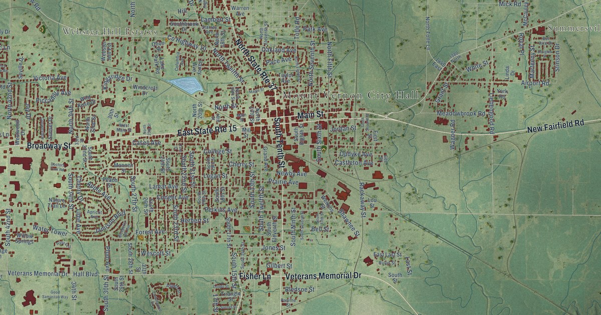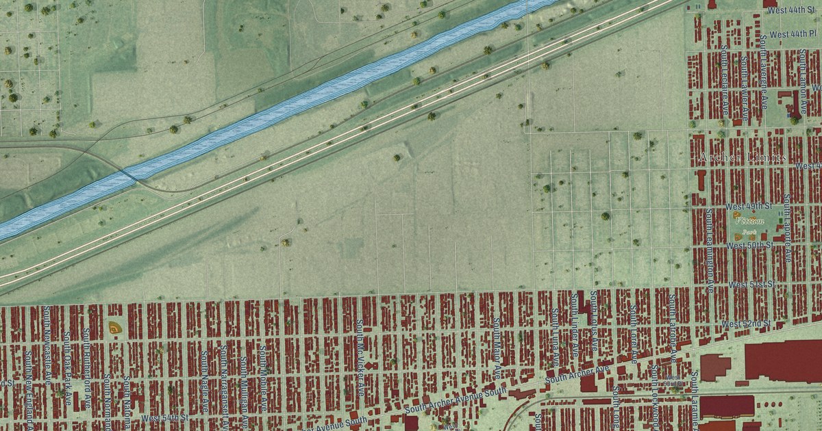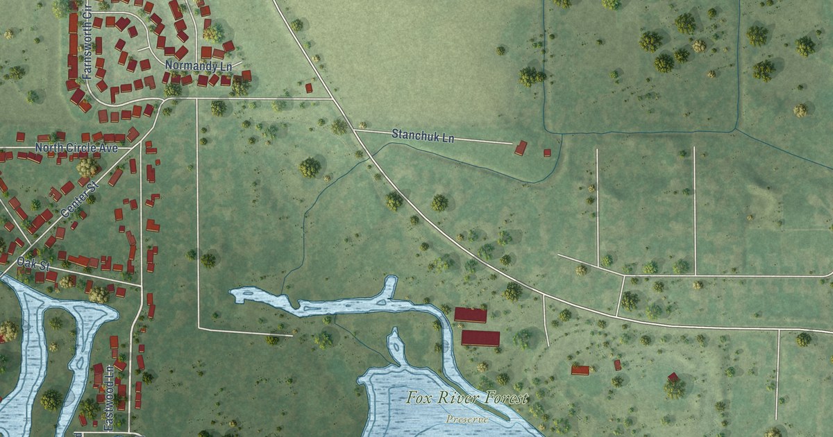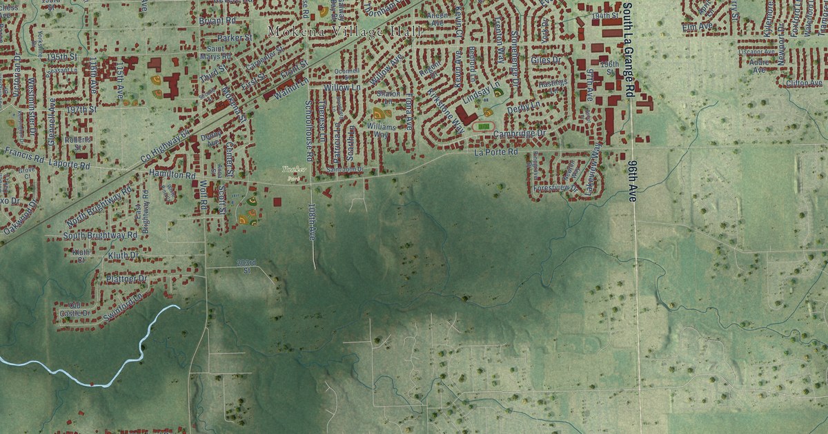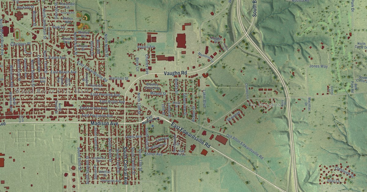
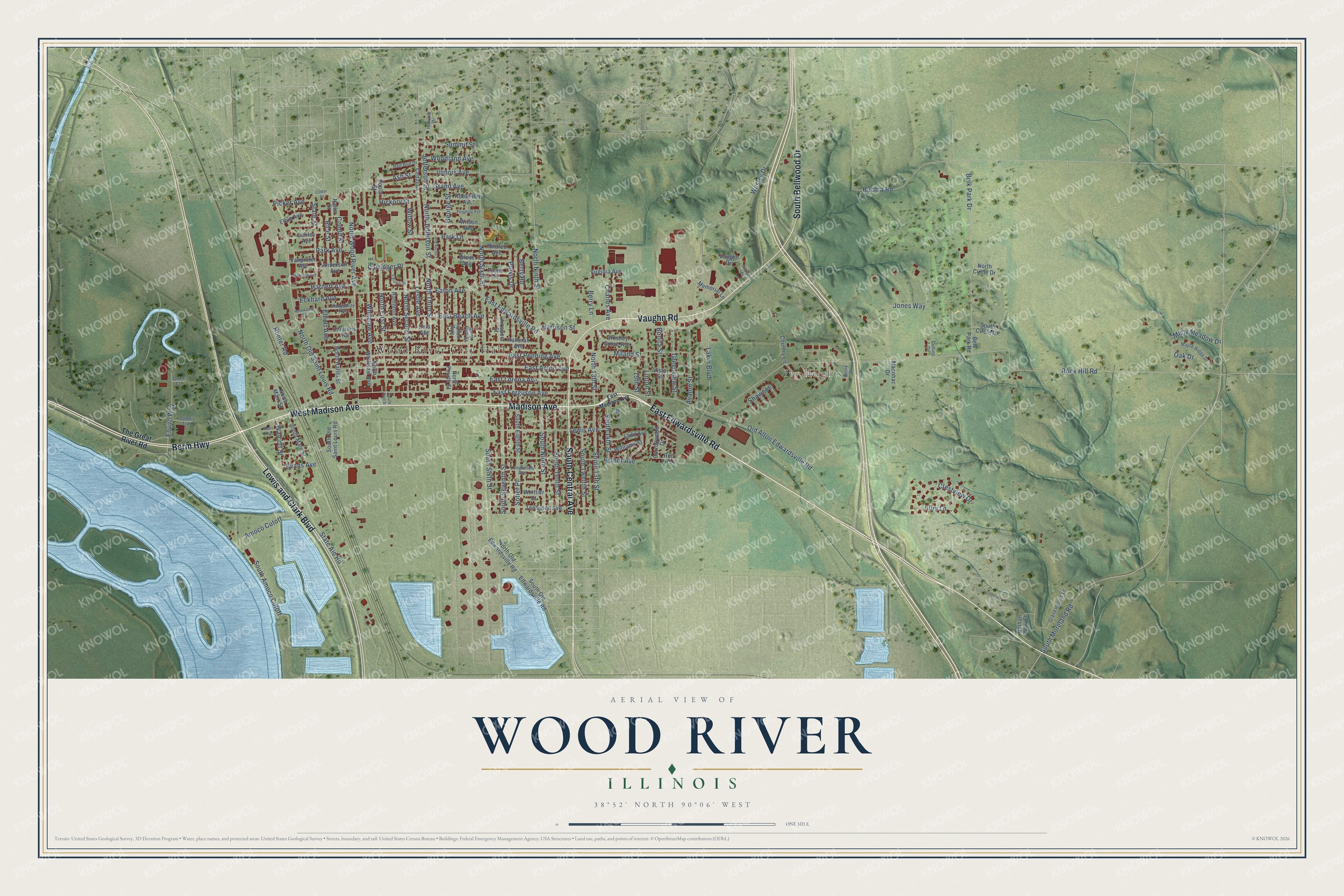
This beautifully detailed map of Wood River, Illinois was created in 2026 using aerial imagery combined with modern topographical, census, street and landmark data. It’s a one-of-a-kind view of Wood River that combines accurate data with a vintage aesthetic. The map shows every building in its true location, many of the roads carry their names, and the shaded topographic relief shows the shape of the land.
Explore an aerial view of Wood River, Illinois
On the map you’ll find Wood River City Hall and Ivy Heights, along with East Edwardsville Road, Madison Avenue, South Central Avenue, West Madison Avenue, Berm Highway, Vaughn Road, Lewis and Clark Boulevard, South Bellwood Drive, North Old Saint Louis Road, North Wood River Avenue, and more. If you look closely you can even find your house accurately drawn in its correct location. Zoom in on the preview to look for yours.
Did you know this about Wood River, Illinois?
From the Historical Marker Database: "At Camp River Dubois Lewis and Clark gathered supplies, compiled information and trained their men."
Take a closer look at the Wood River map
Street and place names on the Wood River, Illinois map
These names are printed on the map of Wood River, Illinois.
Places: Wood River City Hall and Ivy Heights.
Streets and roads: East Edwardsville Road, Madison Avenue, South Central Avenue, West Madison Avenue, Berm Highway, Vaughn Road, Lewis and Clark Boulevard, South Bellwood Drive, North Old Saint Louis Road, North Wood River Avenue, South 13th Street, North 13th Street.
More street names, A to Z
15th Street, Amoco Cutoff, Anderson Avenue, Ash Street, Avalon Street, Belk Park Drive, Belk Park Road, Berry Drive, Berry Lane, Berry Road, Bonita Street, Brushey Grove Avenue, Buchta Road, Carringer Place, Carrollwood Drive, Carstens Avenue, Cedar Drive, Charles Avenue, Collins Drive, Condit Street, Conley Avenue, Cotter Street, Country Lane, Crestview Drive, Dubois Trail, East Acton Avenue, East Beach Avenue, East Ferguson Avenue, East Lorena Avenue, East Madison Avenue, East Penning Avenue, Eaton Avenue, Eckhard Avenue, Edlawn Street, Elble Avenue, Elliott Avenue, Enviro Way, Esther Avenue, Eula Avenue, Evans Avenue, George Street, Grand Avenue, Grand Rapids Lane, Greenview Street, Grove Avenue, Haller Street, Halloran Avenue, Hamilton Avenue, Harnett Avenue, Harrison Street, Helmkamp Drive, Hickory Street, Hillview Drive, Illini Lane, Illinois Avenue, Jackson Drive, Jefferson Street, Jones Way, Ladd Avenue, Lakin Boulevard, Leslie Avenue, Lewis Avenue, Lincoln Avenue, Linton Street, Longfellow Avenue, Macnhac Drive, Manning Avenue, Maple Ridge Drive, Marguerite Avenue, Memorial Lane, Miland Street, Mildred Avenue, Misty Meadow Drive, Nathan Way Court, North Circle Drive, North Fifth Street, North First Street, North Fourth Street, North Haller Street, North Jefferson Street, North Main Street, North Ninth Street, North Old Edwardsville Road, North Second Street, North Sixth Street, North Third Street, North Whitelaw Avenue, Oak Drive, Old Alton Edwardsville Road, Park Avenue, Park Lane, Payne Street, Pershing Avenue, Picker Avenue, Poplar Street, Prospect Street, Purvis Drive, Red Bud Drive, Red Fir Lane, Rice Street, Rock Hill Road, Roosevelt Avenue, Rueter Road, Shawnee, Short Avenue, Smith Court, Sotier Place, South 14th Street, South Amoco Cutoff, South Circle Drive, South Eighth Street, South First Street, South Main Street, South Moreland Road, South Ninth Street, South Old Edwardsville Road, South Old Saint Louis Road, South Seventh Street, South Sixth Street, South Tenth Street, South Twelfth Street, State Aid Road, State Street, Summit Street, Tennyson Avenue, The Great River Road, Tipton Avenue, Vanpreter Avenue, Vaughn Drive, Virginia Avenue, Vista Street, Walcott Street, Wesley Drive, Whitelaw Avenue, Whittier Street, Williams Street, Willow Street, Wilson Avenue, Woodland Avenue.
See the Wood River, Illinois map on a wall
The Wood River map as an 18 x 24 inch print in a black frame.

This beautifully detailed map of Wood River makes an attractive addition to your office, library, or den, and it can even be used to teach children the geography and history of the area. It also makes a great gift for anyone who grew up in Wood River or moved away. When you’re done exploring, click here to get your copy of the Wood River map.