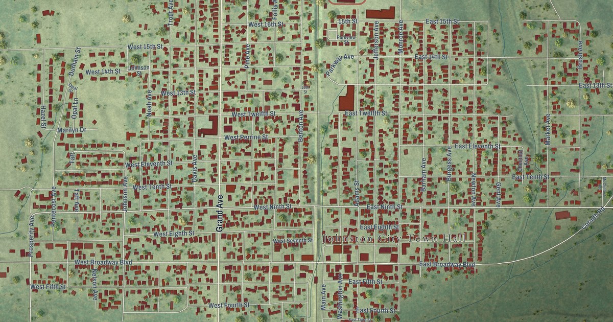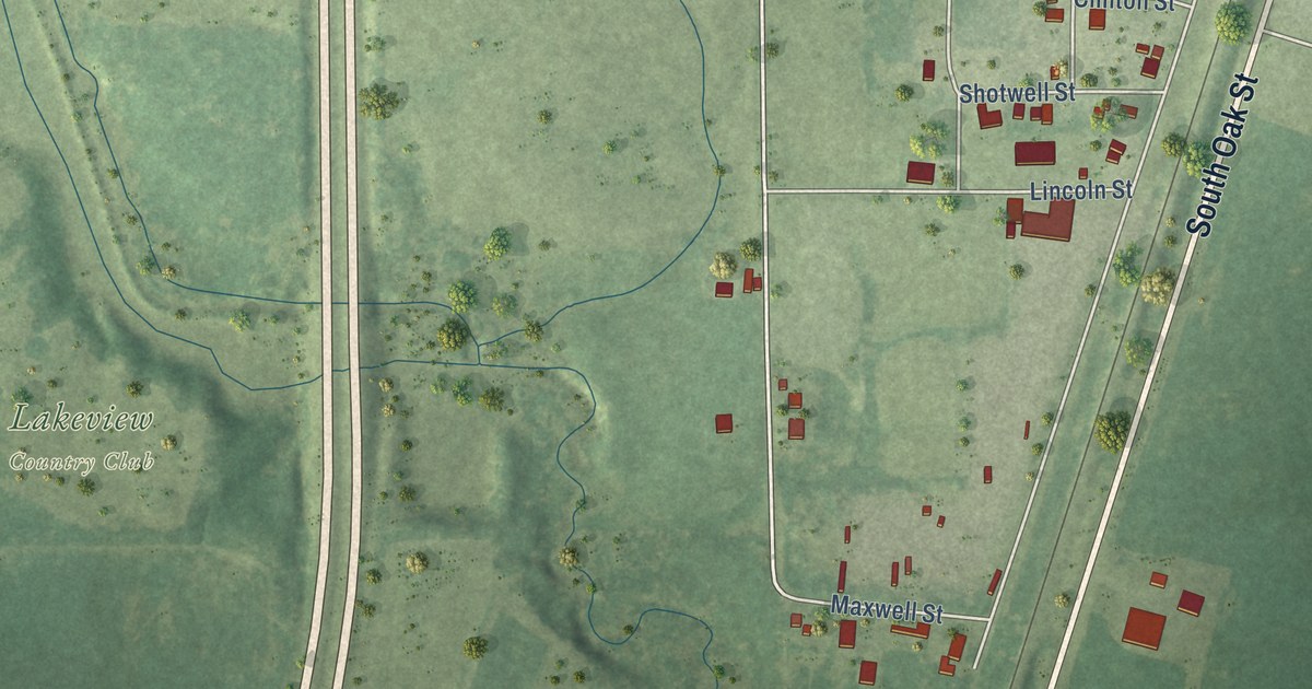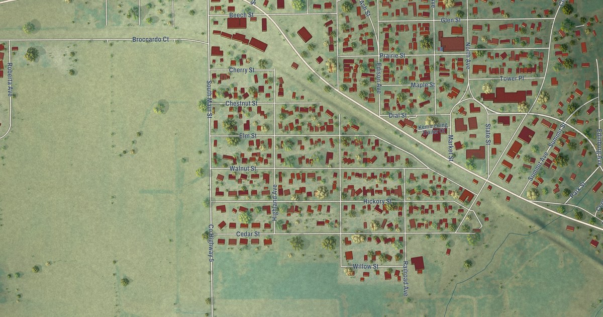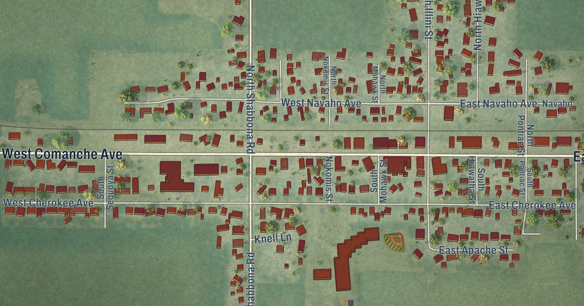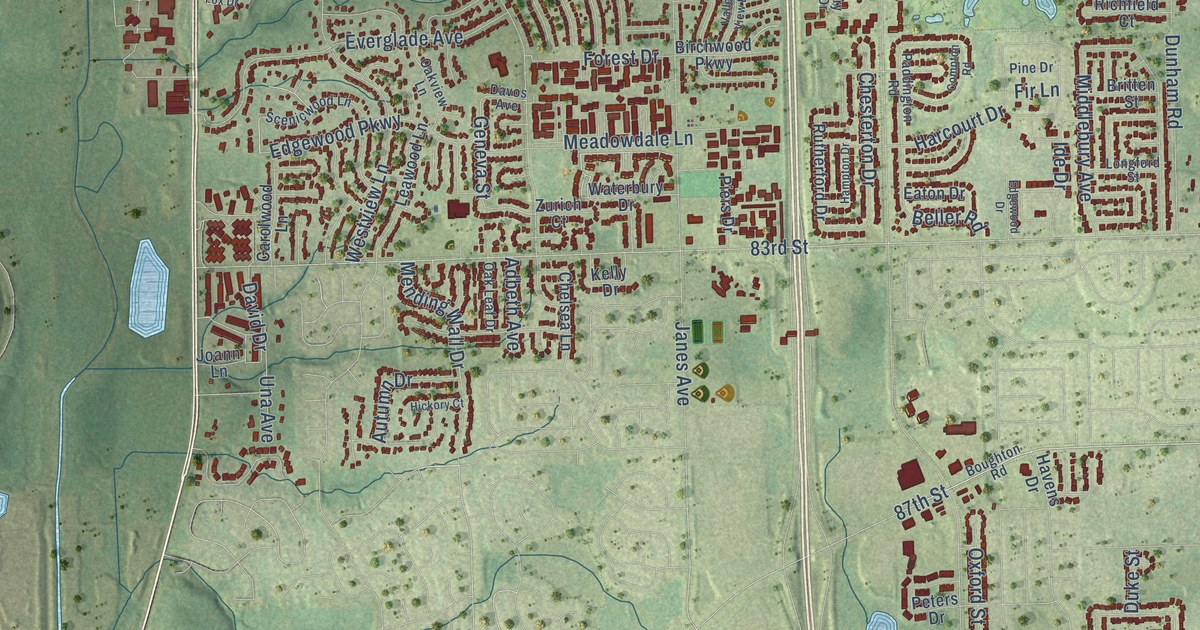
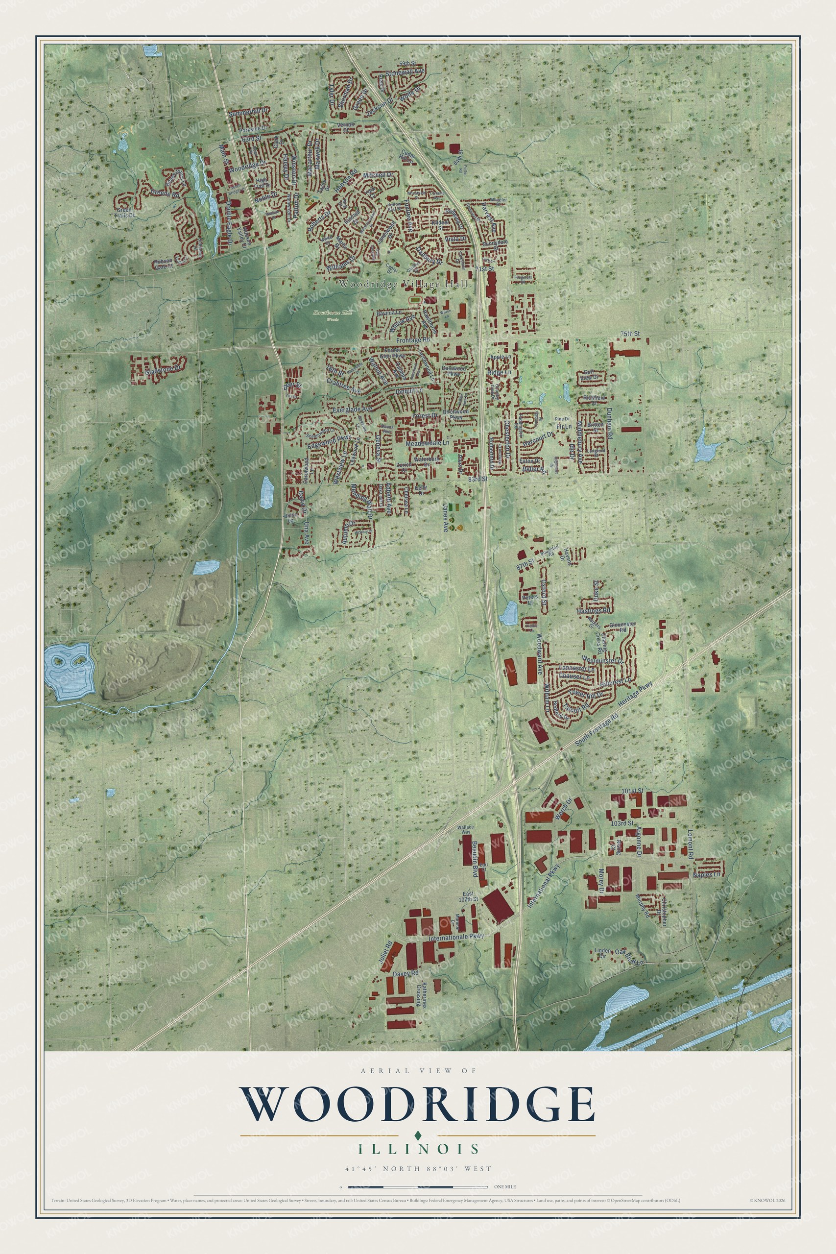
This beautifully detailed map of Woodridge, Illinois was created in 2026 using aerial imagery combined with modern topographical, census, street and landmark data. It’s a one-of-a-kind view of Woodridge that combines accurate data with a vintage aesthetic. The map shows every building in its true location, many of the roads carry their names, and the shaded topographic relief shows the shape of the land.
Explore an aerial view of Woodridge, Illinois
On the map you’ll find Woodridge Village Hall and Hawthorne Hill Woods, along with Internationale Parkway, 87th Street, Witham Lane, Tower Hill Drive, 83rd Street, 63rd Street, Lemont Road, Walnut Avenue, Geneva Street, Woodward Avenue, and more. If you look closely you can even find your house accurately drawn in its correct location. Zoom in on the preview to look for yours.
Did you know this piece of Woodridge, Illinois history?
From the Village of Woodridge: "Woodridge was incorporated on August 24, 1959, with less than 500 residents, on a wooded area of high ground overlooking the DuPage River's East Branch."
Take a closer look at the Woodridge map
Street and place names on the Woodridge, Illinois map
These names are printed on the map of Woodridge, Illinois.
Places: Woodridge Village Hall and Hawthorne Hill Woods.
Streets and roads: Internationale Parkway, 87th Street, Witham Lane, Tower Hill Drive, 83rd Street, 63rd Street, Lemont Road, Walnut Avenue, Geneva Street, Woodward Avenue, 75th Street, Woodridge Drive.
More street names, A to Z
59th Street, 64th Street, 71st Street, 76th Street, 101st Street, 103rd Street, Adbeth Avenue, Apple Lane, Argonne Drive, Autumn Drive, Beaudin Boulevard, Bedford Drive, Beller Road, Birchwood Parkway, Bobby Jones Lane, Boughton Road, Britten Street, Carlton Drive, Carolwood Lane, Catalpa Avenue, Cedar Hill Lane, Center Drive, Charing Cross Road, Chauser Lane, Chelsea Lane, Chesterton Drive, Christopher Drive, Clark Drive, Compton Road, Country Club Drive, Crabtree Avenue, Dalewood Parkway, Danbury Drive, Davey Road, David Drive, Davos Avenue, Dean Drive, Deerfield Avenue, Deer Street, Didrikson Lane, Double Eagle Drive, Duke Street, Dunham Road, Earl Court, East 107th Street, Eaton Drive, Edgewood Drive, Edgewood Parkway, Everglade Avenue, Fir Lane, Fitzgerald Road, Forest Drive, Forest Glen Parkway, Fox Drive, Foxtree Avenue, Frontage Road, Gladstone Drive, Gloucester Road, Golf View Drive, Green Drive, Greene Road, Greenleaf Street, Green Trails Drive, Halsey Drive, Hampton Drive, Harcourt Drive, Harvest Avenue, Hastings Road, Havens Drive, Hawthorne Avenue, Heritage Parkway, Hickory Court, High Trail Drive, Hillcrest Lane, Hillside Court, Hobson Gate Court, Hobson Road, Hobson Valley Drive, Ide Drive, International Parkway, Jackson Drive, Janes Avenue, Janeswood Drive, Joann Lane, Joliet Road, Jonquil Lane, Katherines Crossing, Kelly Drive, Kildeer Street, Kincaid Drive, King Court, Lancaster Lane, Larchwood Lane, Leawood Lane, Linden Circle, Longford Street, Lorraine Avenue, Macarthur Drive, Main Street, Marmon Drive, Martin Drive, Maxwell Drive, Meadowdale Lane, Mending Wall Drive, Middlebury Avenue, Mitchell Drive, Morey Drive, Murphy Road, Naples Lane, Noble Drive, Oak Bluff Lane, Oak Leaf Drive, Oakview Lane, Oxford Street, Paddington Road, Park Lane, Parkside Drive, Patton Drive, Peters Drive, Piers Drive, Pine Drive, Prairie Lane, Puffer Road, Ravinia Lane, Redwing Drive, Richfield Court, Ridge Lane, Rising Court, Roberts Drive, Ross Drive, Rutgers Drive, Rutherford Drive, Scenicwood Lane, Seven Bridges Drive, Sherman Drive, South Frontage Road, Stonewall Avenue, Summerhill Drive, Sun Drop Avenue, Sunnydale Street, Talcott Road, Taylor Drive, Tyler Drive, Una Avenue, Valley View Lane, Vardon Court, Vernon Court, Vista Drive, Wainwright Drive, Wallace Way, Waterbury Drive, Werch Drive, Westminster Drive, Westmoreland Drive, Westview Lane, Wheatfield Street, Wheeler Street, White Drive, Williams Drive, Willow Avenue, Wilton Lane, Winston Drive, Wolfe Drive, Woodview Drive, Yellow Star Street, York Court, Yorkshire Drive, Zurich Court.
See the Woodridge, Illinois map on a wall
The Woodridge map as an 18 x 24 inch print in a black frame.

This beautifully detailed map of Woodridge makes an attractive addition to your office, library, or den, and it can even be used to teach children the geography and history of the area. It also makes a great gift for someone who left Woodridge and still calls it home. When you’re done exploring, click here to get your copy of the Woodridge map.