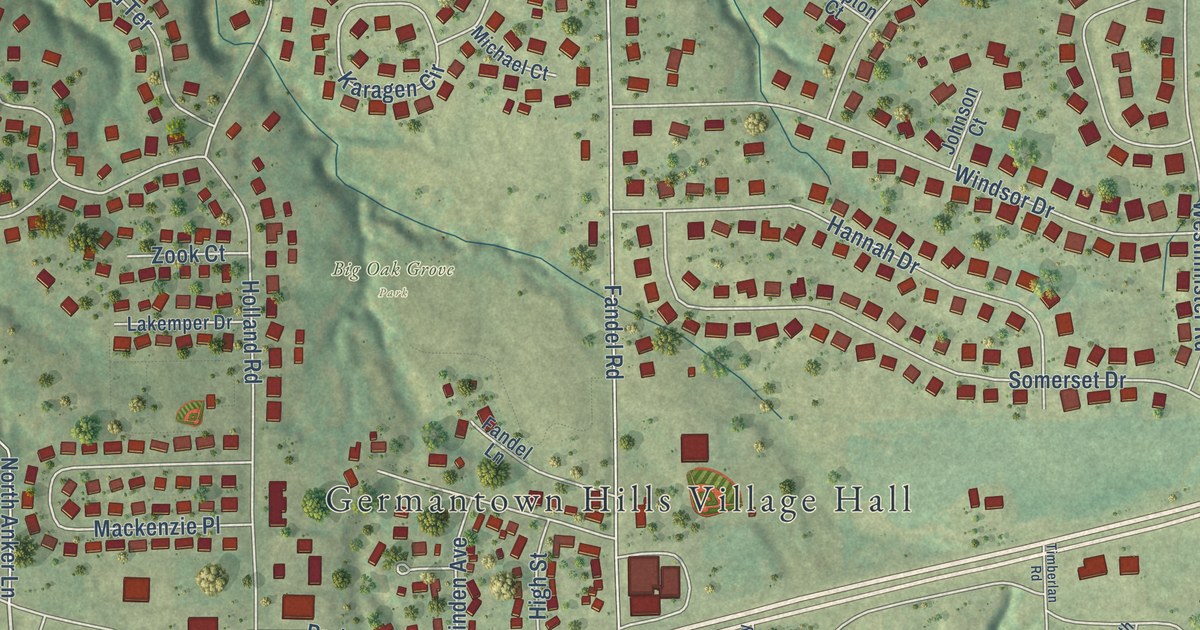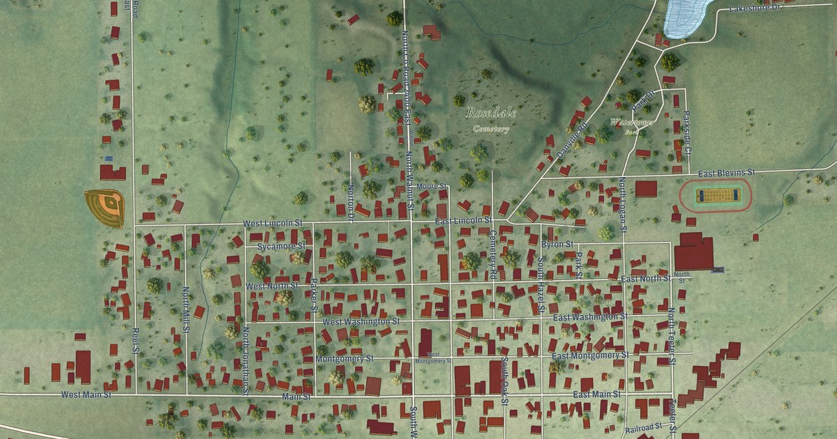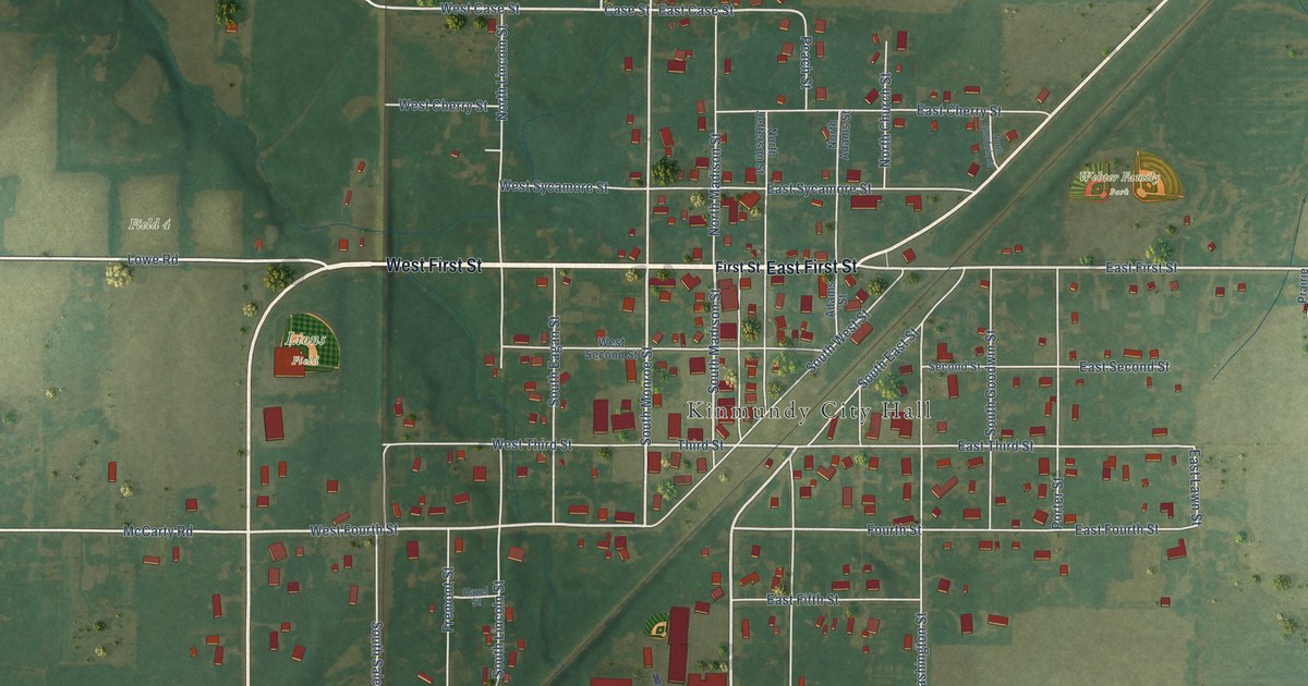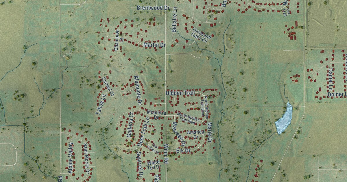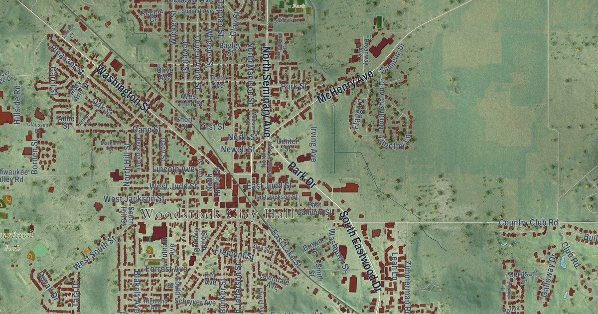
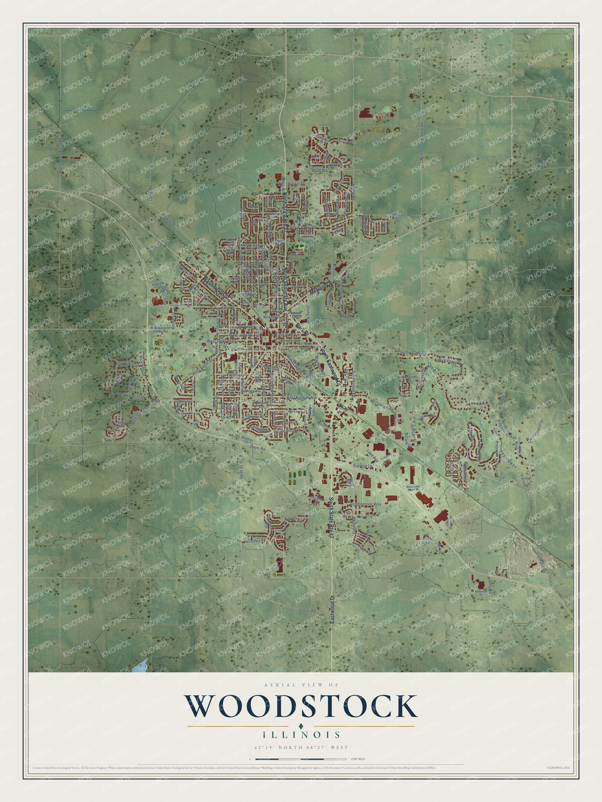
This beautifully detailed map of Woodstock, Illinois was created in 2026 using aerial imagery combined with modern topographical, census, street and landmark data. It’s a one-of-a-kind view of Woodstock that combines accurate data with a vintage aesthetic. The map shows every building in its true location, many of the roads carry their names, and the shaded topographic relief shows the shape of the land.
Explore an aerial view of Woodstock, Illinois
On the map you’ll find Woodstock City Hall, Bates Park, and Emricson Park, along with Park Drive, South Eastwood Drive, Eastwood Drive, North Seminary Avenue, Washington Street, McHenry Avenue, Country Club Road, North Madison Street, Washburn Street, and more. If you look closely you can even find your house accurately drawn in its correct location. Zoom in on the preview to look for yours.
Did you know this about Woodstock, Illinois?
From the Historical Encyclopedia of Illinois: "WOODSTOCK, the county-seat of McHenry County, situated on the Chicago & Northwestern Railway, about 51 miles northwest of Chicago and 32 miles east of Rockford."
Take a closer look at the Woodstock map
Street and place names on the Woodstock, Illinois map
These names are printed on the map of Woodstock, Illinois.
Places: Woodstock City Hall, Bates Park and Emricson Park.
Streets and roads: South State Route 47, Park Drive, South Eastwood Drive, North State Route 47, Eastwood Drive, North Seminary Avenue, Washington Street, McHenry Avenue, Country Club Road, North Madison Street, Washburn Street, Wheeler Street.
More street names, A to Z
Airway Drive, Anne Street, Applewood Lane, Arthur Drive, Ash, Ash Avenue, Aspen Drive, Bach Court, Bagley Street, Banford Road, Barbary Lane, Becking Avenue, Belaire Lane, Berltsum Lane, Birch Road, Blakely Avenue, Blakely Street, Bloomfield Drive, Bobolink Circle, Borden Street, Boulder Lane, Braeburn Way, Bridge Lane, Broadway Avenue, Brown Street, Bull Valley Drive, Bunker Street, Burbank Avenue, Cairns Court, Carol Street, Castlebar Trail, Castle Road, Catalpa Lane, Center Street, Claussen Drive, Clay Street, Club Road, Cobblestone Way, Commons Drive, Cord Grass Trail, Courtauld Drive, Dacy Street, Dakota Drive, Dane Street, Davis Road, Dean Street, Dieckman Street, Dillard Court, Doty Road, Duncan Place, Duvall Drive, East Calhoun Street, East Jackson Street, East Judd Street, East Kimball Avenue, East Lake Street, East Longwood Drive, Edgewood Drive, Fairview Circle, Fairview Lane, Fieldstone Drive, First Street, Flagg Lane, Forrest Avenue, Fox Sedge Trail, Fremont Street, Galloway Drive, Gerry Street, Ginny Lane, Golden Avenue, Gould Street, Greenview Drive, Greenwood Circle, Halma Lane, Handel Lane, Harding Lane, Harrow Gate Drive, Haydn Street, Hercules Road, Heron Way, Highland Avenue, Hillcrest Road, Hillside Road, Hoy Avenue, Indigo Lane, Irving Avenue, Jewett Street, Joseph Street, Julie Street, Kildeer Drive, Kilkenny Court, Kishwaukee Valley Road, Lake Avenue, Lake Shore Drive, Lamb Road, Laurel Avenue, Lawndale Avenue, Leah Lane, Lily Pond Road, Lincoln Avenue, Lorr Drive, Lucas Road, Madison Street, Maple Avenue, Margaret Drive, Mary Ann Street, McConnell Road, Meadow Avenue, Memorial Drive, Mitchell Street, Morraine Drive, Muriel Street, Newell Street, North Hill Street, North Queen Anne Road, North Rose Farm Road, North Sharon Drive, North Street, North Throop Street, Northwood Lane, Oakmont Drive, Oak Street, Oakview Terrace, Olive Avenue, Park Street, Pleasant Street, Pond Point Road, Poplar Lane, Powers Road, Prairie Ridge Drive, Preswick Lane, Putnam Avenue, Quail Court, Queen Anne Street, Raffel Road, Redtail Lane, Redwing Drive, Regina Court, Ridgemoor Trail, Ridgewood Drive, Robert Drive, Roger Road, Russel Court, Ryan Court, Saint Johns Road, Savanna Lane, Schryver Avenue, Schubert Street, Schuette Drive, Serene Trail, Serenity Lane, Sheila Street, Short Street, Silver Creek Road, Smith Street, South Hill Street, South Jefferson Street, South Tryon Street, Southview Drive, Springcreek Lane, Springwood Drive, Stone Lake Road, Summit Avenue, Sunset Ridge Drive, Sweetwater Drive, Tanager Drive, Tappan Street, Tara Drive, Terry Court, Teton Drive, Timothy Lane, Todd Avenue, Tryon Street, Twelve Oaks Parkway, Verbena Lane, Verdi Street, Vine Street, Vivaldi Street, Wagner Lane, Walden Oaks Drive, Walnut Drive, Wanda Lane, Ware Road, West Jackson Street, West Judd Street, West Lake Shore Drive, West Longwood Drive, West South Street, West South Street Road, West Third Street, Westwood Trail, Wicker Street, Winslow Avenue, Wood Drive, Woodside Drive, Zimmerman Road.
See the Woodstock, Illinois map on a wall
The Woodstock map as an 18 x 24 inch print in a black frame.

This beautifully detailed map of Woodstock makes an attractive addition to your office, library, or den, and it can even be used to teach children the geography and history of the area. It also makes a great gift for someone who left Woodstock and still calls it home. When you’re done exploring, click here to get your copy of the Woodstock map.