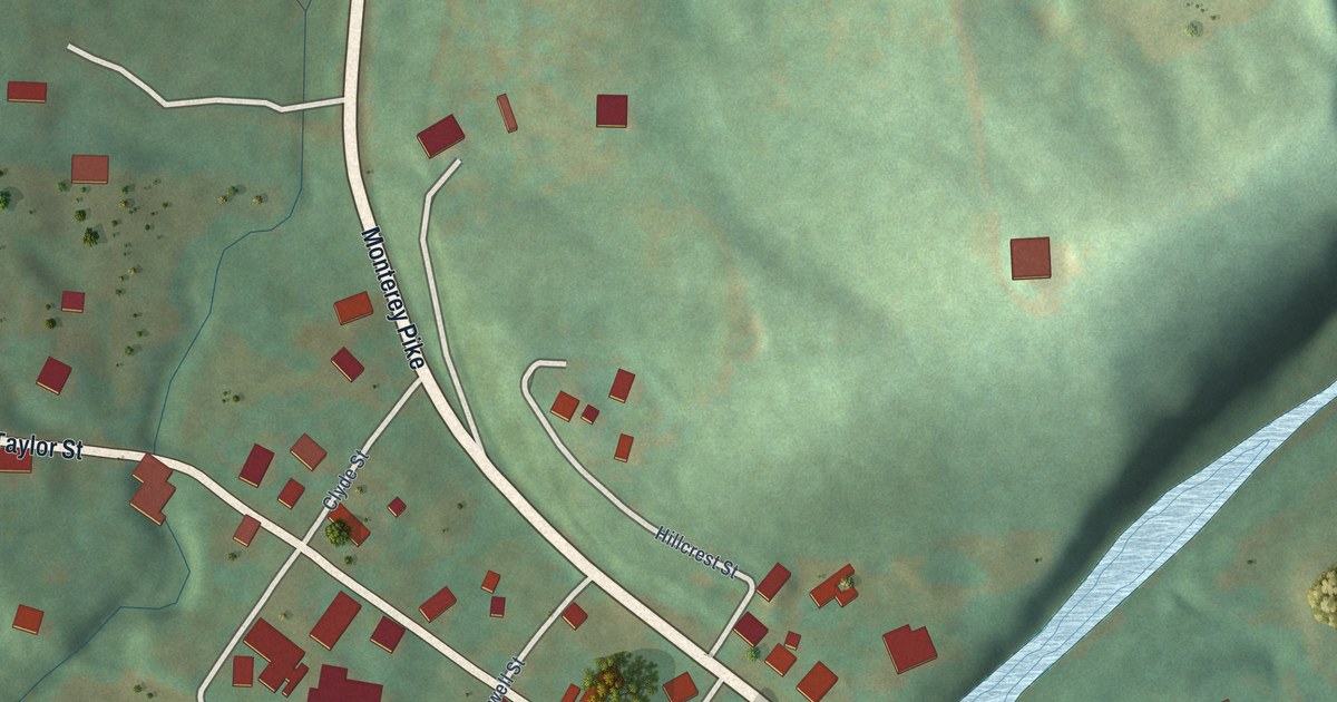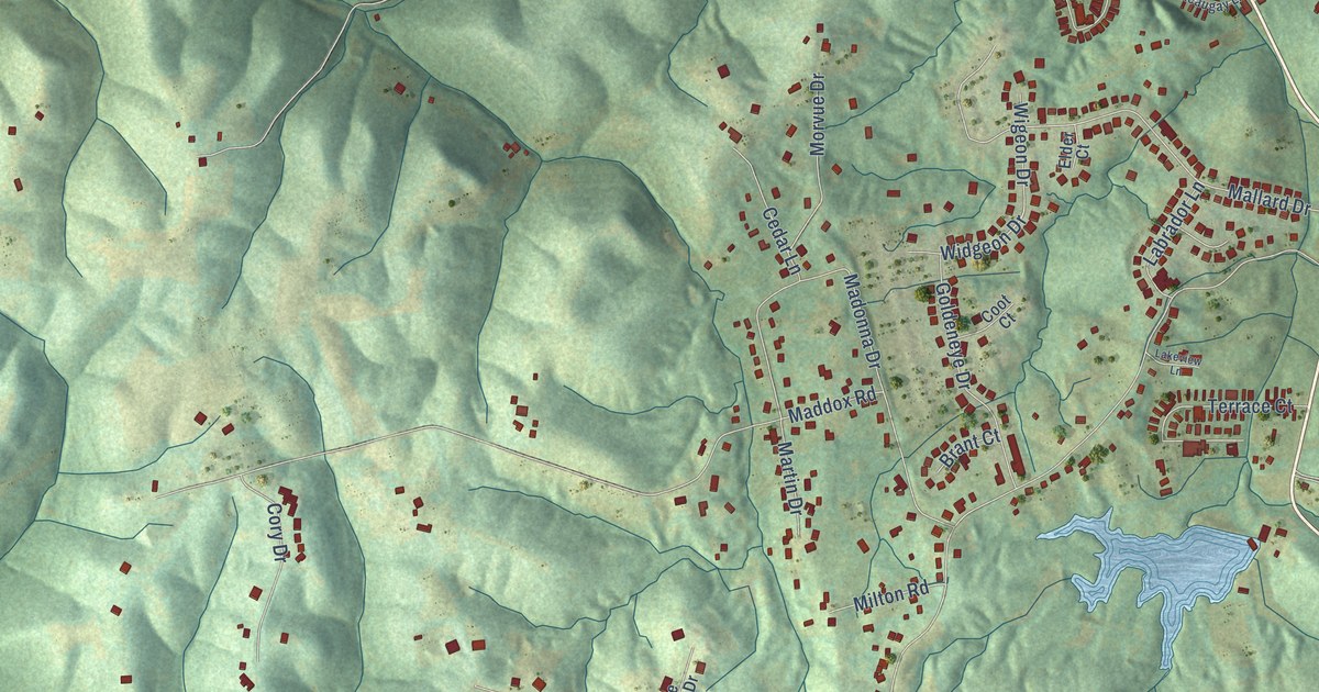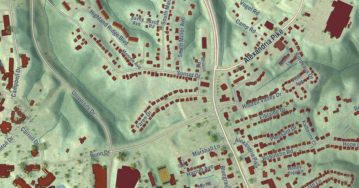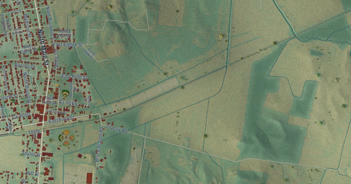
This beautifully detailed map of Beaver Dam, Kentucky was created in 2026 using aerial imagery combined with modern topographical, census, street and landmark data. It’s a one-of-a-kind view of Beaver Dam that combines accurate data with a vintage aesthetic. The map shows every building in its true location, many of the roads carry their names, and the shaded topographic relief shows the shape of the land.
Explore an aerial view of Beaver Dam, Kentucky
On the map you’ll find South Main Street, Louisville Road, North Main Street, West First Street, Rochester Road, Madison Street, East First Street, West Seventh Street, Barnes Drive, Thompson Drive, 13th Street, North Broad Street, and more. If you look closely you can even find your house accurately drawn in its correct location. Zoom in on the preview to look for yours.
Did you know this piece of Beaver Dam, Kentucky history?
From the Kentucky Historical Society: "Named for an unusually large dam made by beavers across a nearby stream. First settlers came in 1798 and founded the first Baptist Church here, in year Ohio County formed."
Take a closer look at the Beaver Dam map
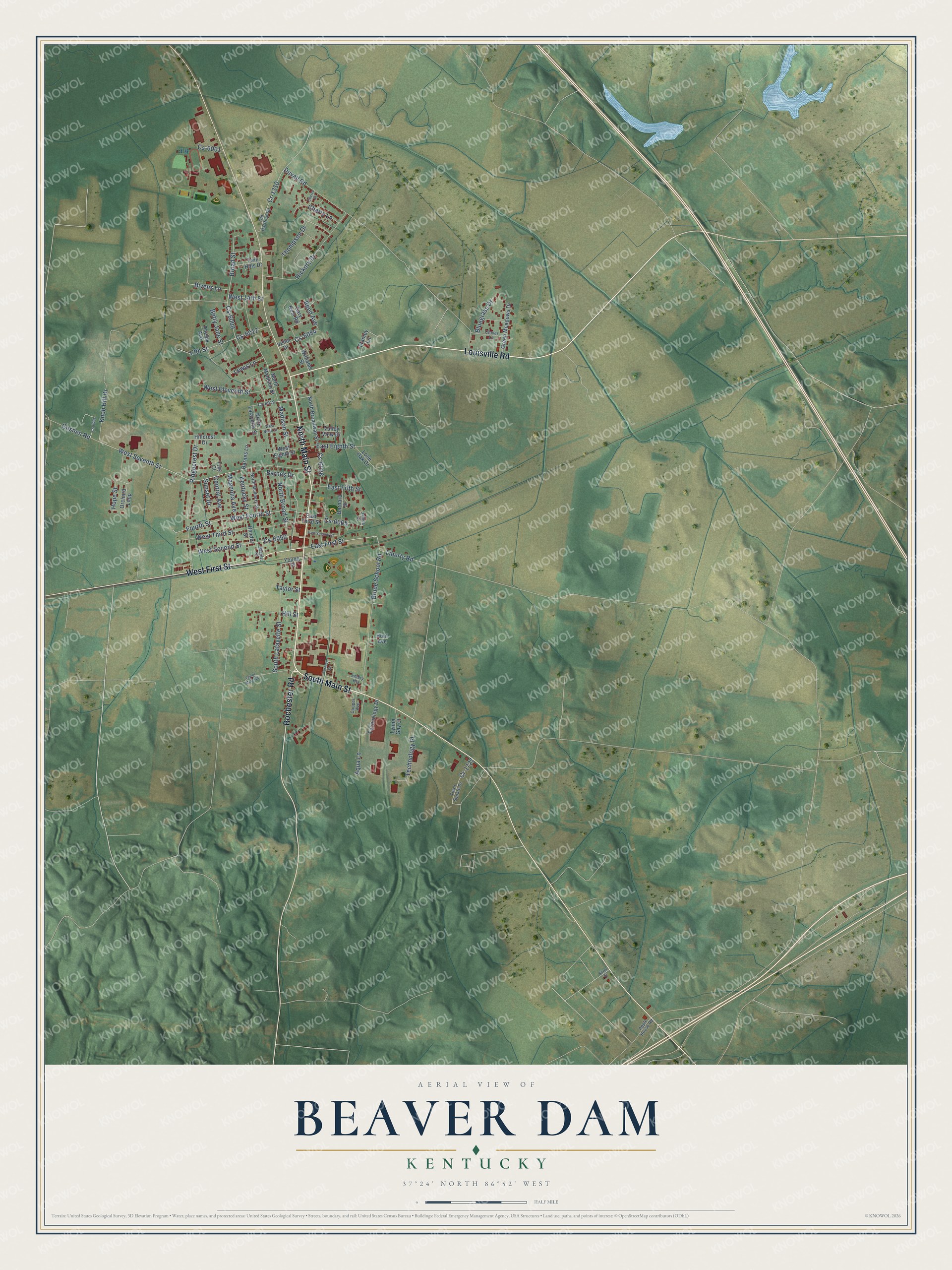
Street names on the Beaver Dam, Kentucky map
These names are printed on the map of Beaver Dam, Kentucky.
Streets and roads: South Main Street, Louisville Road, North Main Street, West First Street, Rochester Road, Madison Street, East First Street, West Seventh Street, Barnes Drive, Thompson Drive, 13th Street, North Broad Street.
More street names, A to Z
Apple House Road, Aqua Lane, Barnard Street, Barnes Lane, Betty Jane Street, Bivens Lane, Bluegrass Drive, Broad Street, Bruce School Road, Central Avenue, Cherry Lane, Cherry Street, Clover Lane, Cooper Avenue, Cr-1310, Cr-1727, Cs-6001, Cs-6009, Cs-6012, Cs-6019, Cs-6028, Cs-6050, Cs-6065, Cs-6084, Cs-6098, Duvall Road, East Eighth Street, East Fifth Street, East Second Street, East Third Street, Embry Heights, Fourth Street, Gary Neal Road, Goshen Road, Green Meadows Drive, Hickory Drive, Hillcrest Drive, Hill Street, Hope Street, Hunt Avenue, James Court, Kentucky Street, Knob Hill Drive, Lewis Lane, Liberty Road, Lone Oak Drive, Lynne Gay Court, Magnolia Avenue, Maple Street, North Broadway Street, North Lafayette Street, North Madison Street, North Mulberry Street, Old Hartford Road, Orchard Loop, Phelps Avenue, Reed Avenue, Render Street, Ridgecrest Drive, Silver Street, South Lafayette Street, Stanley Lane, Sunset Drive, Taylor Mine Road, Taylor Street, Technology Drive, Technology Place, Terrace Drive, Town Square Drive, Trey Court, Twin Hills Drive, Valley View Drive, Veller Drive, West 14th Street, West Eighth Street, West Eleventh Street, West Fourth Street, West Ninth Street, West Second Street, West Third Street, Williams Street, Young Street.
See the Beaver Dam, Kentucky map on a wall
The Beaver Dam map as an 18 x 24 inch print in a black frame.

This beautifully detailed map of Beaver Dam makes an attractive addition to your office, library, or den, and it can even be used to teach children the geography and history of the area. It also makes a great gift for anyone with Beaver Dam roots. When you’re done exploring, click here to get your copy of the Beaver Dam map.