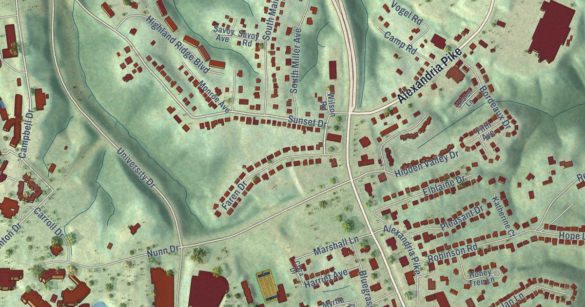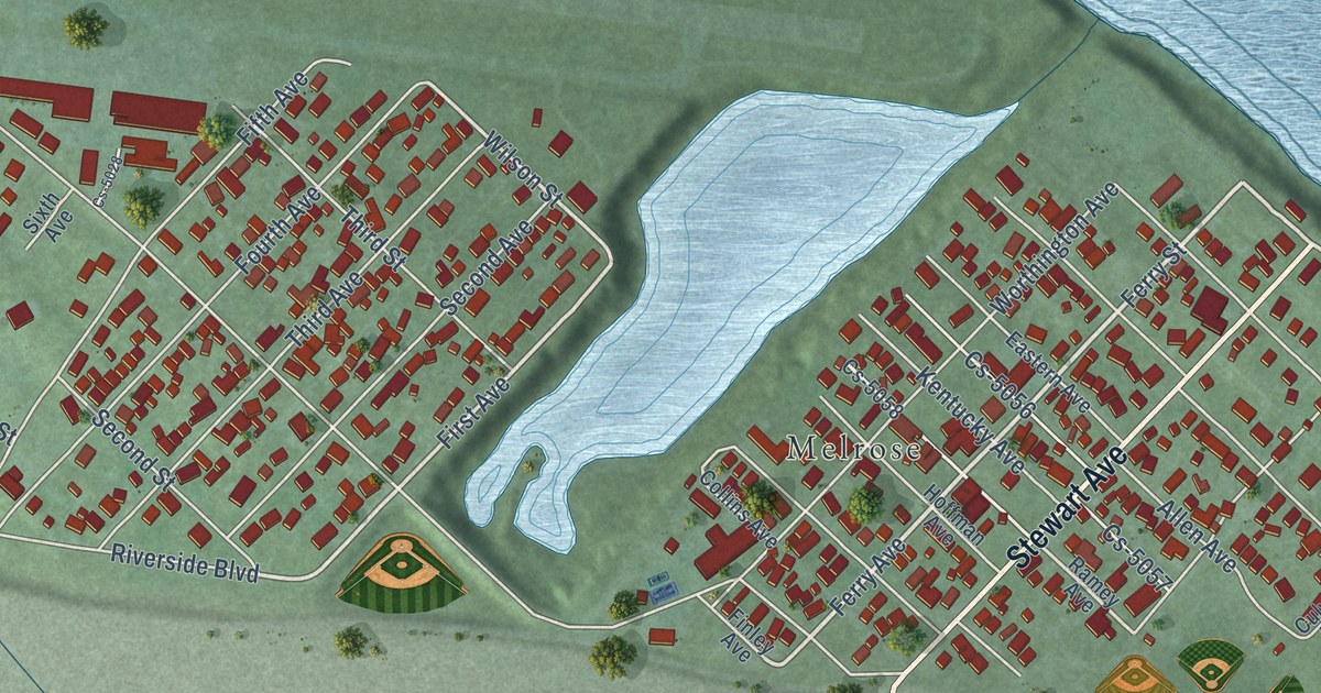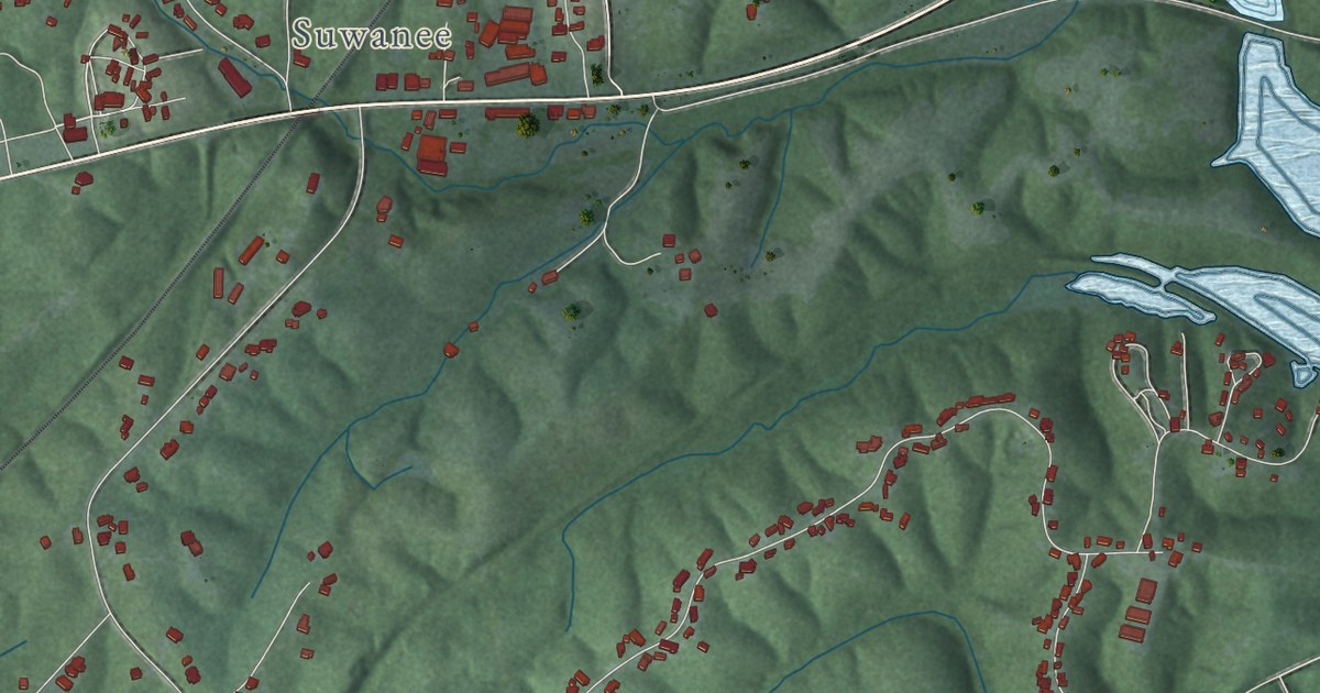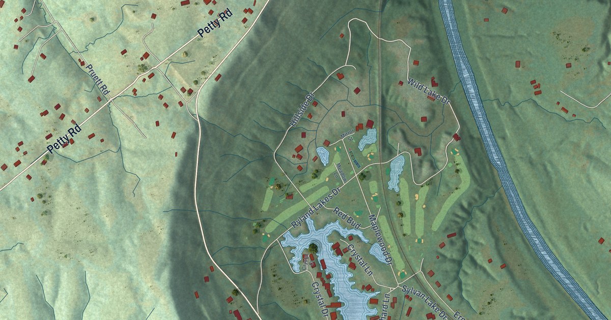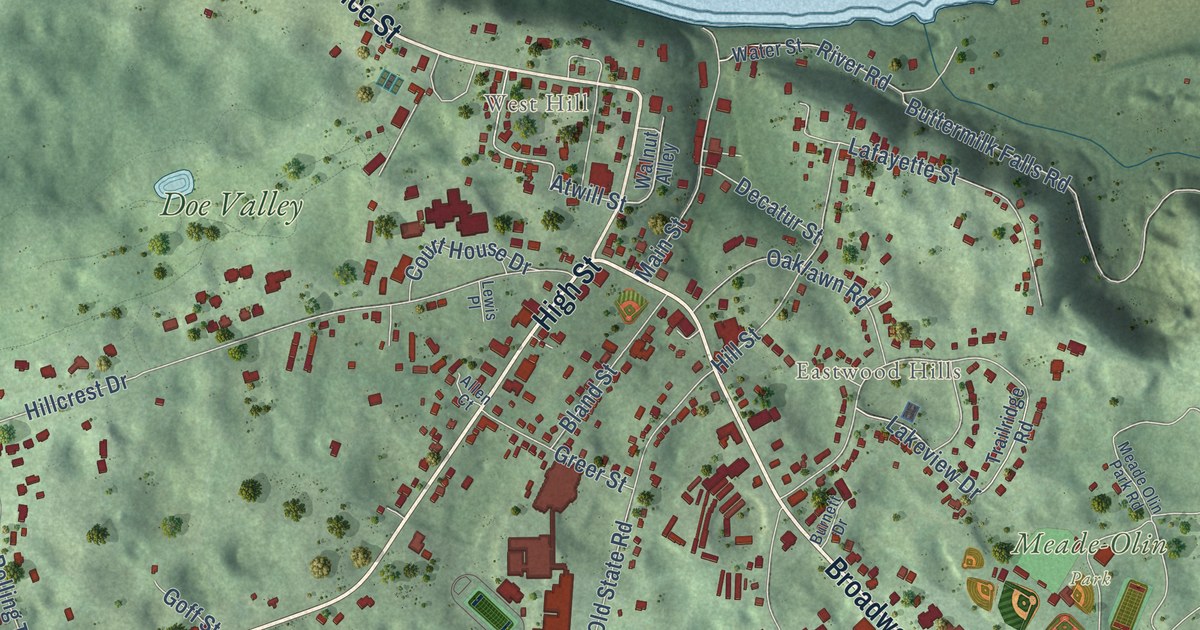
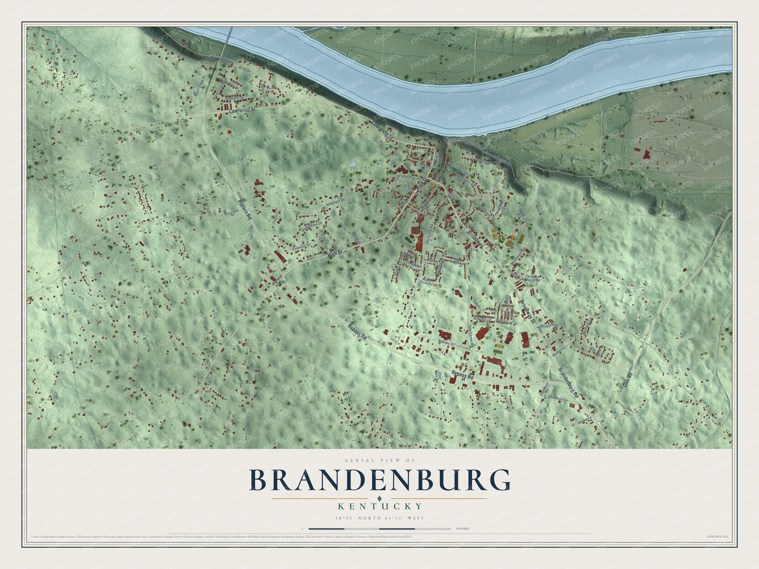
This beautifully detailed map of Brandenburg, Kentucky was created in 2026 using aerial imagery combined with modern topographical, census, street and landmark data. It’s a one-of-a-kind view of Brandenburg that combines accurate data with a vintage aesthetic. The map shows every building in its true location, many of the roads carry their names, and the shaded topographic relief shows the shape of the land.
Explore an aerial view of Brandenburg, Kentucky
On the map you’ll find Eastwood Hills, West Hill, Meade-Olin Park, Doe Valley, and Broadway, along with Broadway Street, High Street, Lawrence Street, Bypass Road, Brandenburg Road, Olin Road, Atwill Street, and more. If you look closely you can even find your house accurately drawn in its correct location. Zoom in on the preview to look for yours.
Did you know this piece of Brandenburg, Kentucky history?
From the Kentucky Atlas and Gazetteer: "It was established in the early nineteenth century around the tavern and ferry of Solomon Brandenburg."
Take a closer look at the Brandenburg map
Street and place names on the Brandenburg, Kentucky map
These names are printed on the map of Brandenburg, Kentucky.
Places: Eastwood Hills, West Hill, Meade-Olin Park and Doe Valley.
Streets and roads: Broadway Street, High Street, Broadway, Lawrence Street, Bypass Road, Brandenburg Road, Olin Road, Atwill Street, Hillcrest Drive, Old State Road, Old Ekron Road, Lakeview Drive.
More street names, A to Z
Allen Court, Anne Court, Armory Place, Bland Street, Burnett Drive, Buttermilk Falls Road, Christian Church Road, Commerce Drive, Court House Drive, Crestview Drive, Decatur Street, Donna Drive, Fairground Road, Fireside Drive, Four Oaks Road, Goff Street, Greer Street, Happy Ridge Road, Highway 79, Hill Street, Homeview Drive, Howard Drive, Hunter Lane, Jena Court, Lafayette Street, Leon Court, Lewis Place, Lisa Drive, Lusk Lane, Main Street, Maple Grove Road, Meade Olin Park Road, Meadowview Drive, Michael Lane, Moremen Road, Nelson Lane, Oaklawn Road, Park Lane, Phillip Lane, Pike Lane, Ready Mix, Ridgeway Drive, River Bluff Beach Road, River Cliff Boulevard, River Edge Drive, River Road, Rolling Ridge Court, Rolling Trail, Schoolside Drive, Shamrock Road, Shannon Lane, Summitt Drive, Telco Drive, Tissy Lane, Trailridge Road, Walnut Alley, Water Street, Wooddale Road, Worley Lane.
See the Brandenburg, Kentucky map on a wall
The Brandenburg map as an 18 x 24 inch print in a black frame.

This beautifully detailed map of Brandenburg makes an attractive addition to your office, library, or den, and it can even be used to teach children the geography and history of the area. It also makes a great gift for anyone who grew up in Brandenburg or moved away. When you’re done exploring, click here to get your copy of the Brandenburg map.