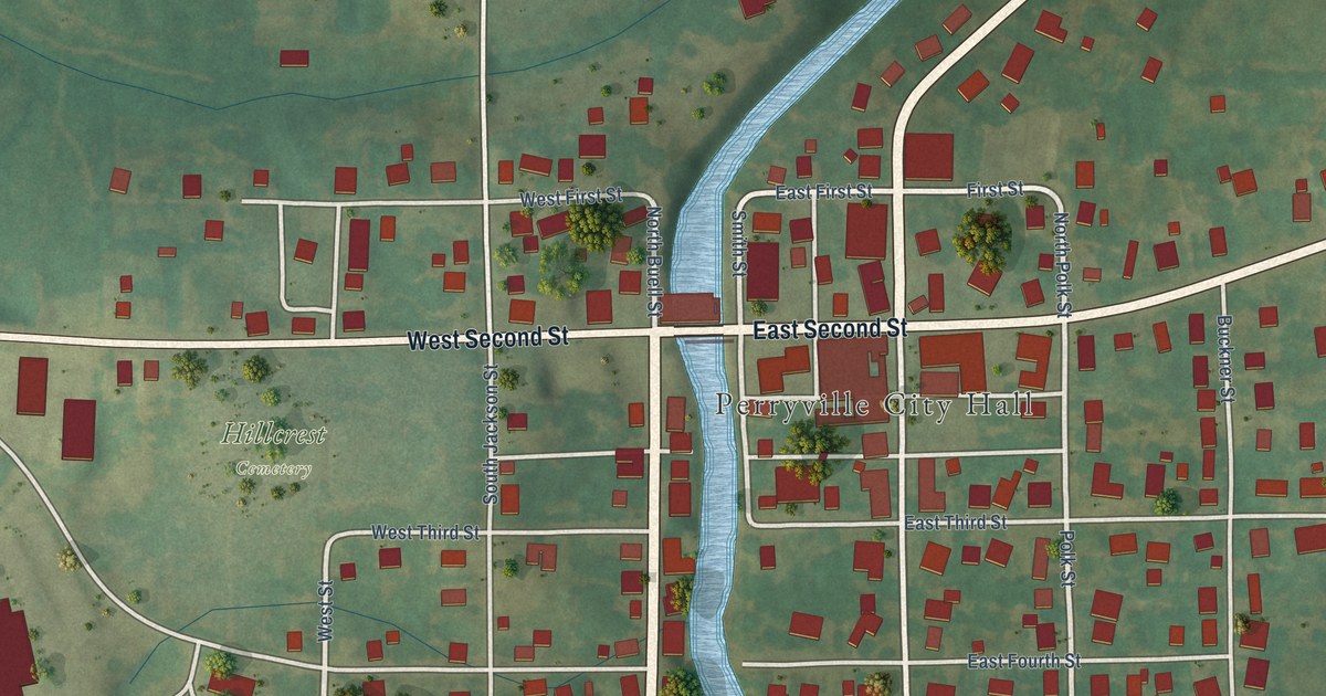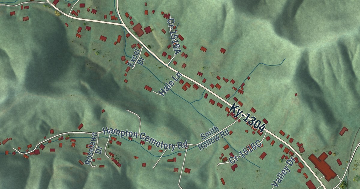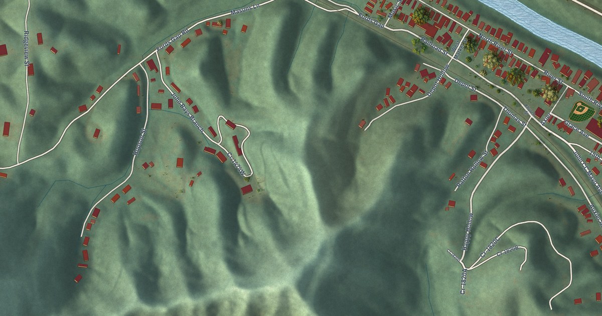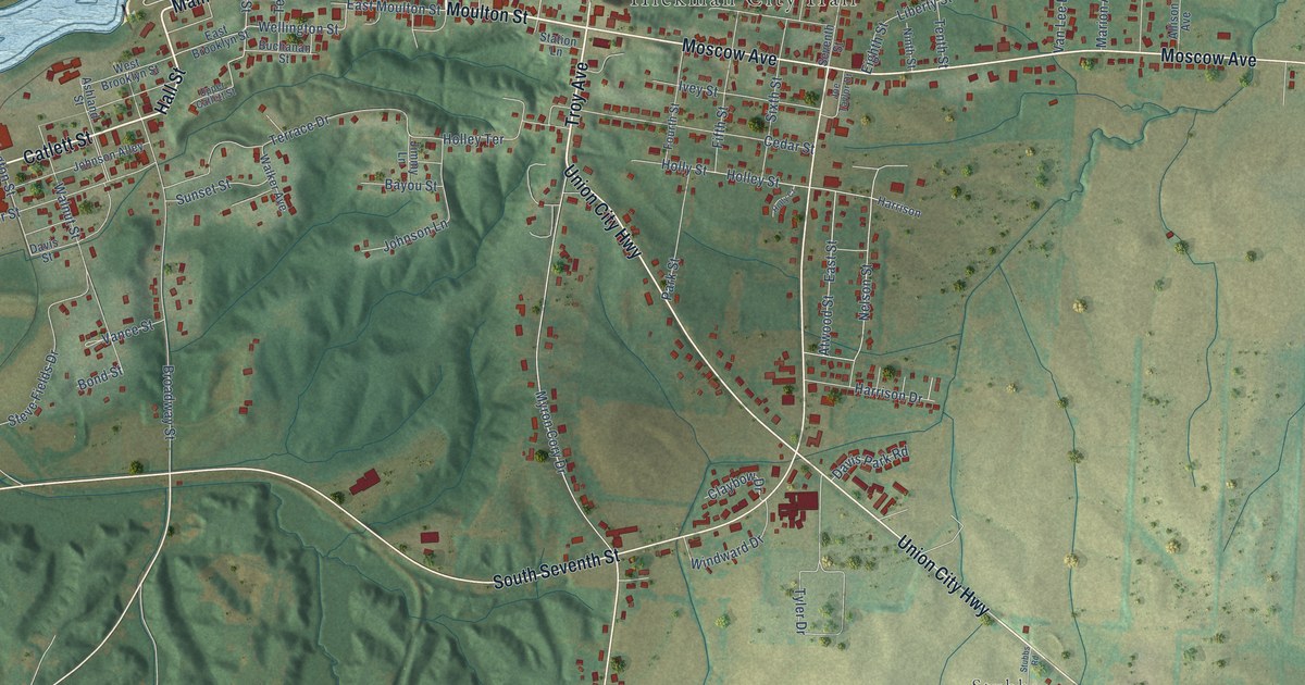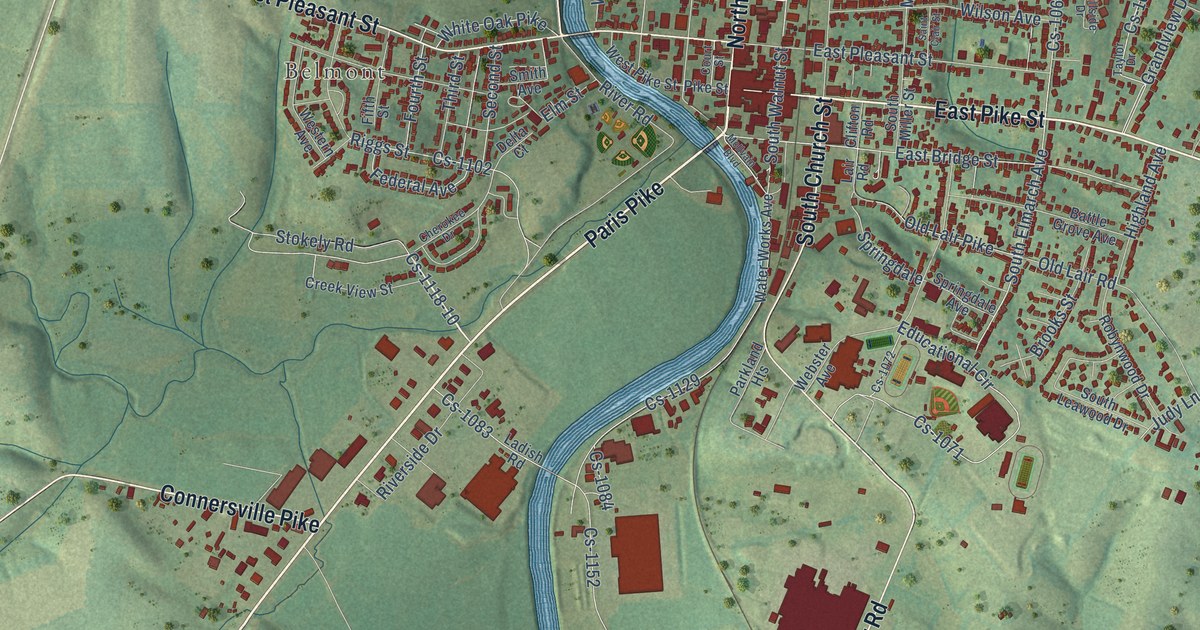
This beautifully detailed map of Cynthiana, Kentucky was created in 2026 using aerial imagery combined with modern topographical, census, street and landmark data. It’s a one-of-a-kind view of Cynthiana that combines accurate data with a vintage aesthetic. The map shows every building in its true location, many of the roads carry their names, and the shaded topographic relief shows the shape of the land.
Explore an aerial view of Cynthiana, Kentucky
On the map you’ll find Belmont, along with Oddville Pike, Paris Pike, North Main Street, Old Falmouth Pike, East Pike Street, Millersburg Pike, South Church Street, West Pleasant Street, Connersville Pike, New Lair Road, Leesburg Pike, and more. If you look closely you can even find your house accurately drawn in its correct location. Zoom in on the preview to look for yours.
Did you know this piece of Cynthiana, Kentucky history?
From the Kentucky A Guide to the Bluegrass State: "Established in 1793 and incorporated in 1806, Cynthiana was named for Cynthia and Anna, two daughters of the first settler, Robert Harrison."
Take a closer look at the Cynthiana map
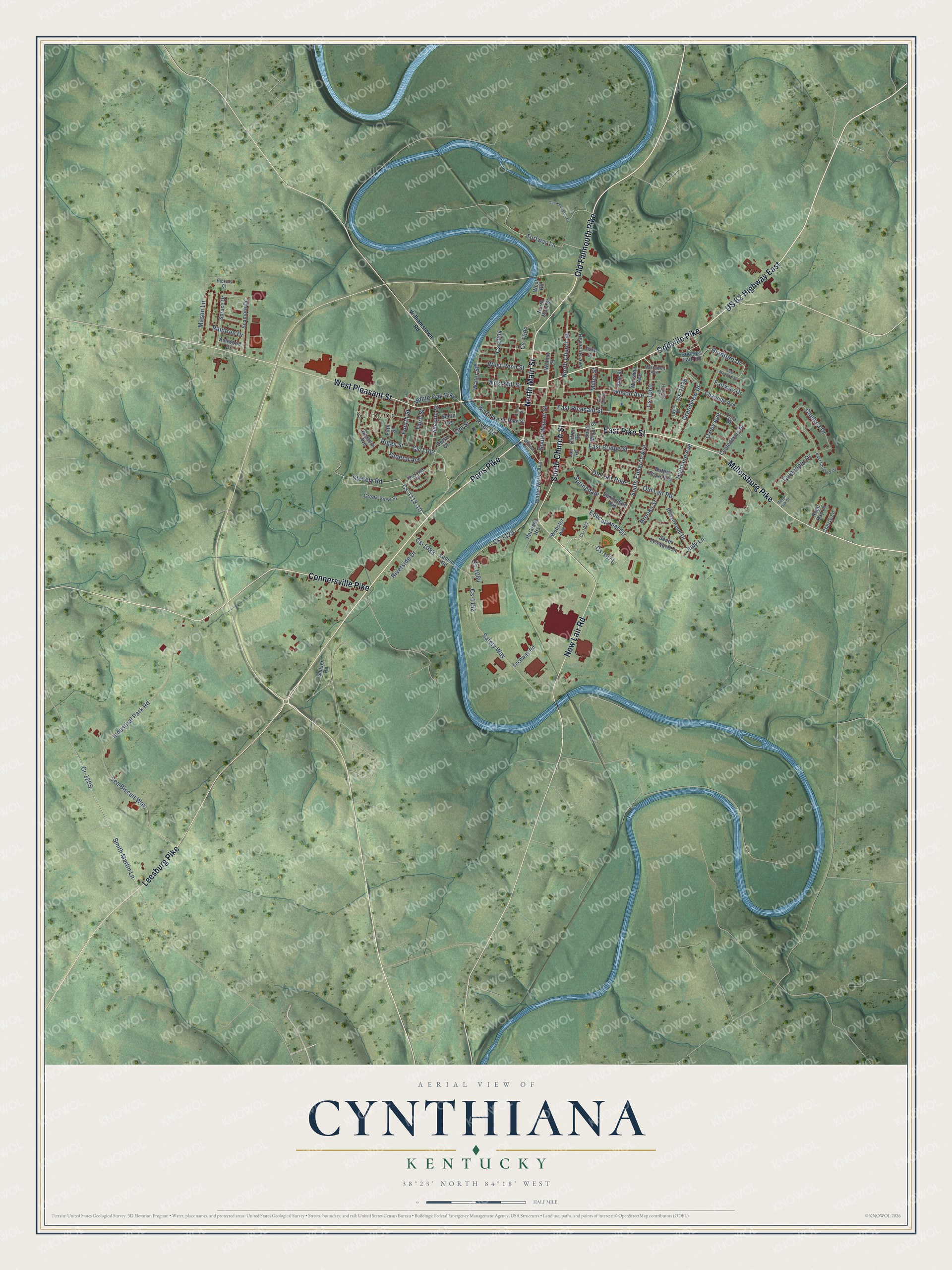
Street and place names on the Cynthiana, Kentucky map
These names are printed on the map of Cynthiana, Kentucky.
Places: Belmont.
Streets and roads: Oddville Pike, Paris Pike, North Main Street, Old Falmouth Pike, East Pike Street, Millersburg Pike, South Church Street, US 62 Highway East, West Pleasant Street, Connersville Pike, New Lair Road, Leesburg Pike.
More street names, A to Z
Ashwood Drive, Battle Grove Avenue, Bradford Drive, Brooks Street, Charlotte Avenue, Chelsea Drive, Cherokee Drive, Cherry Lane, Clifton Road, Confederate Drive, Court Street, Cr-1205, Creek View Street, Cs-1002, Cs-1004, Cs-1038, Cs-1060, Cs-1071, Cs-1072, Cs-1083, Cs-1084, Cs-1102, Cs-1118-10, Cs-1129, Cs-1152, Culpepper Drive, Delta Court, East Bridge Street, East Chelsea Drive, East Meadow Lane, East Pleasant Street, Educational Circle, Elm Street, Fairway Drive, Federal Avenue, Fifth Street, Fourth Street, Grandview Drive, Hickory Court, Highland Avenue, Hillside Drive, Industrial Park Road, Judy Lane, Ladish Road, Lair Road, Lola Drive, Marshall Avenue, Mason Lane, McDowell Avenue, McIlvain Boulevard, Miller Street, North Church Street, Old Lair Pike, Old Lair Road, Oxley Avenue, Parkland Heights, Pike Street, Pine Street, Raintree Drive, Reynolds Avenue, Riggs Street, River Road, Riverside Drive, Robynwood Drive, Rodgers Park Road, Rose Bay Lane, Royal Oak Street, Safety Way, Saint Clair Street, Saint Edwards Lane, Scamore Drive, Sea Biscuit Way, Second Street, Smiser Road, Smith Avenue, Smith Martin Lane, South Elmarch Avenue, South Leawood Drive, South Miller Street, South Walnut Street, Springdale, Springdale Avenue, Spruce Drive, Stokely Road, Taylor Drive, Techway Road, Third Street, Turfway Lane, Vine Street, Walnut Street, Water Street, Water Works Avenue, Webster Avenue, Western Avenue, West Mill Street, West Penn Street, West Pike Street, West Road, White Oak Pike, Williamstown Road, Wilson Avenue.
See the Cynthiana, Kentucky map on a wall
The Cynthiana map as an 18 x 24 inch print in a black frame.

This beautifully detailed map of Cynthiana makes an attractive addition to your office, library, or den, and it can even be used to teach children the geography and history of the area. It also makes a great gift for anyone who grew up in Cynthiana or moved away. When you’re done exploring, click here to get your copy of the Cynthiana map.