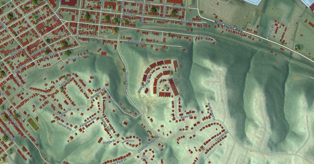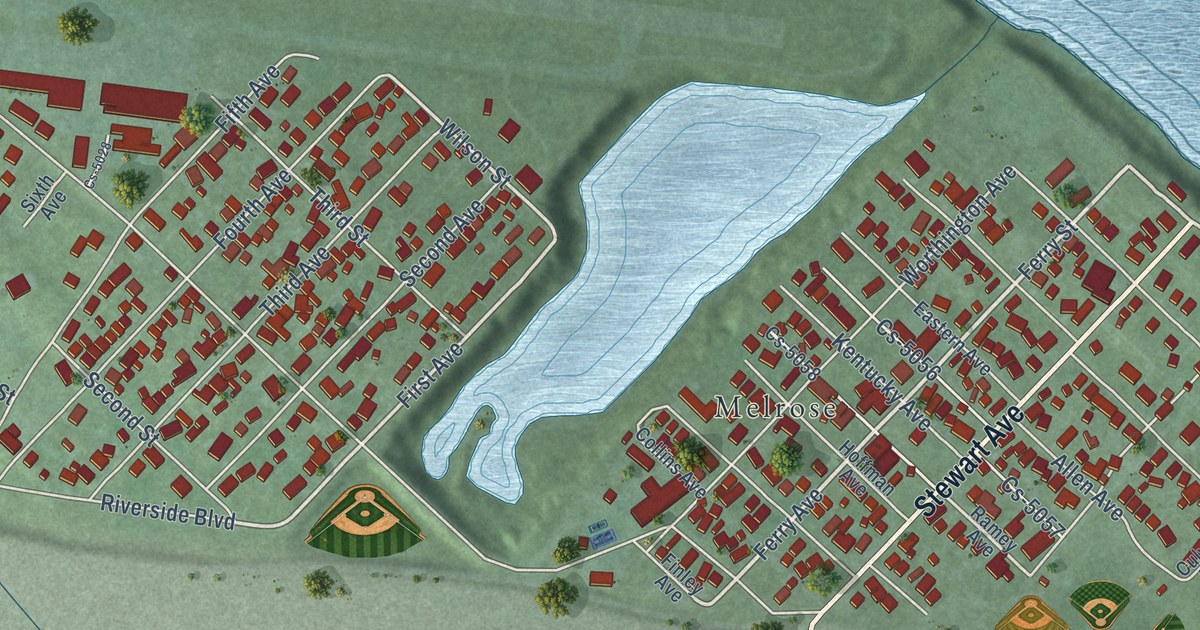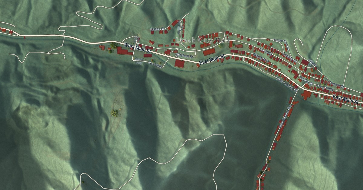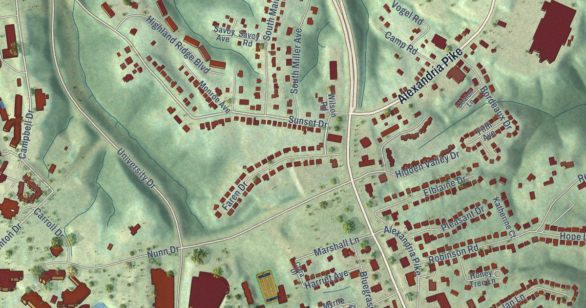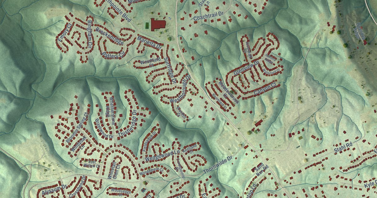
This beautifully detailed map of Francisville, Kentucky was created in 2026 using aerial imagery combined with modern topographical, census, street and landmark data. It’s a one-of-a-kind view of Francisville that combines accurate data with a vintage aesthetic. The map shows every building in its true location, many of the roads carry their names, and the shaded topographic relief shows the shape of the land.
Explore an aerial view of Francisville, Kentucky
On the map you’ll find River Road, North Bend Road, Williams Road, Thornwilde Drive, Bullitsville-Francisville Road, Graves Road, Treetop Lane, Tanner Road, Worldwide Boulevard, Coachtrail Drive, Rivermeade Drive, Loder Creek Road, and more. If you look closely you can even find your house accurately drawn in its correct location. Zoom in on the preview to look for yours.
Did you know this piece of Francisville, Kentucky history?
From the Kentucky Atlas and Gazetteer: "Francisville is a Boone county community about five miles north of Burlington. It was established about 1819 and was probably named for a local Francis family."
Take a closer look at the Francisville map
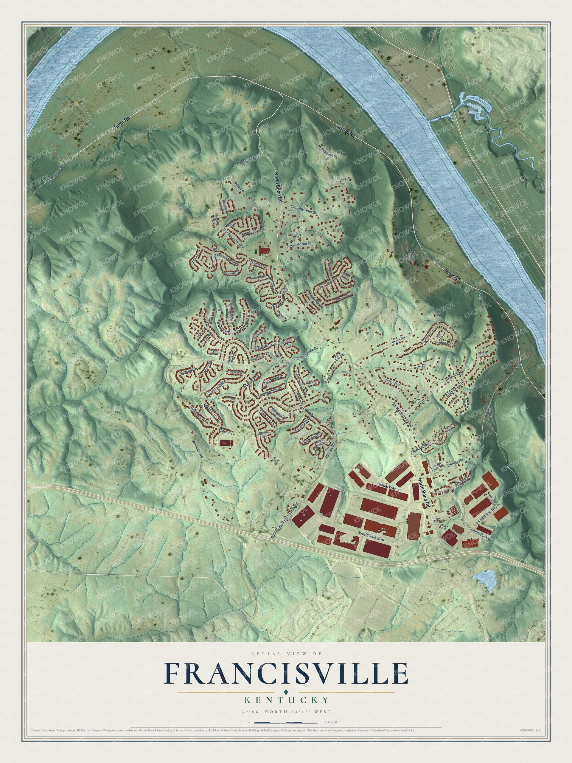
Street names on the Francisville, Kentucky map
These names are printed on the map of Francisville, Kentucky.
Streets and roads: River Road, North Bend Road, Williams Road, Thornwilde Drive, Bullitsville-Francisville Road, Graves Road, Treetop Lane, Tanner Road, Worldwide Boulevard, Coachtrail Drive, Rivermeade Drive, Loder Creek Road.
More street names, A to Z
Alyssum Drive, Battery Circle, Bingham Circle, Blair Drive, Bloomfield Court, Bloomin Spring Court, Bottomwood Drive, Brandon Drive, Brantwood Drive, Brayden Court, Breckenridge, Britt Drive, Bur Oak Court, Canyon Court, Cardinal Way, Conway Hills Drive, Crossbend Drive, Crosspointe Drive, Daybloom Court, Dominion Trail, Downey Drive, Eagle View Drive, Elmburn Lane, Emory Court, Falcon Crest Circle, Fieldsedge Drive, Forest Pond Drive, Frontier Drive, Glenview Drive, Global Way, Grandview Drive, Greyfield Trail, Hazelnut Court, Hempfling Place, Hollow Tree Court, Hunters Ridge, International Way, Jolee Drive, Kara Lane, Kentland Court, Kenyon Court, Kilgore Place, Kyle Drive, Linden Road, Lost Willow Court, Lumberjack Drive, Madison Drive, Marietta Drive, Meadowbrook Court, Meridian Place, Monroe Drive, Northpointe Boulevard, Oakview Court, Old North Bend Road, Old Tanner Road, Peach Blossom Lane, Peak Court, Perth Court, Rivershore Drive, Riverwalk Court, Roundup Ridge, Sanctuary Place Drive, Sand Run Road, Sequoia Drive, Silverleaf Drive, Southcross Drive, South Park Drive, Stable Lane, Stahl Road, Sulky Court, Surfridge Drive, Tanners Cove Road, Teakwood Lane, Terrell Road, Thistleridge Drive, Tremont Court, Waterford Court, Wedgewood Lane, Westborough Drive, Westview Drive, Whetherstone Ridge, Whispering Pines Drive, Whitetail Glen Court, Windyoak Lane, Woodfield Court, Woodsedge Court, Wyndemere Court.
See the Francisville, Kentucky map on a wall
The Francisville map as an 18 x 24 inch print in a black frame.

This beautifully detailed map of Francisville makes an attractive addition to your office, library, or den, and it can even be used to teach children the geography and history of the area. It also makes a great gift for anyone who grew up in Francisville or moved away. When you’re done exploring, click here to get your copy of the Francisville map.