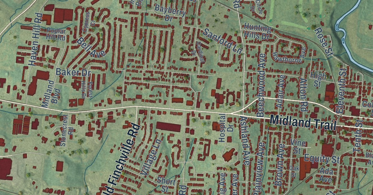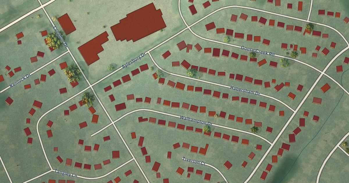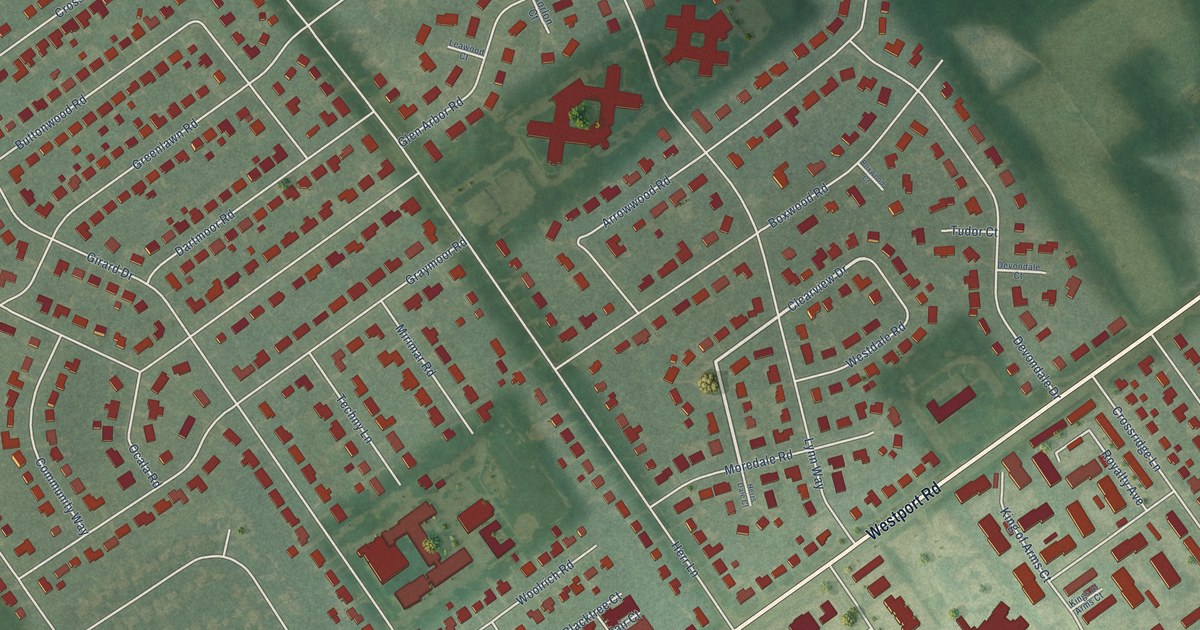
This beautifully detailed map of Graymoor-Devondale, Kentucky was created in 2026 using aerial imagery combined with modern topographical, census, street and landmark data. It’s a one-of-a-kind view of Graymoor-Devondale that combines accurate data with a vintage aesthetic. The map shows every building in its true location, many of the roads carry their names, and the shaded topographic relief shows the shape of the land.
Explore an aerial view of Graymoor-Devondale, Kentucky
On the map you’ll find Westport Road, Clearview Drive, Herr Lane, Girard Drive, Lynn Way, Bedford Lane, Applewood Lane, Glen Arbor Road, Greenlawn Road, Graymoor Road, Carlimar Lane, Boxwood Road, and more. If you look closely you can even find your house accurately drawn in its correct location. Zoom in on the preview to look for yours.
Did you know this about Graymoor-Devondale, Kentucky?
From the City of Graymoor-Devondale: "After many years without parades, the 4th of July Patriotic Parade is now an annual City sponsored event. The Graymoor-Devondale 4th of July Patriotic Parade is usually scheduled for the morning of the 4th of July."
Take a closer look at the Graymoor-Devondale map
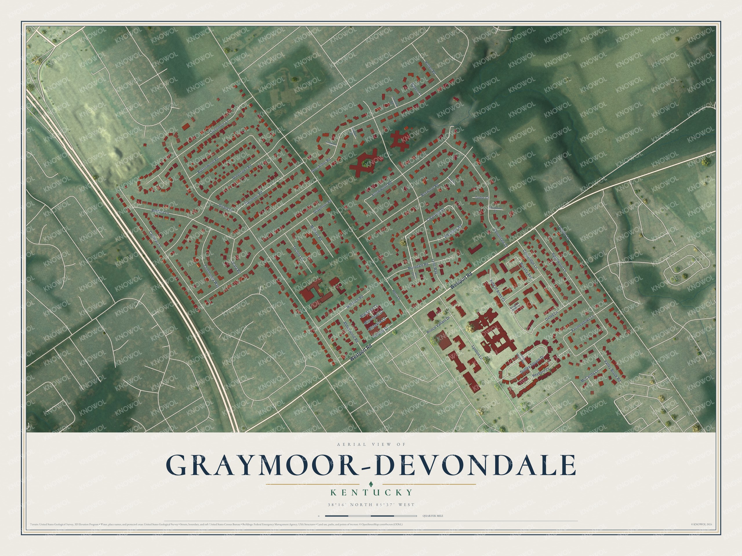
Street names on the Graymoor-Devondale, Kentucky map
These names are printed on the map of Graymoor-Devondale, Kentucky.
Streets and roads: Westport Road, Clearview Drive, Herr Lane, Girard Drive, Lynn Way, Bedford Lane, Applewood Lane, Glen Arbor Road, Greenlawn Road, Graymoor Road, Carlimar Lane, Boxwood Road.
More street names, A to Z
Abbeywood Road, Arrowwood Road, Baden Court, Blacktree Court, Boxwood Court, Buttonwood Road, Community Way, Corlon Court, Corona Court, Crossmoor Lane, Crossridge Lane, Dartmoor Road, Devondale Court, Devondale Drive, Dudley Square Drive, Dudley Square Way, Fairmeadows Lane, Gullane Court, Herrs Dale Court, Heyburn Court, Hollen Road, King of Arms Court, Kings of Arms Court, Leawood Court, Lyndon Lane, McCarthy Lane, Mirimar Road, Moredale Road, Mountblair Court, Ocala Road, Ormsby Lane, Oxted Lane, Prince Valiant Drive, Royalty Avenue, Techny Lane, Tudor Court, Valley Brook Road, Westdale Road, Whitekirk Court, Woolrich Road.
See the Graymoor-Devondale, Kentucky map on a wall
The Graymoor-Devondale map as an 18 x 24 inch print in a black frame.

This beautifully detailed map of Graymoor-Devondale makes an attractive addition to your office, library, or den, and it can even be used to teach children the geography and history of the area. It also makes a great gift for anyone who grew up in Graymoor-Devondale or moved away. When you’re done exploring, click here to get your copy of the Graymoor-Devondale map.