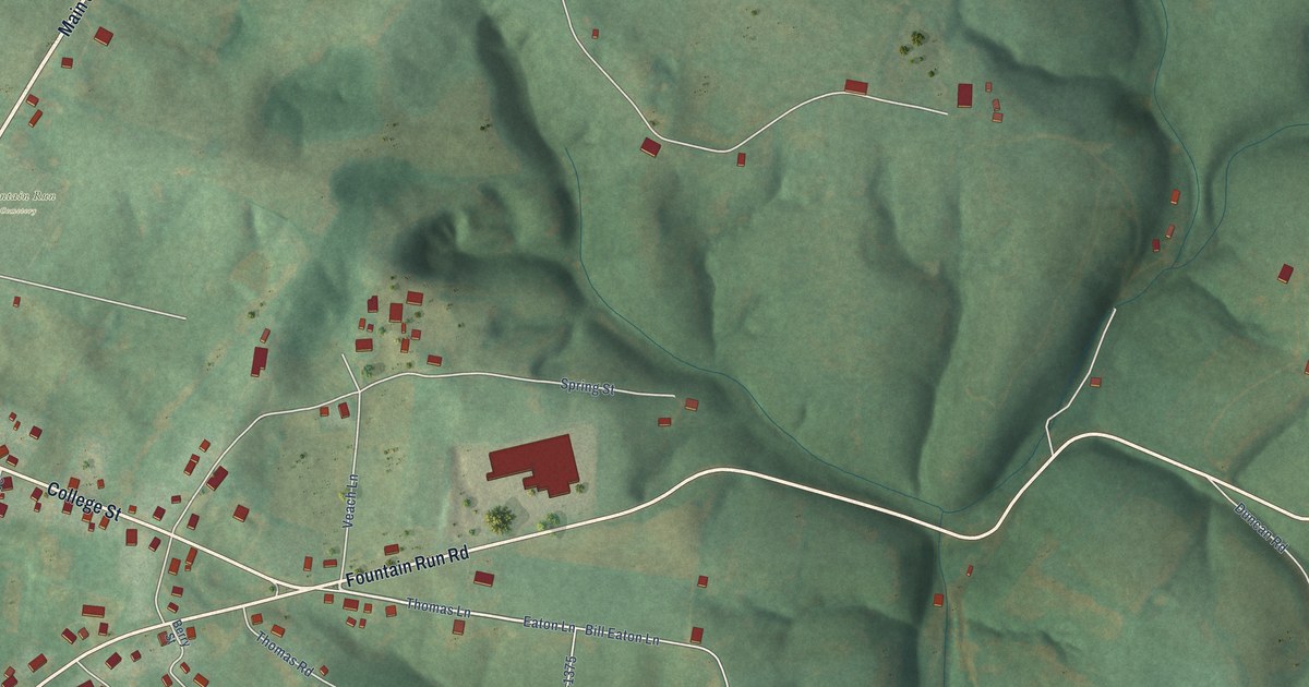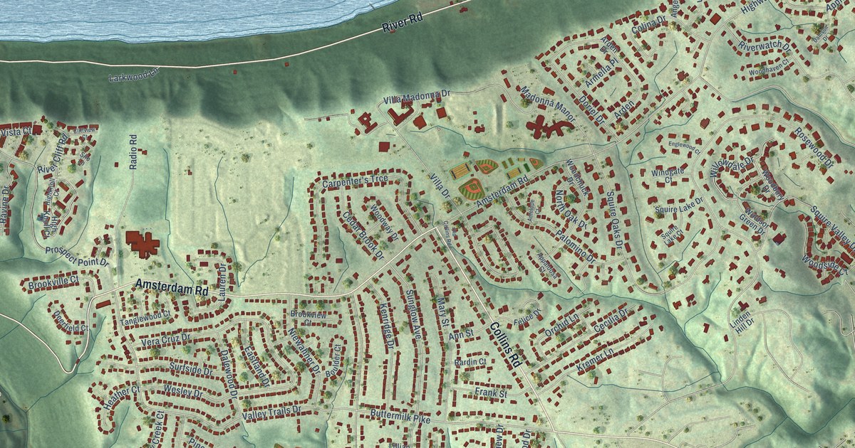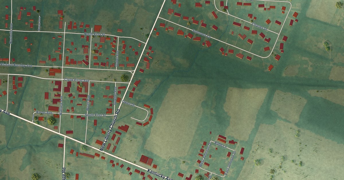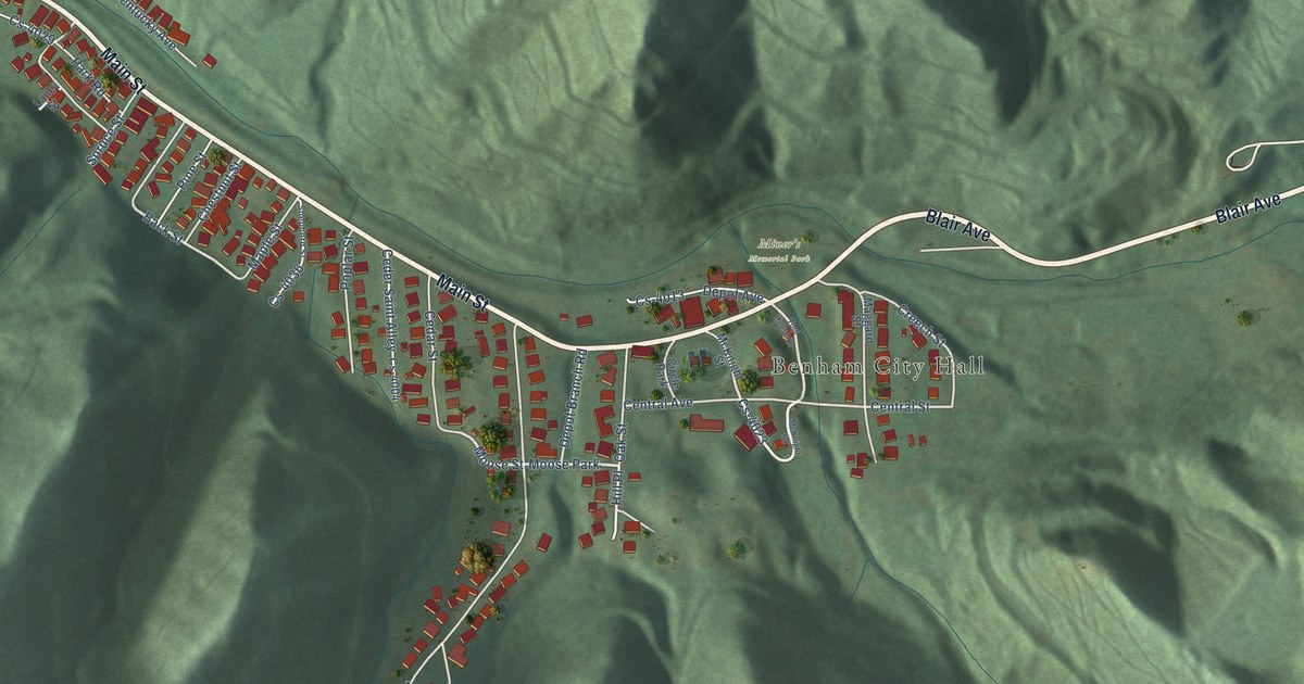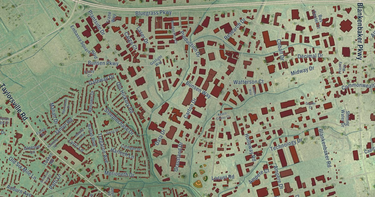
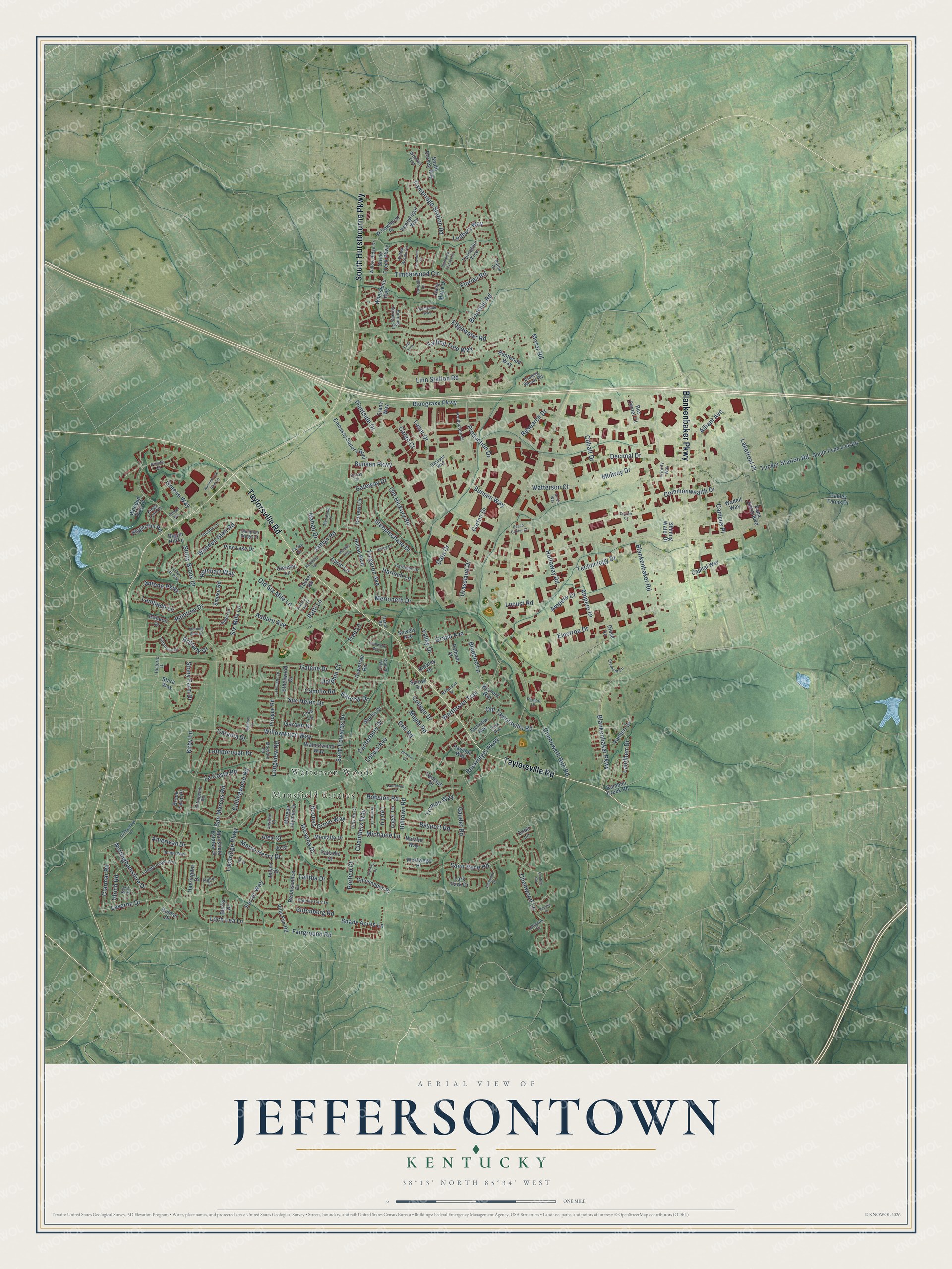
This beautifully detailed map of Jeffersontown, Kentucky was created in 2026 using aerial imagery combined with modern topographical, census, street and landmark data. It’s a one-of-a-kind view of Jeffersontown that combines accurate data with a vintage aesthetic. The map shows every building in its true location, many of the roads carry their names, and the shaded topographic relief shows the shape of the land.
Explore an aerial view of Jeffersontown, Kentucky
On the map you’ll find Mansfield Estates and Watterson Woods, along with Taylorsville Road, South Hurstbourne Parkway, Blankenbaker Parkway, Watterson Trail, Plantside Drive, Stony Brook Drive, Bluegrass Parkway, Linn Station Road, Timberwood Circle, Six Mile Lane, and more. If you look closely you can even find your house accurately drawn in its correct location. Zoom in on the preview to look for yours.
Did you know this piece of Jeffersontown, Kentucky history?
From the Kentucky Historical Society: "The first Lutherans in and around Brunerstown, now Jeffersontown, were early settlers from Va., Md., Pa., and N.C. Samuel Mau, licensed to preach in Kentucky in 1789, served German-speaking churches in Jeffersontown, Nelson County, and Danville until 1800."
Take a closer look at the Jeffersontown map
Street and place names on the Jeffersontown, Kentucky map
These names are printed on the map of Jeffersontown, Kentucky.
Places: Mansfield Estates and Watterson Woods.
Streets and roads: Taylorsville Road, South Hurstbourne Parkway, Blankenbaker Parkway, Watterson Trail, Plantside Drive, Stony Brook Drive, Bluegrass Parkway, Linn Station Road, Timberwood Circle, Six Mile Lane, Blankenbaker Road, Ruckriegel Parkway.
More street names, A to Z
Alex Court, Alliant Avenue, Alphin Court, Amerivan Drive, Ampere Court, Ampere Drive, Angel Terrace, Antone Parkway, Arcee Way, Auburn Avenue, Ballad Boulevard, Barclay Drive, Barkley Drive, Bayport Road, Bentwood Way, Bigelow Drive, Biggin Hill Lane, Biggin Hill Road, Billtown Road, Bluebird Lane, Boones Grove Way, Brittany Drive, Brook Farm Place, Brookhill Road, Browns Court, Bruners Way, Bunsen Parkway, Bunsen Way, Burgundy Drive, Burning Springs Circle, Burris Drive, Bus Center Court, Cambridge Station Road, Camille Road, Campus Place, Canterbury Drive, Capital Way, Cardigan Drive, Cargo Court, Carrier Court, Carton Drive, Catania Drive, Century Road, Chambers Way, Chenoweth Run Road, Chenwood Lane, Cheval Way, Chinook Court, Citadel Way, Clarmar Road, Cobalt Drive, College Drive, Collingwood Road, Colonnades Place, Commonwealth Drive, Conti Lane, Cornice Court, Cottagehill Road, Dabney Carr Drive, Dana Marie Drive, Data Drive, Decimal Drive, Dell Road, Depot Road, Diode Lane, Dolphin Court, Edgewater Road, Electron Drive, Element Lane, Embassy Square Boulevard, Envoy Circle, Ethelwood Drive, Fairground Road, Fairview Avenue, Falling Tree Way, Falls Trce, Farish Drive, Ferrer Way, Florian Road, Galene Drive, Galleon Drive, Garden Drive, Gaslight Way, Gateway Drive, Gaudet Road, Gleeson Lane, Grand Avenue, Grandin Woods Road, Grassland Drive, Greene Way, Gutenberg Road, Haeringdon Drive, Hampton Ridge Court, Harlech Lane, Harmony Road, Hatler Court, Historic Drive, Holloway Road, Hurstbourne Gem Lane, Image Way, Janlyn Road, Jefferson Street, Jo Court, Jolynn Drive, Justine Court, Kay Avenue, Kesco Center Court, Kings Lynn Lane, Kirby Lane, La Costa Road, La Follette Drive, Lakefront Place, Lambach Lane, Landherr Drive, Lantern Lite Parkway, Lark Park Drive, Laser Drive, Lauralynn Court, Laverne Drive, Ledbury Way, Leo Lane, Lethborough Drive, Lisa Lane, Loch Lea Lane, Lochridge Parkway, Locust Avenue, Locust Road, Longborough Way, Longview Road, Loveall Lane, Lynnwood Way, Lyric Lane, Mahan Drive, Mansfield Estates Drive, Maple Road, Marlin Drive, Marse Henry Drive, Melody Way, Merioneth Drive, Merriwood Drive, Michaele Lane, Midway Drive, Modesto Road, Montalto Drive, Morgan Jaymes Drive, Morning Park Drive, Moser Road, Natalie Way, Nottinghamshire Drive, Oakley Farms Drive, Old Hickory Road, Old Six Mile Lane, Old Taylorsville Road, Palladio Court, Papa Johns Boulevard, Park Avenue, Patti Lane, Pavilion Way, Pelham Court, Penion Drive, Pennyroyal Way, Peyote Place, Pine Lake Drive, Pirogue Road, Plainview Terrace Drive, Pointe Court, Portico Court, Prince Lane, Priority Way, Production Court, Production Drive, Raintree Drive, Ramblin Creek Road, Reinhart Way, Renaissance Drive, Renown Drive, Research Drive, Rivanna Drive, Robsion Road, Roman Drive, Rowntree Road, Saint Edwards Drive, Saint Rene Road, San Marcos Road, Shady Acres Lane, Shining Water Drive, Smoke Road, Snively Avenue, South Dorsey Way, South Pope Lick Road, Springside Way, Sprowl Road, Stara Way, Steeplechase Drive, Stillmeadow Drive, Stoke on Trent Street, Stone Creek Parkway, Stony Farm Drive, Sue Helen Drive, Swing Drive, Taft Court, Talitha Drive, Tally Ho Court, Technology Drive, Thelma Lane, Trane Way, Tree Lane, Tregaron Avenue, Truman Way, Tucker Road, Tucker Station Road, Turnstile Trce, Ulrich Road, Valley Drive, Vanherr Drive, Vantage Place, Velden Drive, Villa Fair Road, Villanova Drive, Wadell Way, Walnutwood Way, Watterson Court, Westwego Place, Whetstone Way, Willow Brook Circle, Willowhurst Place, Willow Ridge Drive, Willowwood Way, Windfall Trce, Wooded Glen Road, Wooded Trail Court, Yorkwood Place.
See the Jeffersontown, Kentucky map on a wall
The Jeffersontown map as an 18 x 24 inch print in a black frame.

This beautifully detailed map of Jeffersontown makes an attractive addition to your office, library, or den, and it can even be used to teach children the geography and history of the area. It also makes a great gift for someone who left Jeffersontown and still calls it home. When you’re done exploring, click here to get your copy of the Jeffersontown map.