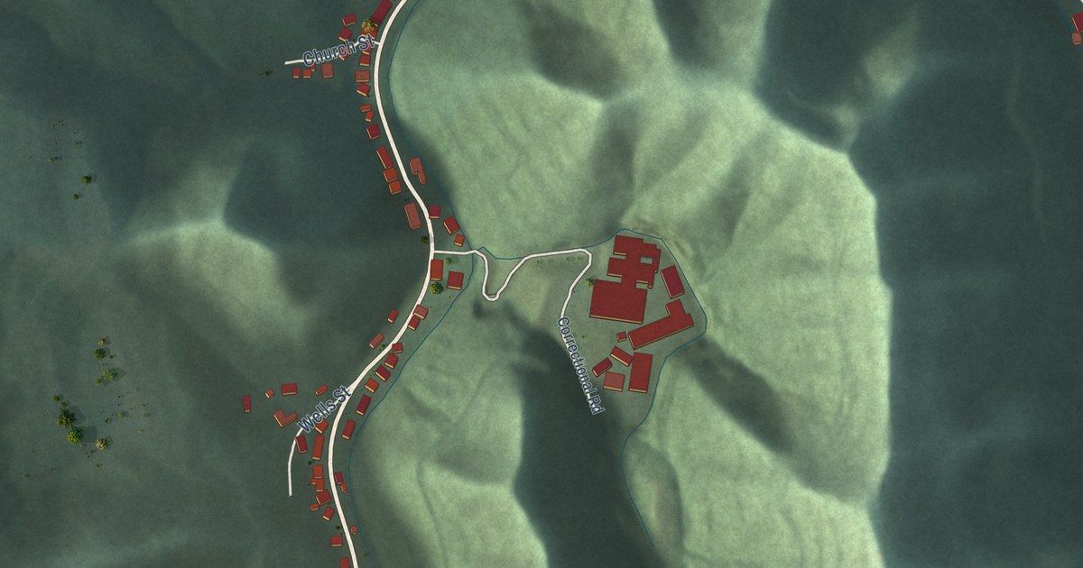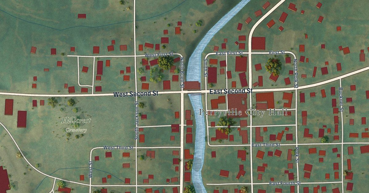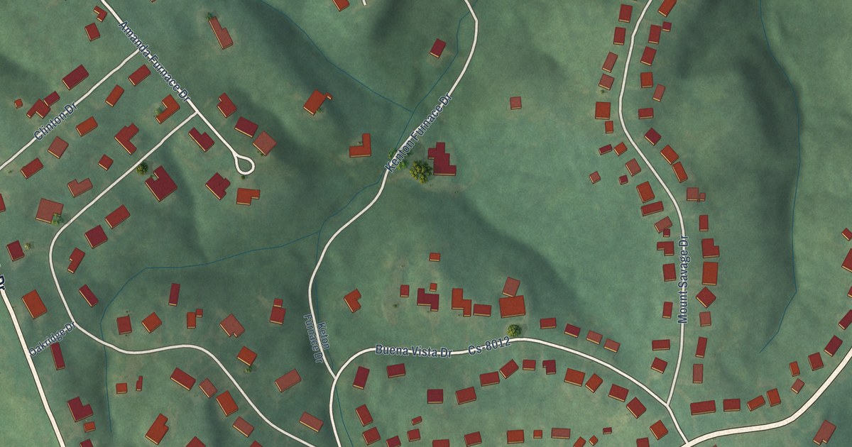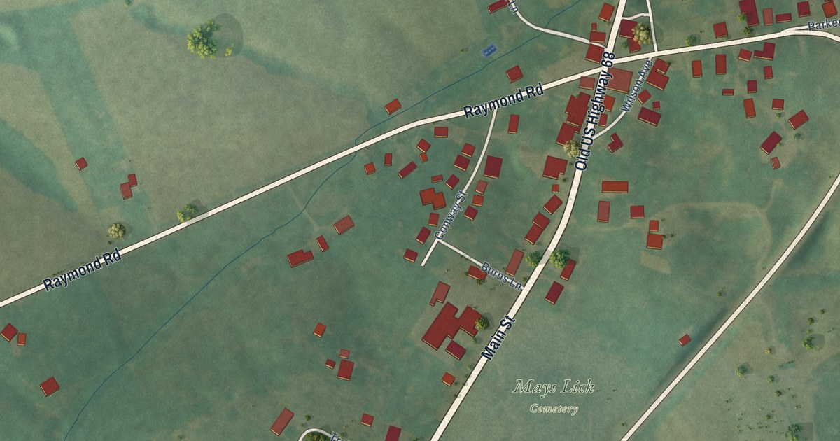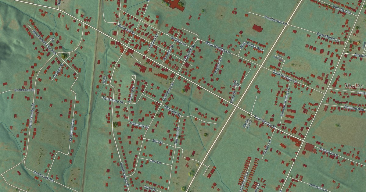
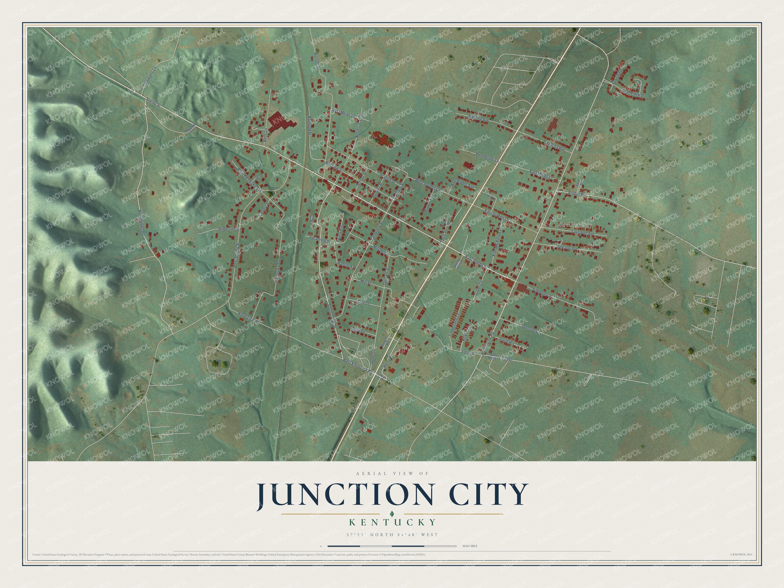
This beautifully detailed map of Junction City, Kentucky was created in 2026 using aerial imagery combined with modern topographical, census, street and landmark data. It’s a one-of-a-kind view of Junction City that combines accurate data with a vintage aesthetic. The map shows every building in its true location, many of the roads carry their names, and the shaded topographic relief shows the shape of the land.
Explore an aerial view of Junction City, Kentucky
On the map you’ll find Shelby City, along with Shelby Street, South Lucas Street, West Knob Lick Road, West Shelby Street, East Shelby Street, Henry Street, Hustonville Road, Worldstown Road, West Grubbs Lane, Oakland Street, Third Street, and more. If you look closely you can even find your house accurately drawn in its correct location. Zoom in on the preview to look for yours.
Did you know this piece of Junction City, Kentucky history?
The town began when the Louisville and Nashville Railroad arrived. It was first called Goresburg, after the owners of the Gore Hotel. In 1882 the Cincinnati Southern Railway crossed the L&N tracks here, and the town became Junction City.
Take a closer look at the Junction City map
Street and place names on the Junction City, Kentucky map
These names are printed on the map of Junction City, Kentucky.
Places: Shelby City.
Streets and roads: Shelby Street, South Lucas Street, West Knob Lick Road, West Shelby Street, East Shelby Street, Henry Street, Hustonville Road, Worldstown Road, West Grubbs Lane, Oakland Street, Third Street, Knob Lick Road.
More street names, A to Z
Airport Road, Anderson Street, April Drive, Bells Lane, Bellview Street, Calvert Street, Carl Lane, Castlerock Drive, Cemetery Street, Cr-1367, Douglas Lane, Durham Street, East Eades Avenue, East Grubbs Lane, East Ila Avenue, East Knob Lick Road, East Meigs Lane, Evans Heights, Ford Street, Fox Chase, Grafton Street, Hancock Street, Hickory Lane, Johnson Lane, Jones Lane, Joyce Heights, Kendall Street, Kentucky Avenue, Kinnard Kelley Lane, Lausman Avenue, Margus Drive, Mill Street, Mitchell Street, North Lucas Street, Oak Place, Overlook Court, Pemberton Lane, Railroad Street, Rogers Court, Russell Street, School Street, Shearin Avenue, Shelby Jct Lane, Short Acres, Simpson Lane, Spring Street, Stewarts Lane, Sycamore Street, Timberland Lane, Trisler Lane, West Eades Avenue, West Ila Avenue, West Kentucky Avenue, West Meigs Lane, York Lane.
See the Junction City, Kentucky map on a wall
The Junction City map as an 18 x 24 inch print in a black frame.

This beautifully detailed map of Junction City makes an attractive addition to your office, library, or den, and it can even be used to teach children the geography and history of the area. It also makes a great gift for someone who left Junction City and still calls it home. When you’re done exploring, click here to get your copy of the Junction City map.