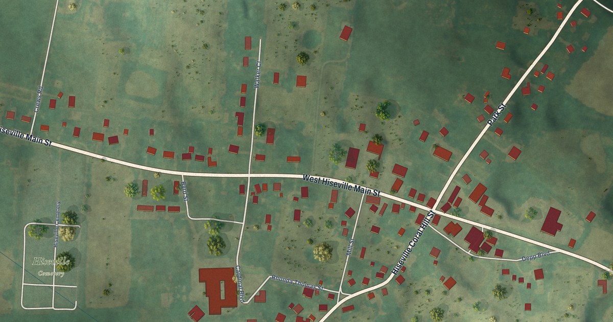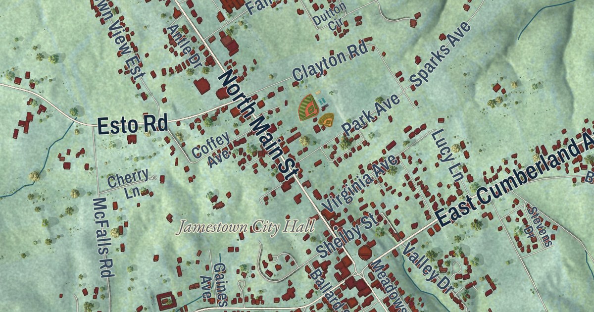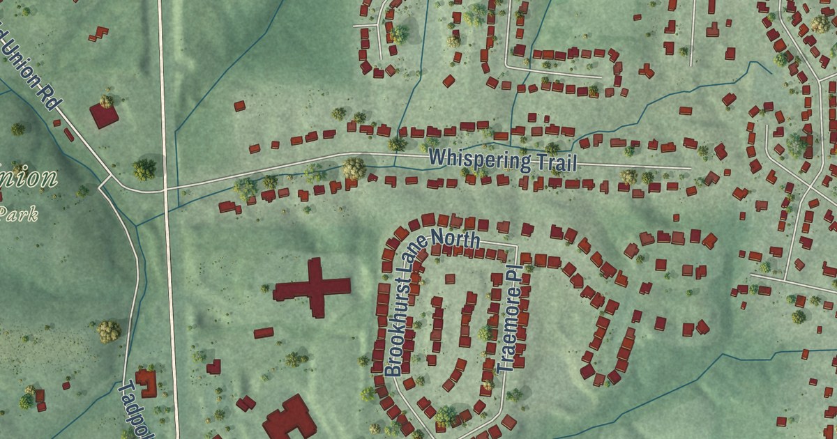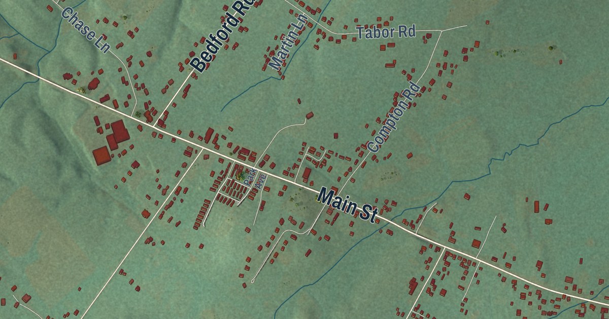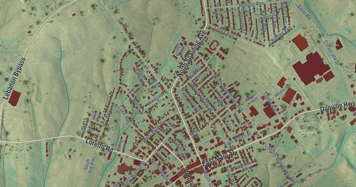
This beautifully detailed map of Lebanon, Kentucky was created in 2026 using aerial imagery combined with modern topographical, census, street and landmark data. It’s a one-of-a-kind view of Lebanon that combines accurate data with a vintage aesthetic. The map shows every building in its true location, many of the roads carry their names, and the shaded topographic relief shows the shape of the land.
Explore an aerial view of Lebanon, Kentucky
On the map you’ll find Center Square, Graham Memorial Park, and Ryder Cemetery, along with Danville Highway, East Main Street, North Spalding Avenue, Loretto Road, Jane Todd Crawford Trail, Metts Drive, West Main Street, Campbellsville Road, Lebanon Bypass, and more. If you look closely you can even find your house accurately drawn in its correct location. Zoom in on the preview to look for yours.
Did you know this piece of Lebanon, Kentucky history?
From the Kentucky Atlas and Gazetteer: "Settlement in the area began in the 1780s and the town was established in 1814 and named for the biblical Lebanon because of the abundant cedar trees."
Take a closer look at the Lebanon map
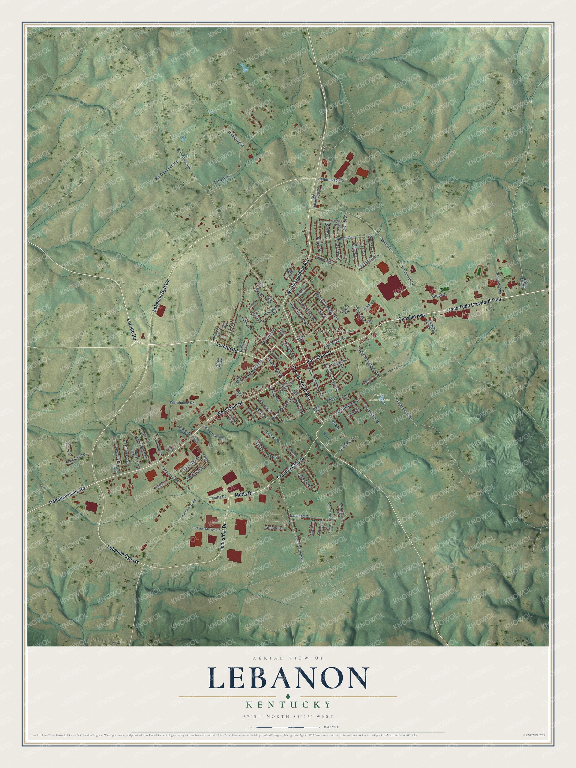
Street and place names on the Lebanon, Kentucky map
These names are printed on the map of Lebanon, Kentucky.
Places: Center Square, Graham Memorial Park and Ryder Cemetery.
Streets and roads: Danville Highway, East Main Street, North Spalding Avenue, Loretto Road, Jane Todd Crawford Trail, Metts Drive, West Main Street, Campbellsville Road, Lebanon Bypass, Proctor Knott Avenue, Country Club Drive, Industrial Drive.
More street names, A to Z
Alpine Street, Barbers Mill Road, Bedrock Lane, Beechwood Street, Bill Chapman Road, Blossom Lane, Boldrick Avenue, Bruce Street, Burton Lane, Castleberry Street, Cemetery Road, Chadley Avenue, Chestnut Street, Clearwater Drive, Cleaver Court, Cloyd Brady Road, College Street, Cooper, Cooper Drive, Corporate Drive, Cyril Circle, Doctor Street, East Highland Drive, Eastland Drive, East Water Street, Elm Street, Fairgrounds Road, Fairway Drive, Farmington Drive, Francis Marion Drive, Frankie Avenue, George Street, Gloria Avenue, Golfview Terrace, Hamilton Heights, Hardin Place, Hendrickson Drive, Hillcreek Road, Hillcrest Circle, Hillcrest Farm Road, Hill Street, Honeysuckle Drive, Hood Avenue, Howard Avenue, Indian Creek Road, Julia Avenue, Kelly Way, Kennedy Lane, Knights Way, Kobert Avenue, Lake Avenue, Lanham Lane, Lee Avenue, Lil Jodie Drive, Linda Avenue, Lisa Avenue, Maple Street, Mercer Avenue, Mock Avenue, Monica Avenue, Montgomery Court, New Calvary Road, North Depot Street, North Forest Street, North Harrison Street, Northland Drive, North Street, North Woodlawn Avenue, Oak Street, Old Springfield Road, Palm Street, Park Drive, Park Heights, Park Side Drive, Parrish Street, Patriot Drive, Pebblebrook Drive, Raines Hl, Ridgeway Drive, Rolling Avenue, Rose Avenue, Royer Avenue, Saint Ann Street, Saint Road, Saint Rose Road, Scenic Hill Drive, Short Street, Shuck Avenue, Skyline Drive, South Harrison Street, Southland Drive, South Lee Avenue, South Spalding Avenue, South Woodlawn Avenue, Sterk Avenue, Sue Court, Sulphur Springs Road, Taylor Avenue, Valley Lane, Valley View Court, Village Loop, Village Way, Wall Street, Warehouse Road, West Chandler Street, West High Street, Westland Drive, West Mulberry Street, West Walnut Street, Whitton Lane, Wright Court.
See the Lebanon, Kentucky map on a wall
The Lebanon map as an 18 x 24 inch print in a black frame.

This beautifully detailed map of Lebanon makes an attractive addition to your office, library, or den, and it can even be used to teach children the geography and history of the area. It also makes a great gift for anyone with Lebanon roots. When you’re done exploring, click here to get your copy of the Lebanon map.