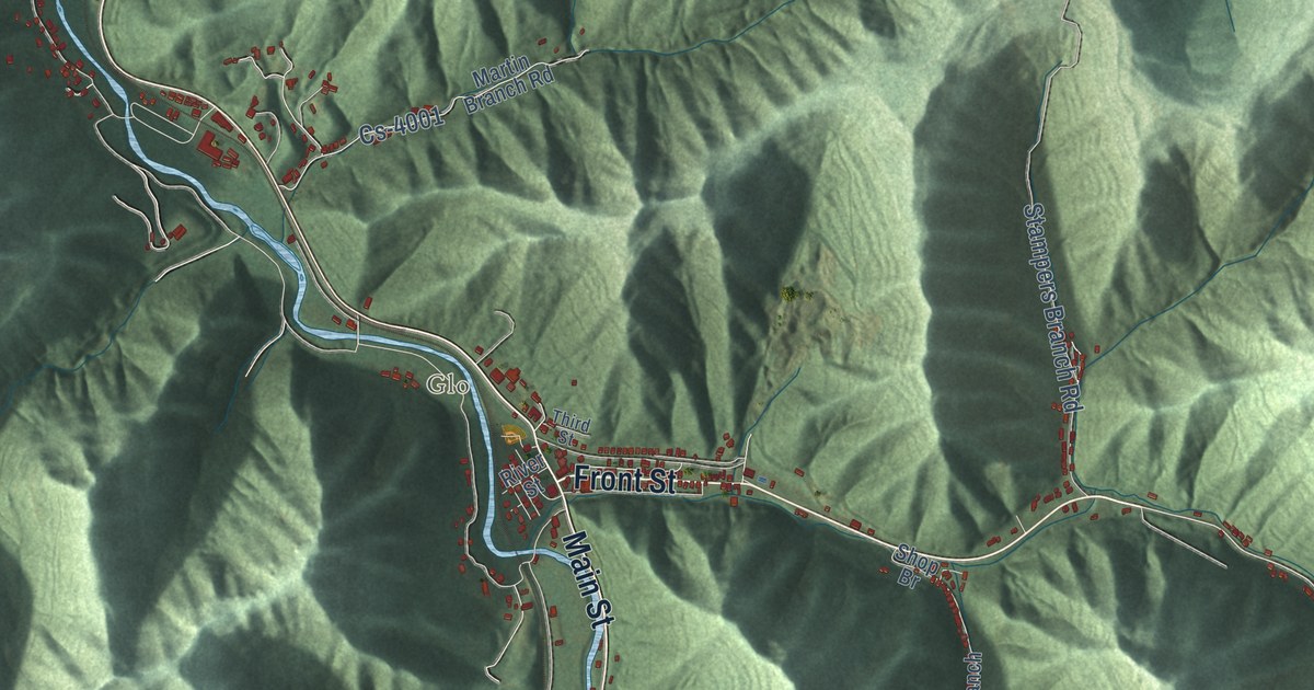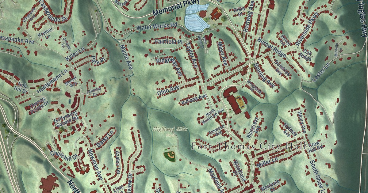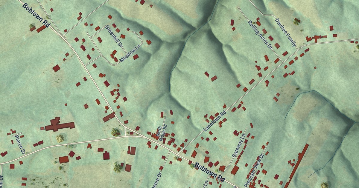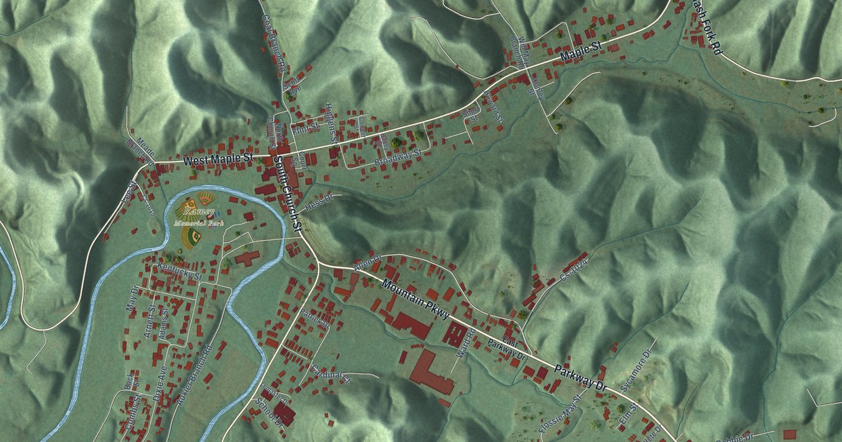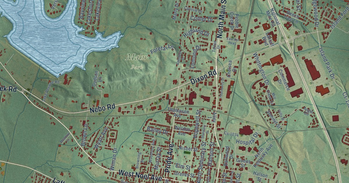
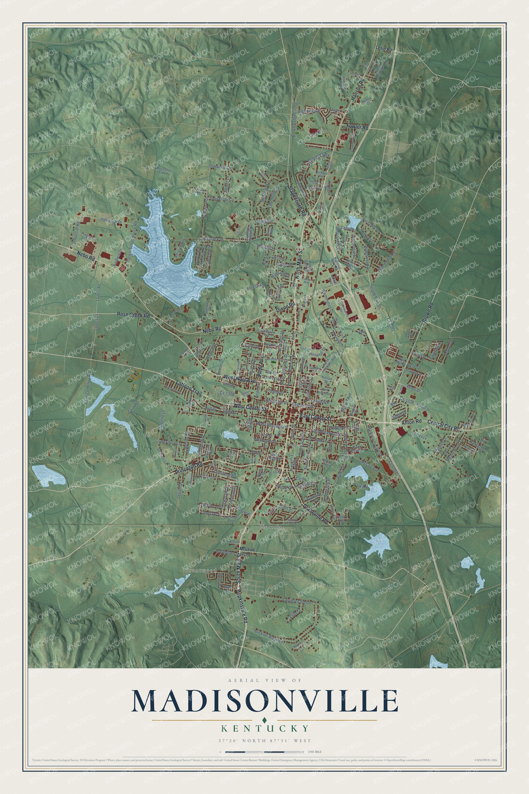
This beautifully detailed map of Madisonville, Kentucky was created in 2026 using aerial imagery combined with modern topographical, census, street and landmark data. It’s a one-of-a-kind view of Madisonville that combines accurate data with a vintage aesthetic. The map shows every building in its true location, many of the roads carry their names, and the shaded topographic relief shows the shape of the land.
Explore an aerial view of Madisonville, Kentucky
On the map you’ll find Brentwood, Mahr Park, and Victoria, along with South Main Street, North Main Street, East Center Street, Princeton Road, West Noel Avenue, Grapevine Road, Hopkinsville Road, Laffoon Trail, Anton Road, and more. If you look closely you can even find your house accurately drawn in its correct location. Zoom in on the preview to look for yours.
Did you know this about Madisonville, Kentucky?
From the Collins History of Kentucky: "An Old Fort, or fortification, on a high and rocky hill, about 4 miles from Madisonville, is an object of curious interest."
Take a closer look at the Madisonville map
Street and place names on the Madisonville, Kentucky map
These names are printed on the map of Madisonville, Kentucky.
Places: Brentwood, Mahr Park and Victoria.
Streets and roads: South Main Street, North Main Street, East Center Street, Princeton Road, West Noel Avenue, Grapevine Road, Hopkinsville Road, Laffoon Trail, Anton Road, Central City Road, Nebo Road, West Center Street.
More street names, A to Z
Abbott Lane, Aberdeen Drive, Alley 1, Alley 4, Alley 8, Allison Avenue, Alvey Drive, Angle Circle, Arnold Place, Arrowhead Drive, Athey Drive, Badgett Lane, Bailey Drive, Baldwin Drive, Ballard Lane, Barnett Boulevard, Bartlett Avenue, Bartlett Drive, Bassett Avenue, Baxter Avenue, Bayview Drive, Bean Cemetery Road, Beech Tree Lane, Bell Drive, Belmont Drive, Boone Drive, Boyscout Camp, Branch Street, Brown Badgett Loop, Browning Street, Brown Lane, Brown Road, Buckner Ridge Lane, Buckner Street, Buck Trce, Buffalo Trce, Buntin Lane, Carlisle Drive, Castleton Drive, Cathlyn Drive, Celeste Lane, Chelsea Drive, Cherokee Drive, Chickasaw Drive, Choctaw Street, Chur Drive, Clifty Street, Club Court, College Drive, College Heights Drive, Comer Drive, Commerce Drive, Cord, Country Club Lane, Crosswinds Drive, Cs-1034, Cs-1038, Cs-1100, Cs-1152, Cs-1153, Cs-1308, Cs-1391, Cs-1414, Deep Creek Drive, Devonshire Street, Dixon Road, Dodson Lane, Don Earl Street, Downing Lane, Dulin Street, Earlwood Drive, East Arch Street, East Ayr Parkway, East Broadway Street, East Noel Avenue, Eastside Lane, Echo Lane, Elm Street, Fairway View Drive, Fernwood Drive, Finley Drive, Forefar Lane, Fowler Road, Givens Street, Graves Street, Green Meadows Drive, Hall Street, Halson Street, Hanson Road, Hanson Street, Hayes Avenue, Hickory Drive, Hickory Hollow Drive, Highland Drive, Hillcrest Drive, Hipple Street, Hodge Street, Holiday Place, Hopewell Street, Hospital Drive, Hunters Glen, Independence Drive, Industrial Drive, Industrial Road, Island Ford Road, Island Park Drive, Jacklin Drive, Ken Mel Drive, Kingsway Drive, La-1003, La-1008, Lago Drive, Lake Chester Drive, Lakemont Drive, Lake Peewee Road, Lakeshore Drive, Lakeside Drive, Lakeview Drive, Lantaff Boulevard, Legion Drive, Lenin Road, Lightfoot Lane, Logan Street, Lomond Drive, Lovan Lane, Lovers Lane, Lovers Road, Madison Square Drive, Marty Drive, McCoy Avenue, McLeod Lane, McPherson Drive, Meadow Lane, Meadowlark Lane, Mill Creek Court, Mitchell Drive, Montrose Drive, Mooreland Avenue, Morton Avenue, Murray Street, National Mine Road, Nisbet Street, North Franklin Street, North Kentucky Avenue, North Russell Drive, North Scott Street, North Seminary Street, Oakdale Avenue, Oak Street, Oakwood Lane, Oates Street, Oldham Lane, Osborne Lane, Osborn Lane, Park Avenue, Park Avenue Court, Park Road, Patriot Drive, Pebble Creek Drive, Pepper Drive, Pin Oak Lane, Plainview Drive, Polly Drive, Potts Drive, Pride Avenue, Progress Drive, Race Street, Randell Drive, Reed Avenue, Renfro Drive, Ridgewood Drive, Rose Creek Road, Rosemont Drive, Scanfield Drive, School Street, Scott Drive, Seminary Street, Shamrock Drive, Simmental Street, South Drive, South Franklin Street, South Kentucky Avenue, South Park Avenue, South Scott Street, South Spring Street, Spyglass Court, Stagecoach Road, Sugg Street, Summit Street, Sunrise Drive, Sunset Drive, Sycamore Lane, Tartan Drive, Thompson Avenue, Thornberry Drive, Thornhill Road, Tucker Schoolhouse Road, Union Street, University Circle, Valley Drive, Vera Drive, Versnick Way, Victoria Street, Weldon Avenue, Wells Avenue, West Arch Street, West Broadway Street, West Jagoe Street, West Lake Street, Westside Avenue, Westview Drive, Wexford Way, Whit Lane, Whittington Drive, Wilson Street, Wiman Drive, Winding Creek, Woodlawn Drive, Woodson Avenue, Wyatt Avenue.
See the Madisonville, Kentucky map on a wall
The Madisonville map as an 18 x 24 inch print in a black frame.

This beautifully detailed map of Madisonville makes an attractive addition to your office, library, or den, and it can even be used to teach children the geography and history of the area. It also makes a great gift for someone who left Madisonville and still calls it home. When you’re done exploring, click here to get your copy of the Madisonville map.