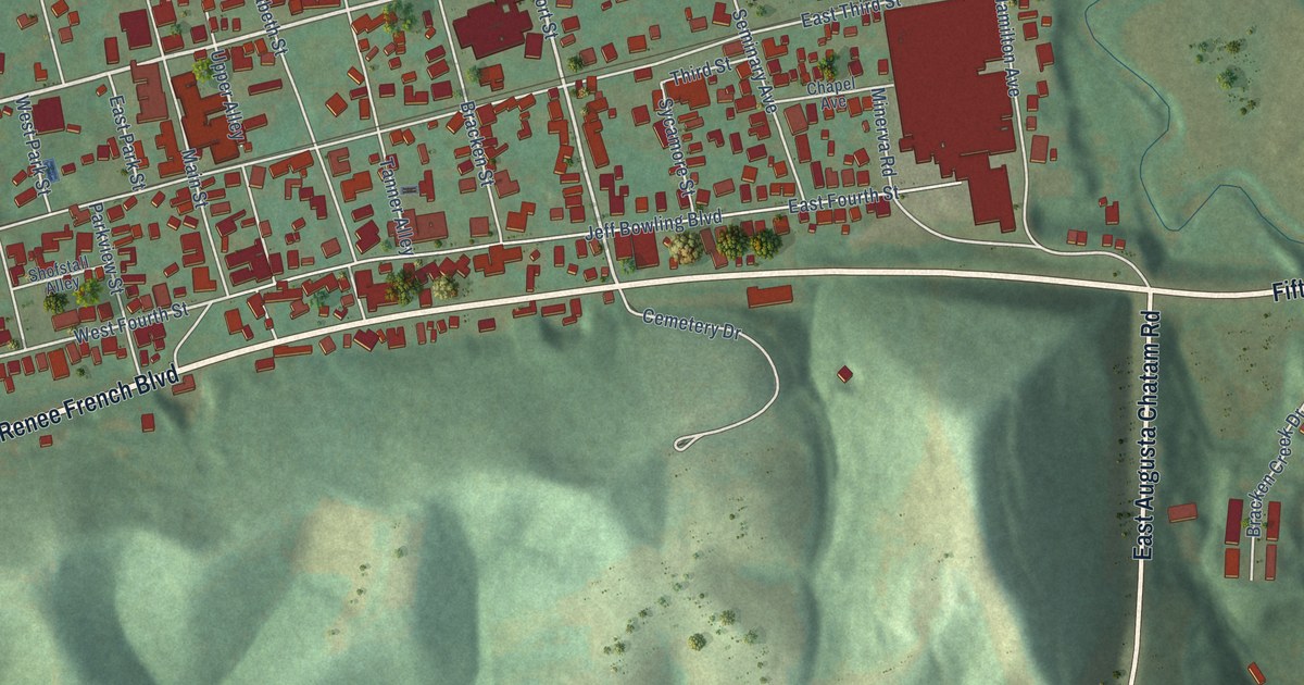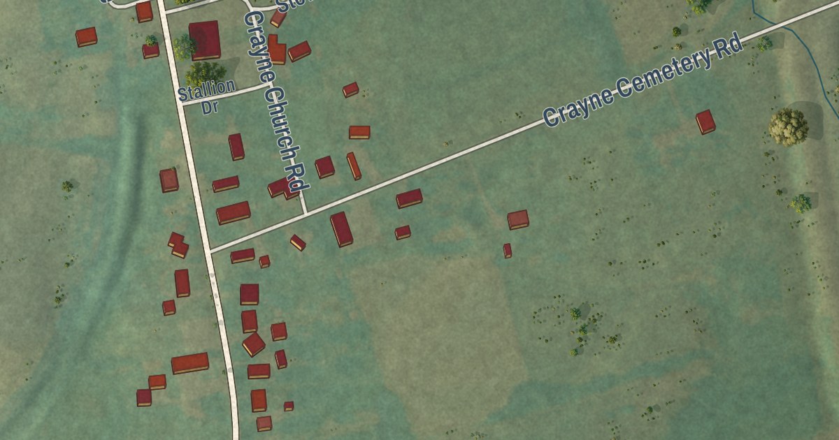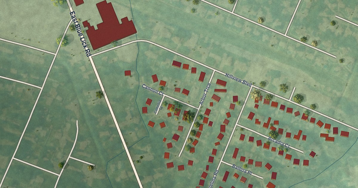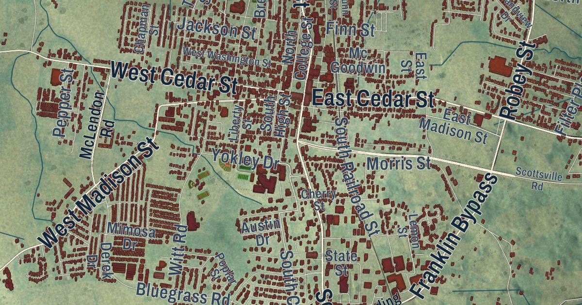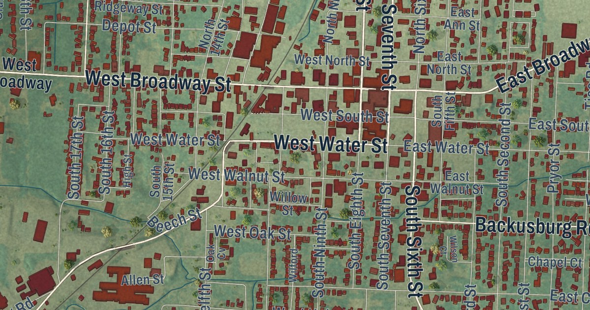
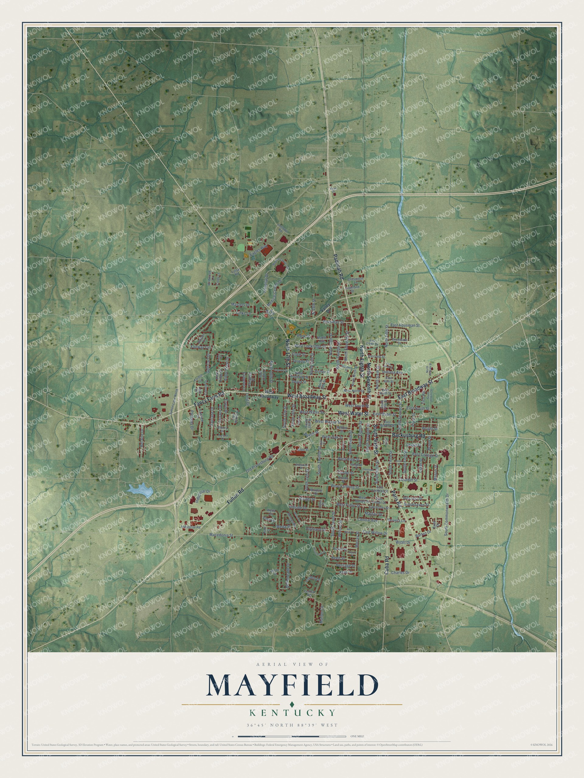
This beautifully detailed map of Mayfield, Kentucky was created in 2026 using aerial imagery combined with modern topographical, census, street and landmark data. It’s a one-of-a-kind view of Mayfield that combines accurate data with a vintage aesthetic. The map shows every building in its true location, many of the roads carry their names, and the shaded topographic relief shows the shape of the land.
Explore an aerial view of Mayfield, Kentucky
On the map you’ll find Lions Club Park, Maplewood Cemetery, and West Broadway, along with North Seventh Street, East Broadway Street, West Water Street, West Broadway Street, Fulton Road, Fancy Farm Road, North Eighth Street, South Sixth Street, Paducah Road, and more. If you look closely you can even find your house accurately drawn in its correct location. Zoom in on the preview to look for yours.
Did you know this piece of Mayfield, Kentucky history?
From the National Park Service: "In 1859 the Paducah and Elizabethtown Railway (later the Illinois Central Gulf) extended their line from Mayfield in Graves County to the Tennessee line."
Take a closer look at the Mayfield map
Street and place names on the Mayfield, Kentucky map
These names are printed on the map of Mayfield, Kentucky.
Places: East Cemetery.
Streets and roads: North Seventh Street, East Broadway Street, West Water Street, West Broadway Street, Fancy Farm Road, North Eighth Street, Fulton Road, South Sixth Street, Paducah Road, Paris Road, Cuba Road, North 17th Street.
More street names, A to Z
Allen Street, Arbor Court, Arbor Crest Drive, Arbor Ridge Drive, Babb Drive, Backusburg Road, Barger Street, Barton Drive, Beech Street, Bel Aire Drive, Bellemeade Drive, Berry Drive, Boone Street, Brand Street, Brian Drive, Brookhaven Street, Brookside Drive, Camelot Lane, Campbell Court, Center Street, Central Avenue, Central Road, Chapel Court, Charles Drive, Cherry Drive, Cindy Lane, Clark Street, Cleveland Street, Copeland Drive, Crittendon Lane, Depot Street, Dogwood Drive, Douthitt Street, Dowdy Street, Drivers Lane, Duffers Lane, Dunbar Street, Eagles Way, East Ann Street, East College Street, East Farthing Street, East Fuller Street, East Housman Street, East James Street, East Lee Street, East North Street, East South Street, East Sunset Drive, East Walnut Street, East Water Street, East Willow Drive, Erwin Drive, Fairlane Drive, Fairview Drive, Fairway Circle, Forest Circle, Gardner Street, Golf Cart Drive, Golf Club Lane, Green Street, Heritage Drive, Highland Street, High Street, Hillcrest Drive, Hillside Drive, Hospital Drive, Housman Street, Indiana Avenue, Industrial Drive, Industrial Road, Jimtown Road, Jones Street, Kess Drive, Lake Drive, Lincoln Drive, Linden Drive, Links Lane, Long Drive, Luisa Road, Macedonia Street, Maple Avenue, Marion Circle, Mason Street, Masters Drive, Mayfair Drive, Meadowlark Drive, Medical Center Circle, Medical Center Drive, Murray Street, N.15th Street, North 13th Street, North 14th Street, North 15th Street, North 18th Street, North Eleventh Street, North Fifth Street, North Jenkins Street, North Ninth Street, North Sixth Street, North Twelfth Street, Oak Cv, Old Pryorsburg Road, Park Drive, Parker Street, Parkway Drive, Pine Court, Pine Lane, Pryor Street, Red Bird Lane, Reed Street, Ridgeway Street, Saint Martins Lane, Shelwood Drive, Skylark Drive, Slaughter Street, South 14th Street, South 15th Street, South 16th Street, South 17th Street, South Commonwealth Drive, South Eighth Street, South Fifth Street, South First Street, South Jenkins Street, South Ninth Street, South Second Street, South Seventh Street, South Tenth Street, South Third Street, South Twelfth Street, Sunnyside Drive, Sutton Lane North, Terrace Drive, Tice Road, Usher Street, Valley Drive, Weda Circle, Weda Street, West Broadway, West Farthing Street, West Fuller Street, West Hale Street, West Lockridge Street, West North Street, West Oak Street, West Ridgeway Street, West South Street, West Sunset Drive, West Walnut Street, West Willow Drive, Wildwood Lane, Wilford, Wilford Street, Willow Street, Wilson Court, Wilton Avenue, Windsor Drive, Wright Street, Wyatt Drive.
See the Mayfield, Kentucky map on a wall
The Mayfield map as an 18 x 24 inch print in a black frame.

This beautifully detailed map of Mayfield makes an attractive addition to your office, library, or den, and it can even be used to teach children the geography and history of the area. It also makes a great gift for anyone with Mayfield roots. When you’re done exploring, click here to get your copy of the Mayfield map.