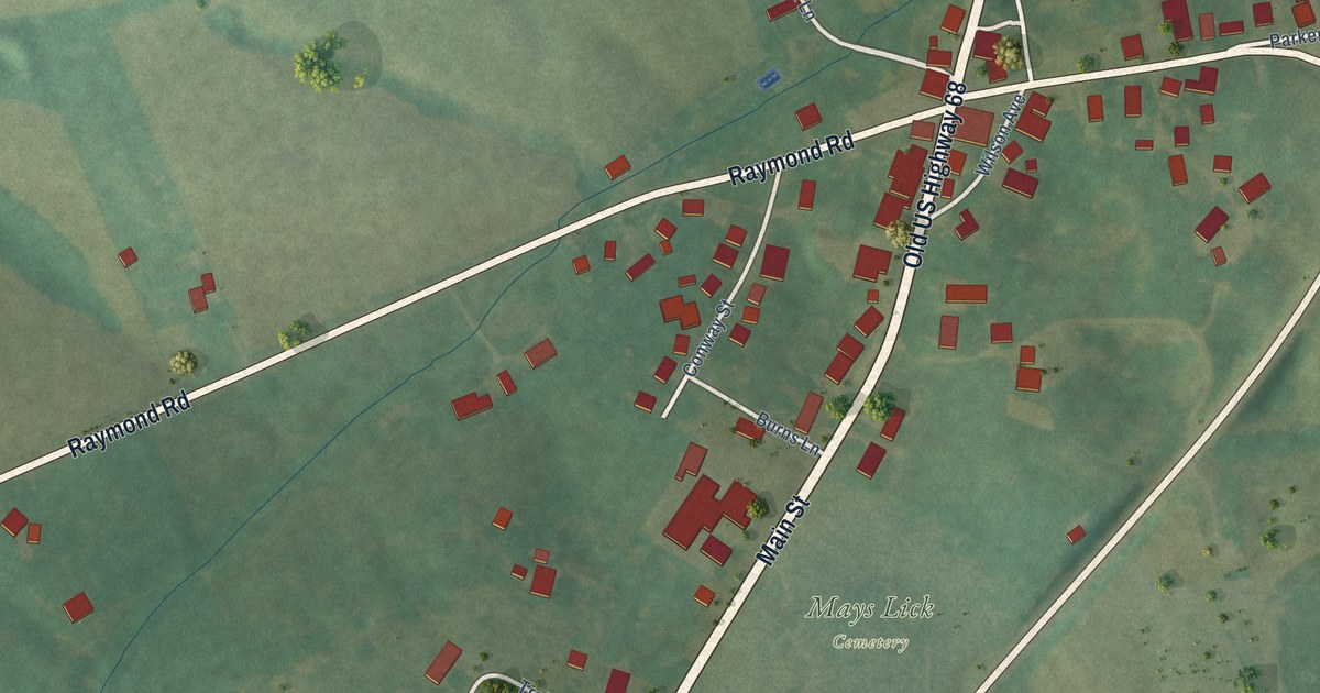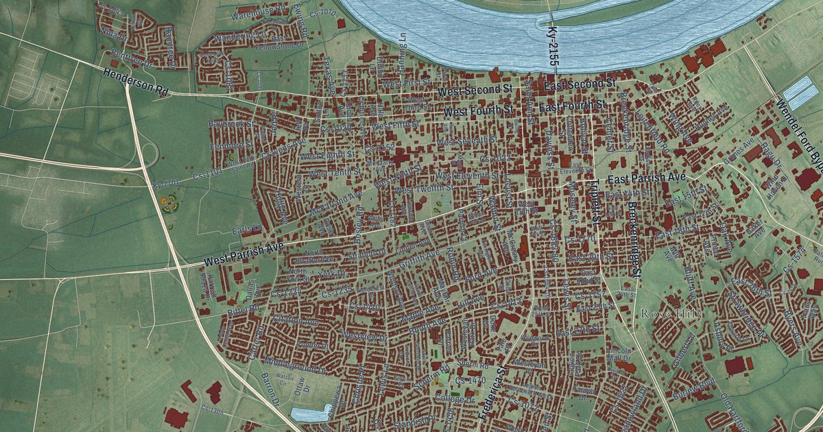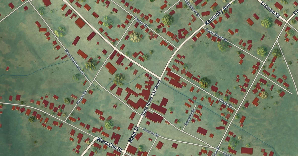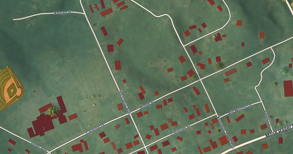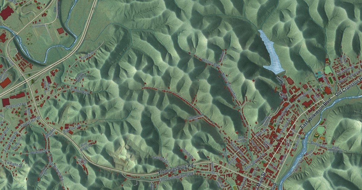
This beautifully detailed map of Morehead, Kentucky was created in 2026 using aerial imagery combined with modern topographical, census, street and landmark data. It’s a one-of-a-kind view of Morehead that combines accurate data with a vintage aesthetic. The map shows every building in its true location, many of the roads carry their names, and the shaded topographic relief shows the shape of the land.
Explore an aerial view of Morehead, Kentucky
On the map you’ll find Brady, Rodburn, and Christy, along with Old Cranston Highway, West Main Street, Main Street, Clearfield Road, East Main Street, East Wilkinson Boulevard, West Wilkinson Boulevard, Flemingsburg Road, First Street, and more. If you look closely you can even find your house accurately drawn in its correct location. Zoom in on the preview to look for yours.
Did you know this piece of Morehead, Kentucky history?
From the Kentucky A Guide to the Bluegrass State: "Morehead was the first site of the Eastern Kentucky Moonlight Schools that were created in 1911 by Cora Wilson Stewart and the teachers of Rowan County."
Take a closer look at the Morehead map
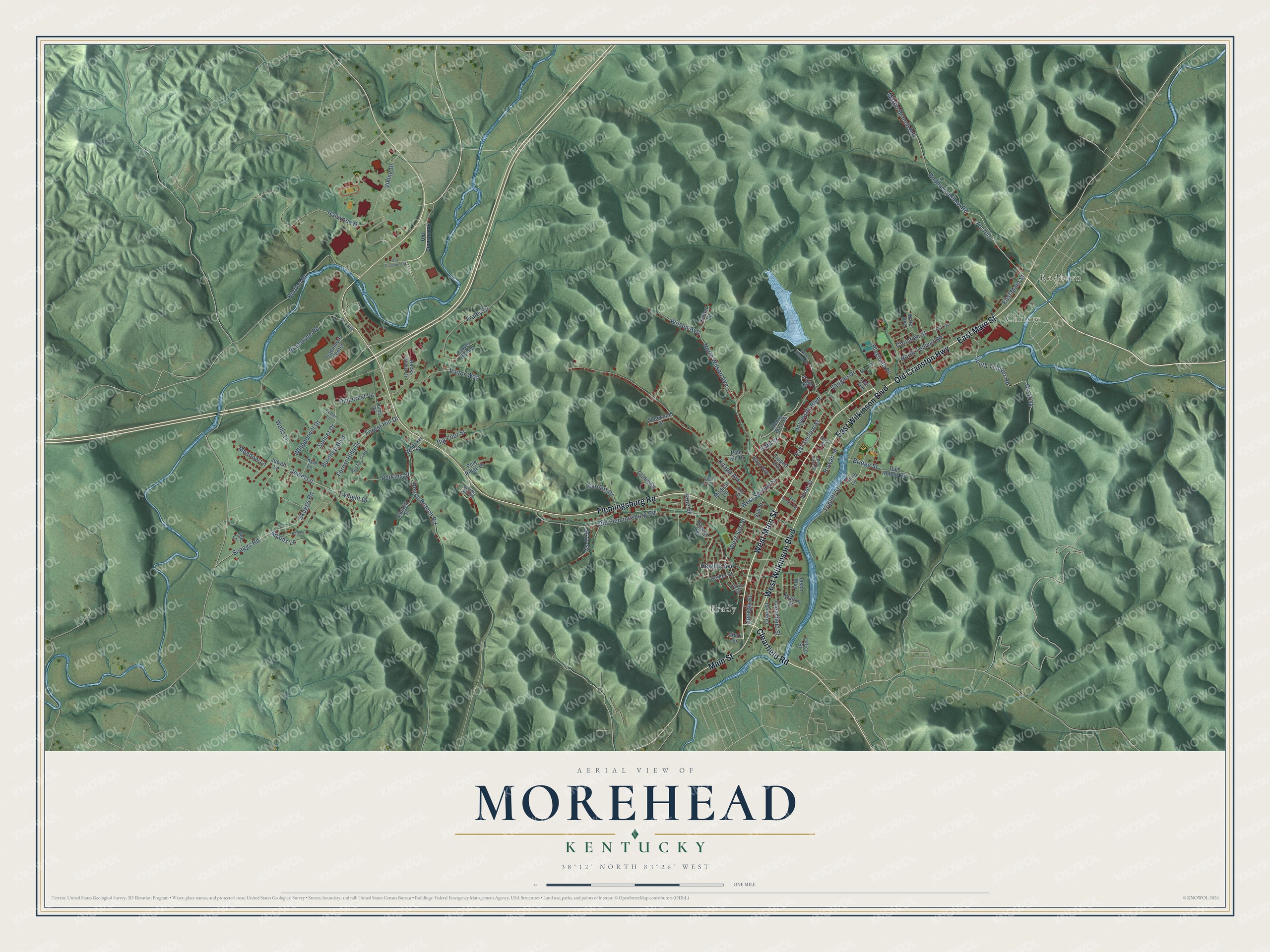
Street and place names on the Morehead, Kentucky map
These names are printed on the map of Morehead, Kentucky.
Places: Brady, Rodburn and Christy.
Streets and roads: Old Cranston Highway, West Main Street, Main Street, Clearfield Road, East Main Street, East Wilkinson Boulevard, West Wilkinson Boulevard, Flemingsburg Road, First Street, Jewel Lane, Forest Hills Drive, Fifth Street.
More street names, A to Z
Adams Lane, Allen Avenue, Bartlett Drive, Bays Avenue, Bert Lane, Big Four Street, Bluestone Road, Bratton Br, Bridge Street, Burchett Boulevard, Caleb Lane, Carver Hollow, Caudill Street, Cecil Drive, Center Street, Christian Street, Clearfield Street, Clinic Drive, Cr-1398, Cs-1034, Cs-1137, Cs-1190, Dam Hollow Road, Divide Hill Road, East First Street, East Second Street, Evans Branch Road, Fd-1001, Forest Hill Drive, Fraley Drive, Georgia Street, Green Street, Hallwood Drive, Hecks Plaza Drive, Heights Avenue, Henry Ward Place, Jason Way, Jewell Lane, Knapp Avenue, Kyle Lane, Lee Avenue, Martin Branch Road, Meadow Lane, Medical Circle, Morrow Street, North Tolliver Road, North Wilson Avenue, Office Street, Old Cranston Road, Old Flemingsburg Road, Page Drive, Pence Branch Road, Perkins Street, Pinecrest Lane, Pine Hill Drive, Pine Ridge Drive, Pine Street, Playforth Place, Potter Lane, Rawcel Heights, Red Fox Trail, Rodburn Hollow Road, Rowan Street, Scaggs Road, Sherwood Court, Skaggs Road, South Hargis Avenue, South Tolliver Road, Stork Lane, Sunset Drive, Sun Street, The Lane, Timber Lane, Tippett Avenue, Toms Drive, Trademore Center, Triplett Street, Twilight Drive, Union Street, University Boulevard, Vaughn Drive, Vernon Circle, Victor Way, Viking Drive, Walton Street, Water Avenue, Wells Lane, West Second Street, West Sun Street, Whipporwill Drive, Whitaker Street, Wilson Avenue.
See the Morehead, Kentucky map on a wall
The Morehead map as an 18 x 24 inch print in a black frame.

This beautifully detailed map of Morehead makes an attractive addition to your office, library, or den, and it can even be used to teach children the geography and history of the area. It also makes a great gift for anyone with Morehead roots. When you’re done exploring, click here to get your copy of the Morehead map.