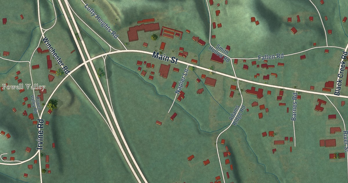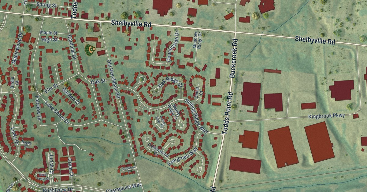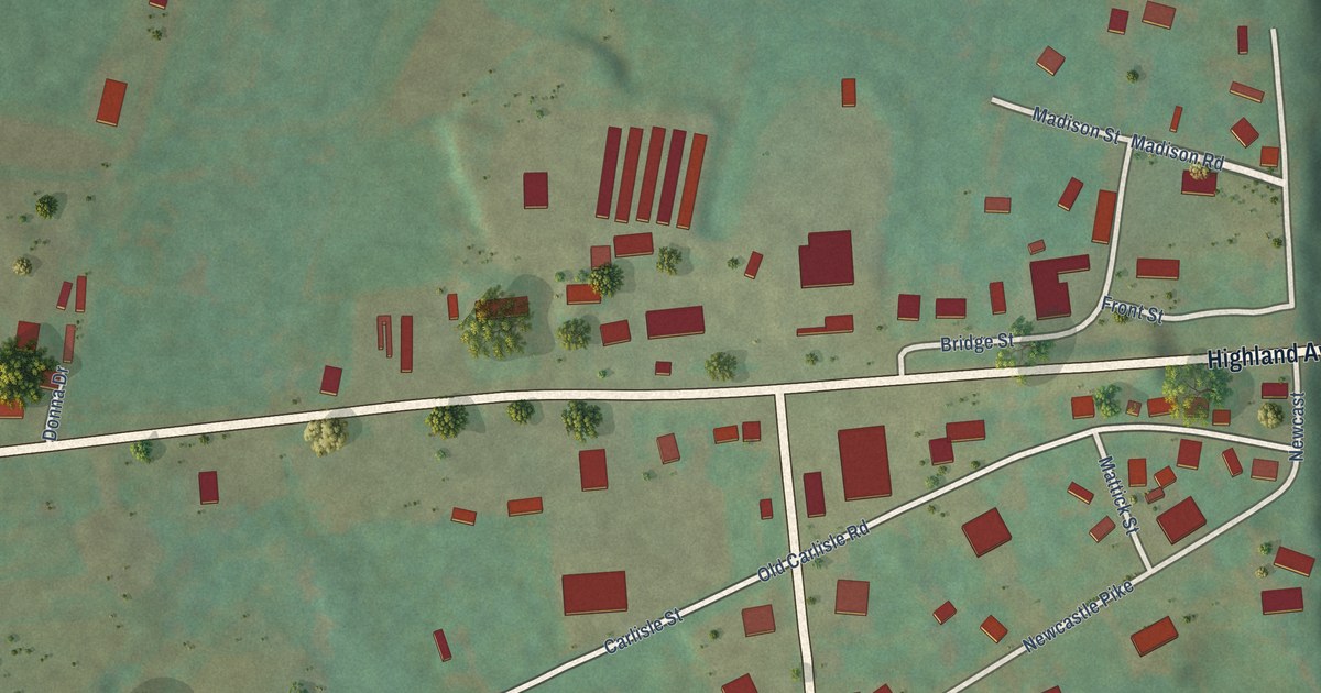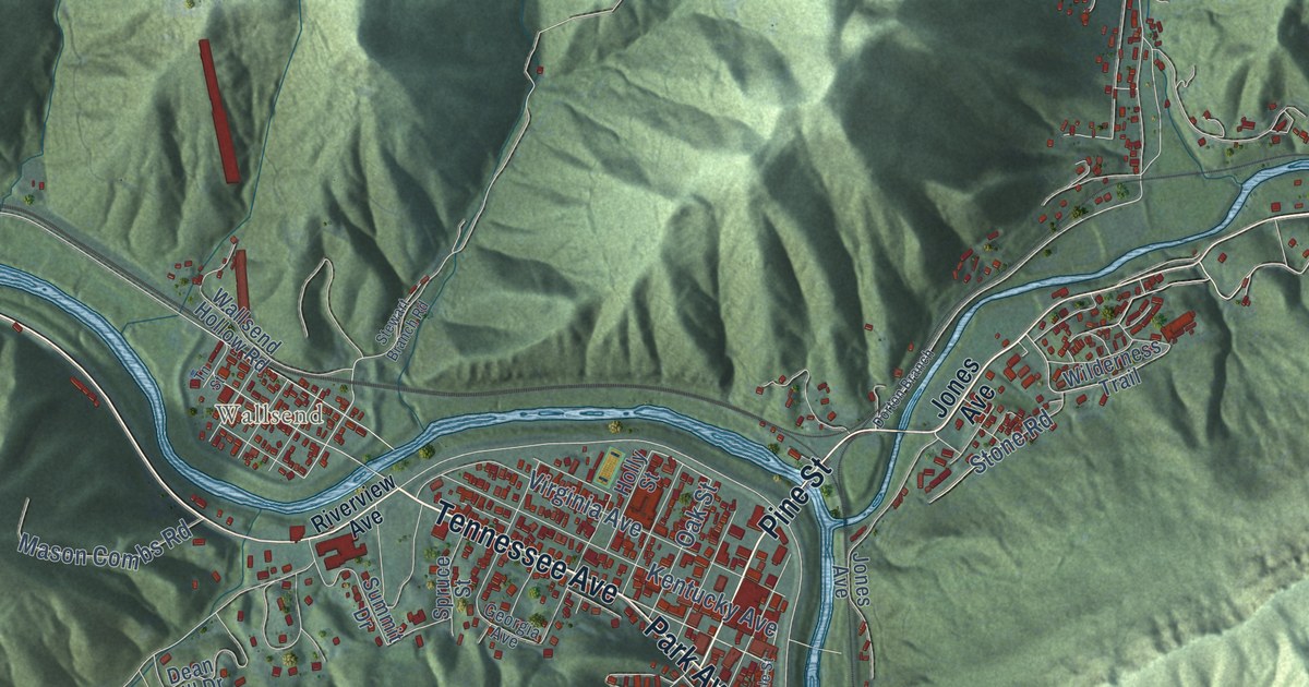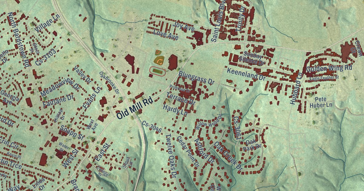
This beautifully detailed map of Mount Washington, Kentucky was created in 2026 using aerial imagery combined with modern topographical, census, street and landmark data. It’s a one-of-a-kind view of Mount Washington that combines accurate data with a vintage aesthetic. The map shows every building in its true location, many of the roads carry their names, and the shaded topographic relief shows the shape of the land.
Explore an aerial view of Mount Washington, Kentucky
On the map you’ll find Cs-3002, Cs-3209, and Cs-3218, along with Mount Washington Bypass, Old Mill Road, Saint Louis Boulevard, Bogard Lane, West Woodlake Circle, Lloyd Lane, East Street, Beechtree Lane, Delaina Drive, and more. If you look closely you can even find your house accurately drawn in its correct location. Zoom in on the preview to look for yours.
Did you know this piece of Mount Washington, Kentucky history?
From the Kentucky Atlas and Gazetteer: "Mount Washington is a northeastern Bullitt county town. It was founded in the early nineteenth century and was known as Crossroads."
Take a closer look at the Mount Washington map
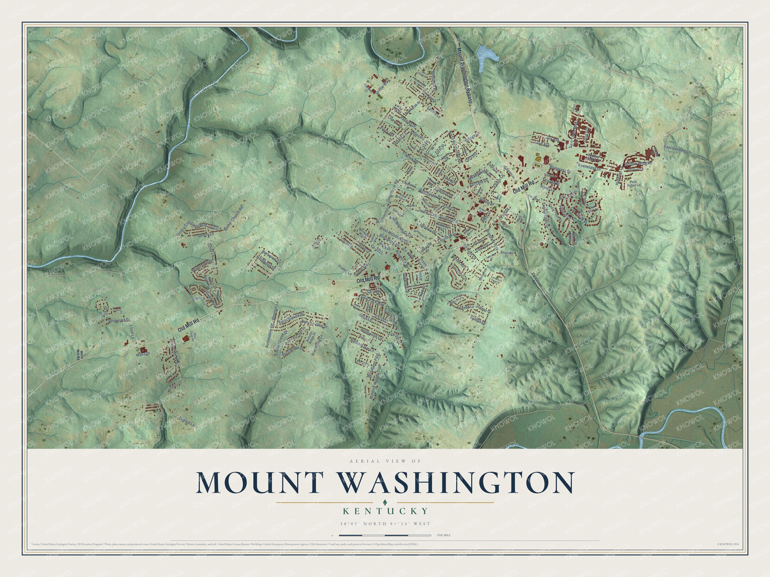
Street names on the Mount Washington, Kentucky map
These names are printed on the map of Mount Washington, Kentucky.
Streets and roads: Mount Washington Bypass, Old Mill Road, Saint Louis Boulevard, Bogard Lane, West Woodlake Circle, Lloyd Lane, East Street, Cs-3002, Beechtree Lane, Cs-3209, Delaina Drive, Cs-3218.
More street names, A to Z
Adams Drive, Adrian Avenue, Apollo Drive, Armstrong Lane, Ashford Drive, Automobile Road, Autumn Glen Drive, Autumn Ridge Drive, Autumn Way, Barbara Sue Lane, Bardstown Road, Bayberry Court, Beechwood Lane, Bells Mill Road, Benjamin Place, Berger Farm Drive, Bethel Church Road, Black Oak Drive, Bleemel Lane, Bluegrass Drive, Boaz Lane, Boxwood Run, Branham Way, Briarcliff Court, Bryce Way, Burlwood Circle, Burnt Sienna Drive, Canterbury Trace Drive, Carla Drive, Cedar Point Drive, Cherry Hill Parkway, Clearview Drive, College Street, Colonial Drive, Concord Drive, Copper Creek Drive, Cornell Avenue, Cr-1559, Crimson Creek Drive, Crown Court, Crystal View Court, Cs-3046, Cs-3061, Cs-3103, Cs-3146, Cs-3221, Cs-3227, Cs-3237, Deer Park Way, Dogwood Drive, Dover Court, Duane Way, Eagle Feather Street, East Lakeview Drive, East Sanders Lane, East Woodlake Circle, Ellis Cook Road, Emma Court, Erin Circle, Evans Lane, Fairlane Drive, Fernwood Drive, Fillmore Circle, First Street, Fisher Lane, Flatlick Road, Forest Ridge Drive, Fortney Lane, Galway Drive, Gardner Court, Garnette Court, Gentry Crossings Boulevard, Gentry Lane, Georgia Avenue, Glen Ridge Drive, Golden Wing Road, Greenbriar Road, Greenfield Circle, Green Tree Lane, Griffin Way, Harding Drive, Hardwood Drive, Hardy Lane, Hare Lane, Harris Drive, Helm Lane, Helmwood Circle, Heritage Way, Hillcrest Drive, Hilltop Drive, Holly Drive, Hubbard Lane, Ivy Drive, Jasper Lane, John Austin Lane, Joy Avenue, Justin Trail, Justin Trce, Keeneland Drive, Kevin Place, Kimberly Drive, Lakewood Drive, Landis Lane, Lentz Lane, Lincoln Drive, Linda Drive, London Square, Louise Way, Louis Lane, Love Avenue, Martha's Court, Meadowcrest Drive, Meadows Drive, Meadowview Drive, Misty Brooke Drive, Nami Lane, North Bardstown Road, Oakbrooke Drive, Oak Creek Drive, Oak Park Drive, Park Ridge Drive, Persimmon Drive, Pete Huber Lane, Pierce Avenue, Pin Oak Drive, Primrose Drive, Redbud Drive, Sandra Drive, Scenic View Court, Senate Lane, Simmons Lane, Snapp Street, Spencer Lane, Springdale Drive, Stone Meadow Drive, Stout Lane, Stout Street, Stringer Lane, Sunday Silence Drive, Sunnyside Drive, Terrace Drive, Trevor Court, Trey Drive, Trinity Drive, Twelve Oaks Drive, Valley Drive, Village Lane, Water Street, Wava Drive, West Avenue, West Street, White Oak Court, Wilchar Boulevard, Willow Wood Drive, Winchester Drive, Winding Woods Trail, Woodlake Drive, Woodland Pass.
See the Mount Washington, Kentucky map on a wall
The Mount Washington map as an 18 x 24 inch print in a black frame.

This beautifully detailed map of Mount Washington makes an attractive addition to your office, library, or den, and it can even be used to teach children the geography and history of the area. It also makes a great gift for anyone who grew up in Mount Washington or moved away. When you’re done exploring, click here to get your copy of the Mount Washington map.