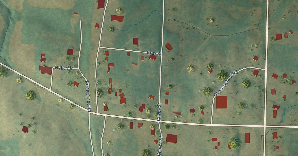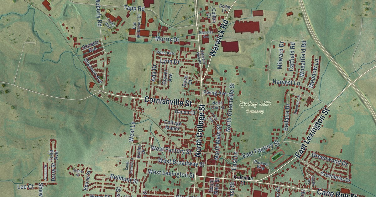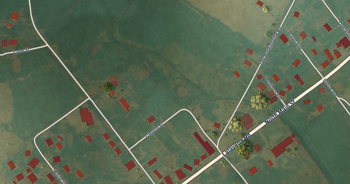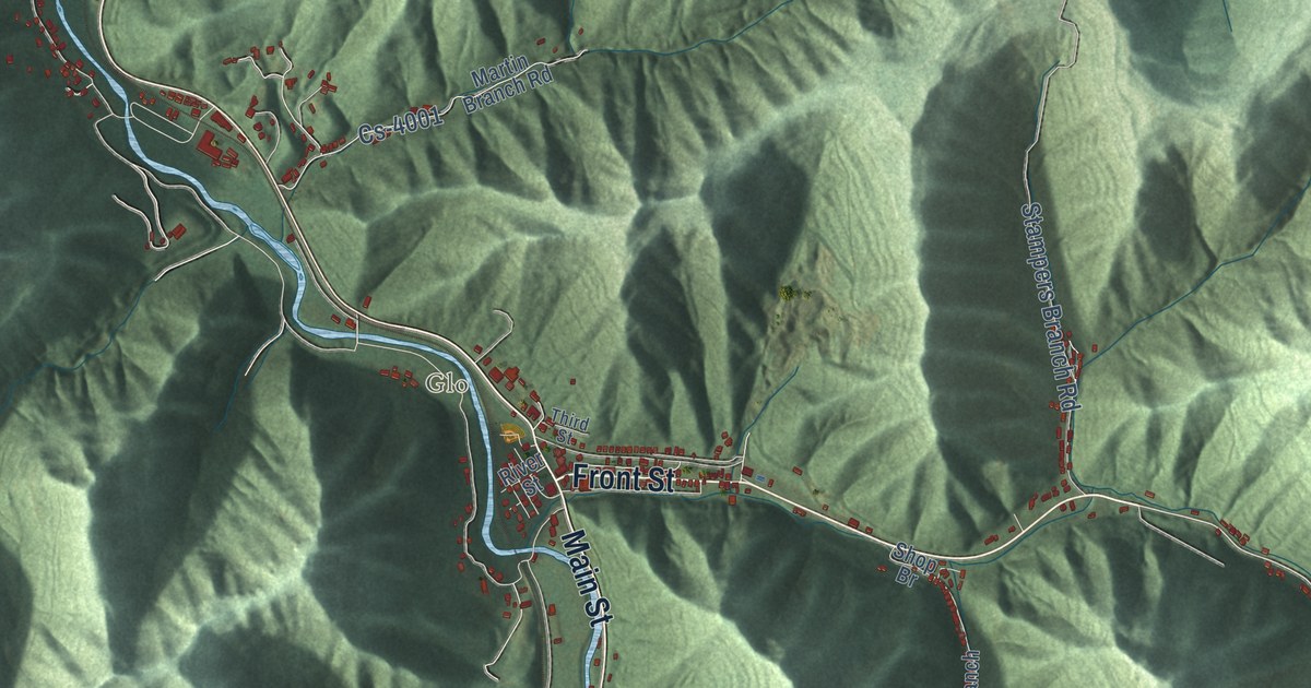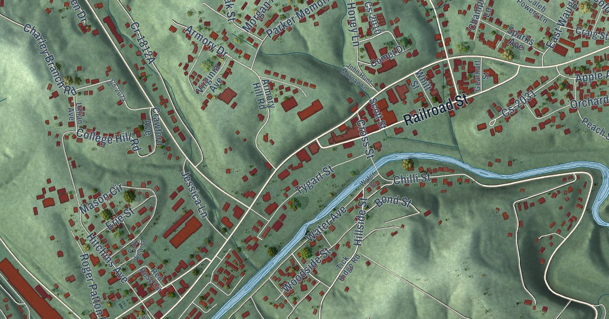
This beautifully detailed map of Olive Hill, Kentucky was created in 2026 using aerial imagery combined with modern topographical, census, street and landmark data. It’s a one-of-a-kind view of Olive Hill that combines accurate data with a vintage aesthetic. The map shows every building in its true location, many of the roads carry their names, and the shaded topographic relief shows the shape of the land.
Explore an aerial view of Olive Hill, Kentucky
On the map you’ll find Counts Crossroads, along with West Carter Drive, Mills Branch Road, Railroad Street, Ridge Drive, Chilli Street, Linwood Drive, Cross Street, Tygart Street, Hillside Street, Kern Street, Shannon Avenue, and more. If you look closely you can even find your house accurately drawn in its correct location. Zoom in on the preview to look for yours.
Did you know this piece of Olive Hill, Kentucky history?
From the Kentucky Atlas and Gazetteer: "The original site was on a hill, now known as Old Olive Hill, but the town moved to the tracks of the new Elizabethtown, Lexington, and Big Sandy Railroad in 1882."
Take a closer look at the Olive Hill map
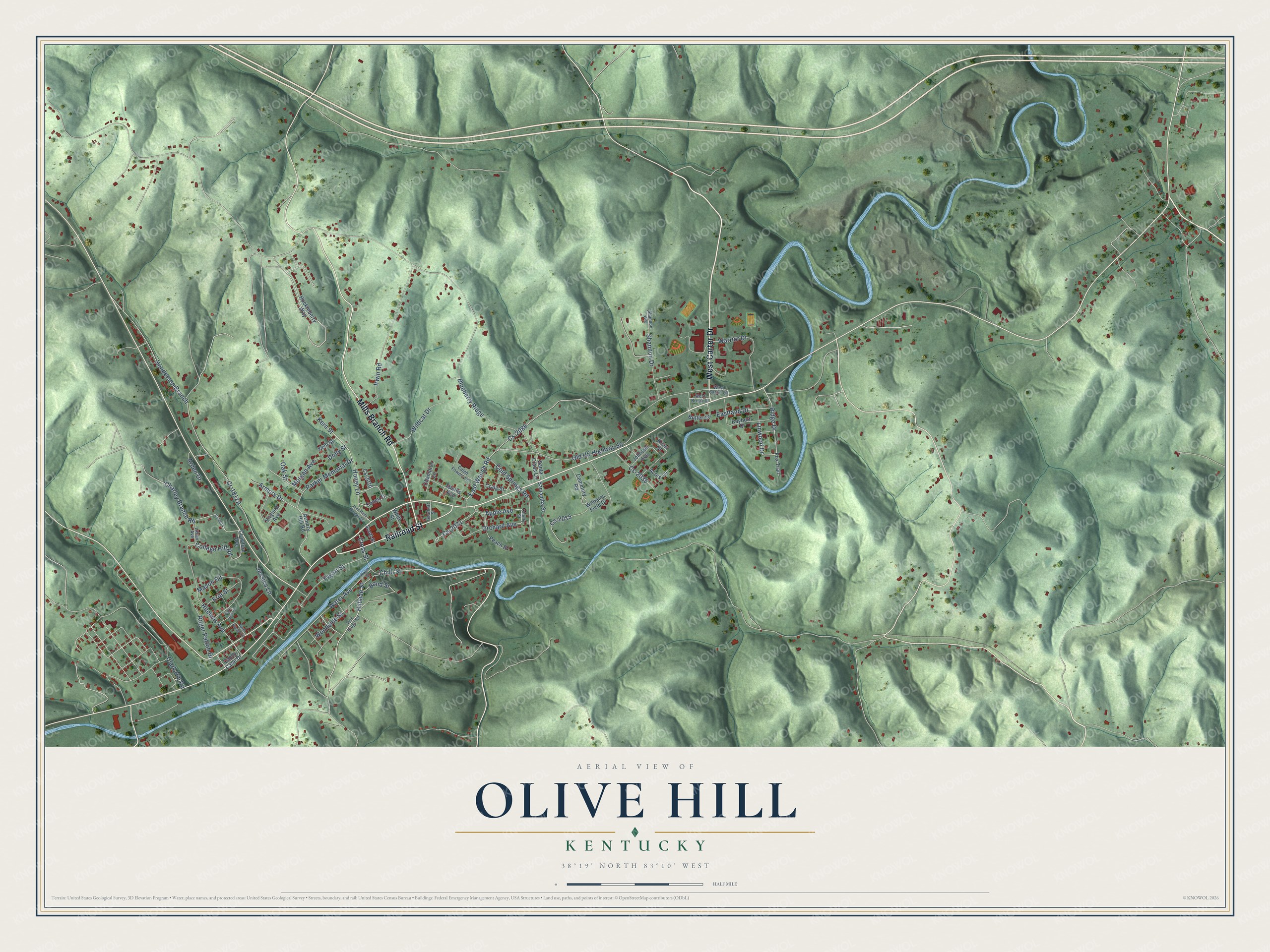
Street names on the Olive Hill, Kentucky map
These names are printed on the map of Olive Hill, Kentucky.
Streets and roads: West Carter Drive, Mills Branch Road, Railroad Street, Ridge Drive, Hillside Street, Linwood Drive, Chilli Street, Tygart Street, Kern Street, Cross Street, Henderson Branch, Old US Highway 60.
More street names, A to Z
Acorn Lane, Apple Avenue, Arden Drive, Armory Drive, Armory Hill Road, Blueberry Ridge, Bond Street, Butler Circle, Caleb Powers Lane, Candy Cane Drive, Cemetery Road, Champion Lane, Charley Branch Road, Cherry Street, Clark Hill Road, Cold Springs Road, College Hill Road, Comet Drive, Craig Street, Crawford Avenue, Cs-2010, Cs-2015, Cs-2031, Cs-2035, Cs-2074, Cs-2086, Dolly Street, Eastland Drive, East Waugh Road, Erie Street, Fox Trail, Gearhart Street, Hitchins Avenue, Honey Lane, Huckleberry Way, Irwin Road, Jessica Lane, John Hunt Morgan Lane, Johnson Avenue, Kelli Street, Kiser Street, Lillian Avenue, Mason Circle, Morgan Avenue, Oak Street, Orchard Avenue, Parker Memorial Drive, Park View Street, Peach Street, Rayburn Drive, Red Rose Circle, Roger Patton Drive, Samantha Street, Santa Claus Lane, Scott Street, Shannon Avenue, Shannon Drive, Sparks Avenue, Tick Ridge Road, Virginia Avenue, Warrior Drive, Water Avenue, Water Street, West Brook Drive, Whitt Street, Wildcat Drive, Williams Field Drive, Woodside Street.
See the Olive Hill, Kentucky map on a wall
The Olive Hill map as an 18 x 24 inch print in a black frame.

This beautifully detailed map of Olive Hill makes an attractive addition to your office, library, or den, and it can even be used to teach children the geography and history of the area. It also makes a great gift for anyone with Olive Hill roots. When you’re done exploring, click here to get your copy of the Olive Hill map.