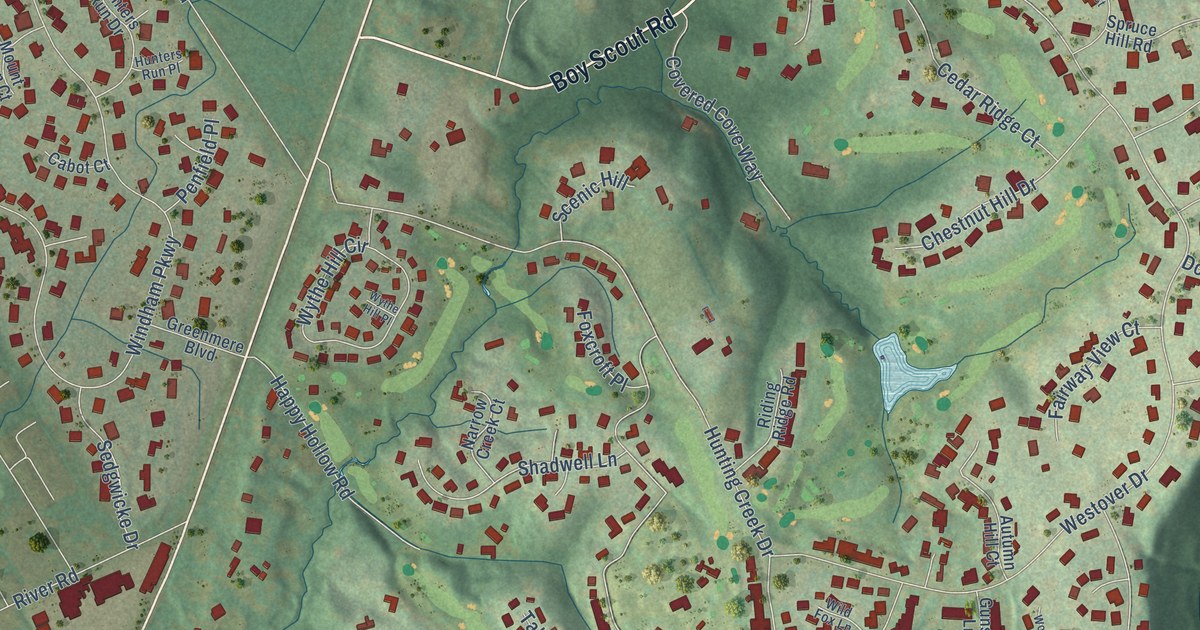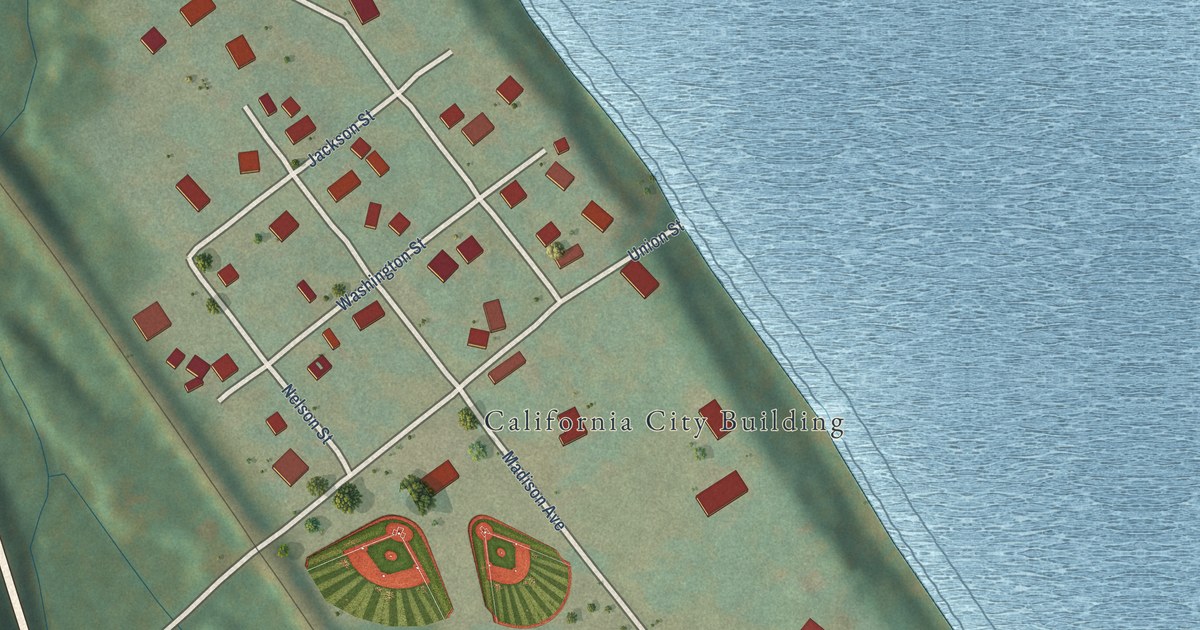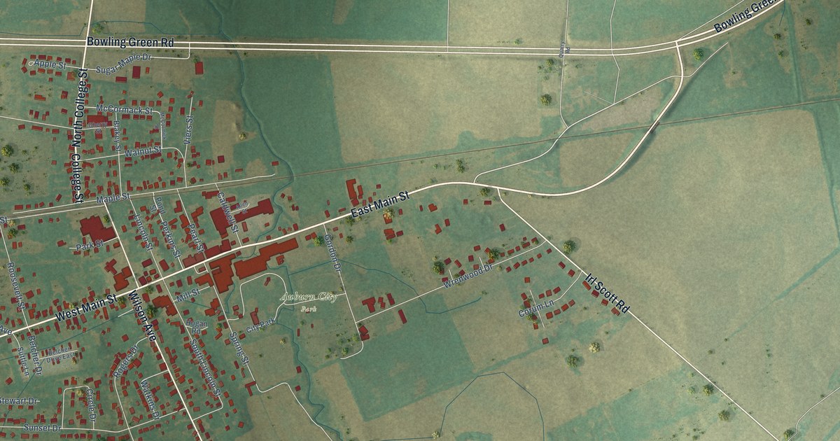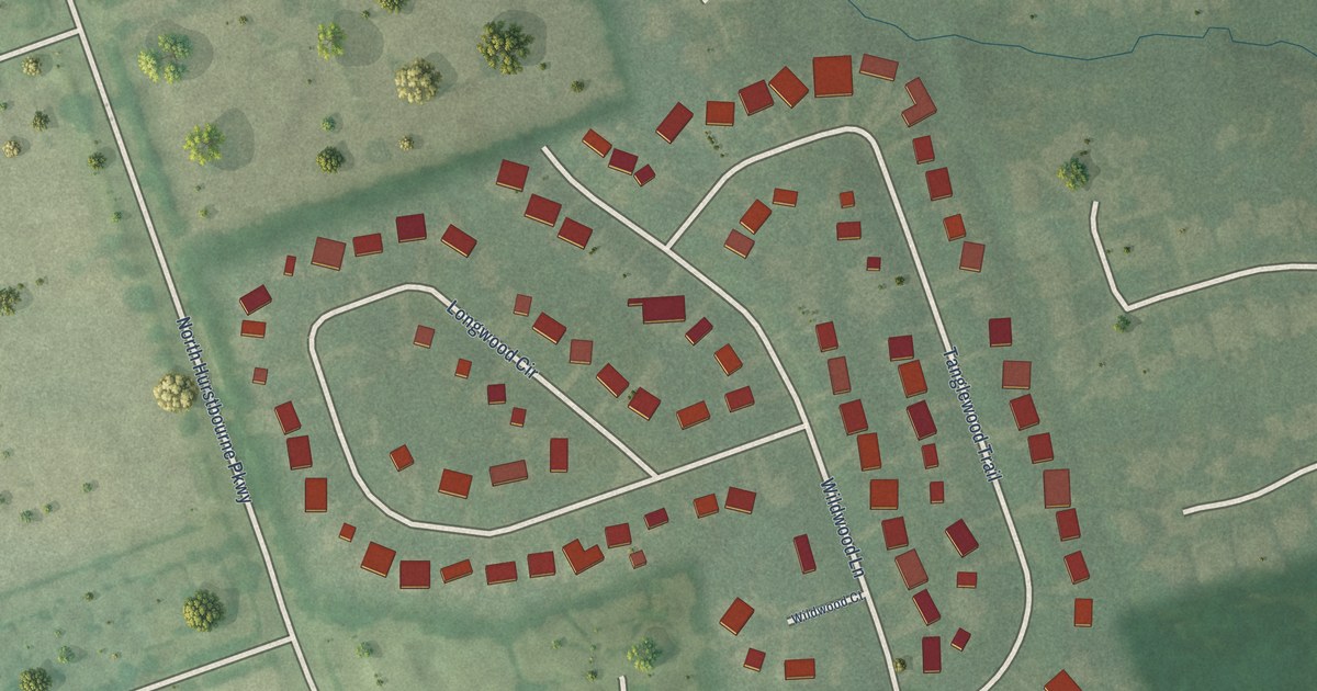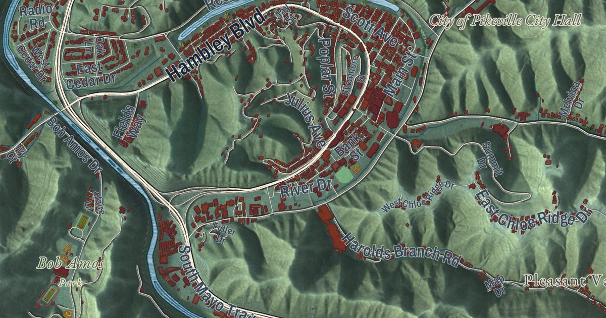
This beautifully detailed map of Pikeville, Kentucky was created in 2026 using aerial imagery combined with modern topographical, census, street and landmark data. It’s a one-of-a-kind view of Pikeville that combines accurate data with a vintage aesthetic. The map shows every building in its true location, many of the roads carry their names, and the shaded topographic relief shows the shape of the land.
Explore an aerial view of Pikeville, Kentucky
On the map you’ll find City of Pikeville City Hall, Blair Town, Bob Amos Park, Kewanee, Mayo Village, Mossy Bottom, Pauley, Pleasant Valley, Titan Siding, and Yorktown, along with Main Street, North Mayo Trail, and more. If you look closely you can even find your house accurately drawn in its correct location. Zoom in on the preview to look for yours.
Did you know this piece of Pikeville, Kentucky history?
From the National Register of Historic Places: "Mrs. Hatcher was probably the first woman in Pikeville to own and operate her own business."
Take a closer look at the Pikeville map
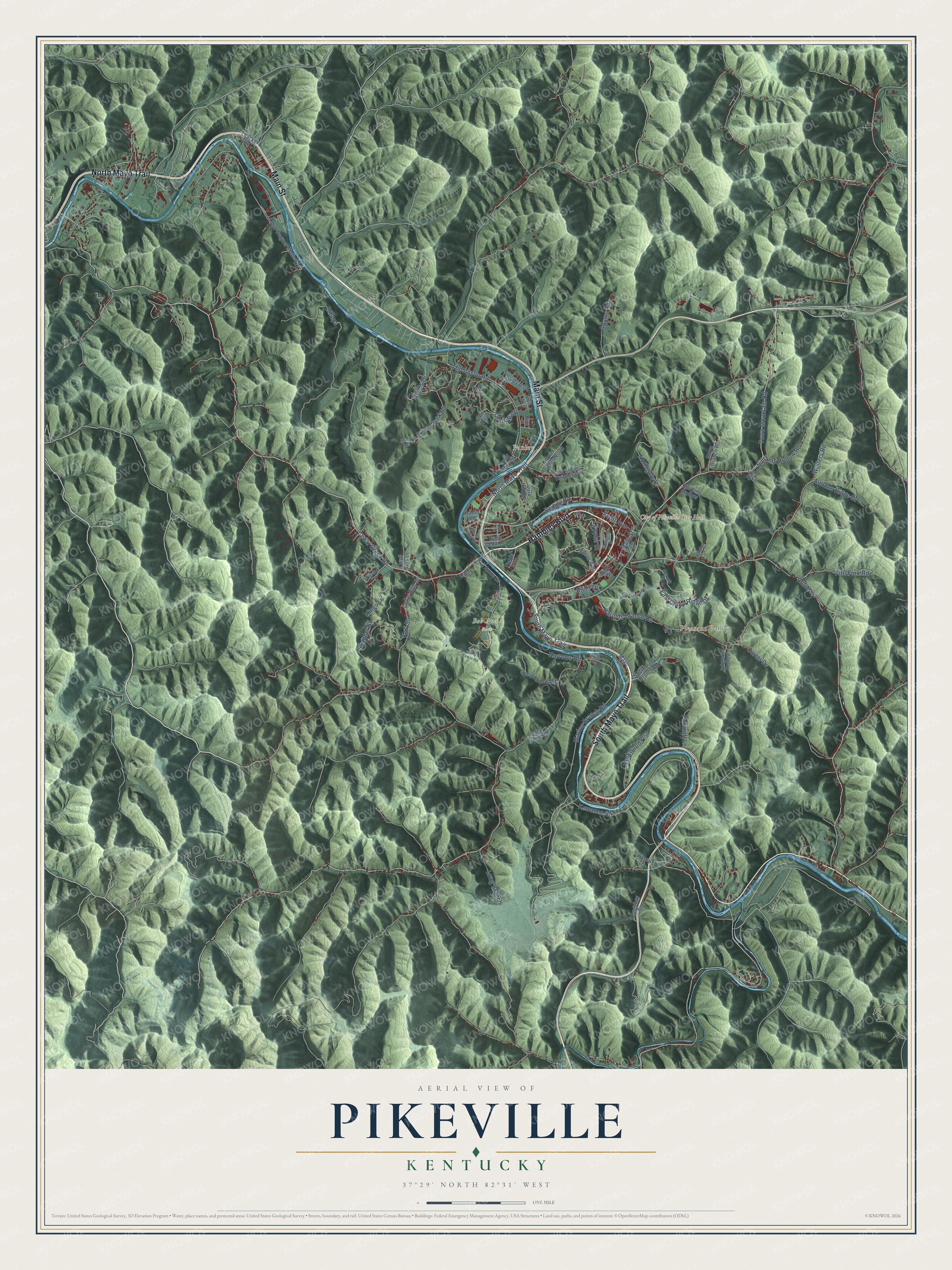
Street and place names on the Pikeville, Kentucky map
These names are printed on the map of Pikeville, Kentucky.
Places: City of Pikeville City Hall, Bob Amos Park, Pleasant Valley and Pauley.
Streets and roads: Main Street, North Mayo Trail, South Mayo Trail, Hambley Boulevard, Julius Avenue, East Chloe Ridge Drive, Town Mountain Road, Marion Branch Road, Chloe Road, Harolds Branch Road, Cedar Creek Road, Thompson Road.
More street names, A to Z
Adams Road, Autumn Ridge Drive, Bank Street, Billips Drive, Bill King Hollow, Billops, Bob Amos Drive, Carter Drive, Cassidy Boulevard, Cecil Hills Drive, Cedar Hills Drive, Claire Lane, Dark Hollow, Doe Run, East Cedar Drive, East Keyser Heights Drive, Elkins Road, Fidler Drive, Fields Way, Fife Fork Road, Foxcroft Lane, Island Creek Road, Ivy Court, Jay Street, Johnson Hollow, Kasey Lane, Kati Street, Keel Street, Kewanee Road, Keyser Heights North, Kings Lane, Lee Avenue, Little Lane, Long Branch, Longview Drive, Lykins Creek Road, Map Drive, Mayo Circle, Mays Branch Road, Melvina Drive, Narrows Road, Northgate Drive, Oak Lane, Old Wagner Station Road, Poplar Street, Pound Puppy Drive, Quail Walk, Rachel Fork, Radio Road, Redale Road, Rich Hollow Road, River Drive, Scott Avenue, South Lanks Branch Road, Starnes Drive, Summer Street, Summit Drive, Sycamore Street, Thacker Road, Vera Drive, Walters Road, West Cedar Drive, West Chloe Ridge Drive, West Tower Road, Williams Hollow Road, Winston Drive, Yorkwood Frst.
See the Pikeville, Kentucky map on a wall
The Pikeville map as an 18 x 24 inch print in a black frame.

This beautifully detailed map of Pikeville makes an attractive addition to your office, library, or den, and it can even be used to teach children the geography and history of the area. It also makes a great gift for someone who left Pikeville and still calls it home. When you’re done exploring, click here to get your copy of the Pikeville map.