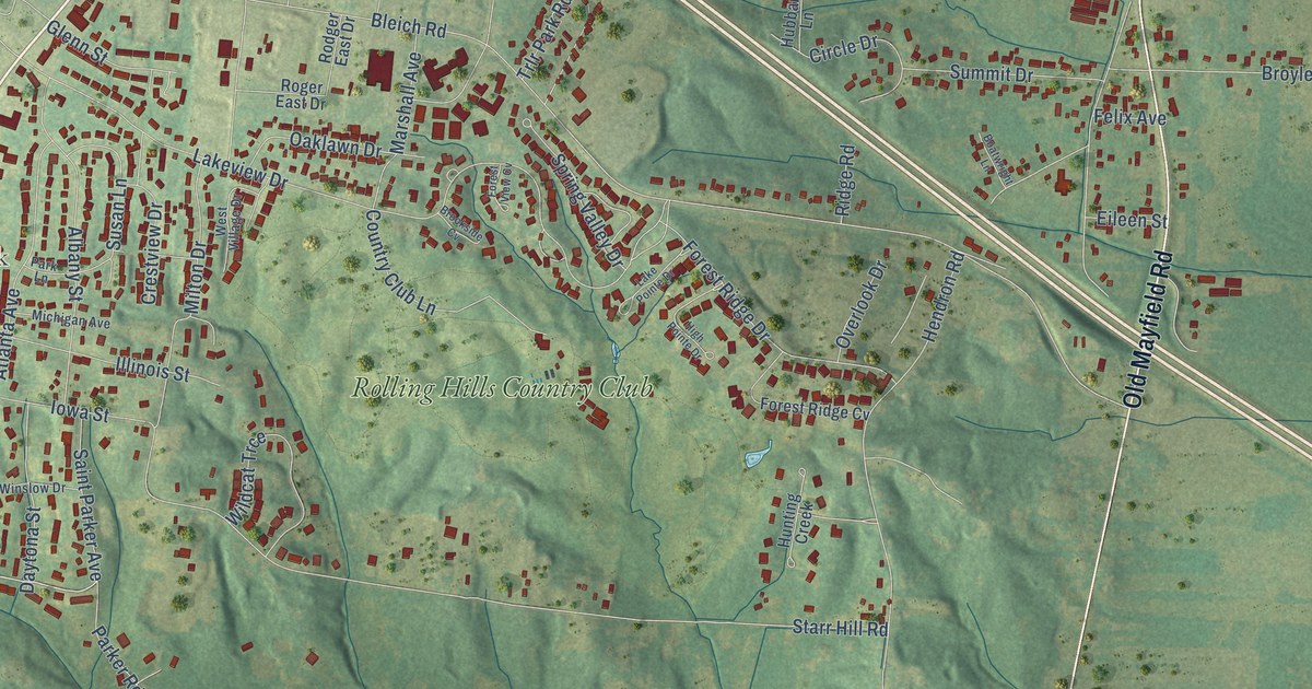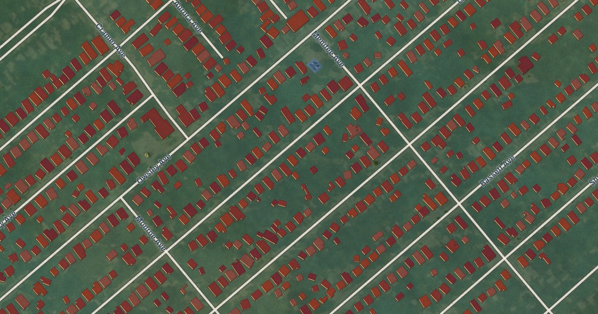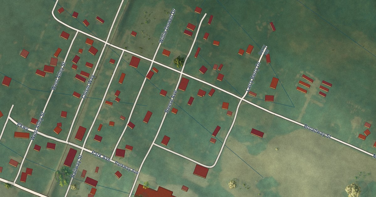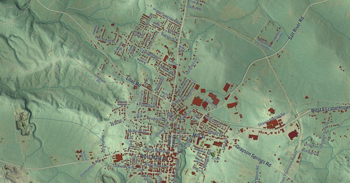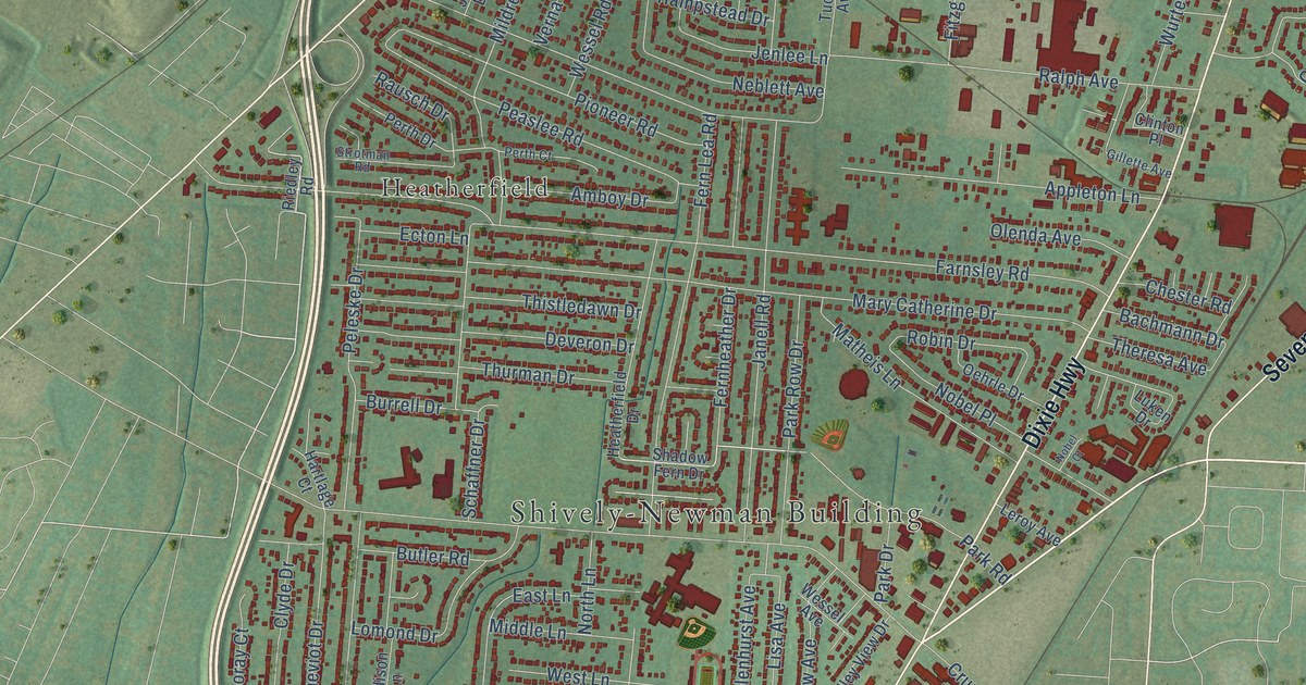
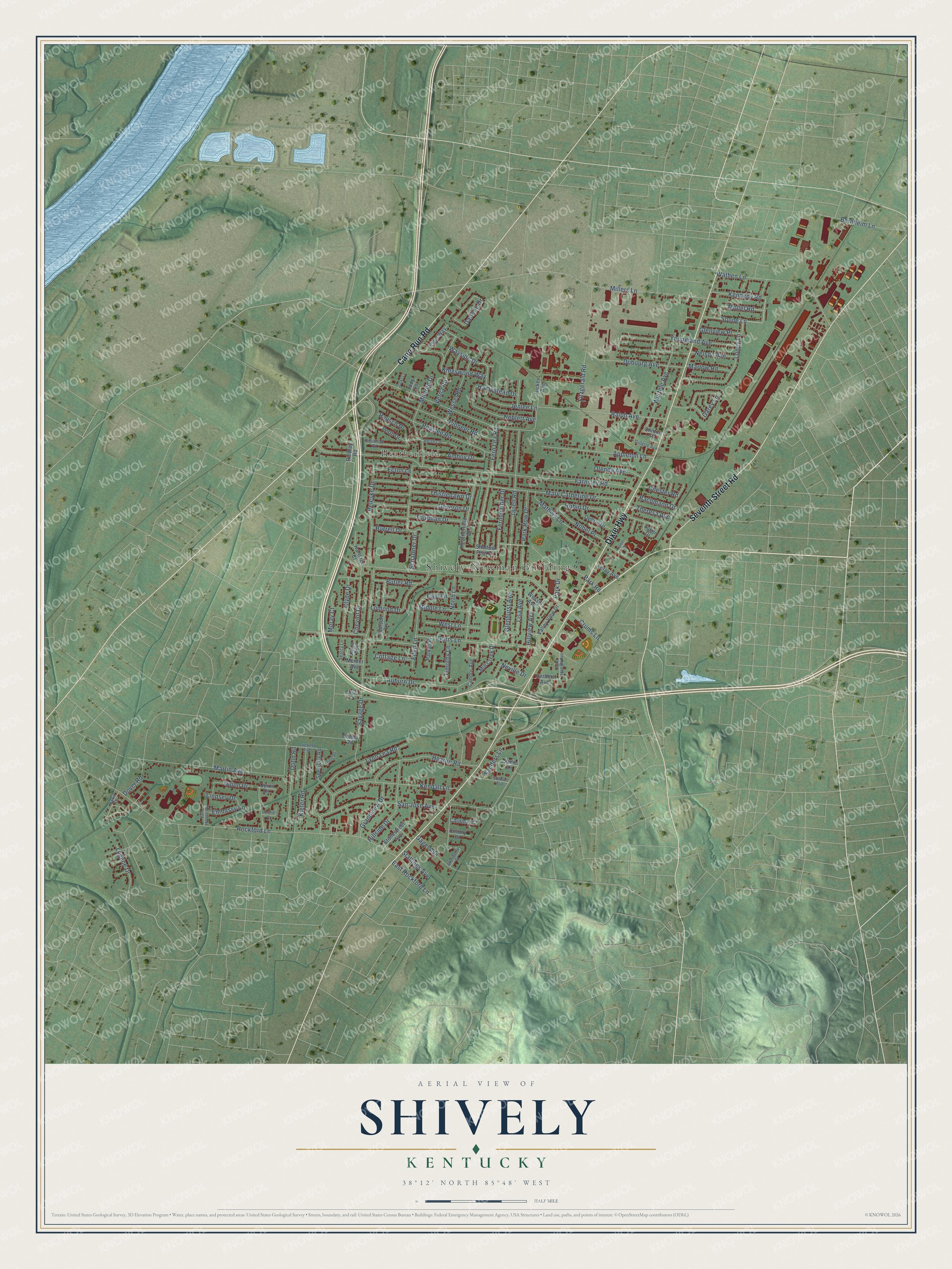
This beautifully detailed map of Shively, Kentucky was created in 2026 using aerial imagery combined with modern topographical, census, street and landmark data. It’s a one-of-a-kind view of Shively that combines accurate data with a vintage aesthetic. The map shows every building in its true location, many of the roads carry their names, and the shaded topographic relief shows the shape of the land.
Explore an aerial view of Shively, Kentucky
On the map you’ll find Shively-Newman Building and Heatherfield, along with Dixie Highway, Seventh Street Road, Cane Run Road, Loney Lane, Fernheather Drive, Wayside Drive, Park Drive, Model Road, Farnsley Road, Ralph Avenue, and more. If you look closely you can even find your house accurately drawn in its correct location. Zoom in on the preview to look for yours.
Did you know this piece of Shively, Kentucky history?
From the Kentucky Atlas and Gazetteer: "Among the early settlers was Christian Shively who operated a mill and tavern."
Take a closer look at the Shively map
Street and place names on the Shively, Kentucky map
These names are printed on the map of Shively, Kentucky.
Places: Shively-Newman Building and Heatherfield.
Streets and roads: Dixie Highway, Seventh Street Road, Cane Run Road, Loney Lane, Fernheather Drive, Wayside Drive, Park Drive, Model Road, Farnsley Road, Ralph Avenue, Rockford Lane, Garrs Lane.
More street names, A to Z
Addison Lane, Amboy Drive, Appleton Lane, Atterberry Court, Auburn Drive, Bachmann Drive, Bernheim Lane, Burrell Drive, Butler Road, Candor Avenue, Cardinal Court, Cavalier Drive, Chester Road, Cheviot Drive, Clinton Place, Clyde Drive, Colony Court, Cottage Lane, Crums Lane, Darlene Drive, Deveron Drive, Dohn Road, Donna Road, Dover Road, Dubourg Avenue, East Lane, East Rockford Lane, Ecton Lane, Eden Lane, Edgin Court, Elgin Way, Embassy Lane, Fern Lea Road, Fitzgerald Road, Gagel Avenue, Garey Lane, Gillette Avenue, Glenhurst Avenue, Glenview Place, Grandview Drive, Hampstead Drive, Hartlage Court, Heatherfield Drive, Heaton Road, Herbert Avenue, Hillside Drive, Hillview Avenue, Jacks Lane, Janell Road, Jenlee Lane, Judy Lane, Kendall Lane, Kennedy Road, Kevin Court, Kiefer Road, Kingswood Way, Laura Avenue, Leeds Road, Legene Drive, Leroy Avenue, Lindsey Drive, Lisa Avenue, Lomond Drive, Luckert Avenue, Luken Drive, Lynn Lea Road, Marlow Road, Martin Avenue, Mary Catherine Drive, Matheis Lane, Mercer Avenue, Middle Lane, Mildred Drive, Mill Creek Drive, Millers Lane, Moray Court, Neblett Avenue, Nelson Avenue, Neville Drive, Nobel Court, Nobel Place, North Lane, Oehrle Drive, Olenda Avenue, Parkay Place, Park Road, Park Row Drive, Peaslee Road, Peleske Drive, Perth Court, Perth Drive, Pioneer Road, Quinn Court, Quinn Drive, Rausch Drive, Riedley Road, Robin Drive, Sadie Lane, Saint Joseph Avenue, Sanders Lane, San Jose Avenue, Savage Drive, Schaffner Drive, Searcy Lane, Shadow Fern Drive, Sonne Lane, Spen Lea Road, Stallings Avenue, Stewart Avenue, Stonestreet Avenue, Strotman Road, Theresa Avenue, Thistledawn Drive, Thurman Drive, Timothy Lane, Tucker Avenue, Valley View Drive, Van Hoose Road, Verna Road, Wathen Lane, Wessel Avenue, Wessel Road, West Lane, Wurtele Avenue, Youngland Avenue.
See the Shively, Kentucky map on a wall
The Shively map as an 18 x 24 inch print in a black frame.

This beautifully detailed map of Shively makes an attractive addition to your office, library, or den, and it can even be used to teach children the geography and history of the area. It also makes a great gift for anyone with Shively roots. When you’re done exploring, click here to get your copy of the Shively map.