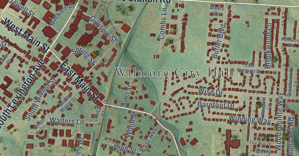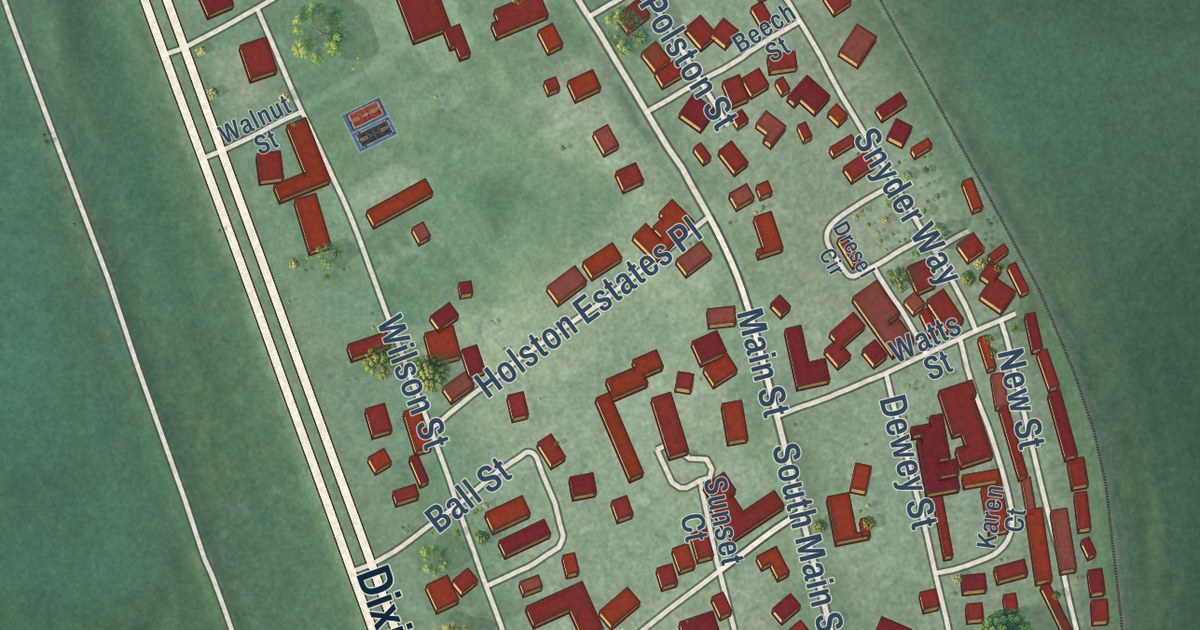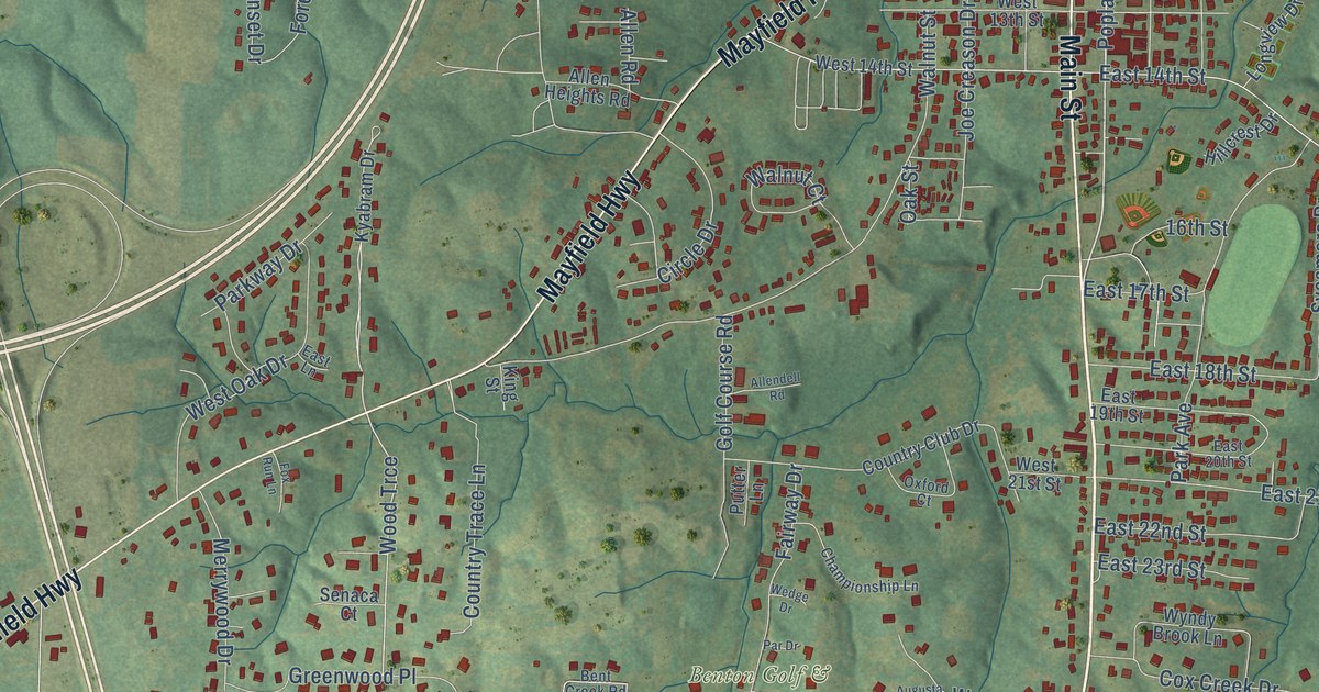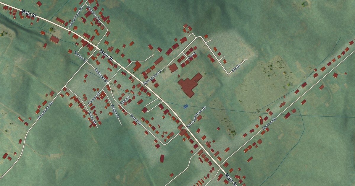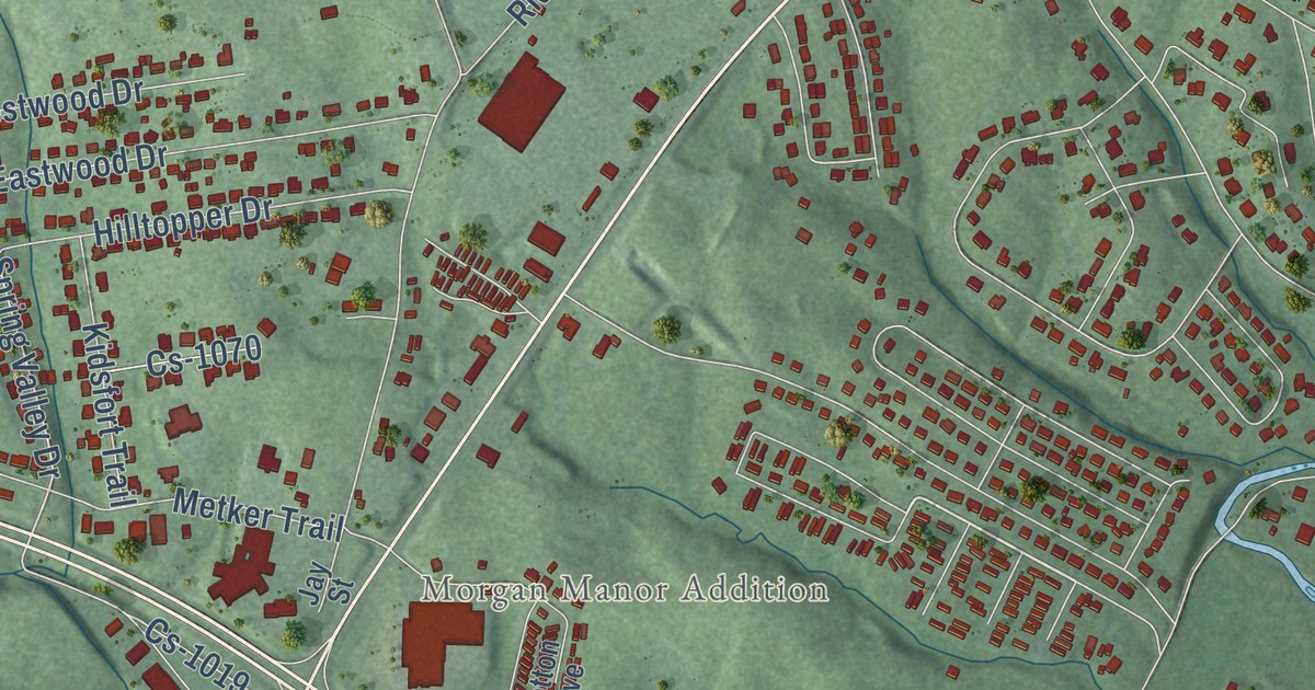
This beautifully detailed map of Stanford, Kentucky was created in 2026 using aerial imagery combined with modern topographical, census, street and landmark data. It’s a one-of-a-kind view of Stanford that combines accurate data with a vintage aesthetic. The map shows every building in its true location, many of the roads carry their names, and the shaded topographic relief shows the shape of the land.
Explore an aerial view of Stanford, Kentucky
On the map you’ll find Morgan Manor Addition, Harmon Heights, Cs-1098-10, and Cs-1019, along with Danville Avenue, East Main Street, West Main Street, Hustonville Street, Redwood Drive, Lancaster Street, Somerset Street, Foster Lane, and more. If you look closely you can even find your house accurately drawn in its correct location. Zoom in on the preview to look for yours.
Did you know this piece of Stanford, Kentucky history?
From the Kentucky Historical Society: "Stanford named and made county seat, 1786. Records in courthouse from 1781, oldest in the state."
Take a closer look at the Stanford map
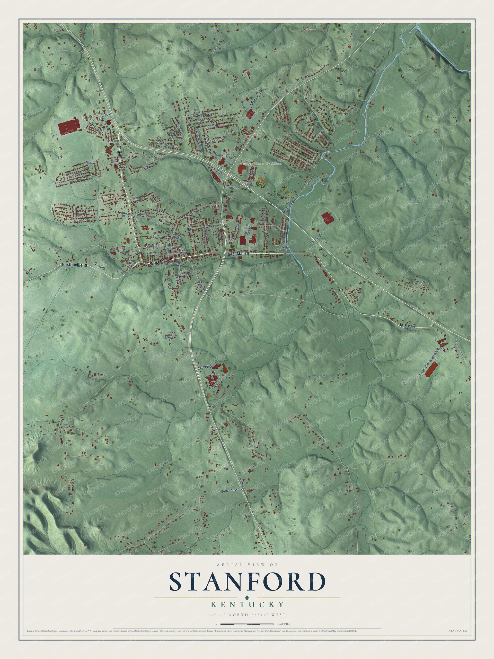
Street and place names on the Stanford, Kentucky map
These names are printed on the map of Stanford, Kentucky.
Places: Morgan Manor Addition and Harmon Heights.
Streets and roads: Danville Avenue, East Main Street, West Main Street, Hustonville Street, Cs-1098-10, Spring Valley Drive, Cs-1019, Redwood Drive, Lancaster Street, Somerset Street, Foster Lane, Edgewood Drive.
More street names, A to Z
Anderson Heights, Arrow Head Trail, Brock Drive, Campus Drive, Cane Run Road, Cannonade Drive, Cherokee Trail, Chickasaw Trail, Choctaw Drive, Church Street, Cordier Street, Cotton Avenue, Cr-1088, Crosshill Drive, Cs-1032, Cs-1068, Cs-1070, Cs-1073, Cs-1086, Cs-1094, Cs-1095, Cs-1100, Cut-Off Street, Darst Street, Dogwood Drive, Eagle Run Lane, East Depot Street, Eastwood Drive, Education Way, Elm Street, Factory Street, Goshen Road, Greens Court, Helm Street, Herndon Avenue, High Street, Hilltopper Drive, Industrial Park Road, Jay Street, John Logan Trail, John Street, Kidsfort Trail, Ky-1770, Lacy Street, Lee Drive, Lily Drive, Lincoln Business Park No 1, Logan Avenue, Martin Court, Martin Luther King Street, Maxwell Street, McKinney Court, Metker Trail, Miller Street, Moon Street, North Depot Street, Oak View Road, Oakwood Drive, Odis Court, Old Fort Road, Old Highway 150 East, Pettus Court, Phillips Court, Portman Avenue, Powell Street, Ready Mix Street, Rice Lane, Ridgeway Road, River Drive, Rolling Meadows Drive, Rosemont Drive, South Third Street, Star Avenue, Transportation Road, Turkeyfoot Lane, Upland Drive, Westwood Drive, Whitley Avenue, Work House Road, Yates Road.
See the Stanford, Kentucky map on a wall
The Stanford map as an 18 x 24 inch print in a black frame.

This beautifully detailed map of Stanford makes an attractive addition to your office, library, or den, and it can even be used to teach children the geography and history of the area. It also makes a great gift for anyone who grew up in Stanford or moved away. When you’re done exploring, click here to get your copy of the Stanford map.