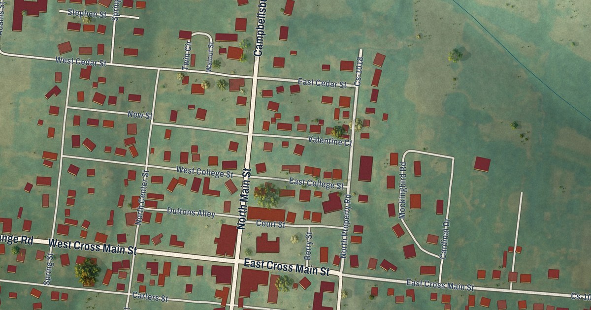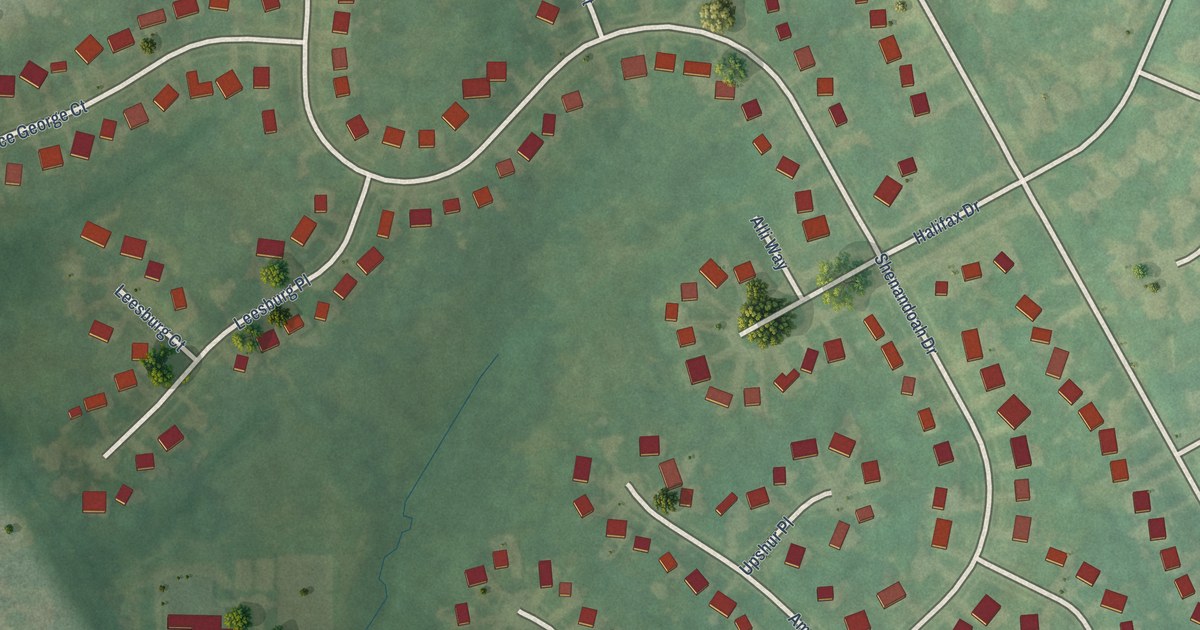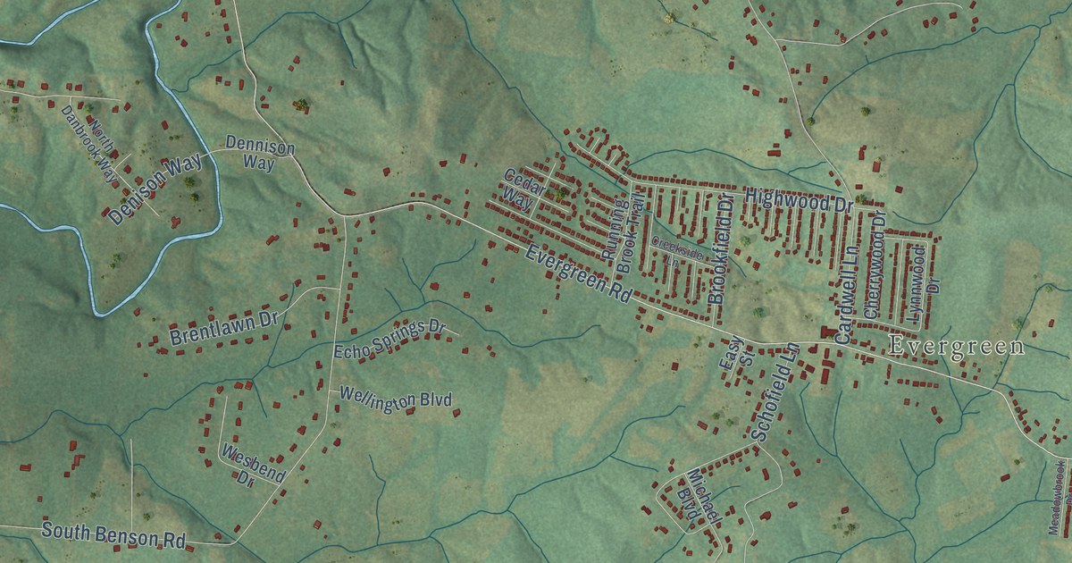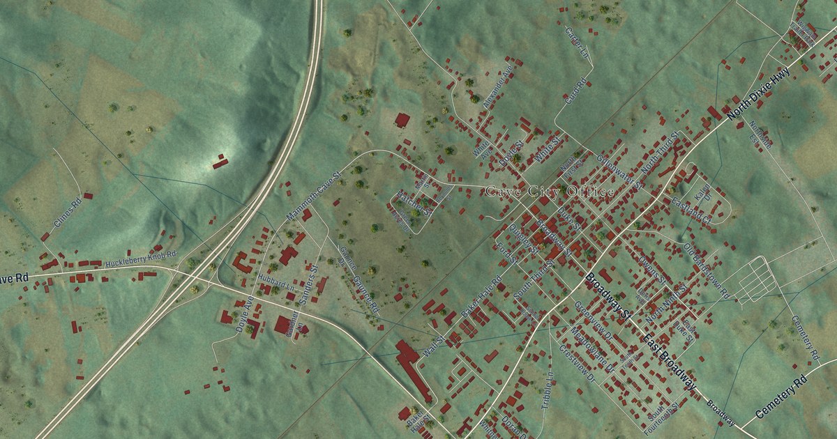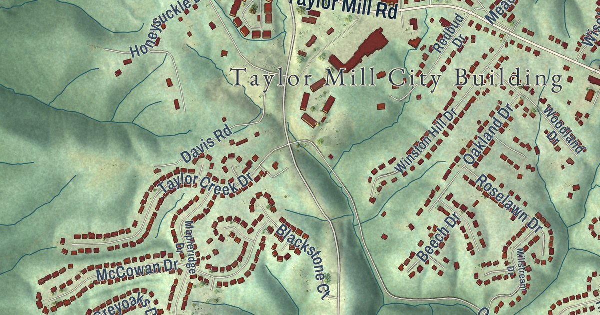
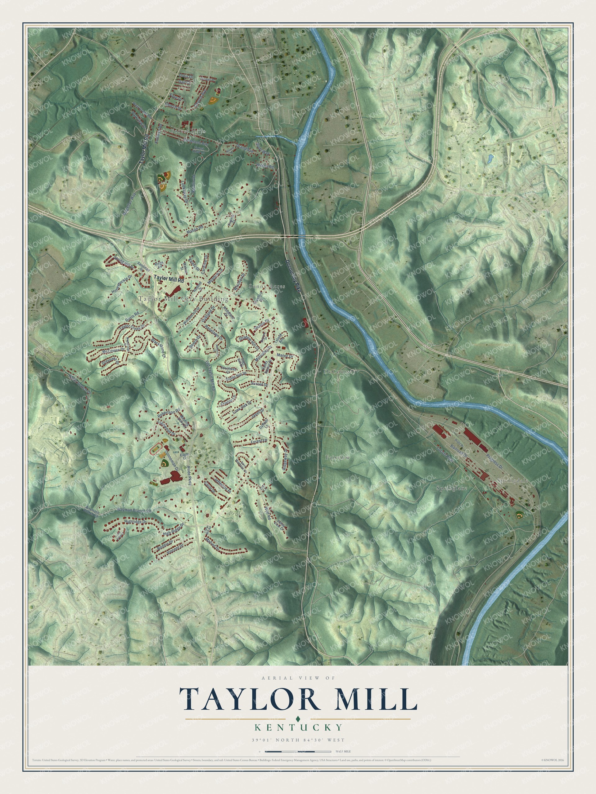
This beautifully detailed map of Taylor Mill, Kentucky was created in 2026 using aerial imagery combined with modern topographical, census, street and landmark data. It’s a one-of-a-kind view of Taylor Mill that combines accurate data with a vintage aesthetic. The map shows every building in its true location, many of the roads carry their names, and the shaded topographic relief shows the shape of the land.
Explore an aerial view of Taylor Mill, Kentucky
On the map you’ll find Taylor Mill City Building, Springdale, Pride Park, DeCoursey, Fairview, Forest Hills, Springlake, and Sunny Acres, along with Taylor Mill Road, Decoursey Pike, Pride Parkway, Wayman Branch Road, and more. If you look closely you can even find your house accurately drawn in its correct location. Zoom in on the preview to look for yours.
Did you know this piece of Taylor Mill, Kentucky history?
From the Kentucky Atlas and Gazetteer: "Taylor Mill is a Kenton county city on the east side of Covington. It was named for James Taylor, early land owner."
Take a closer look at the Taylor Mill map
Street and place names on the Taylor Mill, Kentucky map
These names are printed on the map of Taylor Mill, Kentucky.
Places: Taylor Mill City Building, Springdale, Pride Park, DeCoursey, Fairview, Forest Hills, Springlake and Sunny Acres.
Streets and roads: Taylor Mill Road, Decoursey Pike, Pride Parkway, Wayman Branch Road, Mason Road, Magellan Way, High Ridge Drive, Millvalley Drive, Honeysuckle Drive, Stone Hill Drive, Locust Pike, Railroad Drive.
More street names, A to Z
Bayview Drive, Beech Drive, Blackstone Court, Bonnie Drive, Buds Way, Cardinal Drive, Carol Drive, Church Avenue, Church Street, Cleveland Avenue, Coachway Court, Crawford Drive, Creek Ridge Court, Crocus Lane, Daffodil Lane, Davis Road, Doris Drive, Eagle Drive, Faye Drive, Forest Lane, Forest View Lane, Gail Court, Grand Avenue, Greyoaks Drive, Highridge Drive, Holds Branch Drive, Janet Drive, Jefferson Place, Keavy Drive, Kollman Road, Lakewood Drive, Leland Avenue, Lone Oak Drive, Lonneman Drive, Lookaway Drive, Lori Lane, Mafred Drive, Manor Drive, Mapleridge Drive, McCowan Drive, Meadow Lane, Millstream Drive, Morning Glory Drive, Oakland Drive, Old Taylor Mill Road, Parkview Drive, Profit Drive, Progress Drive, Redbud Drive, Reidlin Road, Ridge Road, Ridgeway Drive, Robertson Road, Roselawn Drive, Sage Hill Drive, Saint Matthews Circle, Sandman Drive, Shadow Hill Court, Sharon Drive, Spring Hill Drive, Sunset Drive, Sunset Place, Taylor Creek Drive, Valley Square Drive, Valley View Drive, Vincent Drive, Virginia Court, Walnut Street, Waymans Branch Road, West Grand Avenue, Wilson Road, Winona Drive, Winston Hill Drive, Wischer Drive, Wolf Road, Woodland Drive.
See the Taylor Mill, Kentucky map on a wall
The Taylor Mill map as an 18 x 24 inch print in a black frame.

This beautifully detailed map of Taylor Mill makes an attractive addition to your office, library, or den, and it can even be used to teach children the geography and history of the area. It also makes a great gift for someone who left Taylor Mill and still calls it home. When you’re done exploring, click here to get your copy of the Taylor Mill map.