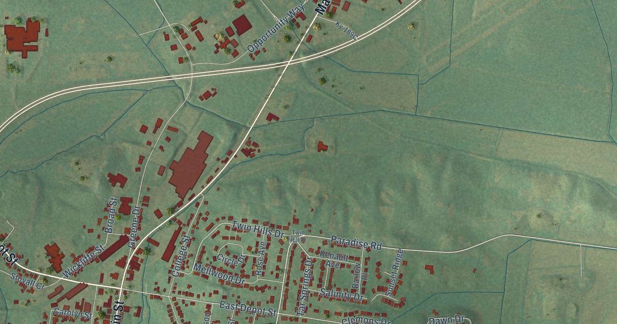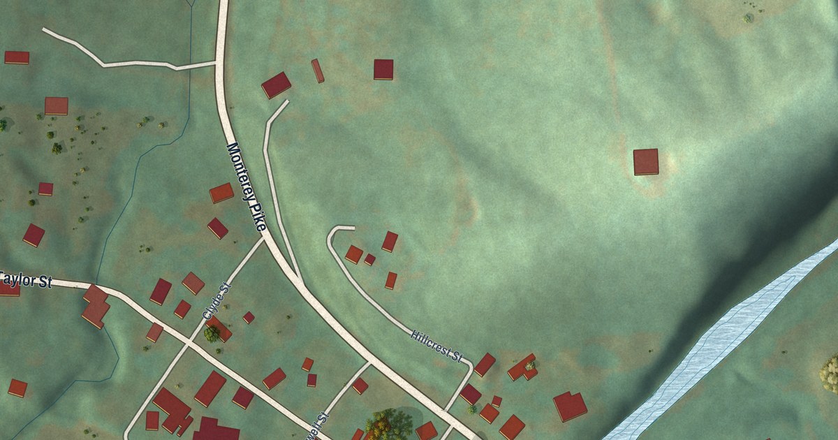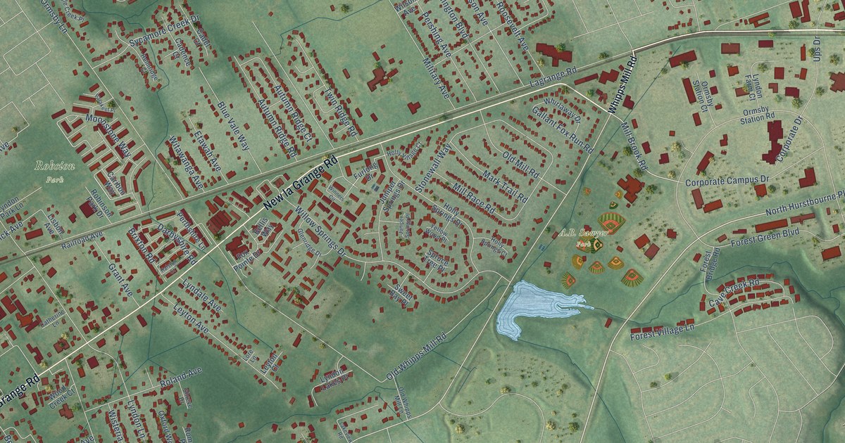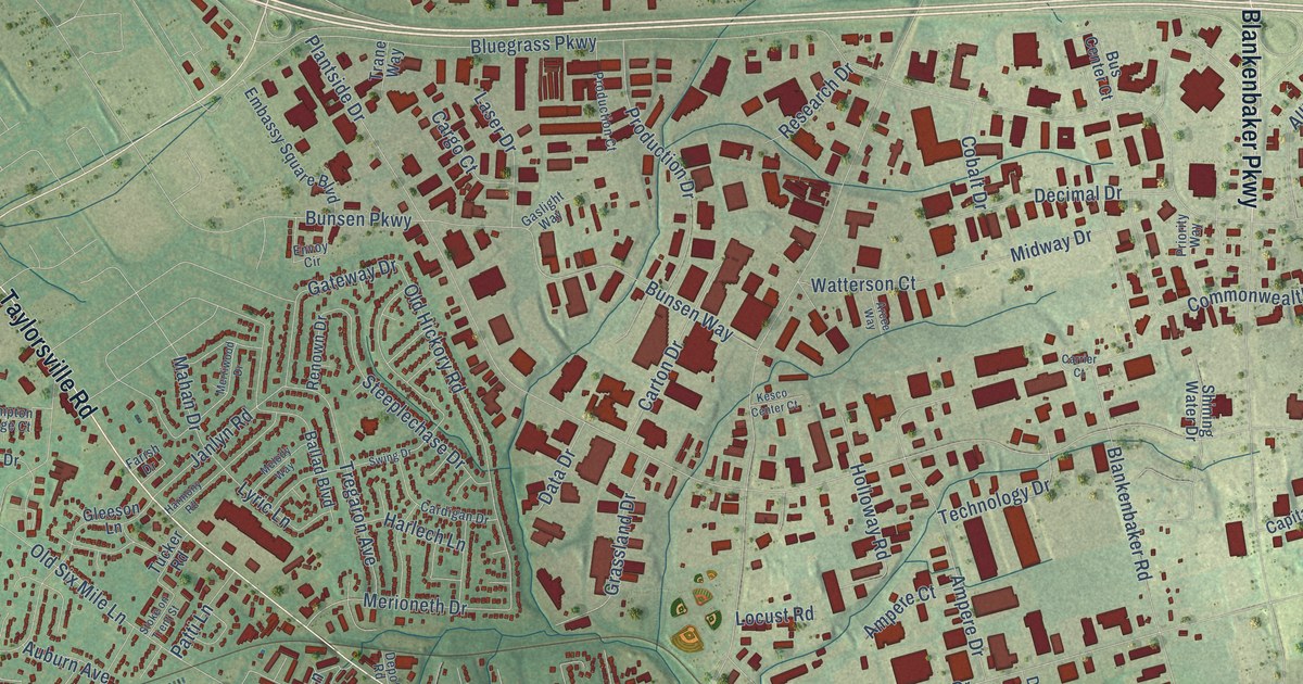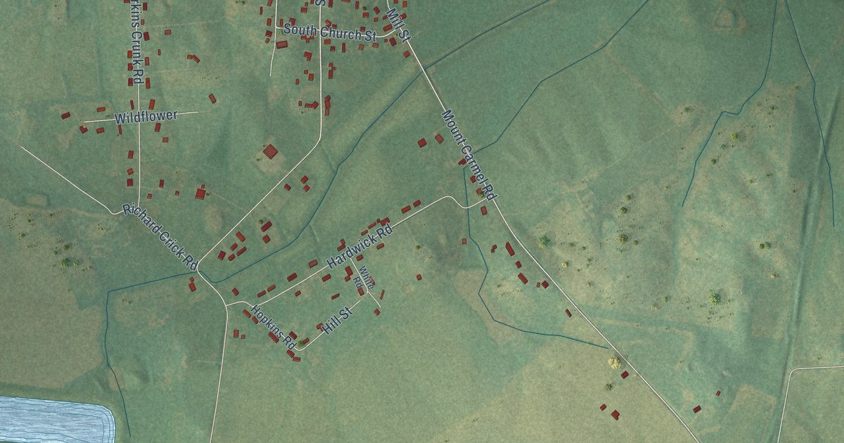
This beautifully detailed map of White Plains, Kentucky was created in 2026 using aerial imagery combined with modern topographical, census, street and landmark data. It's a modern aerial view of White Plains in Hopkins County, Kentucky, that combines modern data with a vintage aesthetic. The roads feature printed names, and if you look closely you can find your exact house accurately shown in its correct location.
Explore an aerial view of White Plains, Kentucky
On this map you'll find White Plains City Hall, Mount Carmel, Northwest Railroad Street, Greenville Road, Franklin Street, Mount Carmel-Pond River Road, Old Farmers Road, South Bob Bruce Drive, Mount Carmel Road, South Church Street, Claude Young Road, Red Hill Road, and more. Each red shape is a building, so zoom in on the preview and look for yours.
White Plains has a story worth telling. The Kentucky Atlas and Gazetteer puts it this way: "A Little Prairie post office opened nearby in 1853 and was moved to the station and renamed White Plains in 1874."
White Plains is a city in Hopkins County. The Census Bureau counted 829 people here in 2020.
Take a closer look at the White Plains map
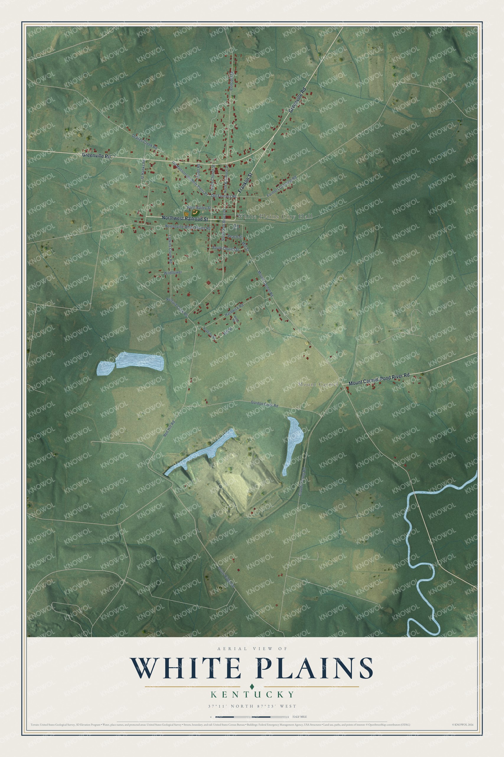
Created by KNOWOL in 2026. The buildings are small red shapes, the roads carry their printed names, and shaded relief shows the shape of the land. The title panel reads "AERIAL VIEW OF WHITE PLAINS KENTUCKY" with 37°11' NORTH 87°23' WEST.
It looks right in a kitchen, an office or a den, and it's a gift for anyone who grew up in White Plains or moved away. Open the preview and find your street. See sizes and frames for the White Plains map.