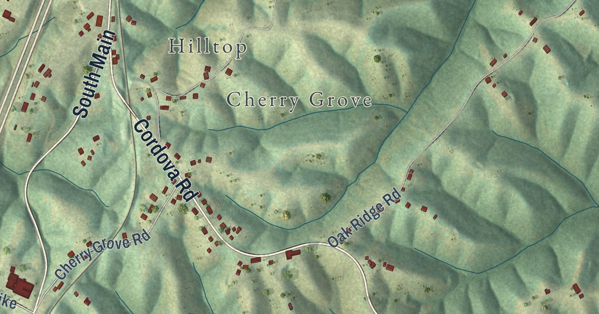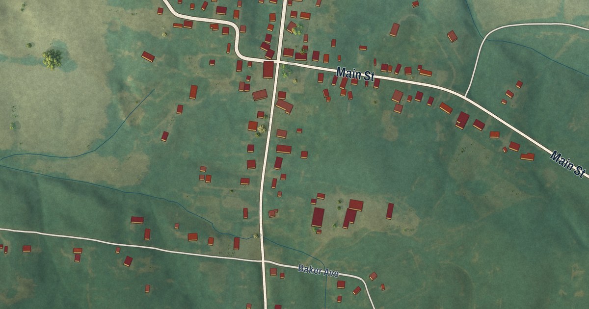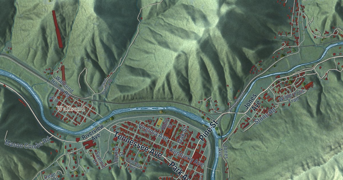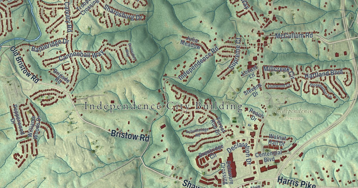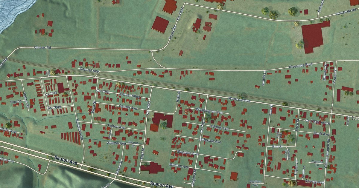
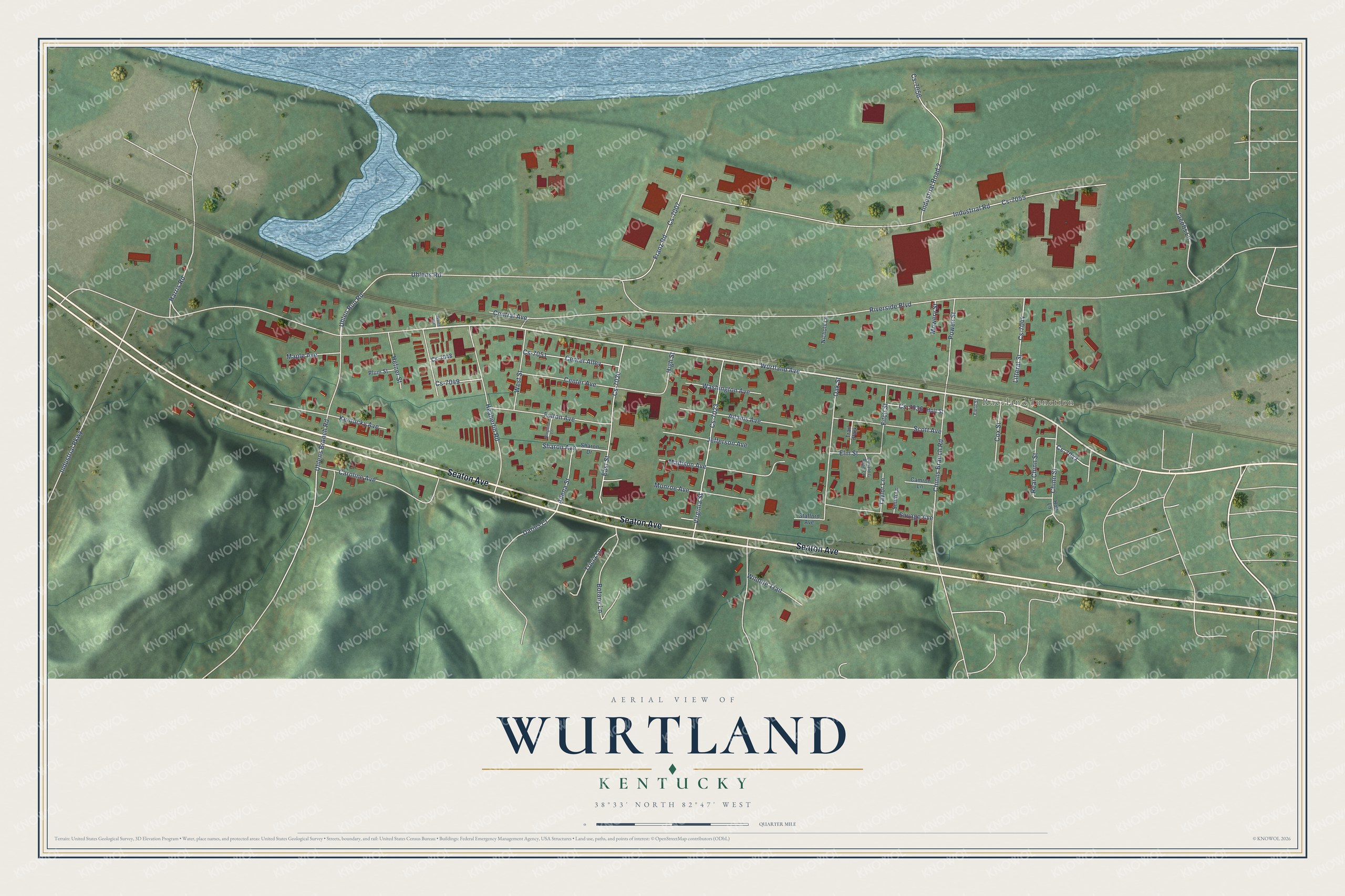
This beautifully detailed map of Wurtland, Kentucky was created in 2026 using aerial imagery combined with modern topographical, census, street and landmark data. It’s a one-of-a-kind view of Wurtland that combines accurate data with a vintage aesthetic. The map shows every building in its true location, many of the roads carry their names, and the shaded topographic relief shows the shape of the land.
Explore an aerial view of Wurtland, Kentucky
On the map you’ll find Raceland Junction and Cs-7055, along with Seaton Avenue, Wurtland Avenue, Uhlen Run Road, Riverside Boulevard, Industrial Road, Uhlens Road, Heaberlin Road, Uhlens Branch Road, Industrial Parkway, Virginia Street, and more. If you look closely you can even find your house accurately drawn in its correct location. Zoom in on the preview to look for yours.
Did you know this piece of Wurtland, Kentucky history?
Before it was Wurtland, the river town had a post office called Oil Works, after a local kerosene factory. That office opened in 1864 and closed in 1871. When it reopened in 1876, it took the name Wurtland. The name honored George and Samuel Grandin Wurts, who had started two furnaces close by in 1848.
Take a closer look at the Wurtland map
Street and place names on the Wurtland, Kentucky map
These names are printed on the map of Wurtland, Kentucky.
Places: Raceland Junction and Trail Park.
Streets and roads: Seaton Avenue, Wurtland Avenue, Uhlen Run Road, Riverside Boulevard, Cs-7055, Industrial Road, Uhlens Road, Heaberlin Road, Uhlens Branch Road, Industrial Parkway, Virginia Street, Cs-7023.
More street names, A to Z
Adams Avenue, Adena Street, Botany Lane, Camron Lane, Caroline Avenue, Center Alley, Center Avenue, Central Avenue, Chinns Branch Road, Chinn Street, Cox Street, Cs-7007, Cs-7020, Cs-7036, Cs-7042, Cs-7044, Cs-7048, Cs-7049, Cs-7051, Cs-7056, Darius Court, Donald & Rose Lane, East Street, Elm Street, Field Street, Fitch Street, Franz Road, Fulton Avenue, Harris Road, Hefner Street, High Street, Holt Lane, Holt Street, Industrial Road 2, Jacobs Lane, Jefferson Avenue, Kentucky Avenue, Litteral Street, Madison Avenue, Maple Avenue, Monroe Avenue, Mowery Street, Nichols Lane, Oak Street, Plum Street, Powell Street, Rear Chinn Street, Savage Avenue, Scott Avenue, Sharon Avenue, Sharon Drive, Smith Lane, Songbird Lane, Stafford Avenue, Taylor Lane, Tricia Lane, Washington Avenue, West Street, Wildlife Trail, Wurts Road.
See the Wurtland, Kentucky map on a wall
The Wurtland map as an 18 x 24 inch print in a black frame.

This beautifully detailed map of Wurtland makes an attractive addition to your office, library, or den, and it can even be used to teach children the geography and history of the area. It also makes a great gift for someone who left Wurtland and still calls it home. When you’re done exploring, click here to get your copy of the Wurtland map.