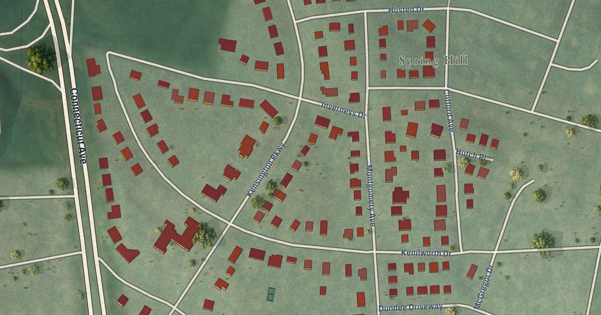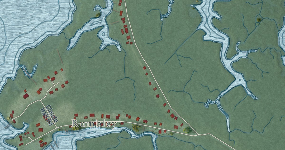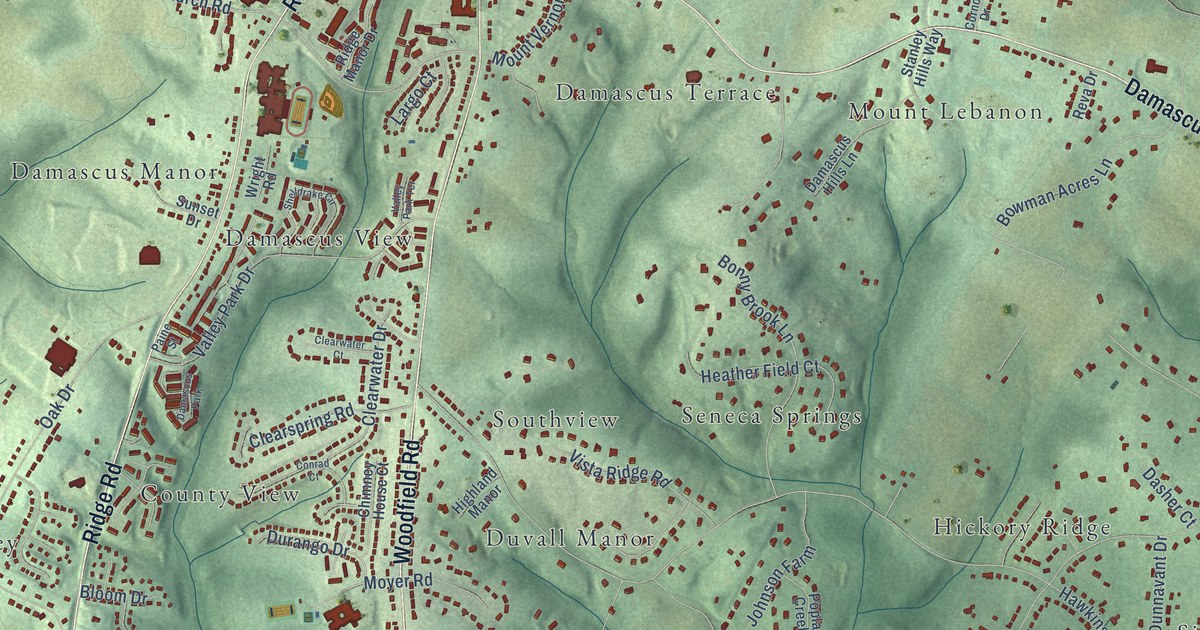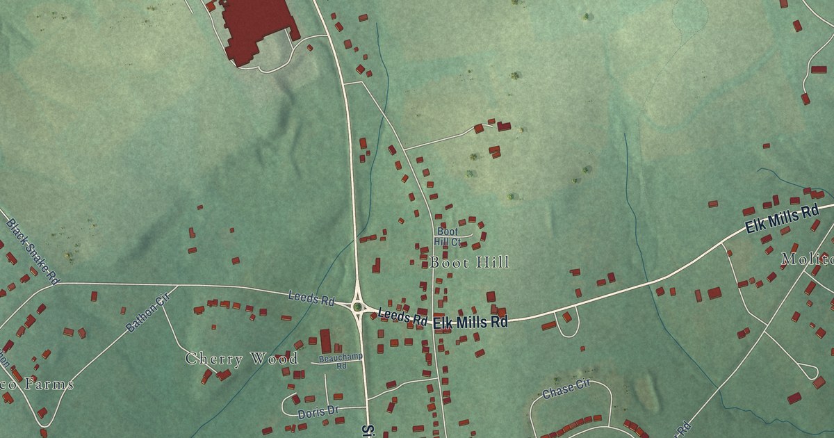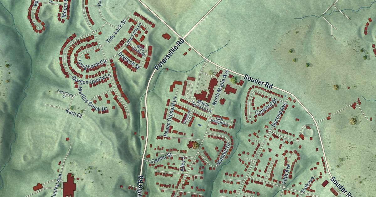
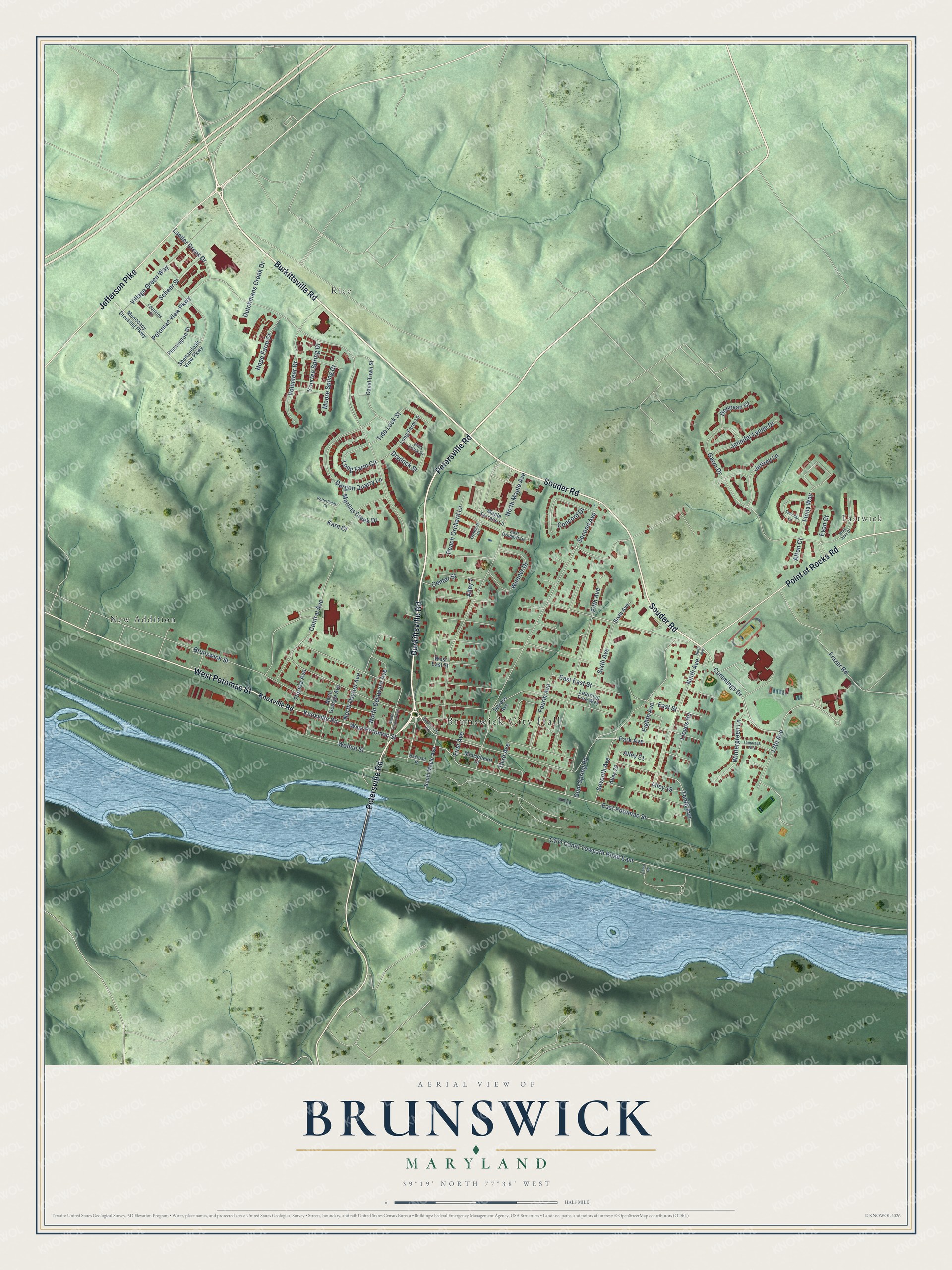
This beautifully detailed map of Brunswick, Maryland was created in 2026 using aerial imagery combined with modern topographical, census, street and landmark data. It’s a one-of-a-kind view of Brunswick that combines accurate data with a vintage aesthetic. The map shows every building in its true location, many of the roads carry their names, and the shaded topographic relief shows the shape of the land.
Explore an aerial view of Brunswick, Maryland
On the map you’ll find Brunswick City Hall, Eastwick, New Addition, and Rice, along with Burkittsville Road, Petersville Road, Souder Road, West Potomac Street, Jefferson Pike, Point of Rocks Road, Cummings Drive, North Maple Avenue, and more. If you look closely you can even find your house accurately drawn in its correct location. Zoom in on the preview to look for yours.
Did you know this piece of Brunswick, Maryland history?
From Services.arcgis.com: "Renamed Brunswick in 1890, the town supported significant rail infrastructure an expansive network of tracks, a round house with a turntable, and a railroad station designed by Francis Baldwin."
Take a closer look at the Brunswick map
Street and place names on the Brunswick, Maryland map
These names are printed on the map of Brunswick, Maryland.
Places: Brunswick City Hall, Eastwick, New Addition and Rice.
Streets and roads: Burkittsville Road, Petersville Road, Souder Road, West Potomac Street, Jefferson Pike, Point of Rocks Road, Cummings Drive, North Maple Avenue, Knoxville Road, East Potomac Street, Tenth Avenue, Concord Drive.
More street names, A to Z
13th Avenue, Afton Court, Alley 7, Alley 19, Alley 21, Alley 29, Brad Alan Drive, Brunswick Street, C&O Canal Towpath Road East, Canal Road, Canal Town Street, Center Street, Central Avenue, Dargon Quarry Lane, Donovan Court, Drydock Street, Dutchmans Creek Drive, East East Street, East Orndorff Drive, East Street, Eighth Avenue, Evan Court, Fifth Avenue, Fiona Way, First Avenue, Florida Avenue, Fourth Avenue, Frazer Road, Galyn Drive, Gum Spring Road, Hope Farm Court, Jeffrey Lane, Jennifer Lynne Drive, Karn Court, Lander Creek Drive, Learning Tree Way, Lloyds Road, Long Farm Circle, Long Farm Lane, Maple Terrace Lane, Martins Creek Drive, Monocacy Crossing Parkway, Moore Spring Court, Mooseheart Drive, Ninth Avenue, North Dayton Avenue, North Delaware Avenue, North Georgia Avenue, Orndorff Court, Park Avenue, Peach Orchard Lane, Pennington Drive, Potomac View Parkway, Potterfields Court, Railroad Square, Scheer Street, Second Avenue, Seventh Avenue, Shenandoah View Parkway, Sheridan Lane, Sixth Avenue, South Maple Avenue, South Virginia Avenue, Tamarack Way, Terrace Avenue, Third Avenue, Tide Lock Street, Village Green Way, Volunteer Drive, Walnut Street, Wenner Drive, West East Street, Wills Creek Drive, Wintergreen Lane, Younkins Drive, Yourtee Spring Drive.
See the Brunswick, Maryland map on a wall
The Brunswick map as an 18 x 24 inch print in a black frame.

This beautifully detailed map of Brunswick makes an attractive addition to your office, library, or den, and it can even be used to teach children the geography and history of the area. It also makes a great gift for someone who left Brunswick and still calls it home. When you’re done exploring, click here to get your copy of the Brunswick map.