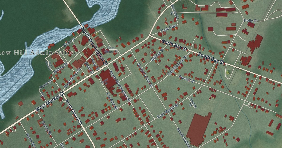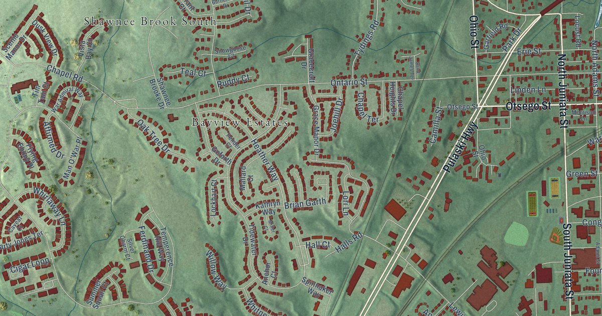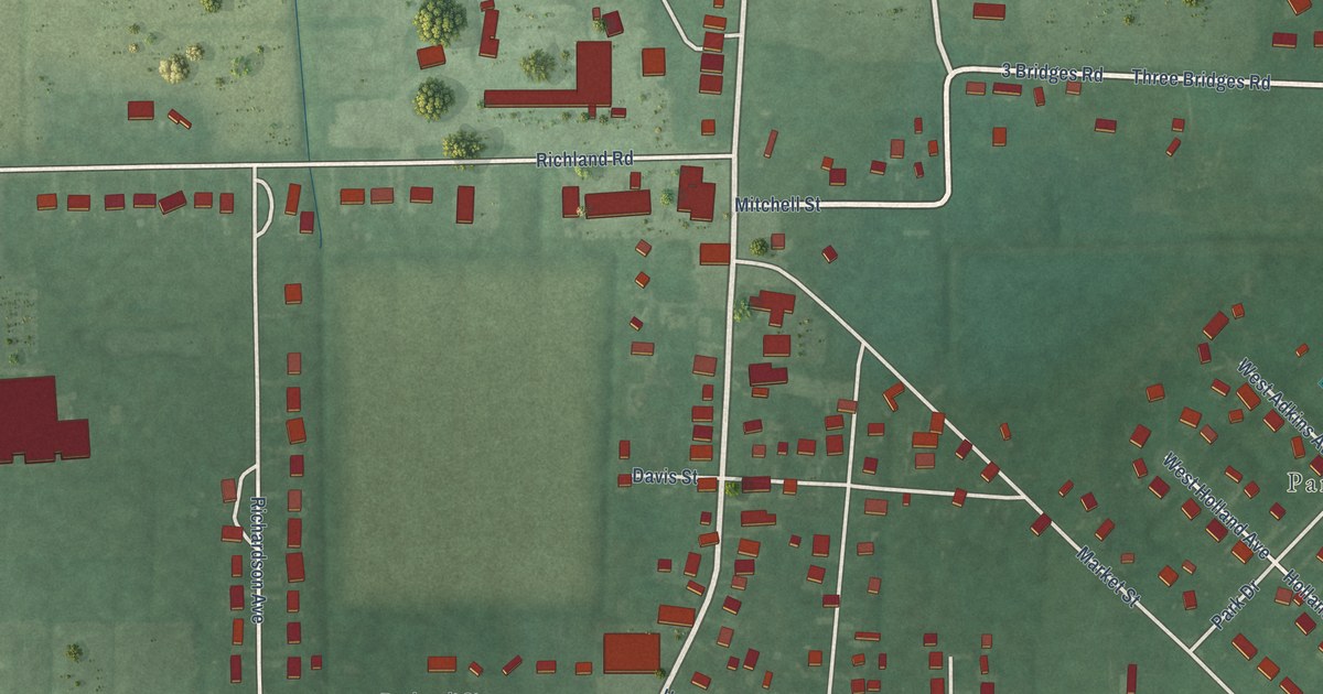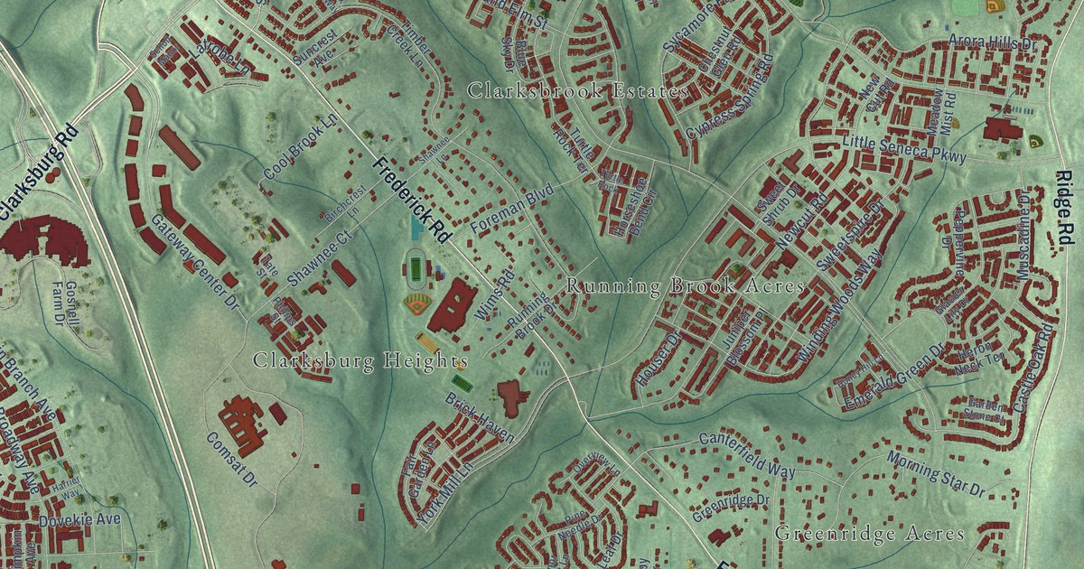
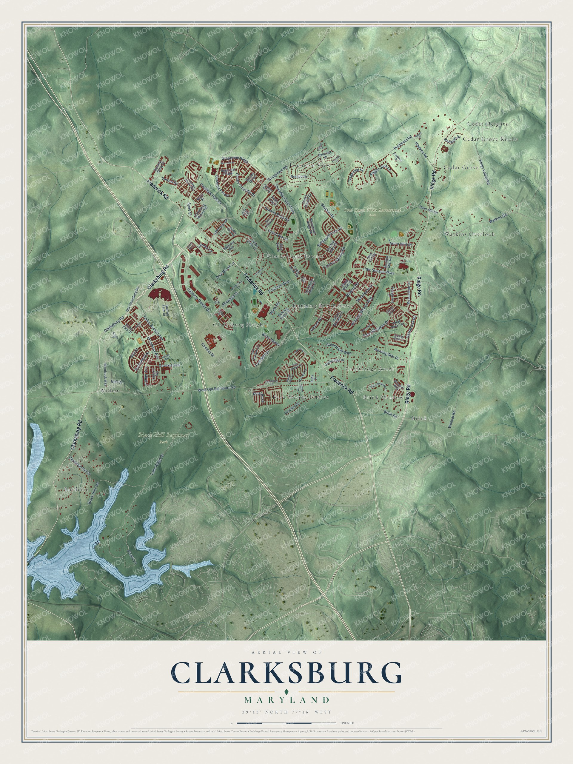
This beautifully detailed map of Clarksburg, Maryland was created in 2026 using aerial imagery combined with modern topographical, census, street and landmark data. It's a modern aerial view of Clarksburg in Montgomery County, Maryland, that combines modern data with a vintage aesthetic. The roads feature printed names, and if you look closely you can find your exact house accurately shown in its correct location.
Explore an aerial view of Clarksburg, Maryland
On this map you'll find Black Hill Regional Park, Ovid Hazen Wells Recreational Park, Beau Monde Estates, Brink, Brink Meadow, Burdette, Cedar Grove, Cedar Grove Knolls, Cedar Heights, Clarksbrook Estates, Clarksburg Heights, Fountain View, and more. Each red shape is a building, so zoom in on the preview and look for yours.
Every town has a first chapter, and Clarksburg is no exception. The Clarksburg Historical Society puts it this way: "Toward the end of the war in 1781, John G. Clark, our town founder, built his home in Clarksburg. At the site of his grandfather’s trading post, he established a general store."
Clarksburg is a community in Montgomery County.
Take a closer look at the Clarksburg map
Names on this map
These names are printed on this map.
Places: Black Hill Regional Park, Ovid Hazen Wells Recreational Park, Beau Monde Estates, Brink, Brink Meadow, Burdette, Cedar Grove, Cedar Grove Knolls, Cedar Heights, Clarksbrook Estates, Clarksburg Heights, Fountain View, Greenridge Acres, Running Brook Acres, Watkins Overlook and Wilber.
Streets and roads: Clarksburg Road, Ridge Road, Frederick Road, Stringtown Road, Overlook Park Drive, Gateway Center Drive, Snowden Farm Parkway, Little Seneca Parkway, Lake Ridge Drive, West Old Baltimore Road, Piedmont Road, Skylark Road.
More street names, A to Z
Arora Hills Drive, Bennett Chase Drive, Bent Arrow Drive, Birchcrest Lane, Black Hills Road, Blue Sky Drive, Boneset Way, Brick Haven, Brink Meadow Lane, Brink Road, Broadway Avenue, Bufflehead Street, Burdette Forest, Byrne Park Drive, Cabin Branch Avenue, Canterfield Way, Castle Oak Road, Catawba Manor Way, Cherry Branch Drive, Chestnut Glen Road, Chrisman Hill Drive, Clarksburg Square Road, Clarks Crossing Drive, Comsat Drive, Cool Brook Lane, Cypress Spring Road, Dancrest Drive, Davis Mill Road, Deoudes Road, Diller Lane, Dovekie Avenue, Dunlin Street, Dutrow Drive, Emerald Green Drive, Estuary Drive, Ethel Rose, Fair Garden Lane, Fernberry Lane, Foreman Boulevard, Fountain Drive, Fulmer Avenue, Garden Stone Court, Gate Rail, Glacier Lily Drive, Gosnell Farm Drive, Grand Elm Street, Granite Rock Road, Grapevine Ridge, Greenridge Drive, Gull Street, Harrier Way, Hawkes Court, Hawkes Road, Heron Neck Terrace, Hoffman Drive, Honey Hill Lane, Horseshoe Bend Circle, Houser Drive, Ivy Leaf Drive, Janbeall Court, Juniper Blossom Place, Kigger Jack Lane, Kings Valley Road, Latrobe Lane, Limpkin Avenue, Manor Crest Lane, Martz Street, Meadow Mist Road, Morning Star Drive, Murdock Ridge Way, Murphy Grove, Muscadine Drive, Needle Drive, Newcut Road, New Cut Road, Old Clarksburg Road, Overview Lane, Peppervine Drive, Persimmon Ridge Road, Philips Street, Picnic Lane, Piedmont Court, Pine Needle Drive, Rainbow Arch Drive, Robin Song Drive, Ruby Drive, Running Brook Drive, Saint Clair Road, Scholl Manor, Shawnee Court, Shawnee Lane, Short Hills Drive, Spire Street, Stilt Street, Sugarloaf Chapel, Suncrest Avenue, Sweet Shrub Drive, Sweetspire Drive, Sycamore Farm Drive, Tate Street, Timber Creek Lane, Tregoning Place, Turtle Rock, Turtle Rock Terrace, Watkins Road, Wildcat Road, Wims Road, Winding Woods Way, Woodcock Way, York Mill Lane.
Created by KNOWOL in 2026. The buildings are small red shapes, the roads carry their printed names, and shaded relief shows the shape of the land. The title panel reads "AERIAL VIEW OF CLARKSBURG MARYLAND" with 39°13' NORTH 77°16' WEST.
Hang it in the hallway, the office or the cabin, or give it to someone who left Clarksburg and still calls it home. Open the preview and look for a street you know. See sizes and frames for the Clarksburg map.