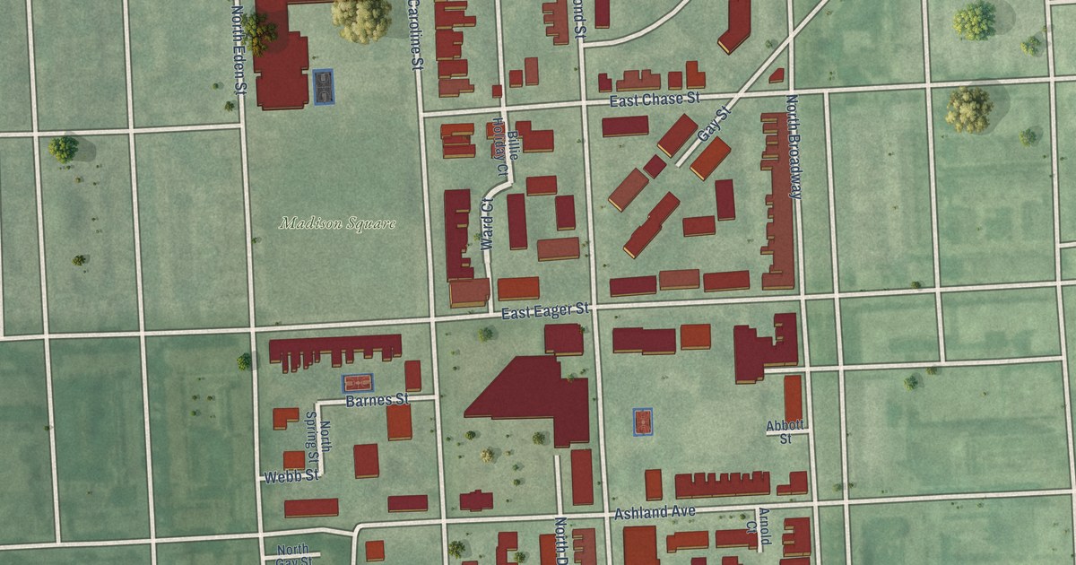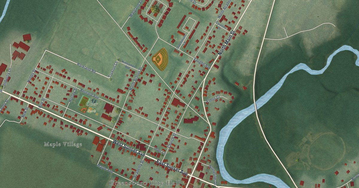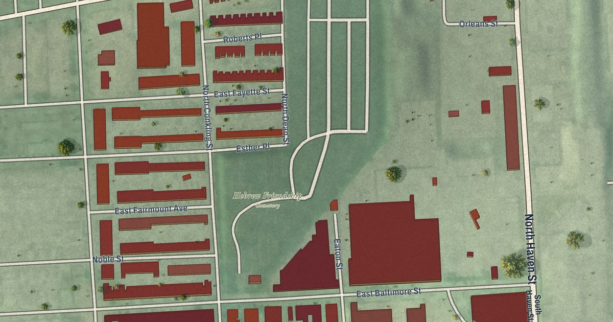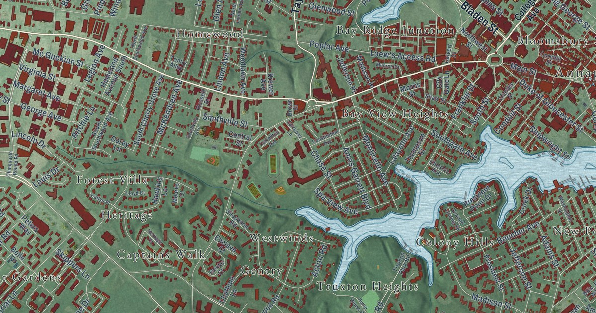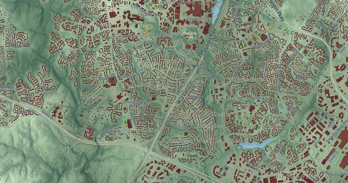
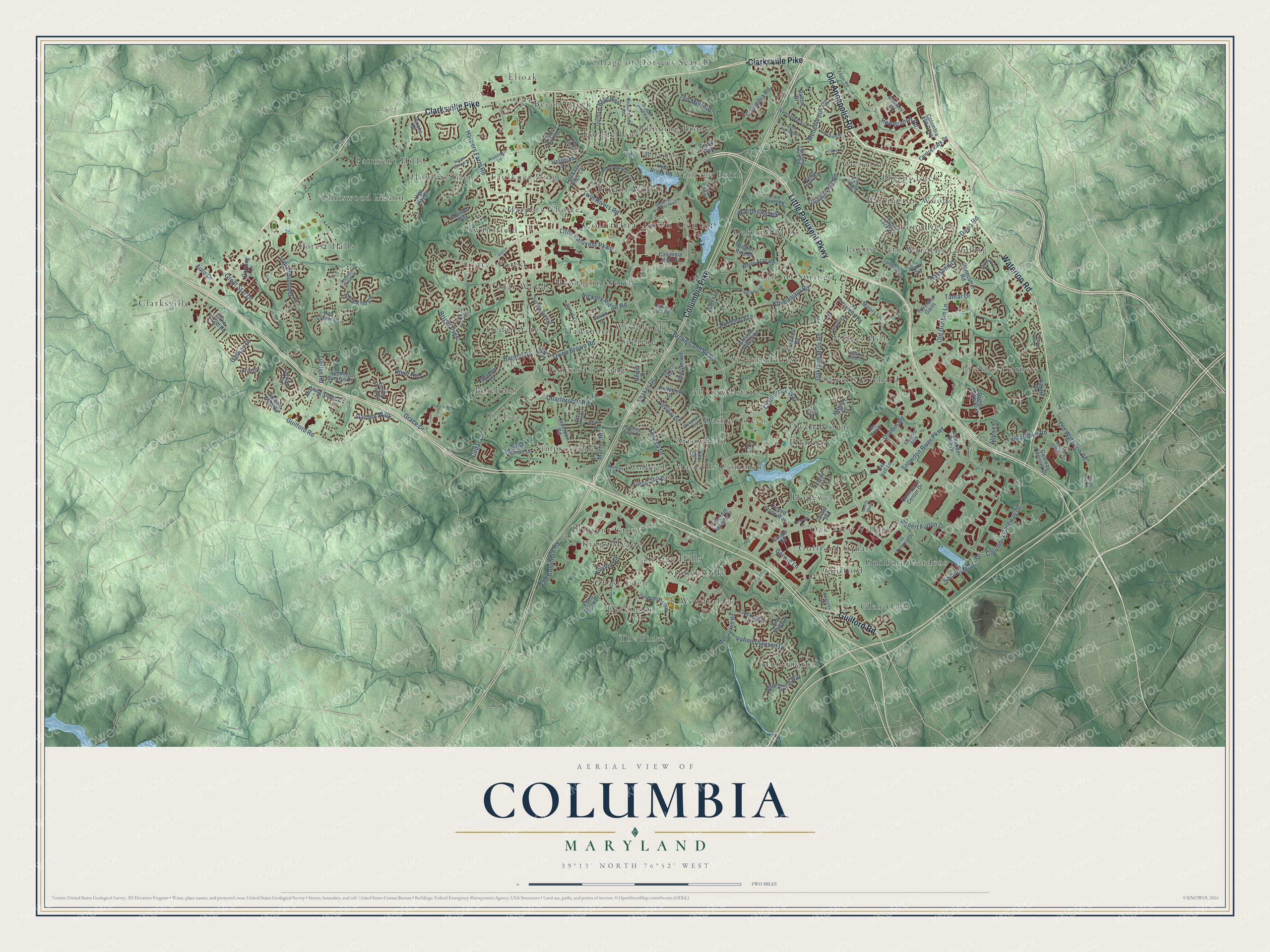
This beautifully detailed map of Columbia, Maryland was created in 2026 using aerial imagery combined with modern topographical, census, street and landmark data. It's a modern aerial view of Columbia in Howard County, Maryland, that combines modern data with a vintage aesthetic. The roads feature printed names, and if you look closely you can find your exact house accurately shown in its correct location.
Explore an aerial view of Columbia, Maryland
On this map you'll find Columbia Town Center, Symphony Woods, Allview Estates, Arrowhead, Barrington Woods, Beech Creek, Braeburn, Bryant Woods, Carriage Hills, Cedar Acres, Cedar Woods, Chase Eden, and more. Each red shape is a building, so zoom in on the preview and look for yours.
Every town has a first chapter, and Columbia is no exception. The National Register of Historic Places puts it this way: "Various dates in the
eighteenth century have been given for the oldest part of Dorsey Hall (generally assumed to be
the stone west wing), though these dates seem to have been mostly guesses or wishful thinking."
Columbia is a community in Howard County.
Take a closer look at the Columbia map
Names on this map
These names are printed on this map.
Places: Columbia Town Center, Symphony Woods, Allview Estates, Arrowhead, Barrington Woods, Beech Creek, Braeburn, Bryant Woods, Carriage Hills, Cedar Acres, Cedar Woods, Chase Eden, Chriswood Manor, Clarksville, Clarys Forest, Clemens Crossing, Dasher Green, Dickinson, Donleigh, Elioak, Elkhorn, Faulkner Ridge, Forest Hills, Glen Oaks, Glenmont, Guilford, Guilford Gardens, Guilford Square, Harpers Choice, Hawthorn, Hawthorn North, Hobbits Glen, Hopewell, Huntington, Jeffers Hill, Kings Meade, La Isla, Locust Park, Long Reach, Longfellow, MacGills Common, Oak View Village, Oakland Mills, Owen Brown, Patuxent Hills, Pfeiffer Corners, Phelps Luck, Pleasant Grove, Running Brook, Sebring, Sewells Orchard, Simpsonville, Stevens Forest, Stonebrook, Swansfield, Talbott Springs, The Birches, The Pines, Vantage Point, Village of Dorseys Search, Wardens Landing, Woodleigh and Woodvalley.
Streets and roads: Little Patuxent Parkway, Clarksville Pike, Waterloo Road, Columbia Pike, Old Annapolis Road, Guilford Road, Cradlerock Way, Old Columbia Road, Gerwig Lane, Old Waterloo Road, Cedar Lane, Columbia Gateway Drive.
More street names, A to Z
Alexander Bell Drive, Allen Lane, Allview Drive, Amherst Avenue, Auto Drive, Autumn Wind Circle, Basket Ring Drive, Beaverbrook Road, Beechwood Drive, Belleview Drive, Berger Road, Bright Plume, Bright Psge, Brokenland Parkway, Brook Way, Camelback Lane, Campfire Court, Cape Ann Drive, Carved Stone Way, Centre Park Drive, Clocktower Lane, Columbia 100 Parkway, Columbia Mall Circle, Columbia Road, Commerce Center Drive, Dalton Drive, Dark Fire Way, Dark Hawk Circle, Davis Road, Daylong Lane, Deepage Drive, Deep Cup, Dellwood Avenue, Departed Sunset Lane, Devon Drive, Dewey Drive, Diamondback Drive, Dobbin Road, Dried Earth Boulevard, Durham Road East, Durham Road West, Eden Brook Drive, Edgar Road, Eliots Oak Road, Empty Song Road, Erin Drive, Fair Oaks Drive, Farewell Road, Faulkner Ridge Circle, Foreland Garth, Freetown Road, Gales Lane, Galway Drive, Garden Walk, Gateway Overlook Drive, Gentle Shade, Golden Bell Way, Governor Warfield Parkway, Grace Drive, Great Star Drive, Green Mountain Circle, Harmel Drive, Harpers Farm Road, Harriet Tubman Lane, Hayshed Lane, Hesperus Drive, Hickory Ridge Road, Hidden Clearing, High Hay Drive, Hyla Brook Road, Ina Court, Indian Summer Drive, Jericho Road, Jerrys Drive, Kerry Hill Court, Kilimanjaro Road, Kindler Road, Lambskin Lane, Lark Brown Road, Lee Deforest Drive, Lightning View Road, Log Chain Road, Mad River Lane, Majors Lane, Malindy Circle, Mango Tree Road, Marsh Hawk Way, Martin Road, Mc Gaw Court, Mellenbrook Road, Morning Time Lane, Murray Hill Road, North Penfield Road, Oak Hall Lane, Oakland Mills Road, Old Dobbin Lane, Old Montgomery Road, Onward Trail, Owen Brown Road, Patriot Lane, Patuxent Woods Drive, Phelps Luck Drive, Pilar Court, Pine Drive, Purple Iris Lane, Quarterstaff Road, Red Branch Road, Red Clover Lane, Ridgeview Drive, Rivendell Lane, River Run, Robert Fulton Drive, Robinson Jefferson Drive, Rumsey Road, Rustling Leaf, Saddle Drive, Samuel Morse Drive, Santiago Road, Sea Shadow, Seneca Drive, Seneca Farm Road, Shadow Lane, Shaker Drive, Silver Sod, Slalom Lane, Snowden River Parkway, Southwind Circle, Spiral Cut, Stanford Boulevard, Stevens Forest Road, Stonecutter Road, Summer Hollow Lane, Summer Sunrise Drive, Sunny Spring, Sweet Hours Way, Tamar Drive, Ten Mills Road, Thunder Hill Road, Trotter Road, Twin Knolls Road, Twin Rivers Road, Vantage Point Road, Vollmerhausen Drive, Wake Forest Road, Wandering Way, Wesleigh Drive, White Acre Road, White Spring Way, Willow Bottom Drive, Windsor Court, Wooded Way.
Created by KNOWOL in 2026. The buildings are small red shapes, the roads carry their printed names, and shaded relief shows the shape of the land. The title panel reads "AERIAL VIEW OF COLUMBIA MARYLAND" with 39°13' NORTH 76°52' WEST.
Hang it in the hallway, the office or the cabin, or give it to someone who left Columbia and still calls it home. Open the preview and look for a street you know. See sizes and frames for the Columbia map.