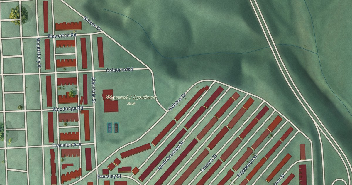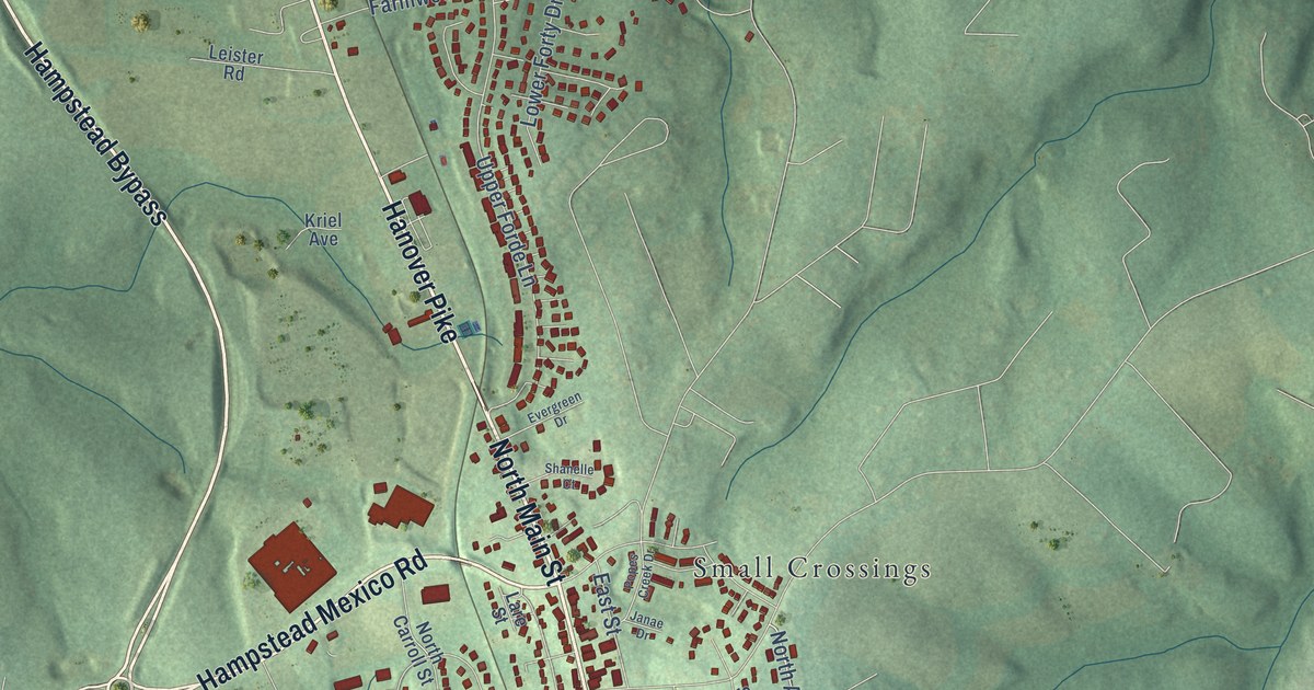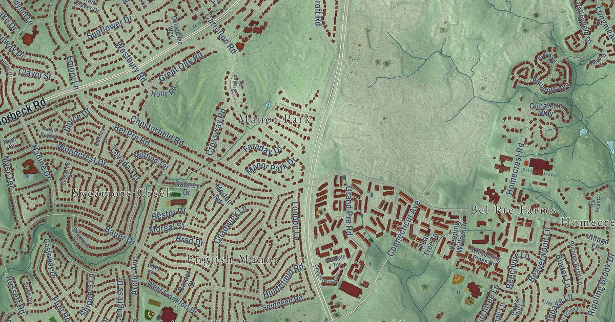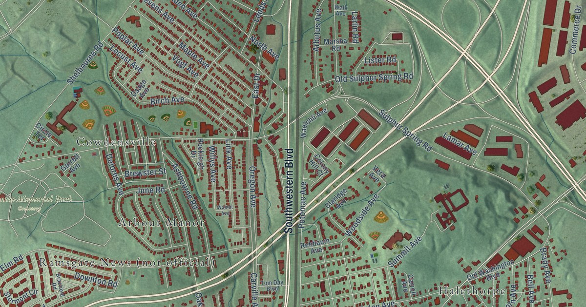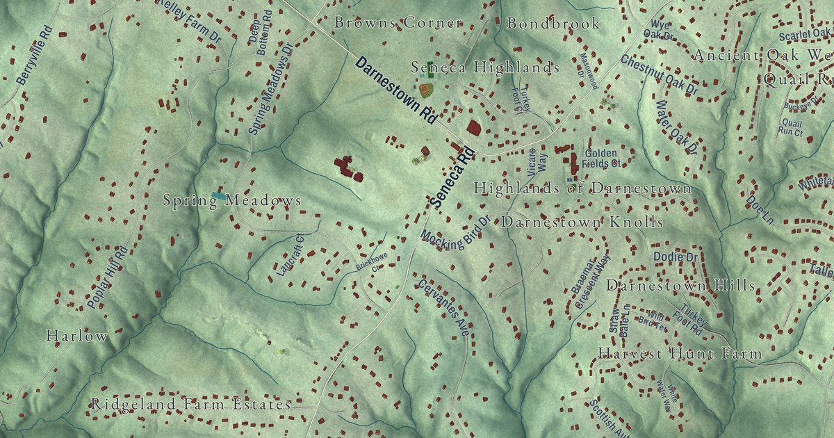
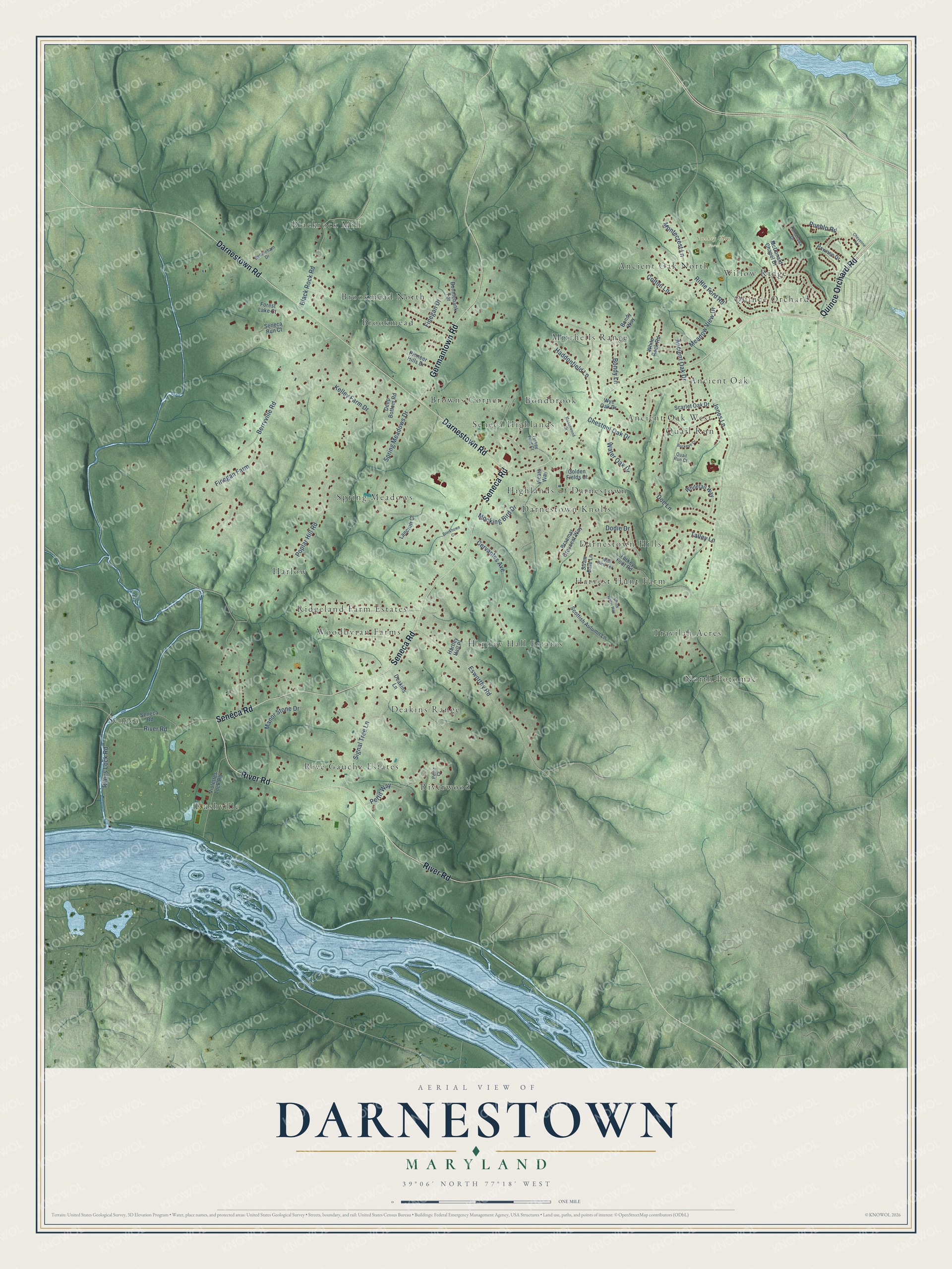
This beautifully detailed map of Darnestown, Maryland was created in 2026 using aerial imagery combined with modern topographical, census, street and landmark data. It's a modern aerial view of Darnestown in Montgomery County, Maryland, that combines modern data with a vintage aesthetic. The roads feature printed names, and if you look closely you can find your exact house accurately shown in its correct location.
Explore an aerial view of Darnestown, Maryland
On this map you'll find Smokey Glen Farm, Ancient Oak, Ancient Oak North, Ancient Oak West, Blackrock Mill, Bondbrook, Brookmead, Brookmead North, Browns Corner, Darnestown Hills, Darnestown Knolls, Deakins Range, and more. Each red shape is a building, so zoom in on the preview and look for yours.
Every town has a first chapter, and Darnestown is no exception. The Montgomery County Planning Department puts it this way: "A Presbyterian congregation organized in 1855 with ten members. John DuFief, who operated a substantial mill complex and shipping center (see DuFief Mill), donated three acres for a Presbyterian Church. The cornerstone of the church was laid on September 14, 1856, and the completed church building was dedicated on May 22, 1858."
Darnestown is a community in Montgomery County.
Take a closer look at the Darnestown map
Names on this map
These names are printed on this map.
Places: Smokey Glen Farm, Ancient Oak, Ancient Oak North, Ancient Oak West, Blackrock Mill, Bondbrook, Brookmead, Brookmead North, Browns Corner, Darnestown Hills, Darnestown Knolls, Deakins Range, Harlow, Hartley Hall Estates, Harvest Hunt Farm, Highlands of Darnestown, Mitchells Range, North Potomac, Quail Run, Quince Orchard, Ridgeland Farm Estates, Rive Gauche Estates, Riverwood, Rushville, Seneca, Seneca Highlands, Spring Meadows, Travilah Acres, Willow Ridge and Woodbyran Farms.
Streets and roads: Darnestown Road, Seneca Road, River Road, Germantown Road, Quince Orchard Road, Esworthy Road, Black Rock Road, Berryville Road, Poplar Hill Road, Jones Lane, Spring Meadows Drive, Riffle Ford Road.
More street names, A to Z
Ancient Oak Drive, Bellingham Drive, Bondy Lane, Bondy Way, Bonniebank Terrace, Braemar Crescent Way, Brickhowe Court, Buckeye Drive, Cervantes Avenue, Chestnut Oak Drive, Cheyenne Road, Colton Lane, Deakins Lane, Deep Bottom Road, Dodie Drive, Doe Lane, Finegan Drive, Finegan Farm, Forest Lake Court, Golden Fields Court, Haddonfield Lane, Hartley Hall Place, Kelley Farm Drive, Lancraft Court, Manor Stone Drive, Masonwood Drive, McDonald Chapel Drive, Meadow View Drive, Mocking Bird Drive, Montecrest Lane, Pawnee Drive, Pettit Court, Pettit Way, Pioneer Hills Drive, Pueblo Road, Quail Run Court, Rileys Lock Road, Scarlet Oak Drive, Scottish Autumn Lane, Seneca Run Court, Signal Tree Lane, Straw Bale Lane, Talley Lane, Tomahawk Drive, Turkey Foot Court, Turkey Foot Road, Vicars Way, Violettes Lock Road, Water Oak Drive, White Rock Road, Whitetail Way, White Water Way, Wild Bird Terrace, Wye Oak Drive.
Created by KNOWOL in 2026. The buildings are small red shapes, the roads carry their printed names, and shaded relief shows the shape of the land. The title panel reads "AERIAL VIEW OF DARNESTOWN MARYLAND" with 39°06' NORTH 77°18' WEST.
Hang it in the hallway, the office or the cabin, or give it to someone who left Darnestown and still calls it home. Open the preview and look for a street you know. See sizes and frames for the Darnestown map.