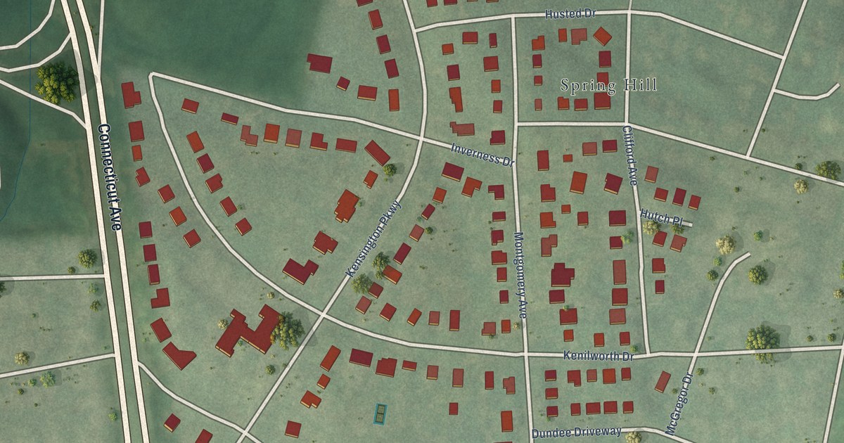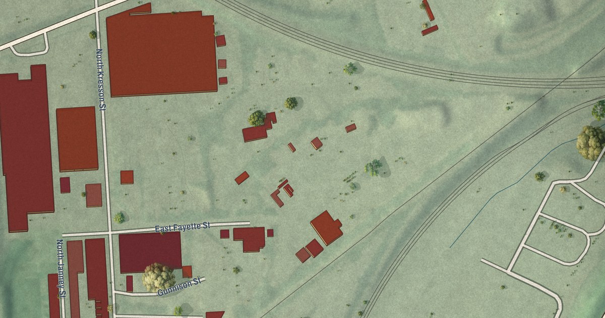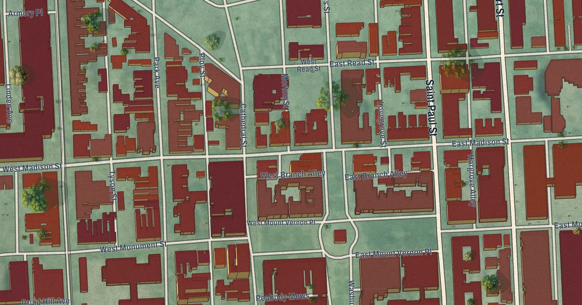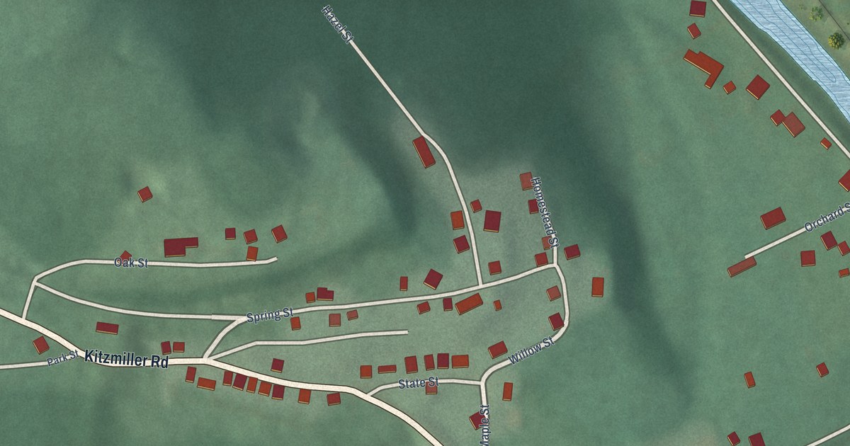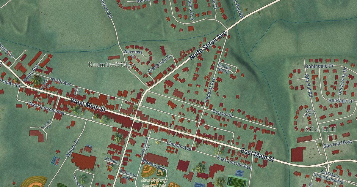
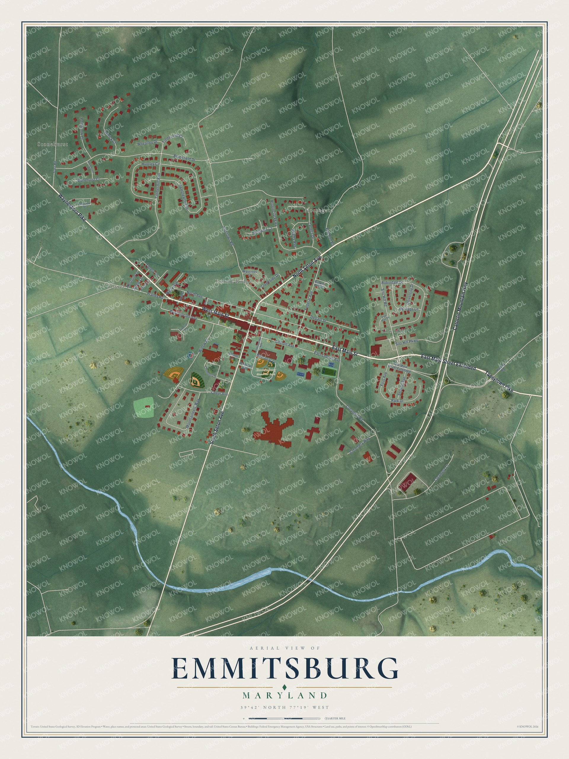
This beautifully detailed map of Emmitsburg, Maryland was created in 2026 using aerial imagery combined with modern topographical, census, street and landmark data. It's a modern aerial view of Emmitsburg in Frederick County, Maryland, that combines modern data with a vintage aesthetic. The roads feature printed names, and if you look closely you can find your exact house accurately shown in its correct location.
Explore an aerial view of Emmitsburg, Maryland
On this map you'll find Northgate, Emmitsburg Memorial Park, Emmit Ridge, Silo Hill, Stonehurst, Troxel, East Main Street, East Main Street Extended, North Seton Avenue, West Main Street, Waynesboro Pike, Catoctin Mountain Highway, and more. Each red shape is a building, so zoom in on the preview and look for yours.
Every town has a first chapter, and Emmitsburg is no exception. The record at services.arcgis.com puts it this way: "Interstate and Defense Highways The first US Army transcontinental motor convoy departed Washington DC for San Francisco on July 7, 1919, to survey roads and test vehicles for military purposes."
Emmitsburg is a town in Frederick County. The Census Bureau counted 2,770 people here in 2020.
Take a closer look at the Emmitsburg map
Names on this map
These names are printed on this map.
Places: Northgate, Emmitsburg Memorial Park, Emmit Ridge, Silo Hill, Stonehurst and Troxel.
Streets and roads: East Main Street, East Main Street Extended, North Seton Avenue, West Main Street, Waynesboro Pike, Catoctin Mountain Highway, South Seton Avenue, Taneytown Pike, Lincoln Avenue, West Lincoln Avenue, Silo Hill Road, Federal Avenue.
More street names, A to Z
Adams Avenue, Armstrong Lane, Brookfield Drive, Bunker Hill Drive, Bushman Drive, Cadle Lane, Carrick Court, Cedar Avenue, Chesapeake Avenue, Community Drive, Creamery Court, Creamery Road, Creamery Way, Creekside Drive, Depaul Street, East Lincoln Avenue, First Avenue, Flat Run Court, Flat Run Road, Frailey Road, Harney Road, Hayes Lane, Heritage Lane, Hoffman Lane, Huntley Circle, Irishtown Court, Irishtown Road, Memorial Drive, Mountaineers Way, North Avenue, Park Drive, Patterson Avenue, Pembrook Court, Potomac Avenue, Provincial Parkway, Ramblewood Drive, Robindale Drive, School Lane, Second Avenue, Silo Hill Parkway, Stonehurst Court, Stonehurst Drive, Stone Lane, Tanery Lane, Timbermill Court, Timbermill Run, Tract Road, University Drive, Waycross Court, Welty Avenue, Wheatley Drive, Willow Drive, Zanella Drive.
Created by KNOWOL in 2026. The buildings are small red shapes, the roads carry their printed names, and shaded relief shows the shape of the land. The title panel reads "AERIAL VIEW OF EMMITSBURG MARYLAND" with 39°42' NORTH 77°19' WEST.
Hang it in the hallway, the office or the cabin, or give it to someone who left Emmitsburg and still calls it home. Open the preview and look for a street you know. See sizes and frames for the Emmitsburg map.