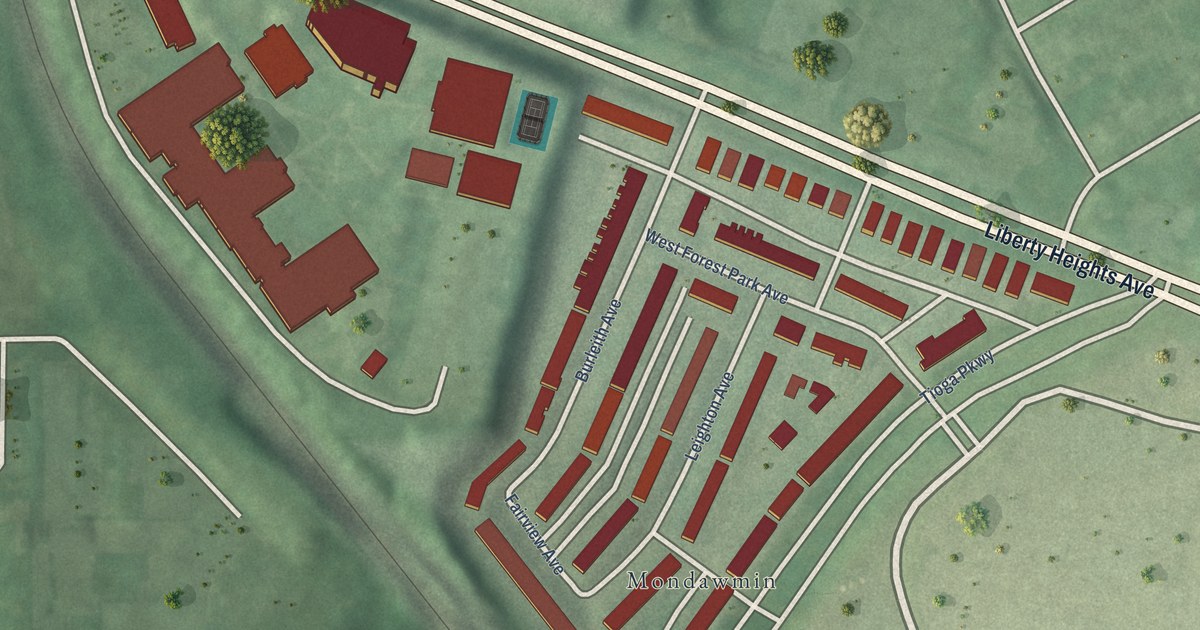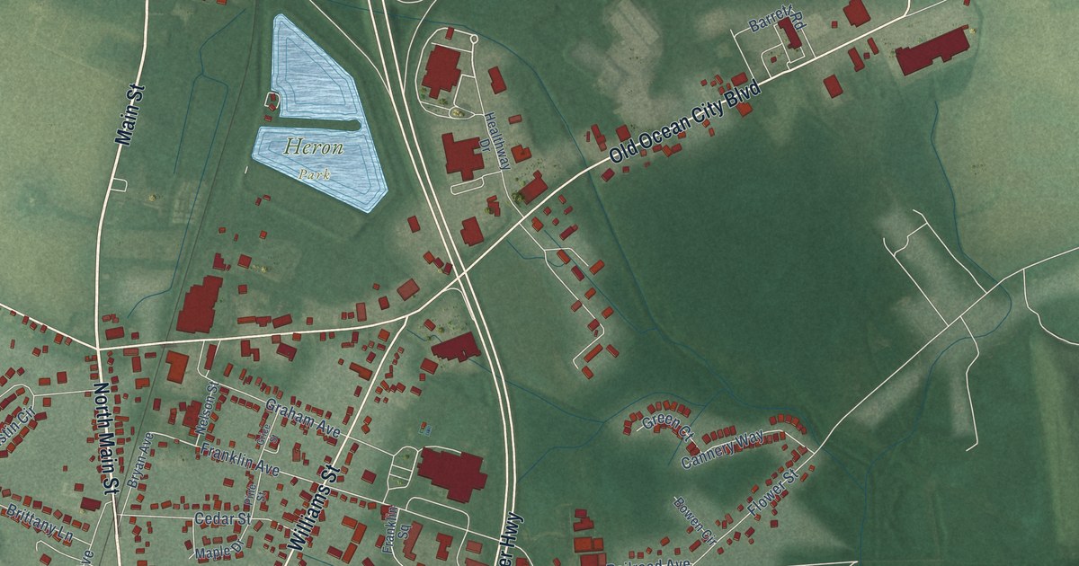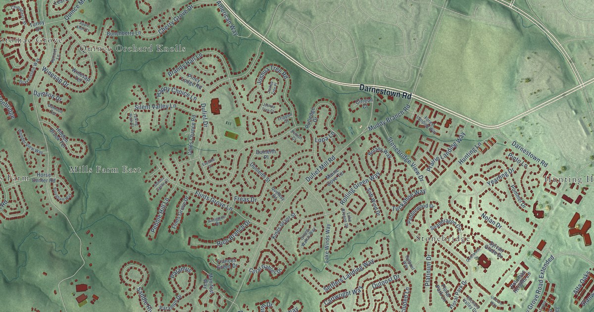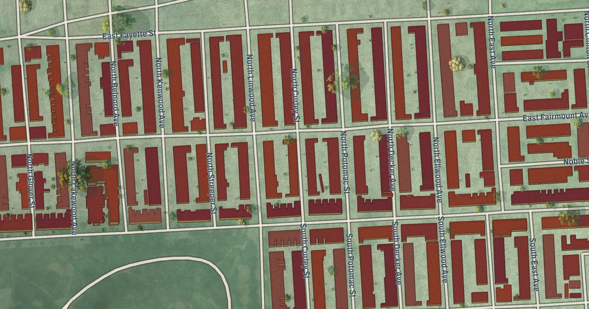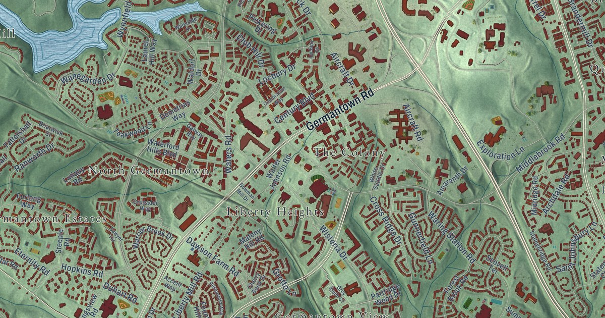
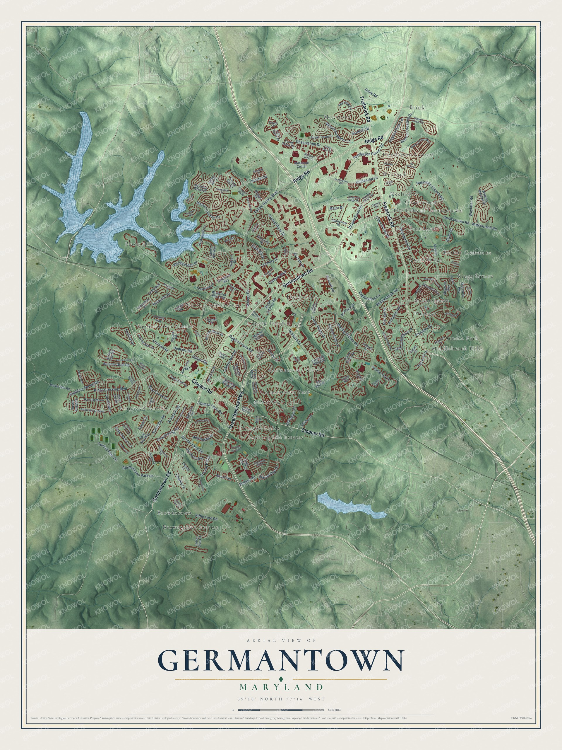
This beautifully detailed map of Germantown, Maryland was created in 2026 using aerial imagery combined with modern topographical, census, street and landmark data. It's a modern aerial view of Germantown in Montgomery County, Maryland, that combines modern data with a vintage aesthetic. The roads feature printed names, and if you look closely you can find your exact house accurately shown in its correct location.
Explore an aerial view of Germantown, Maryland
On this map you'll find Black Hill, Blount Commons, Brandermill, Brink, Brownstown, Brownstown Estates, Chadswood, Farmingdale Estates, Germantown Estates, Germantown Park, Germantown View, Henderson Corner, and more. Each red shape is a building, so zoom in on the preview and look for yours.
Every town has a first chapter, and Germantown is no exception. The Internet Archive puts it this way: "Germantown takes its name from the fact of its first
settlement having been made by German families,
notably by Frederick Snyder, Frederick Riohter, and
Peter Hogan."
Germantown is a community in Montgomery County.
Take a closer look at the Germantown map
Names on this map
These names are printed on this map.
Places: Black Hill, Blount Commons, Brandermill, Brink, Brownstown, Brownstown Estates, Chadswood, Farmingdale Estates, Germantown Estates, Germantown Park, Germantown View, Henderson Corner, Kings Square, Kingsview Knolls, Liberty Heights, Middlebrook, Middlebrook Hills, Milestone, Neelsville, North Germantown, Pleasant Fields, Plumgar, Quail Ridge, Seneca Park, Stoneridge, The Colony, The Elms at Germantown and Wexford.
Streets and roads: Germantown Road, Frederick Road, Great Seneca Highway, Ridge Road, Clopper Road, Gate Dancer Lane, Central Park Circle, Father Hurley Boulevard, Goldenrod Lane, Wisteria Drive, Observation Drive, Middlebrook Road.
More street names, A to Z
Accent Way, Aircraft Drive, Aircraft Road, Allspice Drive, Amaranth Drive, Amber Hill Court, Anndyke Way, Ansel Terrace, Archdale Road, Ashleigh Greene, Ashmeade Road, Autumn Crest Road, Autumn Gold Road, Autumn Mist Drive, Bailiwick Terrace, Bear Creek Drive, Birdseye Drive, Black Kettle, Blunt Road, Boland Farm Road, Bowman Mill Drive, Brandermill Drive, Briarwick Street, Bridger Drive, Brink Road, Broken Oak Road, Bromfield Road, Bubbling Spring, Bubbling Spring Road, Bunyan Circle, Carlson Farm Court, Celebration Way, Century Boulevard, Charity Court, Charity Lane, Cherry Bend Drive, Choctaw Court, Cider Barrel Drive, Cinnamon Drive, Clear Smoke, Cloverdale Place, Club Hill Drive, Coachmans Road, Collins Drive, Cornflower, Cottage Garden Drive, Country Meadow, Creamery Hill Drive, Crestmount, Cricket Hill Drive, Cross Ridge Drive, Crownsgate Circle, Crusader Way, Crystal Hill Circle, Crystal Rock Drive, Dairy Farm Drive, Dark Star Way, Dawson Farm Road, Demetrias Way, Diamond Hill Drive, Doxdam Terrace, Duhart Road, Eagles Nest, Eternity Road, Exploration Lane, Fable Drive, Falconcrest Road, Falling Star Road, Festival Drive, Flanagan Lane, Foolish Pleasure Lane, Forest Brook Road, Found Stone Road, Fountain Hills Drive, Fox Field Circle, Furlong Way, Galway Bay, Germantown Park Drive, Grassy Knoll Terrace, Great Park Circle, Grey Eagle Court, Grotto Lane, Gunnerfield Lane, Harmony Woods Lane, Harvest Moon, Hazelnut Court, Henderson Corner Road, Hickory Forest Way, High Point Drive, Hopkins Road, Hoyles Mill Road, Indian Grass Drive, Kings Crossing Boulevard, Kingshill Road, Kingsview Road, Kinster Drive, Laurel Hill Way, Leaman Farm Road, Liberty Mill Road, Locbury Circle, Locbury Drive, Lullaby Road, Madrigal Drive, Major Drive, Mateny Hill Road, Mateny Road, Maycrest Way, McFarlin Drive, Metz Drive, Midcounty Highway, Midridge Road, Milestone Center, Milestone Center Drive, Milestone Manor Lane, Minstrel Tune Drive, Neelsville Church Road, Othello Terrace, Panthers Ridge Drive, Partridge Wood Drive, Pickering Court, Pickering Drive, Plummer Drive, Polynesian Lane, Porterfield Way, Princess Avenue, Quiet Oak Lane, Ranworth Drive, Red Rocks Drive, Rembrant Street, Richter Farm Road, Riffle Ford Road, Rockingham Road, Rosebay Drive, Royal Crown Drive, Saint Johnsbury Lane, Sanderling Place, Sawyer Terrace, Scenery Drive, Schaeffer Road, Scovell Terrace, Seneca Crossing Drive, Seneca Forest Circle, Shadyside Way, Shakespeare Boulevard, Sky Blue Drive, Sparkling Water Drive, Spinning Wheel Drive, Stags Leap Terrace, Staleybridge Road, Stardrift Drive, Staten Court, Steeple Road, Stonebridge Terrace, Summer Oak Court, Summer Oak Drive, Summer Sweet Terrace, Sunnyview Drive, Tall Forest Drive, Tatani Drive, Tattershall Drive, Tattershall Place, Teakwood Lane, Virginia Pine Terrace, Waldorf Drive, Walter Johnson Road, Wanegarden Drive, Waring Station Road, Warrior Brook Drive, Waterford Hills Boulevard, Waters Hollow Road, Waterside Drive, Waters Landing Drive, Waters Road, Watkins Meadow Drive, Watkins Mill Road, Wayfarer Road, Wheatfield Terrace, Wheatridge Drive, White Saddle Drive, Wildman Court, Wynnfield Drive.
Created by KNOWOL in 2026. The buildings are small red shapes, the roads carry their printed names, and shaded relief shows the shape of the land. The title panel reads "AERIAL VIEW OF GERMANTOWN MARYLAND" with 39°10' NORTH 77°16' WEST.
Hang it in the hallway, the office or the cabin, or give it to someone who left Germantown and still calls it home. Open the preview and look for a street you know. See sizes and frames for the Germantown map.