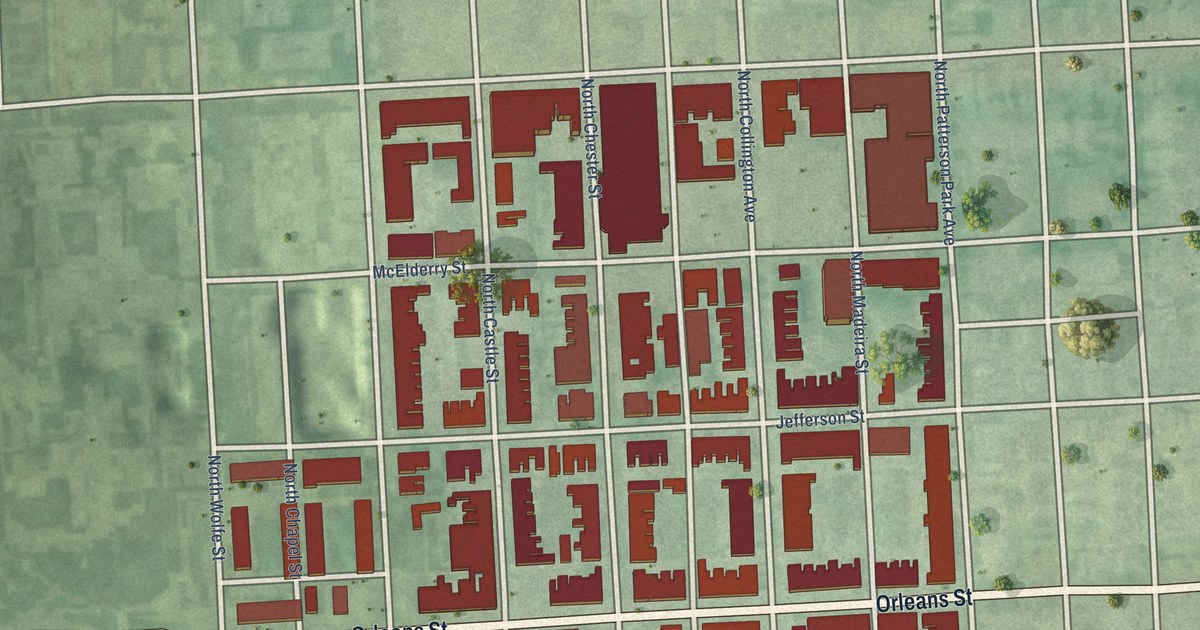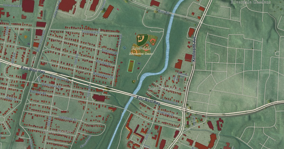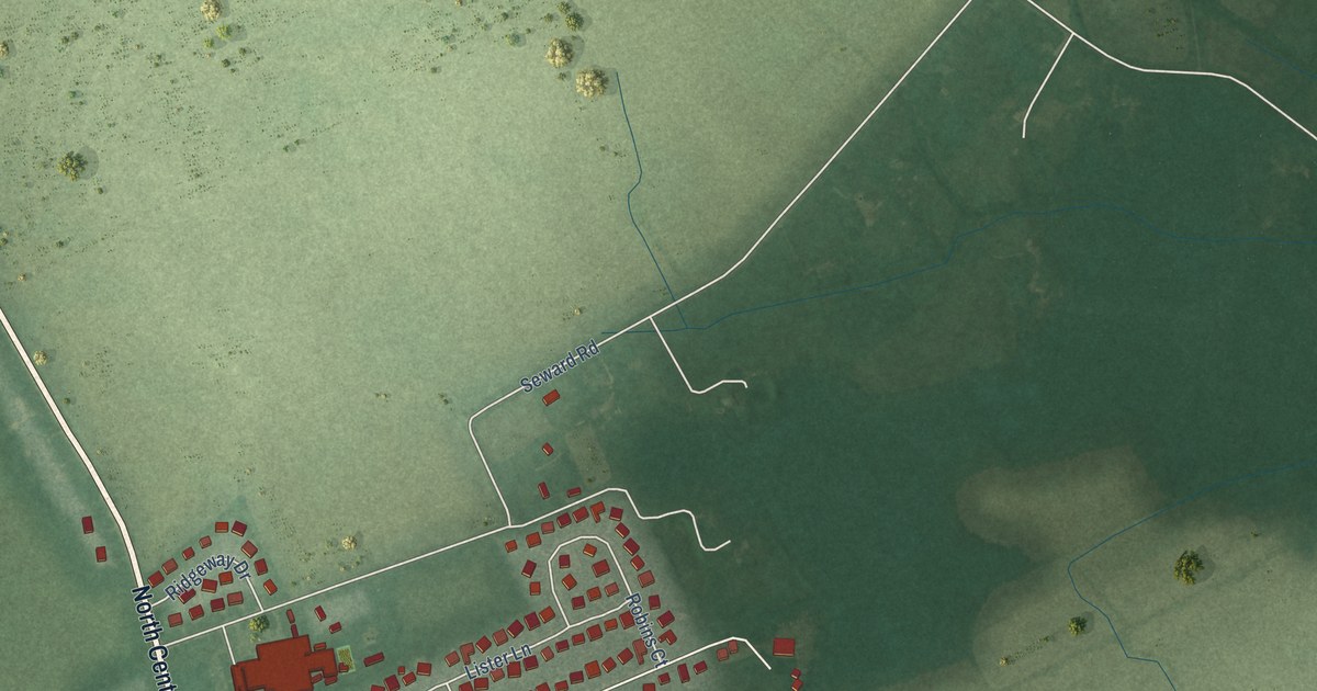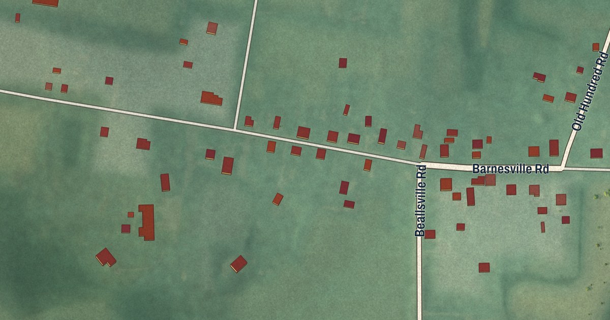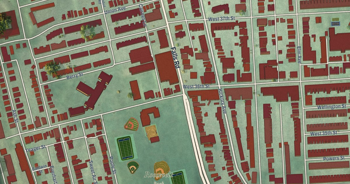
This beautifully detailed map of Hampden, Maryland was created in 2026 using aerial imagery combined with modern topographical, census, street and landmark data. It’s a one-of-a-kind view of Hampden that combines accurate data with a vintage aesthetic. The map shows every building in its true location, many of the roads carry their names, and the shaded topographic relief shows the shape of the land.
Explore an aerial view of Hampden, Maryland
On the map you’ll find Roosevelt Park, Wyman Park, Saint Mary’s Cemetery, and Buena Vista Park, along with Falls Road, Whitehall Street, Hickory Avenue, Morling Avenue, Edgehill Avenue, Keswick Road, Elm Avenue, Chestnut Avenue, and more. If you look closely you can even find your house accurately drawn in its correct location. Zoom in on the preview to look for yours.
Did you know this piece of Hampden, Maryland history?
From Baltimore Heritage: "In 1855, the Mt. Vernon Company controlled six mills in the Jones Falls Valley from Mt. Washington to Remington, and established adjoining villages that would grow into the neighborhoods of Hampden and Woodberry."
Hampden is a neighborhood in Baltimore City.
Take a closer look at the Hampden map
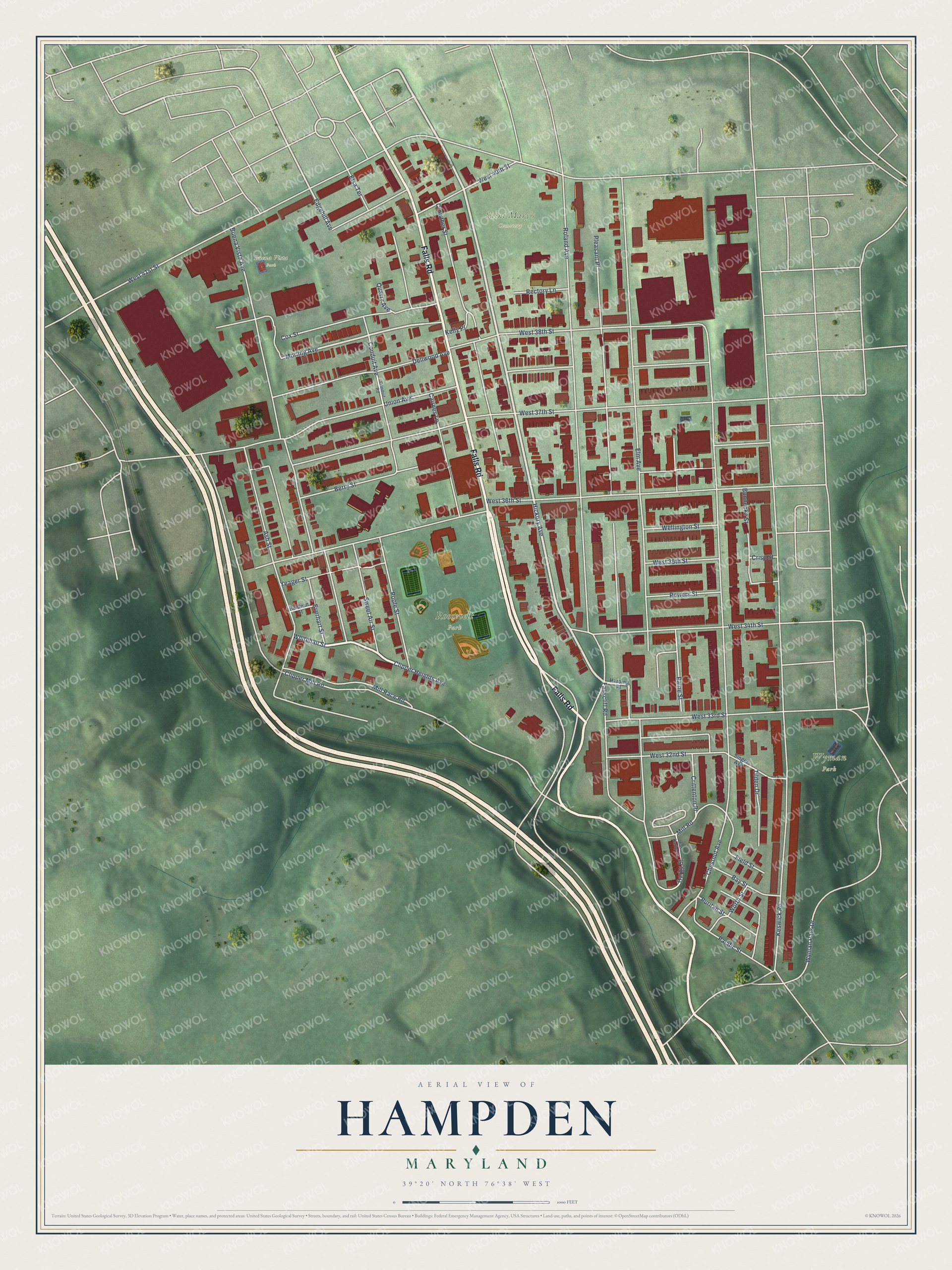
Street and place names on the Hampden, Maryland map
These names are printed on the map of Hampden, Maryland.
Places: Roosevelt Park, Wyman Park, Saint Mary's Cemetery and Buena Vista Park.
Streets and roads: Falls Road, Whitehall Street, Hickory Avenue, Morling Avenue, Edgehill Avenue, Keswick Road, Elm Avenue, Chestnut Avenue, Roland Avenue, West 36th Street, West 37th Street, Buena Vista Avenue.
More street names, A to Z
Ash Street, Baldwin Street, Bay Street, Berry Street, Bunnecke Street, Cairnes Lane, Clipper Heights Avenue, Clipper Mill Road, Conduit Avenue, Conduit Road, Cox Street, Crisp Street, Crittenton Place, Crowther Street, Darby Street, Dellwood Avenue, East Darby Street, Elsa Terrace, Everhart Street, Fallscliff Road, Field Street, Harding Place, Kelly Place, Mill Race Road, Mill Road, Pacific Street, Paine Street, Pleasant Place, Poole Street, Powers Street, Puritan Street, Quarry Avenue, Rectory Lane, Singer Avenue, Sweet Air Street, Tilden Drive, Union Avenue, Wellington Street, West 32nd Street, West 33rd Street, West 34th Street, West 35th Street, West 38th Street, West 40th Street, West 41st Street, Worth Street, Wyman Park Drive, Yeager Street.
See the Hampden, Maryland map on a wall
The Hampden map as an 18 x 24 inch print in a black frame.

This beautifully detailed map of Hampden makes an attractive addition to your office, library, or den, and it can even be used to teach children the geography and history of the area. It also makes a great gift for someone who left Hampden and still calls it home. When you’re done exploring, click here to get your copy of the Hampden map.