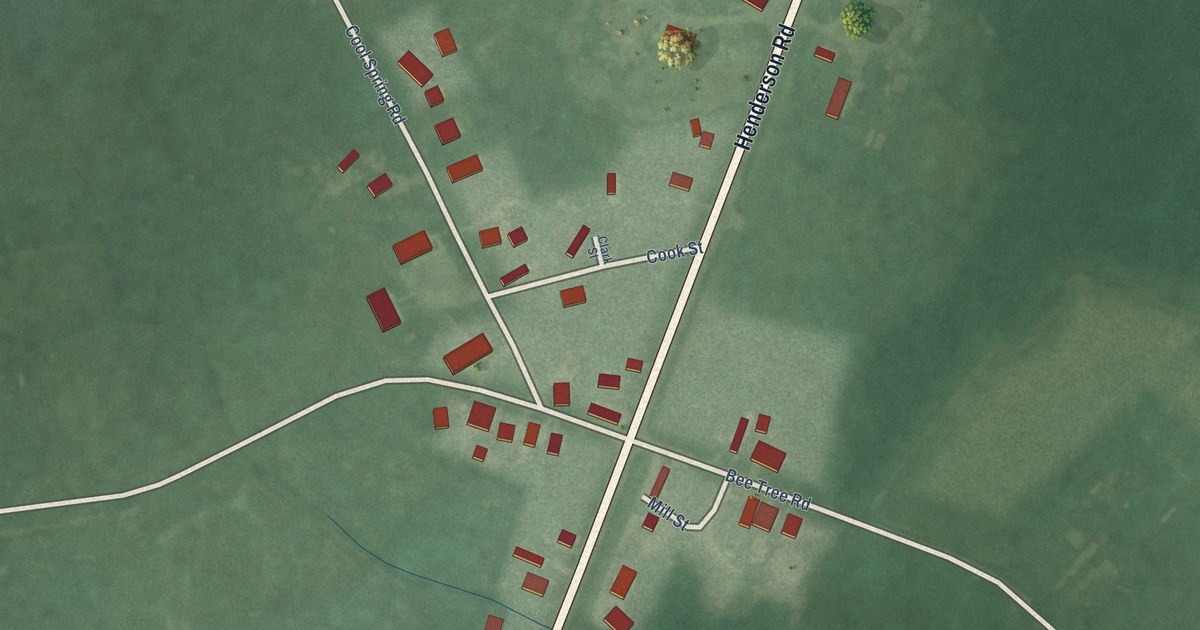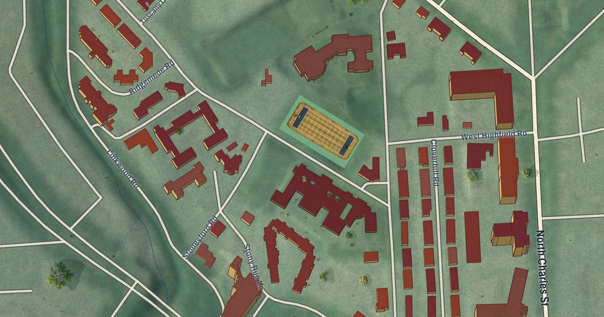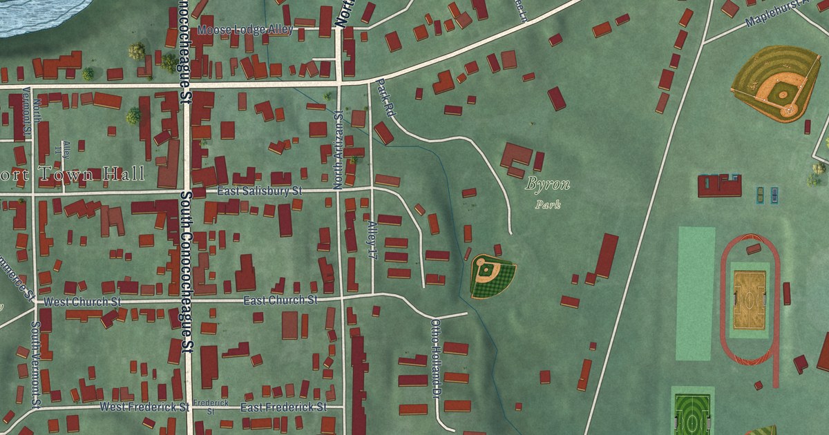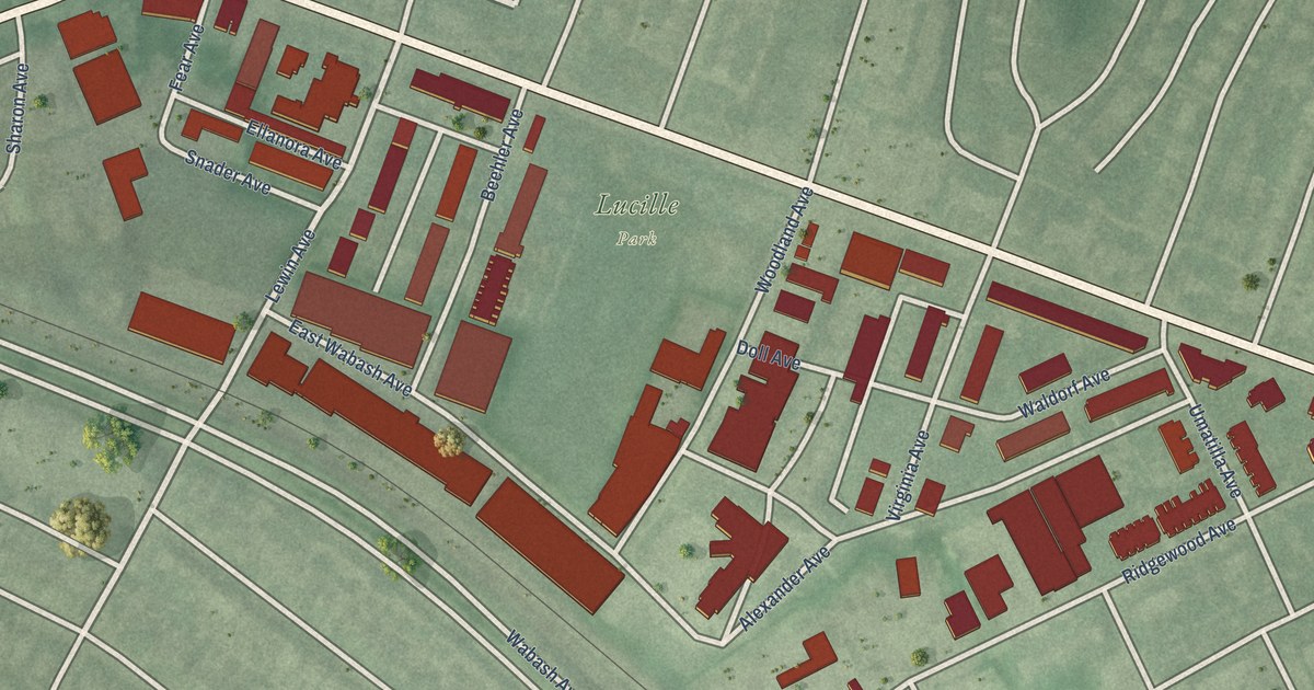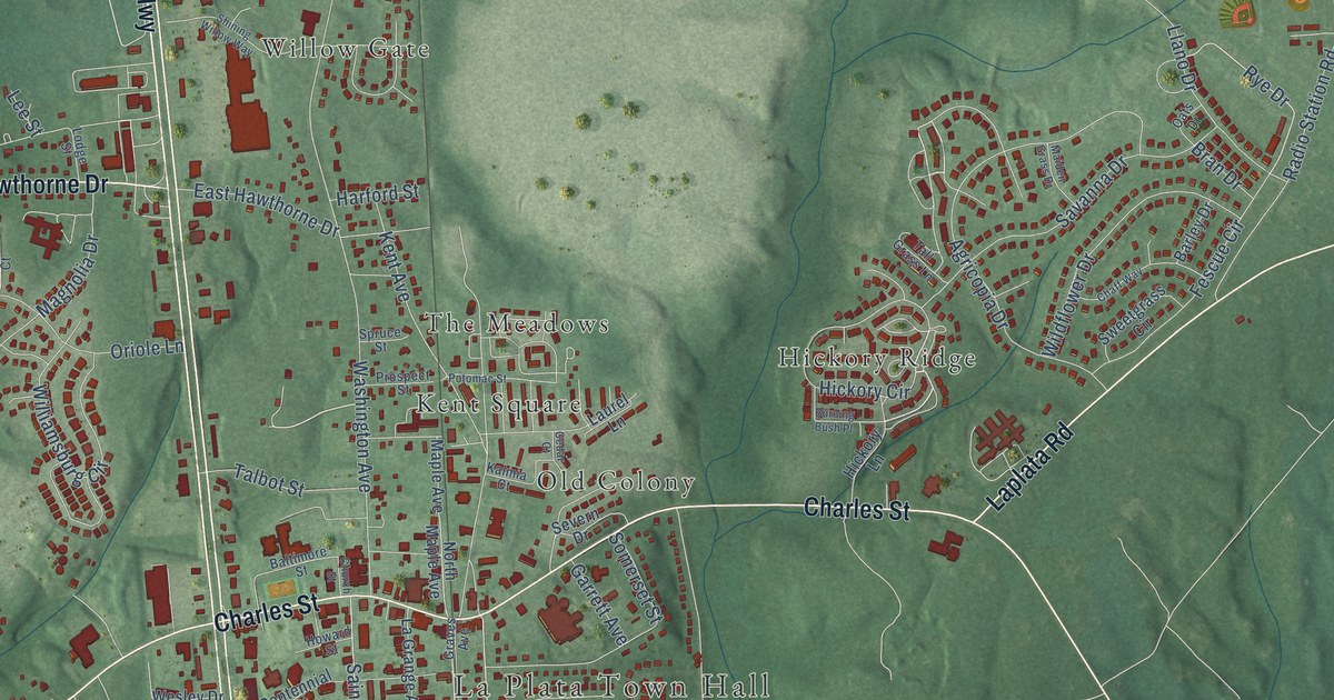
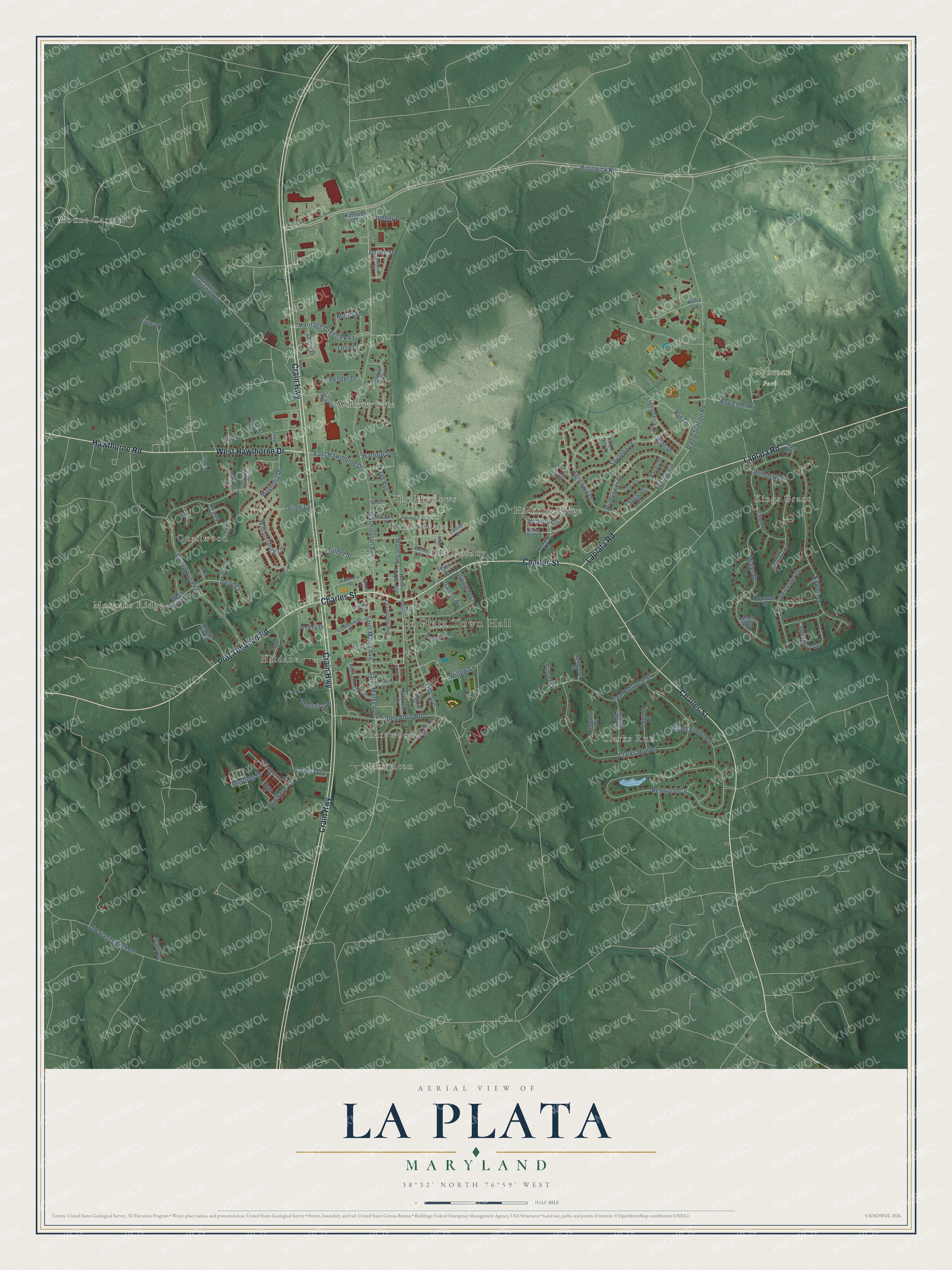
This beautifully detailed map of La Plata, Maryland was created in 2026 using aerial imagery combined with modern topographical, census, street and landmark data. It's a modern aerial view of La Plata in Charles County, Maryland, that combines modern data with a vintage aesthetic. The roads feature printed names, and if you look closely you can find your exact house accurately shown in its correct location.
Explore an aerial view of La Plata, Maryland
On this map you'll find La Plata Town Hall, Tilghman Park, Charowood, Clarks Run, Haldane, Hickory Ridge, Kent Square, Kings Grant, Maxwelton, Morgans Ridge, Mount Carmel, Old Colony, and more. Each red shape is a building, so zoom in on the preview and look for yours.
La Plata has a story worth telling. The record at services.arcgis.com puts it this way: "Chandlers Hope 2 miles Job Chandler, first Charles County settler, built the oldest part of this house, 1639-1650, aided by the Potopaco Indians."
La Plata is a town in Charles County. The Census Bureau counted 10,159 people here in 2020.
Take a closer look at the La Plata map
Names on this map
These names are printed on this map.
Places: La Plata Town Hall, Tilghman Park, Charowood, Clarks Run, Haldane, Hickory Ridge, Kent Square, Kings Grant, Maxwelton, Morgans Ridge, Mount Carmel, Old Colony, Quailwood, The Meadows and Willow Gate.
Streets and roads: Crain Highway, Charles Street, Laplata Road, Hawthorne Road, Port Tobacco Road, West Hawthorne Drive, Rosewick Road, Hickory Circle, Oak Avenue, Rye Drive, Willow Lane, Washington Avenue.
More street names, A to Z
Agricopia Drive, Aspen Court, Audie Lane, Baltimore Street, Barley Drive, Bath Drive, Bivins Place, Box Elder Road, Bran Drive, Buckeye Circle, Burning Bush Place, Butternut Court, Canterbury Lane, Cardinal Court, Carols Place, Catalpa Drive, Cedar Court, Centennial Street, Chaff Way, Charleston Court, Chestnut Court, Church Street, Clarks Run Road, Cornwall Drive, Delores Place, Derby Drive, Dogwood Court, Dolly Drive, Drury Drive, Dulles Street, East Hawthorne Drive, East Patuxent Drive, Edelen Station Place, Fescue Circle, Finch Court, Forest Lane, Garrett Avenue, Glen Albin Road, Glen Oak Court, Graves Avenue, Haldane Drive, Harford Street, Hemlock Court, Heritage Green Parkway, Hibiscus Court, Hickory Lane, Howard Street, Kalmia Court, Kathleen Place, Kent Avenue, La Grange Avenue, Laurel Lane, Leeds Way, Lee Street, Leicester Drive, Lelia Court, Llano Drive, Lodge Street, Lumber Place, Madison Street, Magnolia Drive, Maiden Grass Drive, Maple Avenue, Martin Drive, Monteiro Place, Morris Drive, Mustang Drive, Norfolk Drive, North Maple Avenue, Oats Drive, Old Stagecoach Road, Oriole Lane, Osprey Drive, Parkway Subdivision Road, Patuxent Court, Pender Drive, Pheasant Lane, Pine Street, Pocahontas Court, Potomac Street, Powhatan Court, Prospect Street, Quail Court, Quailwood Parkway, Radio Station Road, Redwood Circle, Saint Marys Avenue, Savanna Drive, Scarlet Oak Road, Severn Drive, Shining Willow Way, Silver Linden Drive, Somerset Street, South Wiltshire Court, Spruce Street, Station Drive, Steeplechase Drive, Suffolk Drive, Sweetgrass Circle, Talbot Street, Tall Grass Lane, Teal Court, Wales Drive, Walnut Hill Road, Wesley Drive, West Quail Lane, Wildflower Drive, Williamsburg Circle, Wiltshire Drive.
Created by KNOWOL in 2026. The buildings are small red shapes, the roads carry their printed names, and shaded relief shows the shape of the land. The title panel reads "AERIAL VIEW OF LA PLATA MARYLAND" with 38°32' NORTH 76°59' WEST.
It looks right in a kitchen, an office or a den, and it's a gift for anyone who grew up in La Plata or moved away. Open the preview and find your street. See sizes and frames for the La Plata map.