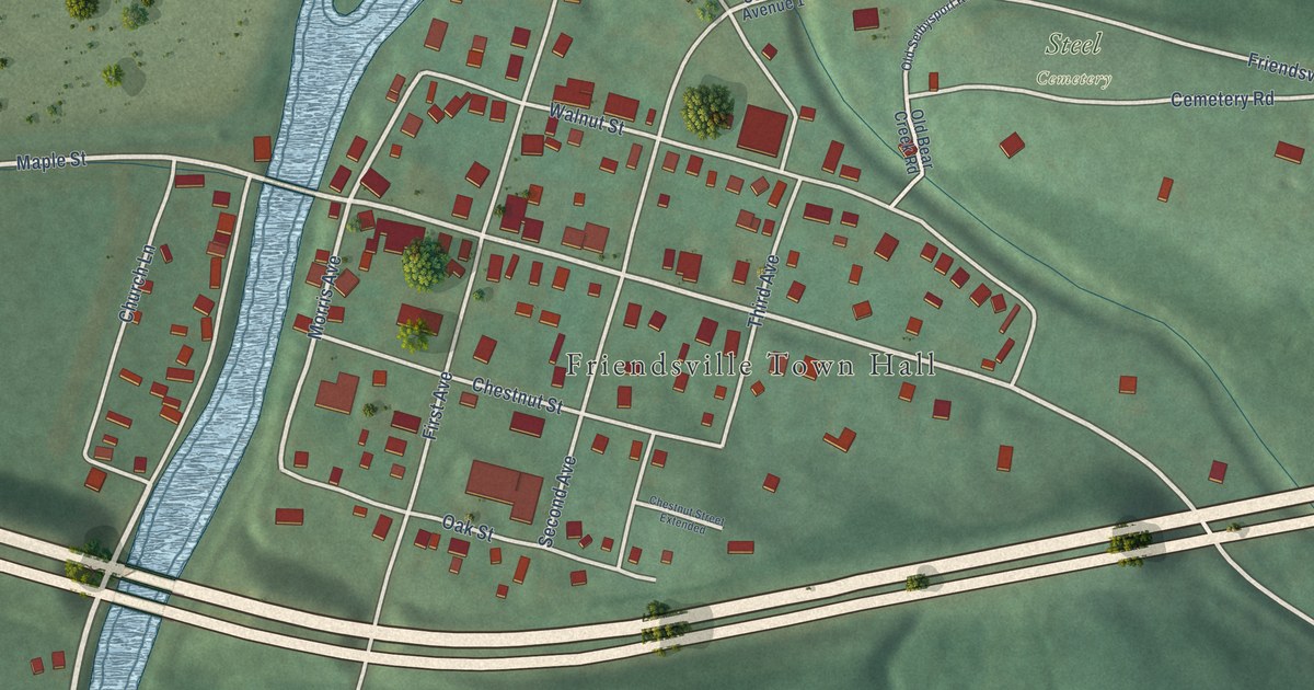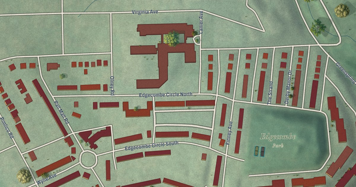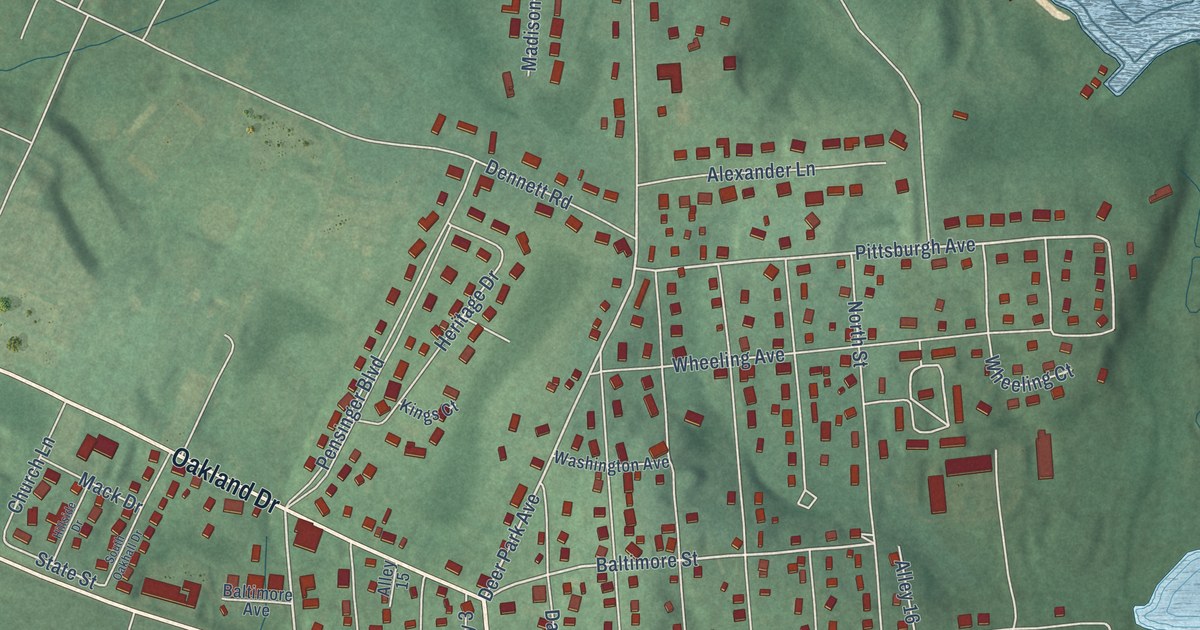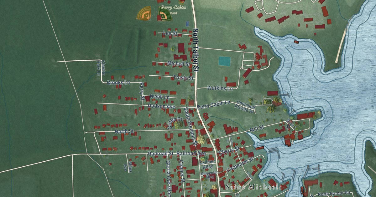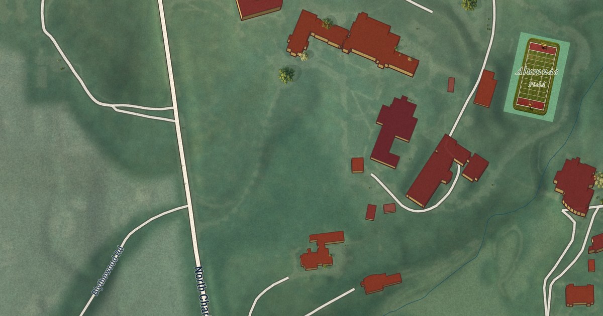
This beautifully detailed map of Loyola/Notre Dame, Maryland was created in 2026 using aerial imagery combined with modern topographical, census, street and landmark data. It's a modern aerial view of Loyola/Notre Dame in Baltimore City, Maryland, that combines modern data with a vintage aesthetic. The roads feature printed names, and if you look closely you can find your exact house accurately shown in its correct location.
Explore an aerial view of Loyola/Notre Dame, Maryland
On this map you'll find Saint Mary's Catholic Cemetery, Alumnae Field, Evergreen, North Charles Street, Millbrook Road, Blythewood Road, East Cold Spring Lane, West Cold Spring Lane, Winston Avenue, Early Way, Underwood Road, and more. Each red shape is a building, so zoom in on the preview and look for yours.
Here is a piece of Loyola/Notre Dame history, in the words of the record. The Baltimore Heritage puts it this way: "With 48 rooms, a soaring portico, and a Tiffany designed glass canopy, Evergreen House stands out as one of Baltimore's best Gilded Age mansions. The house was originally built in 1857 by the Broadbent Family."
Loyola/Notre Dame is a neighborhood in Baltimore City.
Take a closer look at the Loyola/Notre Dame map
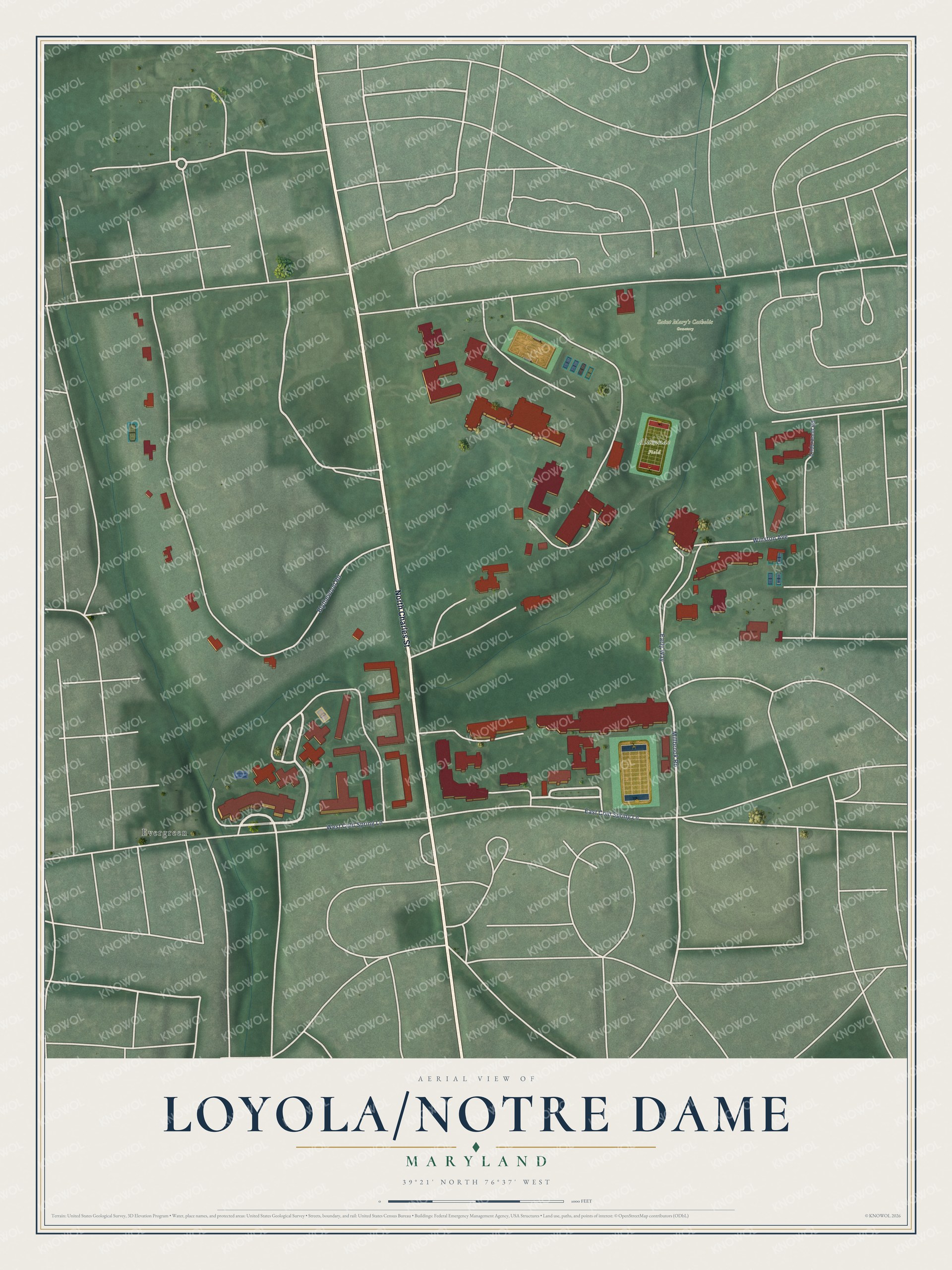
Created by KNOWOL in 2026. The buildings are small red shapes, the roads carry their printed names, and shaded relief shows the shape of the land. The title panel reads "AERIAL VIEW OF LOYOLA/NOTRE DAME MARYLAND" with 39°21' NORTH 76°37' WEST.
It suits a den, a classroom or a front hall, and it makes a gift for anyone with Loyola/Notre Dame roots. Open the preview and find the block you know. See sizes and frames for the Loyola-Notre Dame map.