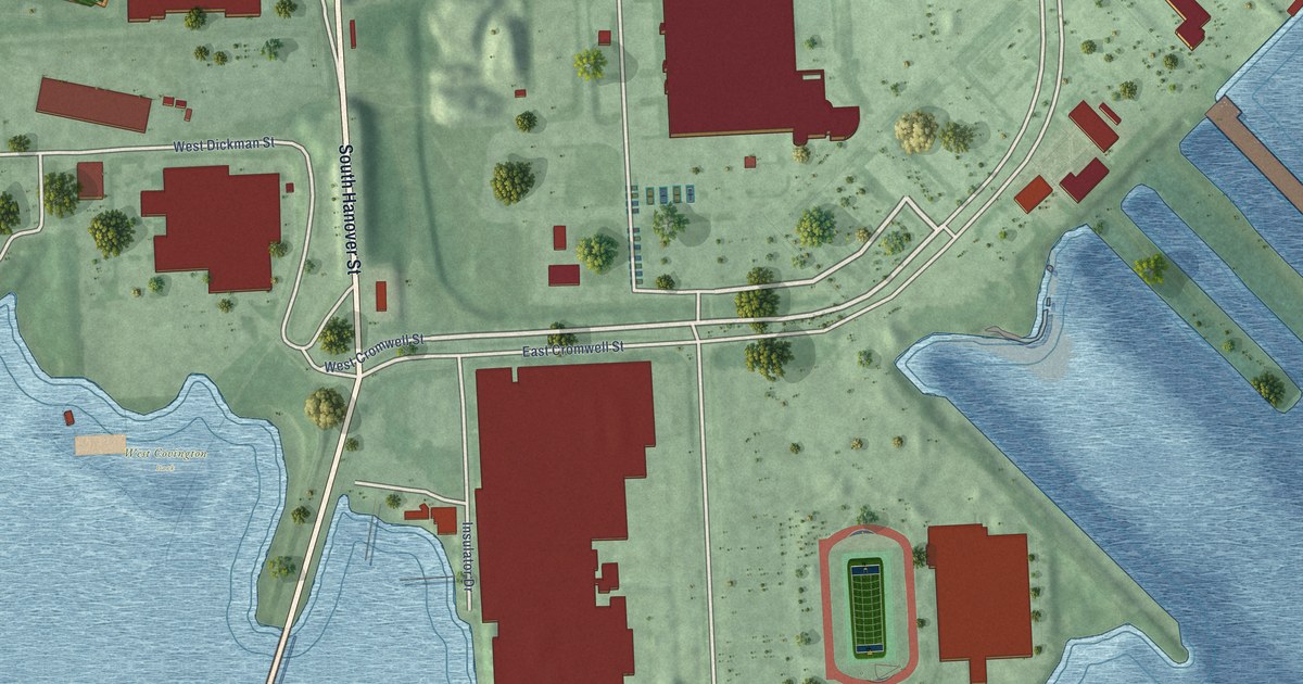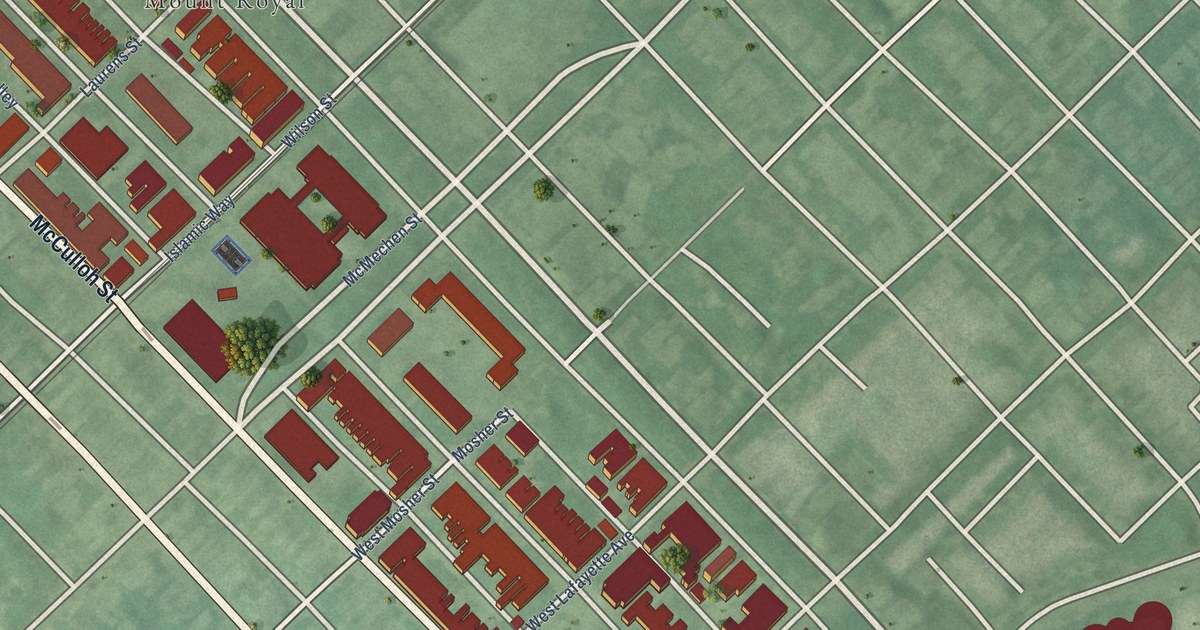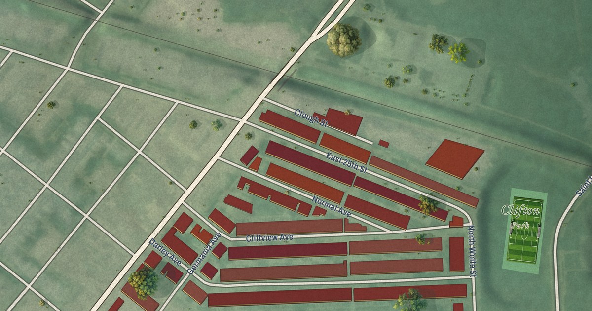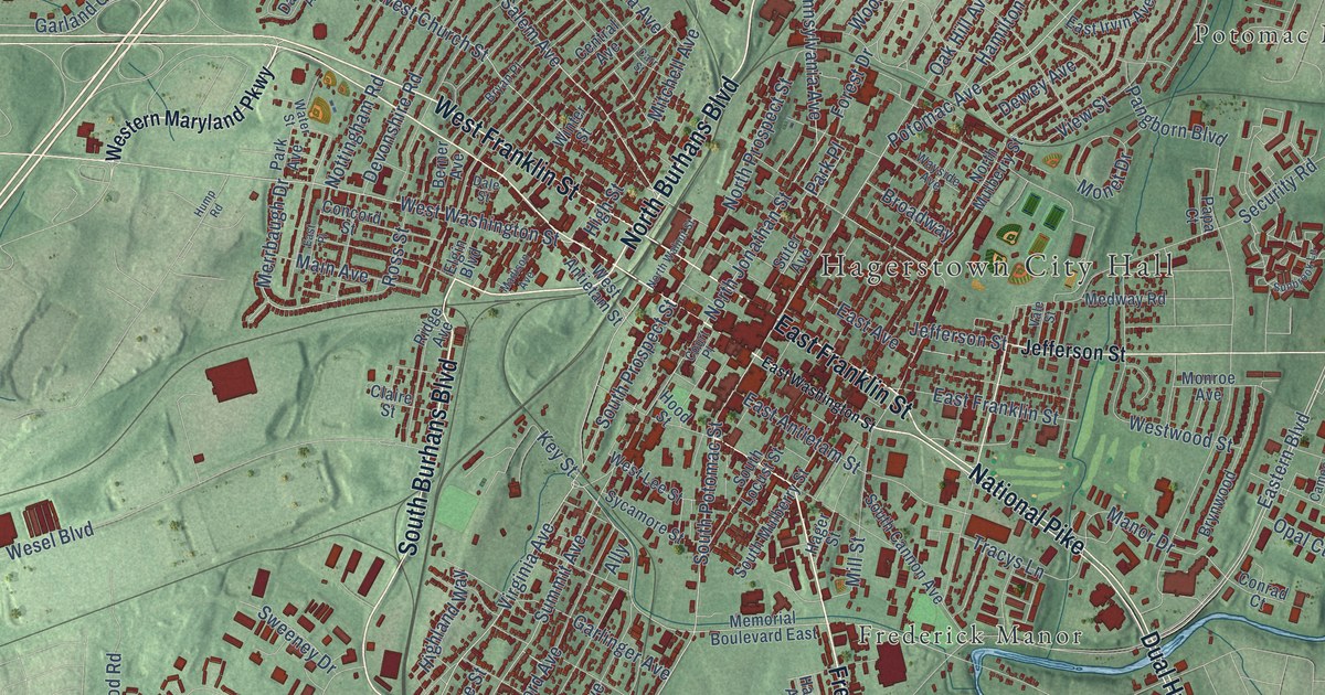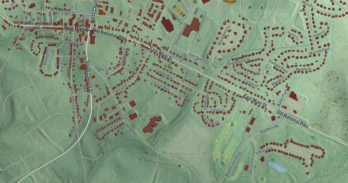
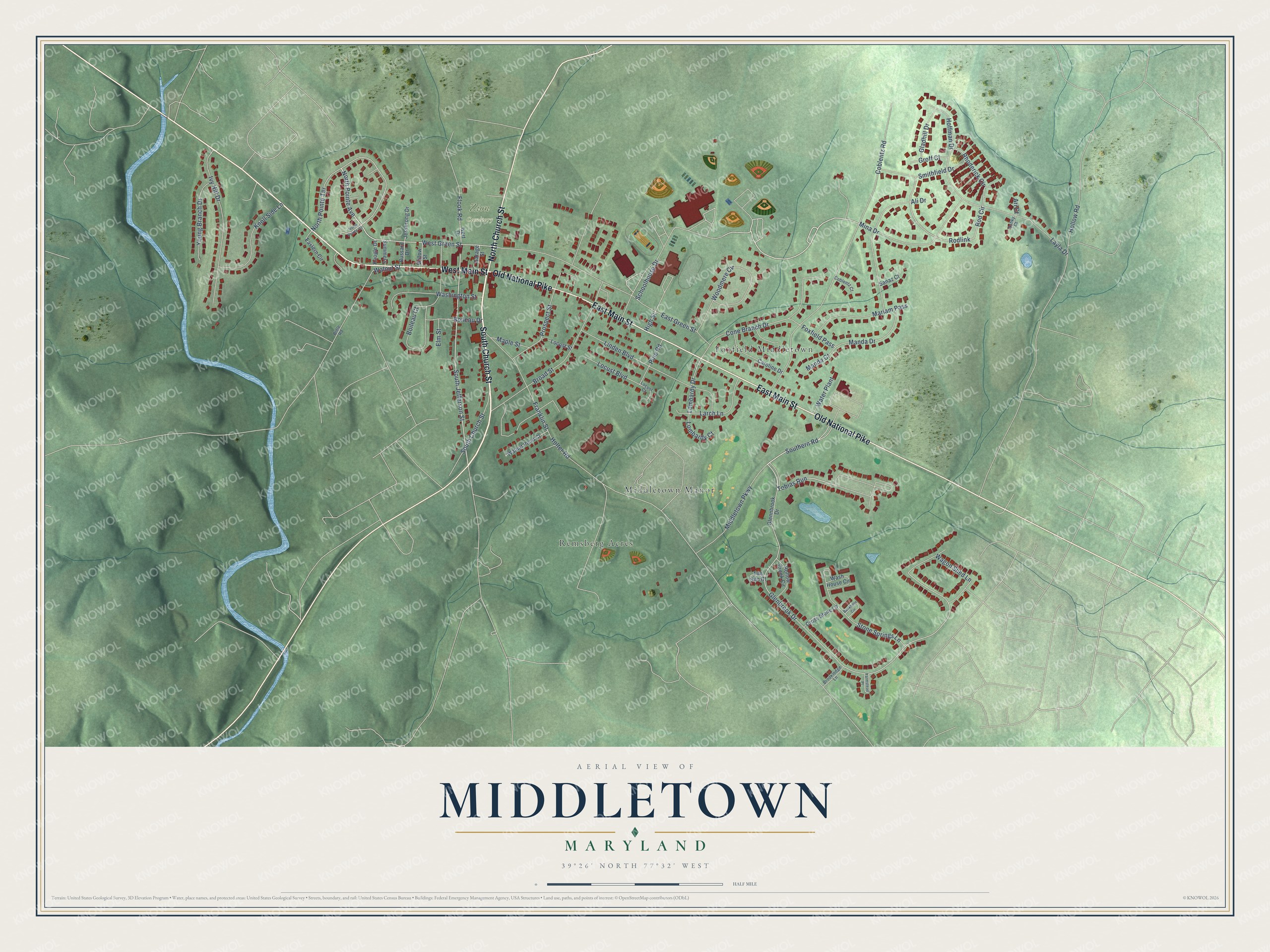
This beautifully detailed map of Middletown, Maryland was created in 2026 using aerial imagery combined with modern topographical, census, street and landmark data. It's a modern aerial view of Middletown in Frederick County, Maryland, that combines modern data with a vintage aesthetic. The roads feature printed names, and if you look closely you can find your exact house accurately shown in its correct location.
Explore an aerial view of Middletown, Maryland
On this map you'll find Zion Cemetery, Foxfield Middletown, Middletown Manor, Remsberg Acres, South Church Street, West Main Street, Old National Pike, East Main Street, North Church Street, Southern Road, Glenbrook Drive, South Jefferson Street, and more. Each red shape is a building, so zoom in on the preview and look for yours.
Middletown has a story worth telling. The History of Western Maryland puts it this way: "On the south the beautiful groups of houses composing Middletown, with its white spires standing up in the midst, rise out of the hollow and from behind the hills, like a bird ready to take its flight."
Middletown is a town in Frederick County. The Census Bureau counted 4,943 people here in 2020.
Take a closer look at the Middletown map
Names on this map
These names are printed on this map.
Places: Zion Cemetery, Foxfield Middletown, Middletown Manor and Remsberg Acres.
Streets and roads: South Church Street, West Main Street, Old National Pike, East Main Street, North Church Street, Southern Road, Glenbrook Drive, South Jefferson Street, Tobias Run, West Green Street, North Pointe Avenue, North Pointe Terrace.
More street names, A to Z
Ali Drive, Ari Court, Ashky Court, Bankbarn Circle, Bidle Road, Boileau Court, Boileau Drive, Broad Street, Brooklodge Lane, Bussard Drive, Caroline Drive, Coblentz Court, Coblentz Road, Cone Branch Drive, Cross Stone Lane, Eastern Circle, East Green Street, Elm Street, Farmstead Place, Flook Road, Foxfield Pass, Franklin Street, Garage Street, Gladhill Drive, Glennbrook Drive, Groff Court, High Street, Hoffman Drive, Hollow Creek Circle, Hollow Road, Holter Road, Ivert Drive, Ivy Hill Drive, Jesserong Drive, Knoll Side Lane, Koogle Drive, Larch Lane, Layla Drive, Linden Boulevard, Locust Boulevard, Locust Court, Locust Street, Lombardy Court, Lombardy Drive, Manda Court, Manda Drive, Maple Street, Mariam Pass, Middletown Parkway, Mina Drive, North Pointe Circle, Pine Road, Prospect Street, Rhoderick Circle, Rod Circle, Rodlink, Sanaz Court, Schoolhouse Drive, Smithfield Drive, Stone Springs Lane, Summers, Tile Silo Court, Wagon Shed Lane, Walnut Pond Court, Walnut Street, Wash House Circle, Washington Street, Water Plant, Willow Street, Woodmere Circle, Young Branch Drive.
Created by KNOWOL in 2026. The buildings are small red shapes, the roads carry their printed names, and shaded relief shows the shape of the land. The title panel reads "AERIAL VIEW OF MIDDLETOWN MARYLAND" with 39°26' NORTH 77°32' WEST.
It looks right in a kitchen, an office or a den, and it's a gift for anyone who grew up in Middletown or moved away. Open the preview and find your street. See sizes and frames for the Middletown map.